|
Abyei District
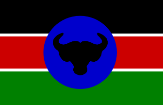
Abyei District was a former district of the Sudan, considered part of the state of West Kurdufan. Upon the dissolution of West Kurdufan in 2005, it was included in the state of South Kurdufan. Its administrative centre was the town of Abyei. Creation Dissolution The 2004 ''Protocol on the resolution of the Abyei conflict'' (Abyei Protocol) in the Comprehensive Peace Agreement (CPA) that ended the Second Sudanese Civil War included provisions to replace the Abyei district with a new jurisdiction to be accorded "special administrative status".“Protocol on the resolution of Abyei conflict” Government of the Republic of Sudan and the Sudan People’s Liberation Movement/Army, 26 May 2004 (hosted by reliefweb.int) The new area was to have different borders, intended ... [...More Info...] [...Related Items...] OR: [Wikipedia] [Google] [Baidu] |
Sudan District Map Abyei
Sudan ( or ; ar, السودان, as-Sūdān, officially the Republic of the Sudan ( ar, جمهورية السودان, link=no, Jumhūriyyat as-Sūdān), is a country in Northeast Africa. It shares borders with the Central African Republic to the southwest, Chad to the west, Egypt to the north, Eritrea to the northeast, Ethiopia to the southeast, Libya to the northwest, South Sudan to the south and the Red Sea. It has a population of 45.70 million people as of 2022 and occupies 1,886,068 square kilometres (728,215 square miles), making it Africa's third-largest country by area, and the third-largest by area in the Arab League. It was the largest country by area in Africa and the Arab League until the secession of South Sudan in 2011, since which both titles have been held by Algeria. Its capital is Khartoum and its most populated city is Omdurman (part of the metropolitan area of Khartoum). Sudan's history goes back to the Pharaonic period, witnessing the Kingdom of Kerm ... [...More Info...] [...Related Items...] OR: [Wikipedia] [Google] [Baidu] |
Districts Of Sudan
Before the independence of South Sudan, the States of Sudan were subdivided into 133 districts. With the adoption of the Interim National Constitution of Sudan and the Interim Constitution of Southern Sudan,''The Interim Constitution of Southern Sudan'' (PDF) (cushcommunity.org) the ten states of are, however, now divided into . The maps on this page represent the boundaries as they existed in 2006. Current information is available from the Humanitarian Data Exchange. The districts are listed below, ... [...More Info...] [...Related Items...] OR: [Wikipedia] [Google] [Baidu] |
West Kurdufan
West Kordofan ( ar, غرب كردفان; ) is one of the 18 wilayat or provinces of Sudan. In 2006 it had an area of 111,373 km² and an estimated population of approximately 1,320,405. Al-Fulah is the capital of the state. In August 2005, West Kordofan State was abolished and its territory divided between North and South Kordofan States, in implementation of the Protocol between the Government of Sudan (GOS) and the Sudan People’s Liberation Movement (SPLM) on the resolution of conflict in Southern Kordofan/Nuba Mountains and Blue Nile States signed at Naivasha, Kenya, 26 May 2004. Section 2.1 of the protocol states that "The boundaries of Southern Kordofan/Nuba Mountains State shall be the same boundaries of former Southern Kordofan Province when Greater Kordofan was sub-divided into two provinces." The protocol forms part of the Comprehensive Peace Agreement between the government of Sudan and the Sudan People's Liberation Movement. Al Fulah presently has the status ... [...More Info...] [...Related Items...] OR: [Wikipedia] [Google] [Baidu] |
South Kurdufan
South Kordofan ( ar, جنوب كردفان ') is one of the 18 wilayat or states of Sudan. It has an area of 158,355 km² and an estimated population of approximately 1,100,000 people (2000).South Kordofan State , Sudan Ministry of the Cabinet Affairs, 22 July 2008 Kaduqli is the capital of the state. It is centered on the . At one time it was supposed that South Kordofan was the only state in (North) Sudan suitable for producing oil, but oil has also been discovered in neighboring White Nile State in larger quantities. Under the [...More Info...] [...Related Items...] OR: [Wikipedia] [Google] [Baidu] |
Abyei (town)
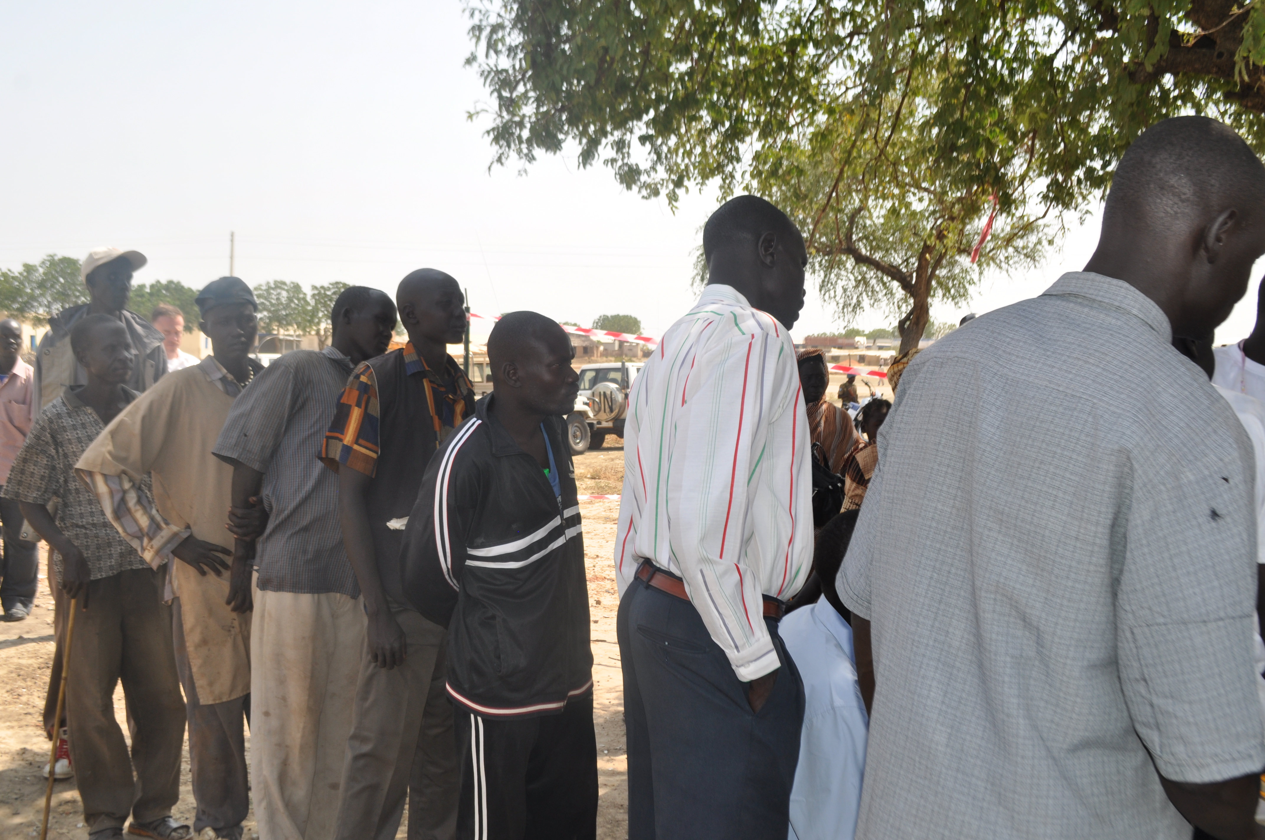
Abyei (also spelled Abyēy; ar, أبيي) is a border town currently in the Abyei Area that is disputed by South Sudan and the Sudan. The U.N. estimated the town's population at around 20,000 previous to May 2011 events.Reuters; 05.22.2011; "North Sudan seizes disputed Abyei, thousands flee" . accessed 5.30.2011 The oil-producing and fertile Abyei Area, with Abyei town as its center, is a disputed territorial point of contention in the July 2011 secession of South Sudan process. History 2008 conflict Abyei town was almos ...[...More Info...] [...Related Items...] OR: [Wikipedia] [Google] [Baidu] |
Comprehensive Peace Agreement
The Comprehensive Peace Agreement (CPA, ar, اتفاقية السلام الشامل, Ittifāqiyyah al-salām al-šāmil), also known as the Naivasha Agreement, was an accord signed on January 9, 2005, by the Sudan People's Liberation Movement (SPLM) and the Government of Sudan. The CPA was meant to end the Second Sudanese Civil War, develop democratic governance countrywide, and share oil revenues. It also set a timetable for a Southern Sudanese independence referendum. The peace process was encouraged by the Intergovernmental Authority on Development (IGAD), as well as IGAD-Partners, a consortium of donor countries. Components The process resulted in the following agreements (also referred to as protocols): * The Machakos Protocol (or Chapter I), signed in Machakos, Kenya on 20 July 2002. Agreement on broad principles of government and governance. * The Protocol on Power Sharing (or Chapter II), signed in Naivasha, Kenya on 26 May 2004 * The Agreement on Wealth Sha ... [...More Info...] [...Related Items...] OR: [Wikipedia] [Google] [Baidu] |
Second Sudanese Civil War
The Second Sudanese Civil War was a conflict from 1983 to 2005 between the central Sudanese government and the Sudan People's Liberation Army. It was largely a continuation of the First Sudanese Civil War of 1955 to 1972. Although it originated in southern Sudan, the civil war spread to the Nuba mountains and the Blue Nile. It lasted for 22 years and is one of the longest civil wars on record. The war resulted in the independence of South Sudan six years after the war ended. Roughly two million people died as a result of war, famine and disease caused by the conflict. Four million people in southern Sudan were displaced at least once (and normally repeatedly) during the war. The civilian death toll is one of the highest of any war since World War II and was marked by numerous human rights violations, including slavery and mass killings. Background and causes The Sudanese war is often characterized as a fight between the central government expanding and dominating peoples ... [...More Info...] [...Related Items...] OR: [Wikipedia] [Google] [Baidu] |
Dinka
The Dinka people ( din, Jiɛ̈ɛ̈ŋ) are a Nilotes, Nilotic ethnic group native to South Sudan with a sizable diaspora population abroad. The Dinka mostly live along the Nile, from Jonglei to Renk, South Sudan, Renk, in the region of Bahr el Ghazal (region of South Sudan), Bahr el Ghazal, Upper Nile (two out of three Provinces which were formerly located in southern Sudan), and the Abyei Area of the Ngok Dinka in South Sudan. They number around 4.5 million people according to the 2008 Sudan census, constituting about 18% of the population of the entire country and the largest ethnic tribe in South Sudan. Dinka, or as they refer to themselves, (singular) and (plural), make up one of the branches of the River Lake Nilotic peoples, Nilotes (mainly sedentary agropastoral peoples of the Nile Valley and African Great Lakes region who speak Nilotic languages, including the Nuer language, Nuer and Luo (Kenya and Tanzania), Luo). Dinka are noted for their height, and, along with the Tu ... [...More Info...] [...Related Items...] OR: [Wikipedia] [Google] [Baidu] |
Kordofan
Kordofan ( ar, كردفان ') is a former province of central Sudan. In 1994 it was divided into three new federal states: North Kordofan, South Kordofan and West Kordofan. In August 2005, West Kordofan State was abolished and its territory divided between North and South Kordofan States, as part of the implementation of the Comprehensive Peace Agreement between the Government of Sudan and the Sudan People's Liberation Movement. West Kordofan was reestablished in July 2013. Geography Kordofan covers an area of some 376,145 km² (146,932 miles²), with an estimated population in 2000 of 3.6 million (3 million in 1983). It is largely an undulating plain, with the Nuba Mountains in the southeast quarter. During the rainy season from June to September, the area is fertile, but in the dry season, it is virtually desert. The region’s chief town is El-Obeid. Economy and demography Traditionally the area is known for production of gum arabic. Other crops include groundnuts, co ... [...More Info...] [...Related Items...] OR: [Wikipedia] [Google] [Baidu] |
Abyei
The Abyei Area ( ar, منطقة أبيي) is an area of on the border between South Sudan and the Sudan that has been accorded "special administrative status" by the 2004 Protocol on the Resolution of the Abyei Conflict (Abyei Protocol) in the Comprehensive Peace Agreement (CPA) that ended the Second Sudanese Civil War.“Protocol on the resolution of Abyei conflict” Government of the Republic of Sudan and the Sudan People’s Liberation Movement/Army, 26 May 2004 (hosted by reliefweb.int) The capital of the Abyei Area is Abyei Town. Under the terms of the Abyei Protocol, the Abyei Area was considered, on an interim basis, to be simultaneously part of both the |
South Kordofan
South Kordofan ( ar, جنوب كردفان ') is one of the 18 wilayat or states of Sudan. It has an area of 158,355 km² and an estimated population of approximately 1,100,000 people (2000).South Kordofan State , Sudan Ministry of the Cabinet Affairs, 22 July 2008 Kaduqli is the capital of the state. It is centered on the . At one time it was supposed that South Kordofan was the only state in (North) Sudan suitable for producing oil, but oil has also been discovered in neighboring White Nile State in larger quantities. Under the [...More Info...] [...Related Items...] OR: [Wikipedia] [Google] [Baidu] |
.png)


_b_345.jpg)
