|
A2030 Road
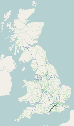
The A2030 is a road in Hampshire. The road starts off at junction 5 of the A3(M), near the village of Bedhampton. The road then runs west along the base of Portsdown Hill, following the old route of the A27 into Portsmouth until it reaches the Drayton area. This section of road is called Havant Road. It then turns sharply south directly between Drayton and Farlington, and begins to run down towards the main areas of Portsmouth on Portsea Island. Just before crossing onto Portsea Island is a busy junction with the current A27. The road then continues along the east coast of the island before bearing right coming to a junction with Milton Road. This section of the road is known as Eastern Road, apart from the southernmost 100 m which is called Velder Avenue. From here it winds its way across Portsmouth, changing names a number of times, before terminating at a junction with the A3 in Portsmouth City centre. Being one of only three roads between Portsea Island and the ma ... [...More Info...] [...Related Items...] OR: [Wikipedia] [Google] [Baidu] |
Bedhampton
Bedhampton is a former village, and now suburb, located in the Borough of Havant, Hampshire, England. It is located at the northern end of Langstone Harbour and at the foot of the eastern end of Portsdown Hill. Early mentions of Bedhampton are recorded in the ninth century, and the village was mentioned in the Domesday Book. Modern Bedhampton has a railway station, with regular services to Portsmouth, Brighton, and London, and less frequent services to Southampton, Bristol, and South Wales. The A27 and the A3(M) pass through the south-west part of Bedhampton. There is a community centre in Bedhampton village which has two coffee mornings per week to address potential community isolation. Housing Bedhampton has a mixture of older houses, many (but not all) in what is known as ''Old Bedhampton''; post-war municipal housing at ''Stockheath''; built in the late 50s and 60s at the southern end of the Leigh Park estate, a significant proportion of which is now privately owned; ... [...More Info...] [...Related Items...] OR: [Wikipedia] [Google] [Baidu] |
Portsmouth
Portsmouth ( ) is a port and city in the ceremonial county of Hampshire in southern England. The city of Portsmouth has been a unitary authority since 1 April 1997 and is administered by Portsmouth City Council. Portsmouth is the most densely populated city in the United Kingdom, with a population last recorded at 208,100. Portsmouth is located south-west of London and south-east of Southampton. Portsmouth is mostly located on Portsea Island; the only English city not on the mainland of Great Britain. Portsea Island has the third highest population in the British Isles after the islands of Great Britain and Ireland. Portsmouth also forms part of the regional South Hampshire conurbation, which includes the city of Southampton and the boroughs of Eastleigh, Fareham, Gosport, Havant and Waterlooville. Portsmouth is one of the world's best known ports, its history can be traced to Roman times and has been a significant Royal Navy dockyard and base for centuries. Portsm ... [...More Info...] [...Related Items...] OR: [Wikipedia] [Google] [Baidu] |
Hampshire
Hampshire (, ; abbreviated to Hants) is a ceremonial county, ceremonial and non-metropolitan county, non-metropolitan counties of England, county in western South East England on the coast of the English Channel. Home to two major English cities on its south coast, Southampton and Portsmouth, Hampshire is the 9th-most populous county in England. The county town of Hampshire is Winchester, located in the north of the county. The county is bordered by Dorset to the south-west, Wiltshire to the north-west, Berkshire to the north, Surrey to the north-east, and West Sussex to the south east. The county is geographically diverse, with upland rising to and mostly south-flowing rivers. There are areas of downland and marsh, and two national parks: the New Forest National Park, New Forest and part of the South Downs National Park, South Downs, which together cover 45 per cent of Hampshire. Settled about 14,000 years ago, Hampshire's recorded history dates to Roman Britain, when its chi ... [...More Info...] [...Related Items...] OR: [Wikipedia] [Google] [Baidu] |
A3 Road
The A3, known as the Portsmouth Road or London Road in sections, is a major road connecting the City of London and Portsmouth passing close to Kingston upon Thames, Guildford, Haslemere and Petersfield. For much of its length, it is classified as a trunk road and therefore managed by National Highways. Almost all of the road has been built to dual carriageway standards or wider. Apart from bypass sections in London, the road travels in a southwest direction and, after Liss, south-southwest. Close to its southerly end, motorway traffic is routed via the A3(M), then either the east–west A27 or the Portsmouth-only M275 which has multiple lanes leading off the westbound A27 — for non-motorway traffic, the A3 continues into Portsmouth alongside the A3(M), mostly as a single carriageway in each direction through Waterlooville and adjoining small towns. The other section of single carriageways is through the urban environs of Battersea, Clapham and Stockwell towards the no ... [...More Info...] [...Related Items...] OR: [Wikipedia] [Google] [Baidu] |
Portsdown Hill
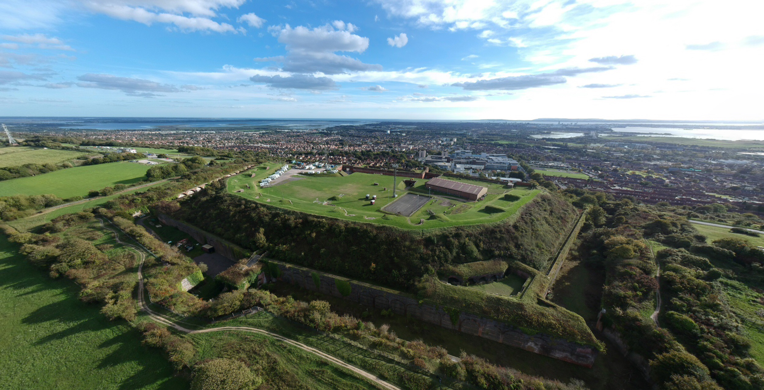
Portsdown Hill is a long chalk ridge in Hampshire, England. The highest point of the hill lies within Fort Southwick at 131m above sea level. The ridge offers good views to the south over Portsmouth, the Solent, Hayling Island and Gosport, with the Isle of Wight beyond. The hill is on the mainland, just to the north of Ports Creek, which separates the mainland from Portsea Island, on which lies the main part of the city of Portsmouth, one of the United Kingdom's main naval bases. To the north lies the Forest of Bere, with the South Downs visible in the distance. Butser Hill can be seen on a clear day. The hill is formed from an inlier of chalk which has been brought to the surface by an east–west upfold of the local strata known as the Portsdown Anticline. Southwick House is close by the north side of the hill, the HQ for U.S. General Dwight D. Eisenhower during the D-Day invasions; the generals prayed together before D-Day at Christ Church Portsdown, on the hill, which has ... [...More Info...] [...Related Items...] OR: [Wikipedia] [Google] [Baidu] |
Drayton, Portsmouth
Drayton is a residential area of the city of Portsmouth in the English county of Hampshire. Together with Farlington, its parent area, it makes up one of the electoral wards of the city. History The earliest mention of Drayton was as a manor of Farlington parish. It appears in a document of the year 1250, when Henry III gave a moiety (legally fixed half share) of the land there to Roger de Merlay. ''Dreton'' appears as its form in the 14th century. Unlike the majority of the city, Drayton lies on the mainland rather than Portsea Island. The manor may be included under the Domesday Book of 1086's entry of Cosham; both were within decades confirmed as in Farlington parish. The area including Drayton became incorporated into Portsmouth in 1920.'Parishes: Farlington', in A History of the County of Hampshire: Volume 3, ed. William Page (London, 1908), pp. 148-151. British History Online http://www.british-history.ac.uk/vch/hants/vol3/pp148-151 ccessed 25 May 2018 This followed a ... [...More Info...] [...Related Items...] OR: [Wikipedia] [Google] [Baidu] |
Portsea Island
Portsea Island is a flat and low-lying natural island in area, just off the southern coast of Hampshire in England. Portsea Island contains the majority of the city of Portsmouth. Portsea Island has the third-largest population of all the islands in the British Isles after the mainlands of Great Britain and Ireland; it also has the highest population density of any British Isle, and Portsmouth has the highest population density of any city in the UK outside of London. To the east of Portsea Island lies Hayling Island, separated by Langstone Harbour. To the west is the peninsular mainland town of Gosport, separated by Portsmouth Harbour. To the south, it faces into the Spithead area of the wider Solent. A narrow tidal channel along the northern edge of Portsea Island, known as Portsbridge Creek, separates Portsea Island from the mainland. Three roads connect Portsea Island to the mainland road network; the M275 motorway, the A3 London Road (split on two separate bridge ... [...More Info...] [...Related Items...] OR: [Wikipedia] [Google] [Baidu] |
A27 Road
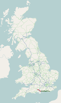
The A27 is a major road in England. It runs from its junction with the A36 at Whiteparish (near Salisbury) in the county of Wiltshire, follows the south coast of Hampshire and West Sussex, and terminates at Pevensey (near Eastbourne and Bexhill) in East Sussex. It is the westernmost road in Zone 2 in the UK road numbering system. Between Portsmouth and Lewes, it is one of the busiest trunk roads in the UK. History Historically, for longer distance movement along the south coast, the M25 in combination with the M2, M20, M23 / A23, A3 / A3(M) and M3 has provided an attractive alternative to the actual south coast route of A259, A27 and M27. In 2002 an offpeak journey between Margate and Southampton via the M25 took 2 hours 30 minutes, and via the coastal route using the A259, A27 and M27 took 3 hours 50 minutes. The reason the coastal route is so much slower than the M25 alternative is largely due to a series of bottlenecks on the A27. These include Chichester, Arundel, Wort ... [...More Info...] [...Related Items...] OR: [Wikipedia] [Google] [Baidu] |
Great Britain Road Numbering System
The Great Britain road numbering scheme is a numbering scheme used to classify and identify all roads in Great Britain. Each road is given a single letter (which represents the road's category) and a subsequent number (between 1 and 4 digits). Introduced to arrange funding allocations, the numbers soon became used on maps and as a method of navigation. Two sub-schemes exist: one for motorways, and another for non-motorway roads. While some major roads form part of the International E-road network, no E-routes are signposted in Great Britain, or the rest of the UK. Due to changes in local road designation, in some cases roads are numbered out of zone. There are also instances where road numbers in one area are also found in another location. For example the A594 is designated as the Leicester Ring Road and also allocated to a road in Cumbria. The scheme applies only to England, Scotland and Wales; a similar system is used in Northern Ireland, as well as outside the UK in the Is ... [...More Info...] [...Related Items...] OR: [Wikipedia] [Google] [Baidu] |
Roads In England
The United Kingdom has a network of roads, of varied quality and capacity, totalling about . Road distances are shown in miles or yards and UK speed limits are indicated in miles per hour (mph) or by the use of the national speed limit (NSL) symbol. Some vehicle categories have various lower maximum limits enforced by speed limiters. A unified numbering system is in place for Great Britain, whilst in Northern Ireland, there is no available explanation for the allocation of road numbers. The earliest specifically engineered roads were built during the British Iron Age. The road network was expanded during the Roman occupation. Some of these roads still remain to this day. New roads were added in the Middle Ages and from the 17th century onwards. Whilst control has been transferred between local and central bodies, current management and development of the road network is shared between local authorities, the devolved administrations of Scotland, Wales and Northern Ireland, a ... [...More Info...] [...Related Items...] OR: [Wikipedia] [Google] [Baidu] |
2009.jpg)


