|
A12 Motorway (Netherlands)
The A12 motorway is a motorway in the Netherlands. The road connects the city of The Hague with the German border, near Zevenaar, and the German Autobahn BAB 3. On its way, it crosses three Dutch provinces: South Holland, Utrecht, and Gelderland. European routes The A12 motorway runs along with parts of three major European routes: * The European route E30 follows the A12 between interchange Prins Clausplein near The Hague, and interchange Lunetten, just southeast of the city of Utrecht. * The European route E25 runs along the A12 between interchange Gouwe near Gouda, and interchange Oudenrijn, just southwest of Utrecht. * The European route E35 follows the route of the A12 from interchange Oudenrijn towards the German border. The A12 near The Hague The section of the A12 road within the city of The Hague (near exits 1, 2 and 3) is actually not a motorway, but a highway. This part of the road, known as the ''Utrechtsebaan'', is too narrow to meet the Dutch requiremen ... [...More Info...] [...Related Items...] OR: [Wikipedia] [Google] [Baidu] |
The Hague
The Hague ( ; nl, Den Haag or ) is a city and municipality of the Netherlands, situated on the west coast facing the North Sea. The Hague is the country's administrative centre and its seat of government, and while the official capital of the Netherlands is Amsterdam, The Hague has been described as the country's de facto capital. The Hague is also the capital of the province of South Holland, and the city hosts both the International Court of Justice and the International Criminal Court. With a population of over half a million, it is the third-largest city in the Netherlands, after Amsterdam and Rotterdam. The Hague is the core municipality of the Greater The Hague urban area, which comprises the city itself and its suburban municipalities, containing over 800,000 people, making it the third-largest urban area in the Netherlands, again after the urban areas of Amsterdam and Rotterdam. The Rotterdam–The Hague metropolitan area, with a population of approximately 2.6&n ... [...More Info...] [...Related Items...] OR: [Wikipedia] [Google] [Baidu] |
Utrecht (city)
Utrecht ( , , ) is the fourth-largest city and a municipality of the Netherlands, capital and most populous city of the province of Utrecht. It is located in the eastern corner of the Randstad conurbation, in the very centre of mainland Netherlands, about 35 km south east of the capital Amsterdam and 45 km north east of Rotterdam. It has a population of 361,966 as of 1 December 2021. Utrecht's ancient city centre features many buildings and structures, several dating as far back as the High Middle Ages. It has been the religious centre of the Netherlands since the 8th century. It was the most important city in the Netherlands until the Dutch Golden Age, when it was surpassed by Amsterdam as the country's cultural centre and most populous city. Utrecht is home to Utrecht University, the largest university in the Netherlands, as well as several other institutions of higher education. Due to its central position within the country, it is an important hub for both rail and road ... [...More Info...] [...Related Items...] OR: [Wikipedia] [Google] [Baidu] |
Beek, Montferland
Beek is a village in the Dutch province of Gelderland. It is located in the municipality Montferland, about 5 km southeast of Didam.''ANWB Topografische Atlas Nederland'', Topografische Dienst and ANWB, 2005. History It was first mentioned in 1206 as Beke, and means brook. The St Martinus Church dates from 1868. The tower was built in 1884 and has 15th century elements. The guild house St. Jan was constructed in 1897. In 1840, it was home to 573 people. Notable people * Clemens Westerhof Clemens Westerhof (born 3 May 1940) is a Dutch football manager, who has worked in various football positions on the African continent since 1989. He is most noted for his success with the Nigerian national team. Under Westerhof, the Super ... (born 1940), football manager Gallery File:Beek Montferland 't Peeske PM19-01.jpg, Pub in Beek File:Beek Montferland Gildehuis St. Jan PM19-01.jpg, Guild hose in Beek File:Beek Montferland Sint Jansgildestraat PM19-02.jpg, Tree in fron ... [...More Info...] [...Related Items...] OR: [Wikipedia] [Google] [Baidu] |
IJssel
The IJssel (; nds-nl, Iessel(t) ) is a Dutch distributary of the river Rhine that flows northward and ultimately discharges into the IJsselmeer (before the 1932 completion of the Afsluitdijk known as the Zuiderzee), a North Sea natural harbour. It more immediately flows into the east-south channel around the Flevopolder, Flevoland which is kept at 3 metres below sea level. This body of water is then pumped up into the IJsselmeer. It is sometimes called the Gelderse IJssel (; "Gueldern IJssel") to distinguish it from the Hollandse IJssel. It is in the provinces of Gelderland and Overijssel. The Romans knew the river as Isala. It flows from Westervoort, on the east side of the city of Arnhem. Similar to the Nederrijn which shares its short inflow, the Pannerdens Kanaal, it is a minor discharge of the Rhine. At the fork where the Kanaal is sourced the Rhine becomes named the Waal. This splitting-off is west of the German border. The Waal in turn interweaves with other rivers ... [...More Info...] [...Related Items...] OR: [Wikipedia] [Google] [Baidu] |
Ede, Netherlands
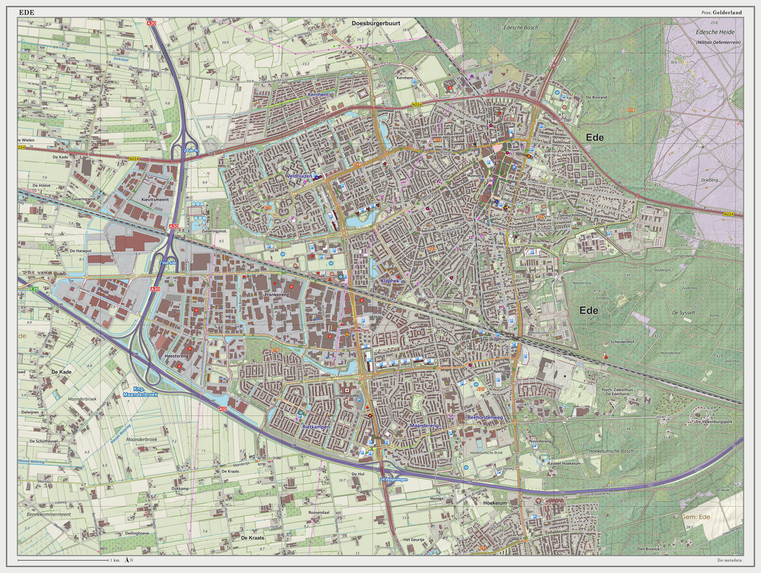
Ede () is a Municipalities of the Netherlands, municipality and a town in the centre of the Netherlands, in the province of Gelderland. Ede had 119,186 inhabitants. Population centres Community: * Bennekom * De Klomp * Deelen * Ede (town) * Ederveen * Harskamp * Hoenderloo * Lunteren * Otterlo (Kröller-Müller Museum) * Wekerom The village of Ede Location The village itself is situated halfway between the larger cities of Arnhem and Utrecht (city), Utrecht, with direct rail and road connections to both cities. There are no connections to any water nearby; however, there also is a direct road connection to the city of Wageningen which hosts a small industrial port on the river Rijn and a direct road and rail connection to the city of Arnhem, which features a larger port at a greater distance. The environment is clean and green due to the fact that Ede is partly built in a forest and partly on the central Dutch plains in the national park called Nationaal Park De Hoge Vel ... [...More Info...] [...Related Items...] OR: [Wikipedia] [Google] [Baidu] |
Bunnik
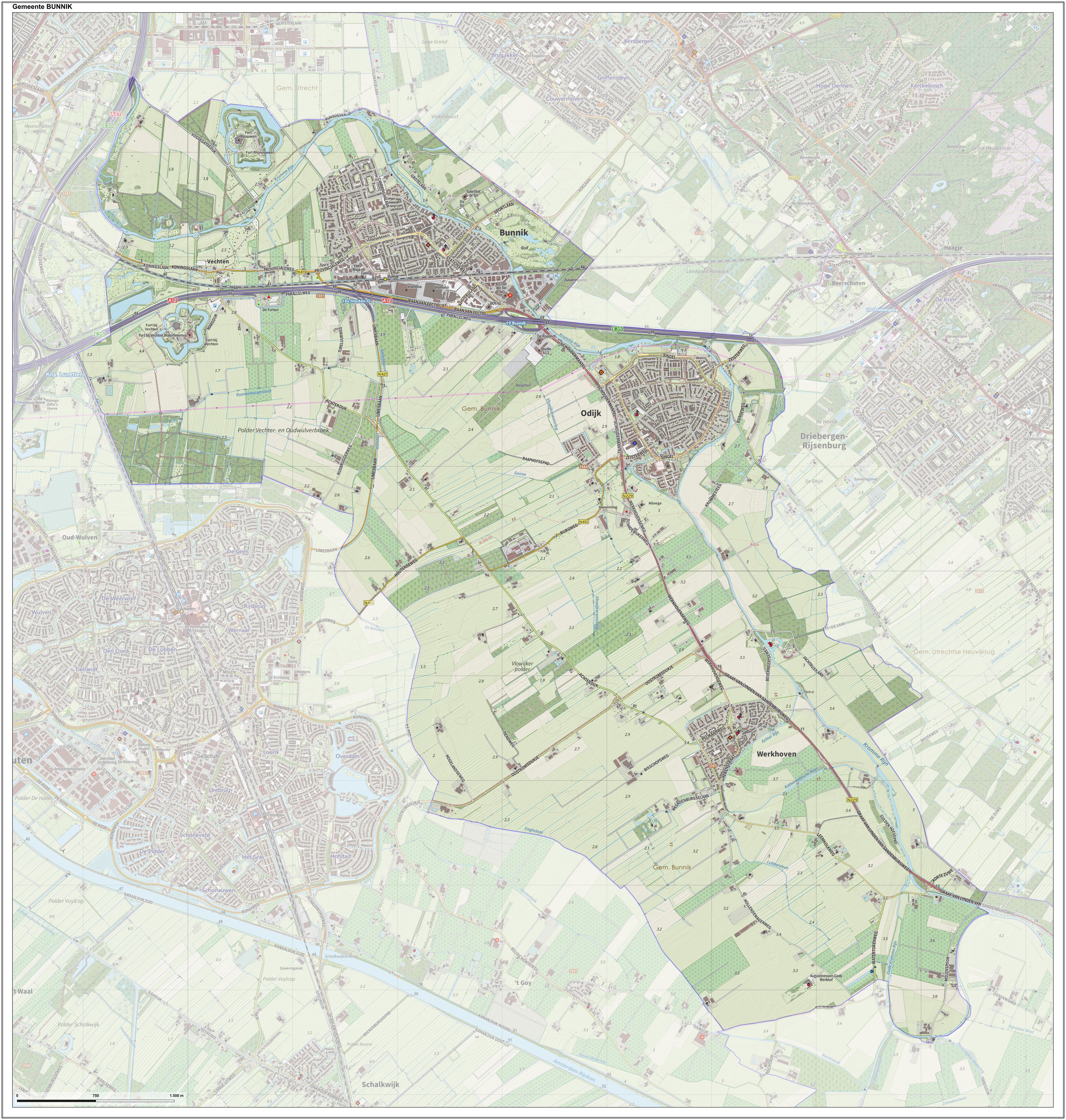
Bunnik () is a municipality and village in the province of Utrecht, Netherlands. The recorded history of the village dates back nearly 2000 years, when the Romans constructed a fort at Fectio (now Vechten) with a harbour facing the river Rhine, which marked the border of the Roman Empire. The fort developed into a thriving trading centre, which continued to exist after the Romans abandoned the fort in the fourth century. Subsequently, the area was occupied by the Frisians and the Franks. In the 8th and 9th century, the villages of Bunninchem (Bunnik), Lodichem (Odijk) and Wercundia (Werkhoven) developed. Chief interests of Bunnik are its surrounding nature, consisting mainly of forests and farmlands. Additionally, Bunnik, hosts the oldest Youth Hostel in the Netherlands. The major European construction and services company Royal BAM Group has its headquarters in Bunnik. Population centres The municipality of Bunnik consists of the following cities, towns, villages and/or distr ... [...More Info...] [...Related Items...] OR: [Wikipedia] [Google] [Baidu] |
Urban Planning
Urban planning, also known as town planning, city planning, regional planning, or rural planning, is a technical and political process that is focused on the development and design of land use and the built environment, including air, water, and the infrastructure passing into and out of urban areas, such as transportation, communications, and distribution networks and their accessibility. Traditionally, urban planning followed a top-down approach in master planning the physical layout of human settlements. The primary concern was the public welfare, which included considerations of efficiency, sanitation, protection and use of the environment, as well as effects of the master plans on the social and economic activities. Over time, urban planning has adopted a focus on the social and environmental bottom-lines that focus on planning as a tool to improve the health and well-being of people while maintaining sustainability standards. Sustainable development was added as one of th ... [...More Info...] [...Related Items...] OR: [Wikipedia] [Google] [Baidu] |
Shoulder (road)
A shoulder, hard shoulder (British) or breakdown lane, is an emergency stopping lane by the verge of a road or motorway, on the right side in countries which drive on the right, and on the left side in countries which drive on the left. Many wider (U.S.) freeways, or expressways elsewhere have shoulders on both sides of each directional carriageway — in the median, as well as at the outer edges of the road, for additional safety. Shoulders are not intended for use by through traffic, although there are exceptions. Purpose Shoulders have multiple uses, including: * Emergency vehicles such as ambulances, fire trucks and police cars may use the shoulder to bypass traffic congestion. * In the event of an emergency or breakdown, a motorist can pull into the shoulder to get out of the flow of traffic and obtain a greater degree of safety. * Active traffic management, used on busy multi-lane roads, may allow 'hard shoulder running' by general traffic at reduced speeds during periods ... [...More Info...] [...Related Items...] OR: [Wikipedia] [Google] [Baidu] |
Highway
A highway is any public or private road or other public way on land. It is used for major roads, but also includes other public roads and public tracks. In some areas of the United States, it is used as an equivalent term to controlled-access highway, or a translation for ''autobahn'', '' autoroute'', etc. According to Merriam Webster, the use of the term predates the 12th century. According to Etymonline, "high" is in the sense of "main". In North American and Australian English, major roads such as controlled-access highways or arterial roads are often state highways (Canada: provincial highways). Other roads may be designated "county highways" in the US and Ontario. These classifications refer to the level of government (state, provincial, county) that maintains the roadway. In British English, "highway" is primarily a legal term. Everyday use normally implies roads, while the legal use covers any route or path with a public right of access, including footpaths etc. Th ... [...More Info...] [...Related Items...] OR: [Wikipedia] [Google] [Baidu] |
European Route E35
European route E35 is a European route that runs from Amsterdam, Netherlands, in northwestern Europe, to Rome, Italy in the south of the continent. The road heads through Germany and Switzerland before reaching Italy. Route description * **: Amsterdam () **: Amsterdam () - Utrecht () **: Utrecht () - Arnhem - Zevenaar * **: Emmerich am Rhein - Duisburg - Köln () - Limburg a. d. Lahn () - Frankfurt am Main () **: Frankfurt am Main () - Darmstadt () - Mannheim (, Towards ) - Karlsruhe (Start of Concurrency with ) - Offenburg (), End of Concurrency with ) - Weil am Rhein () * **: Basel (, Start of Concurrency with ) - Olten (End of Concurrency with ) - Luzern - Altdorf () - Bellinzona () - Lugano - Chiasso * **: Como - Lainate () **: Lainate () - Milan () **: Milan ( ) **: Milan - Piacenza () - Parma () - Modena (Start of Concurrency with ) - Bologna (End of Concurrency with ) - Sasso Marconi **: Sasso Marconi - Barberino di Mugello **: Barberino di Mugello - Firenze () ... [...More Info...] [...Related Items...] OR: [Wikipedia] [Google] [Baidu] |

.jpg)


.jpg)