|
A119 Road (England)
The A119 road is an A road connecting Ware and Watton-at-Stone via Hertford Hertford ( ) is the county town of Hertfordshire, England, and is also a civil parish in the East Hertfordshire district of the county. The parish had a population of 26,783 at the 2011 census. The town grew around a ford on the River Lea, ne .... References Roads in England {{England-road-stub ... [...More Info...] [...Related Items...] OR: [Wikipedia] [Google] [Baidu] |
Ware, Hertfordshire
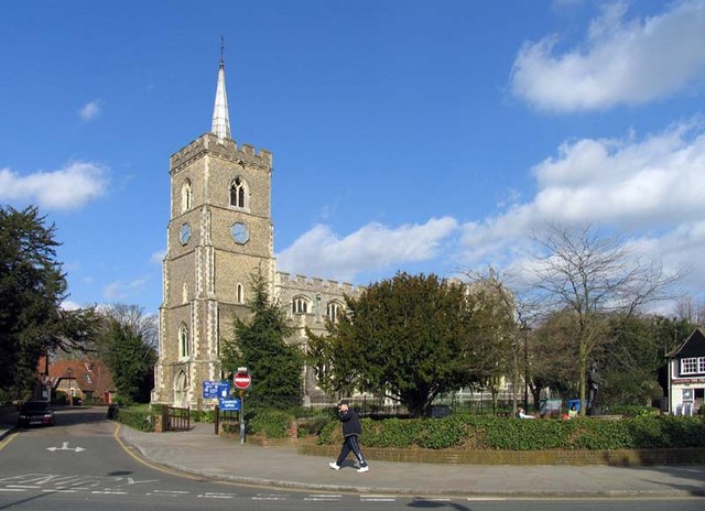
Ware is a town in Hertfordshire, England close to the county town of Hertford. It is also a civil parish in East Hertfordshire district. Location The town lies on the north–south A10 road which is partly shared with the east–west A414 (for Hertford to the west and Harlow to the east). There is a large viaduct over the River Lea at Kings Meads. The £3.6m two-mile bypass opened on 17 January 1979. At the north end of the bypass is the Wodson Park Sports and Leisure Centre and Hanbury Manor, a hotel and country club. The former route of the A10 through the town is now the A1170. The railway station is on the Hertford East Branch Line and operated by Greater Anglia and is on a short single track section of the otherwise double track line. History Archaeology has shown that Ware has been occupied since at least the Mesolithic period (which ended about 4000 BC). The Romans had a sizeable settlement here and foundations of several buildings, including a temple, and two cemeter ... [...More Info...] [...Related Items...] OR: [Wikipedia] [Google] [Baidu] |
Hertford
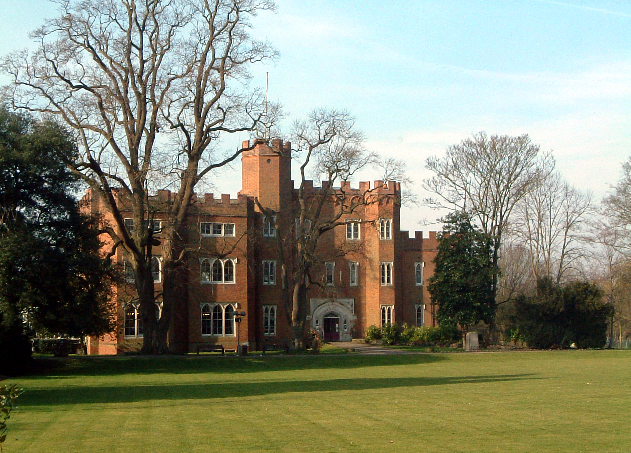
Hertford ( ) is the county town of Hertfordshire, England, and is also a civil parish in the East Hertfordshire district of the county. The parish had a population of 26,783 at the 2011 census. The town grew around a ford on the River Lea, near its confluences with the rivers Mimram, Beane, and Rib. The Lea is navigable from the Thames up to Hertford. Fortified settlements were established on each side of the ford at Hertford in 913AD. The county of Hertfordshire was established at a similar time, being named after and administered from Hertford. Hertford Castle was built shortly after the Norman Conquest in 1066 and remained a royal residence until the early seventeenth century. Hertfordshire County Council and East Hertfordshire District Council both have their main offices in the town and are major local employers, as is McMullen's Brewery, which has been based in the town since 1827. The town is also popular with commuters, being only north of central London a ... [...More Info...] [...Related Items...] OR: [Wikipedia] [Google] [Baidu] |
Watton-at-Stone
Watton-at-Stone is a village in the English county of Hertfordshire, situated midway between the towns of Stevenage and Hertford in the valley of the River Beane. The 2011 census showed a population of 2,272 living in 946 households. Watton-at-Stone is also a civil parish in East Hertfordshire District Council. Village life There is little employment directly within the village and it largely serves as a dormitory for commuters to London or to the nearby towns with half-hourly trains to Moorgate station. The village has a primary school and nursery school. The co-educational Heath Mount independent school is located on the outskirts in the private estate of the Grade II* listed Woodhall Park. The A602 formerly ran through the centre of the village between Stevenage and Hertford before a bypass was built in 1984 through farmland to the north-east. The section of the road to Hertford was renamed the A119, and the A602 then ran out of Watton-at-Stone to Ware. Watton-at- ... [...More Info...] [...Related Items...] OR: [Wikipedia] [Google] [Baidu] |
Great Britain Road Numbering Scheme
The Great Britain road numbering scheme is a numbering scheme used to classify and identify all roads in Great Britain. Each road is given a single letter (which represents the road's category) and a subsequent number (between 1 and 4 digits). Introduced to arrange funding allocations, the numbers soon became used on maps and as a method of navigation. Two sub-schemes exist: one for motorways, and another for non-motorway roads. While some major roads form part of the International E-road network, no E-routes are signposted in Great Britain, or the rest of the UK. Due to changes in local road designation, in some cases roads are numbered out of zone. There are also instances where road numbers in one area are also found in another location. For example the A594 is designated as the Leicester Ring Road and also allocated to a road in Cumbria. The scheme applies only to England, Scotland and Wales; a similar system is used in Northern Ireland, as well as outside the UK in the Is ... [...More Info...] [...Related Items...] OR: [Wikipedia] [Google] [Baidu] |
Ware, Hertfordshire
Ware is a town in Hertfordshire, England close to the county town of Hertford. It is also a civil parish in East Hertfordshire district. Location The town lies on the north–south A10 road which is partly shared with the east–west A414 (for Hertford to the west and Harlow to the east). There is a large viaduct over the River Lea at Kings Meads. The £3.6m two-mile bypass opened on 17 January 1979. At the north end of the bypass is the Wodson Park Sports and Leisure Centre and Hanbury Manor, a hotel and country club. The former route of the A10 through the town is now the A1170. The railway station is on the Hertford East Branch Line and operated by Greater Anglia and is on a short single track section of the otherwise double track line. History Archaeology has shown that Ware has been occupied since at least the Mesolithic period (which ended about 4000 BC). The Romans had a sizeable settlement here and foundations of several buildings, including a temple, and two cemeter ... [...More Info...] [...Related Items...] OR: [Wikipedia] [Google] [Baidu] |


