|
2008 Indian Floods
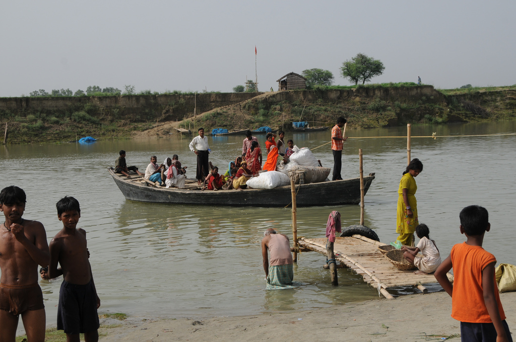
The 2008 Indian floods were a series of floods in various states of India during the 2008 monsoon season. The floods mostly affected the western regions of Maharashtra state and Andhra Pradesh as well as northern Bihar. In India, the monsoon season generally lasts from June to September. According to Ministry of Home Affairs (India)'s disaster management unit, the countrywide death toll from floods in various states was 2,404 between June to September. Early monsoon Earlier, during the start of the monsoon season, West Bengal and Orissa were hit with heavy rains, creating a flood-like situation in the two states. The monsoon killed 100 people, mostly in the country's east and north-east. In Andhra Pradesh alone, 42 people died in a matter of two days because of sudden, heavy rains. August flooding In August, the Konkan region of Maharashtra experienced heavy monsoon rains, placing lives in jeopardy. Many inter-city trains between Mumbai and Pune were cancelled. Heavy waterlog ... [...More Info...] [...Related Items...] OR: [Wikipedia] [Google] [Baidu] |
Assam
Assam (; ) is a state in northeastern India, south of the eastern Himalayas along the Brahmaputra and Barak River valleys. Assam covers an area of . The state is bordered by Bhutan and Arunachal Pradesh to the north; Nagaland and Manipur to the east; Meghalaya, Tripura, Mizoram and Bangladesh to the south; and West Bengal to the west via the Siliguri Corridor, a wide strip of land that connects the state to the rest of India. Assamese and Boro are the official languages of Assam, while Bengali is an additional official language in the Barak Valley. Assam is known for Assam tea and Assam silk. The state was the first site for oil drilling in Asia. Assam is home to the one-horned Indian rhinoceros, along with the wild water buffalo, pygmy hog, tiger and various species of Asiatic birds, and provides one of the last wild habitats for the Asian elephant. The Assamese economy is aided by wildlife tourism to Kaziranga National Park and Manas National Park, which are ... [...More Info...] [...Related Items...] OR: [Wikipedia] [Google] [Baidu] |
Landslide
Landslides, also known as landslips, are several forms of mass wasting that may include a wide range of ground movements, such as rockfalls, deep-seated grade (slope), slope failures, mudflows, and debris flows. Landslides occur in a variety of environments, characterized by either steep or gentle slope gradients, from mountain ranges to coastal cliffs or even underwater, in which case they are called submarine landslides. Gravity is the primary driving force for a landslide to occur, but there are other factors affecting slope stability that produce specific conditions that make a slope prone to failure. In many cases, the landslide is triggered by a specific event (such as a heavy rainfall, an earthquake, a slope cut to build a road, and many others), although this is not always identifiable. Causes Landslides occur when the slope (or a portion of it) undergoes some processes that change its condition from stable to unstable. This is essentially due to a decrease in the She ... [...More Info...] [...Related Items...] OR: [Wikipedia] [Google] [Baidu] |
Mahabharat Lekh
The Lower Himalayan Range ( ne, पर्वत शृङ्खला parbat shrinkhalā) – also called the Middle Himalayas or Lesser Himalayas or Himachal – is a major east–west mountain range with elevations 3,700 to 4,500 m (12,000 to 14,500 feet) in the northernmost regions of the Indian subcontinent along the crest, paralleling the much higher High Himalayas range from the Indus River in Pakistan across northern India, Nepal and Bhutan but then the two ranges become increasingly difficult to differentiate east of Bhutan as the ranges approach the Brahmaputra River. The Himachal range also parallels the lower Shiwalik or Churia Range (Outer Himalaya) to the south. The Pir Panjal is the largest range of the Lesser Himalayas. Background Southern slopes of the Himachal Range are steep and nearly uninhabited due to a major fault system called the 'Main Boundary Thrust". The crest and northern slopes slope gently enough to support upland pastures and terraced fields. Ne ... [...More Info...] [...Related Items...] OR: [Wikipedia] [Google] [Baidu] |
Himalayas
The Himalayas, or Himalaya (; ; ), is a mountain range in Asia, separating the plains of the Indian subcontinent from the Tibetan Plateau. The range has some of the planet's highest peaks, including the very highest, Mount Everest. Over 100 peaks exceeding in elevation lie in the Himalayas. By contrast, the highest peak outside Asia (Aconcagua, in the Andes) is tall. The Himalayas abut or cross five countries: Bhutan, India, Nepal, China, and Pakistan. The sovereignty of the range in the Kashmir region is disputed among India, Pakistan, and China. The Himalayan range is bordered on the northwest by the Karakoram and Hindu Kush ranges, on the north by the Tibetan Plateau, and on the south by the Indo-Gangetic Plain. Some of the world's major rivers, the Indus, the Ganges, and the Tsangpo–Brahmaputra, rise in the vicinity of the Himalayas, and their combined drainage basin is home to some 600 million people; 53 million people live in the Himalayas. The Himalayas have ... [...More Info...] [...Related Items...] OR: [Wikipedia] [Google] [Baidu] |
Alluvial Fan
An alluvial fan is an accumulation of sediments that fans outwards from a concentrated source of sediments, such as a narrow canyon emerging from an escarpment. They are characteristic of mountainous terrain in arid to semiarid climates, but are also found in more humid environments subject to intense rainfall and in areas of modern glaciation. They range in area from less than to almost . Alluvial fans typically form where flow emerges from a confined channel and is free to spread out and infiltrate the surface. This reduces the carrying capacity of the flow and results in deposition of sediments. The flow can take the form of infrequent debris flows or one or more ephemeral or perennial streams. Alluvial fans are common in the geologic record, such as in the Triassic basins of eastern North America and the New Red Sandstone of south Devon. Such fan deposits likely contain the largest accumulations of gravel in the geologic record. Alluvial fans have also been found on Mars ... [...More Info...] [...Related Items...] OR: [Wikipedia] [Google] [Baidu] |
Kosi River
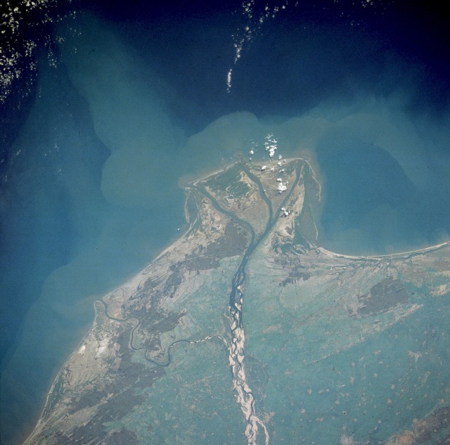
The Kosi or Koshi ( ne, कोशी, , hi, कोसी, ) is a transboundary river which flows through China, Nepal and India. It drains the northern slopes of the Himalayas in Tibet and the southern slopes in Nepal. From a major confluence of tributaries north of the Chatra Gorge onwards, the Kosi River is also known as Saptakoshi ( ne, सप्तकोशी, ) for its seven upper tributaries. These include the Tamor River originating from the Kanchenjunga area in the east and Arun River and Sun Kosi from Tibet. The Sun Koshi's tributaries from east to west are Dudh Koshi, Bhote Koshi, Tamakoshi River, Likhu Khola and Indravati. The Saptakoshi crosses into northern Bihar, India where it branches into distributaries before joining the Ganges near Kursela in Katihar district. The Kosi River is long and drains an area of about in Tibet, Nepal and Bihar.Nayak, J. (1996). ''Sediment management of the Kosi River basin in Nepal''. In: Walling, D. E. and B. W. Webb (eds.) ''Ero ... [...More Info...] [...Related Items...] OR: [Wikipedia] [Google] [Baidu] |
2008 Bihar Floods
8 (eight) is the natural number following 7 and preceding 9. In mathematics 8 is: * a composite number, its proper divisors being , , and . It is twice 4 or four times 2. * a power of two, being 2 (two cubed), and is the first number of the form , being an integer greater than 1. * the first number which is neither prime nor semiprime. * the base of the octal number system, which is mostly used with computers. In octal, one digit represents three bits. In modern computers, a byte is a grouping of eight bits, also called an octet. * a Fibonacci number, being plus . The next Fibonacci number is . 8 is the only positive Fibonacci number, aside from 1, that is a perfect cube. * the only nonzero perfect power that is one less than another perfect power, by Mihăilescu's Theorem. * the order of the smallest non-abelian group all of whose subgroups are normal. * the dimension of the octonions and is the highest possible dimension of a normed division algebra. * the first number ... [...More Info...] [...Related Items...] OR: [Wikipedia] [Google] [Baidu] |
Hyderabad, Andhra Pradesh
Hyderabad ( ; , ) is the capital and largest city of the Indian state of Telangana and the ''de jure'' capital of Andhra Pradesh. It occupies on the Deccan Plateau along the banks of the Musi River, in the northern part of Southern India. With an average altitude of , much of Hyderabad is situated on hilly terrain around artificial lakes, including the Hussain Sagar lake, predating the city's founding, in the north of the city centre. According to the 2011 Census of India, Hyderabad is the fourth-most populous city in India with a population of residents within the city limits, and has a population of residents in the metropolitan region, making it the sixth-most populous metropolitan area in India. With an output of 74 billion, Hyderabad has the fifth-largest urban economy in India. Muhammad Quli Qutb Shah established Hyderabad in 1591 to extend the capital beyond the fortified Golconda. In 1687, the city was annexed by the Mughals. In 1724, Asaf Jah I, the Mug ... [...More Info...] [...Related Items...] OR: [Wikipedia] [Google] [Baidu] |
Krishna District
Krishna district is district in the coastal Andhra Region in Indian state of Andhra Pradesh, with Machilipatnam as its administrative headquarters. It is the coastal district of Andhra Pradesh. Machilipatnam is the most populated city in the district. It is surrounded on the east by Bay of Bengal, west by Guntur and north by Eluru and NTR districts and south again by Bay of Bengal. In 2022 Krishna district was divided into Krishna and NTR districts. Etymology Krishna district, with its district headquarters at Machilipatnam was formerly called Machilipatnam district. Later it was renamed as Krishna district, by adding certain Taluks of the abolished Guntur District in 1859 with Machilipatnam with its head. It was named after the Krishna River, the third longest river in India. The river flows through the state of Andhra Pradesh before it empties itself into Bay of Bengal, near Hamsaladevi village of Krishna district. History This history of this region dates back ... [...More Info...] [...Related Items...] OR: [Wikipedia] [Google] [Baidu] |
Guntur
Guntur () is a city and the administrative headquarters of Guntur district in the Indian state of Andhra Pradesh. Guntur is spread across 168.49 km square and is the third-largest city in the state. It is situated to the west of the Bay of Bengal, on the Eastern Coastal Plains. The city is the heartland of the state, located in the centre of Andhra Pradesh and making it a central part connecting different regions. It serves as a major hub for exports chilli, cotton and tobacco and has the largest chili market yard in Asia. It is a major transportation, education and commercial hub for the state. Guntur city is a municipal corporation and also the headquarters of Guntur East and Guntur West mandals in Guntur revenue division. The city region is a major part of Amaravati Metropolitan Region. census of India the city is the third most populous in the state with a population of 743,354. It is classified as a ''Y-grade'' city as per the Seventh Central Pay Commission. ... [...More Info...] [...Related Items...] OR: [Wikipedia] [Google] [Baidu] |
Traffic
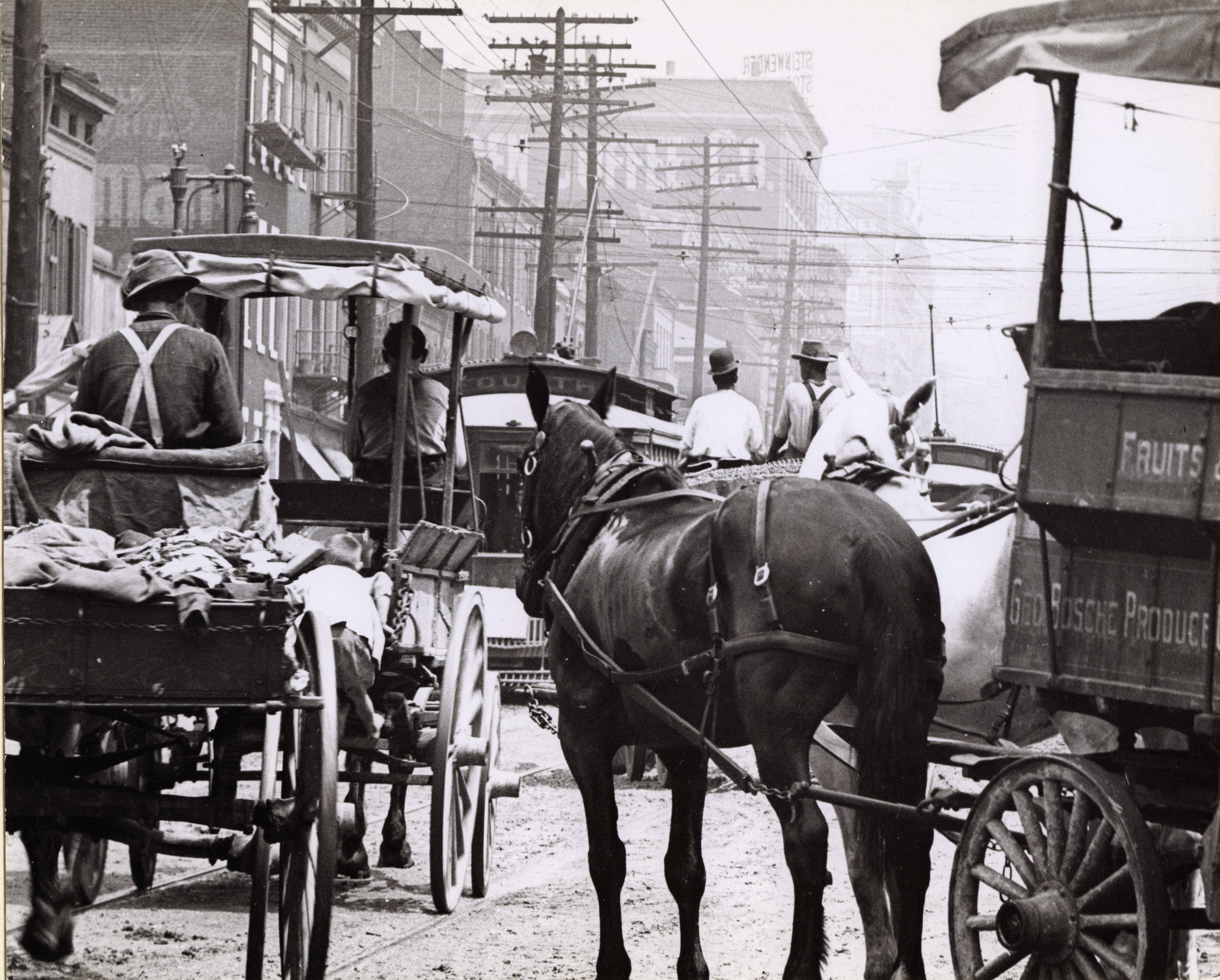
Traffic comprises pedestrians, vehicles, ridden or herded animals, trains, and other conveyances that use public ways (roads) for travel and transportation. Traffic laws govern and regulate traffic, while rules of the road include traffic laws and informal rules that may have developed over time to facilitate the orderly and timely flow of traffic. Organized traffic generally has well-established priorities, lanes, right-of-way, and traffic control at intersections. Traffic is formally organized in many jurisdictions, with marked lanes, junctions, intersections, interchanges, traffic signals, or signs. Traffic is often classified by type: heavy motor vehicle (e.g., car, truck), other vehicle (e.g., moped, bicycle), and pedestrian. Different classes may share speed limits and easement, or may be segregated. Some jurisdictions may have very detailed and complex rules of the road while others rely more on drivers' common sense and willingness to cooperate. Organization ... [...More Info...] [...Related Items...] OR: [Wikipedia] [Google] [Baidu] |


