|
2007 Kent Earthquake
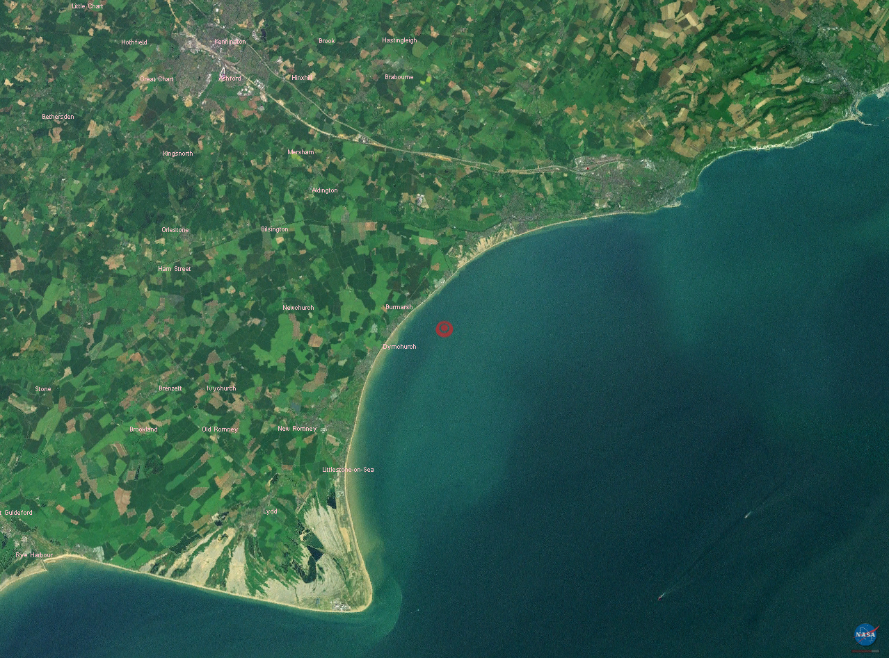
The 2007 Kent earthquake registered 4.3 on the Richter scale and struck south east Kent, South East England on 28 April 2007 at 07:18:12 UTC (08:18:12 local time), at a shallow depth of 5.3 km. The worst affected area was the town of Folkestone, although the towns of Deal, Dover and Ashford were also affected. The tremors could be felt across much of Kent and south east England, including as far as East Sussex, Essex and Suffolk, as well as on the other side of the English Channel at Calais and Brussels. Location The British Geological Survey stated that the epicentre of the earthquake was less than 1 km north of Folkestone at 51.10°N, 1.17°E. The United States Geological Survey indicated that the location of the earthquake was at 51.085°N, 1.009°E suggesting a position approximately 5 km north west of Hythe. Impact The earthquake's shallow depth and proximity to Folkestone resulted in structural damage in the town, and one woman suffered a minor head a ... [...More Info...] [...Related Items...] OR: [Wikipedia] [Google] [Baidu] |
Kent
Kent is a county in South East England and one of the home counties. It borders Greater London to the north-west, Surrey to the west and East Sussex to the south-west, and Essex to the north across the estuary of the River Thames; it faces the French department of Pas-de-Calais across the Strait of Dover. The county town is Maidstone. It is the fifth most populous county in England, the most populous non-Metropolitan county and the most populous of the home counties. Kent was one of the first British territories to be settled by Germanic tribes, most notably the Jutes, following the withdrawal of the Romans. Canterbury Cathedral in Kent, the oldest cathedral in England, has been the seat of the Archbishops of Canterbury since the conversion of England to Christianity that began in the 6th century with Saint Augustine. Rochester Cathedral in Medway is England's second-oldest cathedral. Located between London and the Strait of Dover, which separates England from mainla ... [...More Info...] [...Related Items...] OR: [Wikipedia] [Google] [Baidu] |
United States Geological Survey
The United States Geological Survey (USGS), formerly simply known as the Geological Survey, is a scientific agency of the United States government. The scientists of the USGS study the landscape of the United States, its natural resources, and the natural hazards that threaten it. The organization's work spans the disciplines of biology, geography, geology, and hydrology. The USGS is a fact-finding research organization with no regulatory responsibility. The agency was founded on March 3, 1879. The USGS is a bureau of the United States Department of the Interior; it is that department's sole scientific agency. The USGS employs approximately 8,670 people and is headquartered in Reston, Virginia. The USGS also has major offices near Lakewood, Colorado, at the Denver Federal Center, and Menlo Park, California. The current motto of the USGS, in use since August 1997, is "science for a changing world". The agency's previous slogan, adopted on the occasion of its hundredt ... [...More Info...] [...Related Items...] OR: [Wikipedia] [Google] [Baidu] |
Body Wave Magnitude
Body-waves consist of P-waves that are the first to arrive (see seismogram), or S-waves, or reflections of either. Body-waves travel through rock directly. mB scale The original "body-wave magnitude" – mB or mB (uppercase "B") – was developed by and to overcome the distance and magnitude limitations of the scale inherent in the use of surface waves. is based on the P- and S-waves, measured over a longer period, and does not saturate until around M 8. However, it is not sensitive to events smaller than about M 5.5. Use of as originally defined has been largely abandoned, now replaced by the standardized scale. mb scale The mb or mb scale (lowercase "m" and "b") is similar to , but uses only P-waves measured in the first few seconds on a specific model of short-period seismograph. It was introduced in the 1960s with the establishment of the ''World-Wide Standardized Seismograph Network'' (WWSSN); the short period improves detection of smaller events, and better discri ... [...More Info...] [...Related Items...] OR: [Wikipedia] [Google] [Baidu] |
European-Mediterranean Seismological Centre
The European-Mediterranean Seismological Centre (EMSC; french: Centre Sismologique Euro-Méditerranéen, ) is an international, non-governmental and not-for-profit organisation. The European-Mediterranean region is prone to destructive earthquakes. When an earthquake occurs, a scientific organisation is needed to determine, as quickly as possible, the characteristics of the seismic event. The European-Mediterranean Seismological Centre (EMSC) receives seismological data from more than 65 national seismological agencies, mostly in the Euro-Mediterranean region. The most relevant earthquake parameters, such as the earthquake location and the earthquake magnitude, and the shaking felt by the population are available within one hour from the earthquake onset. History The European-Mediterranean Seismological Centre (EMSC) is a not-for-profit organisation with 84 member institutes from 55 different countries. The centre was established in 1975 under the request of the European Seism ... [...More Info...] [...Related Items...] OR: [Wikipedia] [Google] [Baidu] |
Hampshire
Hampshire (, ; abbreviated to Hants) is a ceremonial county, ceremonial and non-metropolitan county, non-metropolitan counties of England, county in western South East England on the coast of the English Channel. Home to two major English cities on its south coast, Southampton and Portsmouth, Hampshire is the 9th-most populous county in England. The county town of Hampshire is Winchester, located in the north of the county. The county is bordered by Dorset to the south-west, Wiltshire to the north-west, Berkshire to the north, Surrey to the north-east, and West Sussex to the south east. The county is geographically diverse, with upland rising to and mostly south-flowing rivers. There are areas of downland and marsh, and two national parks: the New Forest National Park, New Forest and part of the South Downs National Park, South Downs, which together cover 45 per cent of Hampshire. Settled about 14,000 years ago, Hampshire's recorded history dates to Roman Britain, when its chi ... [...More Info...] [...Related Items...] OR: [Wikipedia] [Google] [Baidu] |
New Milton
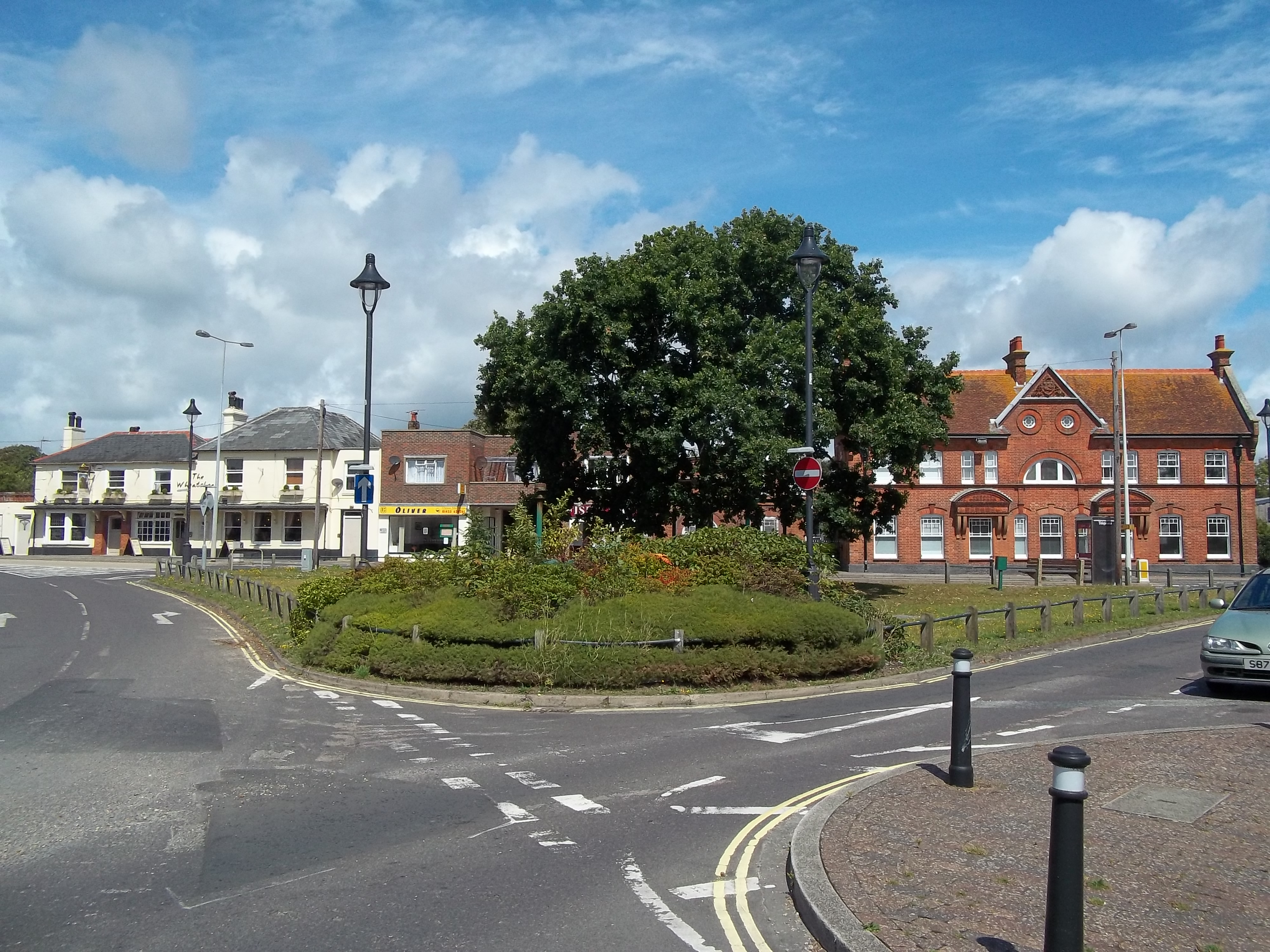
New Milton is a market town in southwest Hampshire, England. To the north is in the New Forest and to the south the coast at Barton-on-Sea. The town is equidistant between Lymington and Christchurch, 6 miles (10 km) away. History New Milton dates back to Anglo-Saxon times, and encompasses Old Milton, Barton on Sea, Ashley, Bashley, and Wootton. It is recorded as having a population of 25,717 in the 2011 census. Milton The manor of ("Mildeltune") is listed in the Domesday Book of 1086 and literally means "Middle farm." It was part of the lands belonging to Hugh de Port, and the estate was held from him by William Chernet.William Page (editor), 1912''A History of the County of Hampshire: Volume 5'' Victoria County History The Chernet family maintained possession of Milton into the 13th century, although lesser families were managing the estate on their behalf. The most important of these were the Chaucombe (or Chalcombe) family, who were probably the first people ... [...More Info...] [...Related Items...] OR: [Wikipedia] [Google] [Baidu] |
Salvation Army
Salvation (from Latin: ''salvatio'', from ''salva'', 'safe, saved') is the state of being saved or protected from harm or a dire situation. In religion and theology, ''salvation'' generally refers to the deliverance of the soul from sin and its consequences."Salvation." ''Oxford English Dictionary'' (2nd ed.). Oxford University Press. 1989. "The saving of the soul; the deliverance from sin and its consequences." The academic study of salvation is called ''soteriology''. Meaning In Abrahamic religions and theology, ''salvation'' is the saving of the soul from sin and its consequences. It may also be called ''deliverance'' or ''redemption'' from sin and its effects. Depending on the religion or even denomination, salvation is considered to be caused either only by the grace of God (i.e. unmerited and unearned), or by faith, good deeds (works), or a combination thereof. Religions often emphasize that man is a sinner by nature and that the penalty of sin is death (physical death, ... [...More Info...] [...Related Items...] OR: [Wikipedia] [Google] [Baidu] |
A2 Road (England)
The A2 is a major road in south-east England, connecting London with the English Channel port of Dover in Kent. This route has always been of importance as a connection between London and sea trade routes to Continental Europe. It was originally known as the Dover Road. The M2 motorway has replaced part of the A2 as the strategic route. Unlike the other single digit A-roads in Great Britain, the A2 does not form a zone boundary. The boundary between Zones 1 and 2 is the River Thames. History of the route The route of the current A2 follows a similar route to that of a Celtic ancient trackway. It was an important route for the Romans linking London with Canterbury and the three Channel ports of Rutupiae (now Richborough), Dubris (now Dover) and Portus Lemanis (in modern Lympne). It had river crossings at Rochester over the River Medway; Dartford (River Darent) and Crayford (River Cray). The Romans paved the road and constructed the first Rochester Bridge across the Medway. Acc ... [...More Info...] [...Related Items...] OR: [Wikipedia] [Google] [Baidu] |
Channel Tunnel
The Channel Tunnel (french: Tunnel sous la Manche), also known as the Chunnel, is a railway tunnel that connects Folkestone (Kent, England, UK) with Coquelles ( Hauts-de-France, France) beneath the English Channel at the Strait of Dover. It is the only fixed link between the island of Great Britain and the European mainland. At its lowest point, it is deep below the sea bed and below sea level. At , it has the longest underwater section of any tunnel in the world, and is the third longest railway tunnel in the world. The speed limit for trains through the tunnel is . The tunnel is owned and operated by the company Getlink, formerly "Groupe Eurotunnel". The tunnel carries high-speed Eurostar passenger trains, the Eurotunnel Shuttle for road vehicles and international freight trains. It connects end-to-end with the high-speed railway lines of the LGV Nord in France and High Speed 1 in England. In 2017, through rail services carried 10.3 million passengers and 1.22 milli ... [...More Info...] [...Related Items...] OR: [Wikipedia] [Google] [Baidu] |
Port Of Dover
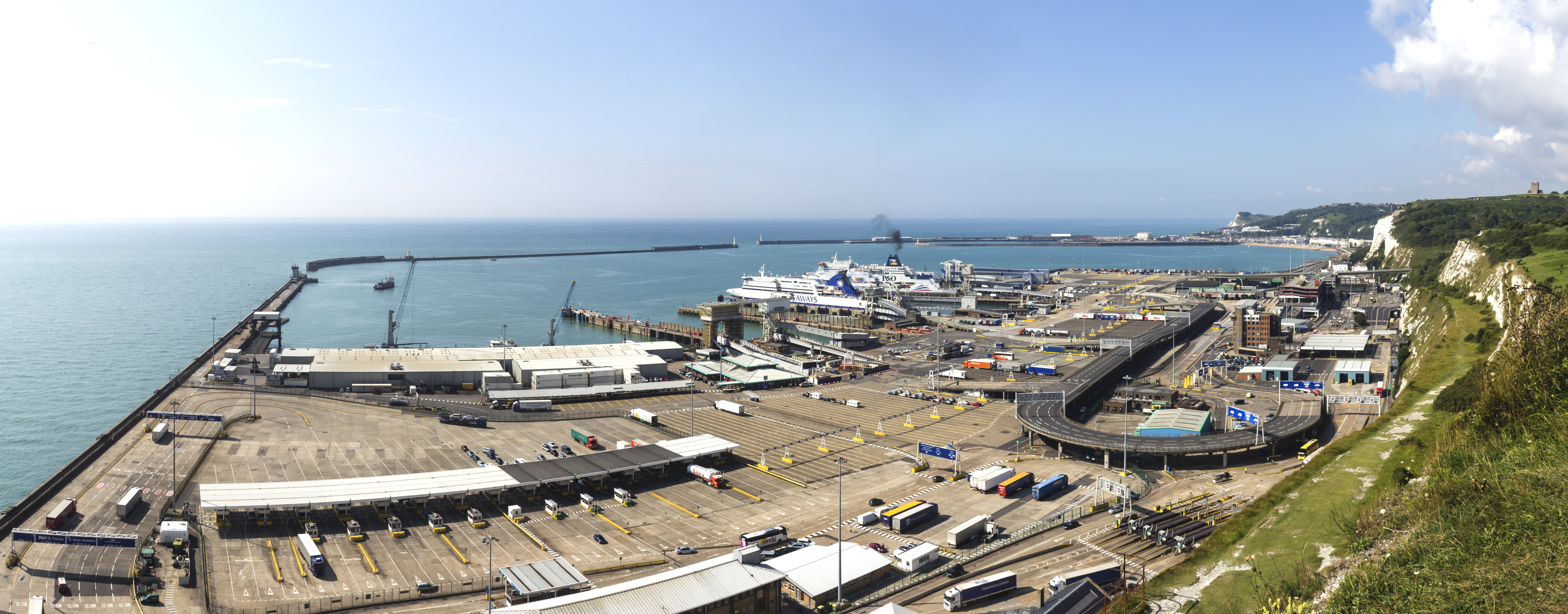
The Port of Dover is a cross-channel ferry, cruise terminal, maritime cargo and marina facility situated in Dover, Kent, south-east England. It is the nearest English port to France, at just away, and is one of the world's busiest maritime passenger ports, with 11.7 million passengers, 2.6 million lorries, 2.2 million cars and motorcycles and 80,000 coaches passing through it in 2017, and with an annual turnover of £58.5 million a year. This contrasts with the nearby Channel Tunnel, the only fixed link between the island of Great Britain and the European mainland, which now handles an estimated 20 million passengers and 1.6 million trucks per year. The modern port facility features a large artificial harbour constructed behind stone piers and a defensive concrete breakwater. The port is divided into two main sections: the Eastern Docks serve as the main cross-channel ferry terminal, while the Western Docks contain a cruise ship terminal and a yacht marina along with cargo fac ... [...More Info...] [...Related Items...] OR: [Wikipedia] [Google] [Baidu] |
Harvey Grammar School
The Harvey Grammar School is located in Folkestone, Kent, England. It is a grammar school with academy status founded by the family of William Harvey in 1674. Admissions A selective school for boys only, the school has around 900 on its roll. Although officially known as the Harvey Grammar School, it is called The Harvey by many locals or abbreviated to HGS, as its partner school the Folkestone School for Girls is known "FSG". The school is situated on the A2034 (once the A20) at the junction of the B2064 and near the Folkestone West railway station, Folkestone Cricket Club, Folkestone Optimists Hockey Club at the Three Hills Sports Park and Folkestone Invicta F.C. It is easily accessed from the last junction of the M20 motorway. History The grammar school was established in 1674, following the death of William Harvey, the eminent physician and discoverer of the major details of blood circulation. A small class with one schoolmaster was first created, until Eliab Harvey, W ... [...More Info...] [...Related Items...] OR: [Wikipedia] [Google] [Baidu] |


