|
2006 North Indian Ocean Cyclone Season
The 2006 North Indian Ocean cyclone season had no bounds, but cyclones tend to form between April and December, with peaks in May and November. These dates conventionally delimit the period of each year when most tropical cyclones form in the northern Indian Ocean. The scope of this basin is north of the Equator and west of the Malay Peninsula. The IMD and JTWC monitor this basin. This basin is divided in two seas by India, the Bay of Bengal and Arabian Sea, abbreviated ''BOB'' and ''ARB'', respectively. Although an inactive year, 2006 had more of note than previous years like 2005 or 2004. Cyclone Mala caused severe damage and killed 22 when it hit Burma as a cat. 3. An unnamed depression killed over 100 in India, and cyclonic storm Ogni caused minor effects in India as well. Additionally, the remnants of Typhoon Durian crossed the Malay Peninsula causing minor effects, but was a rare basin-crosser in this area. __TOC__ Season summary ImageSize = width:850 height:200 PlotA ... [...More Info...] [...Related Items...] OR: [Wikipedia] [Google] [Baidu] |
Cyclone Mala
Extremely Severe Cyclonic Storm Mala was the strongest tropical cyclone of the 2006 North Indian Ocean cyclone season. In mid-April 2006, an area of disturbed weather formed over the southern Bay of Bengal and nearby Andaman Sea. Over a period of several days, the system became increasingly organized and was classified as a depression on April 24. Situated within a region of weak steering currents, the storm slowly intensified as it drifted in a general northward direction. It attained gale-force winds and was Tropical cyclone naming, named ''Mala'' the next day. Conditions for strengthening improved markedly on April 27 and Mala subsequently underwent rapid intensification which culminated in the cyclone attaining its peak. Early on April 28, the cyclone had estimated winds of . The Joint Typhoon Warning Center considered Mala to have been slightly stronger, classifying it as a Category 4 hurricane, Category 4-equivalent cyclone. Steady weakening ensued thereaf ... [...More Info...] [...Related Items...] OR: [Wikipedia] [Google] [Baidu] |
Mumbai
Mumbai (, ; also known as Bombay — the official name until 1995) is the capital city of the Indian state of Maharashtra and the ''de facto'' financial centre of India. According to the United Nations, as of 2018, Mumbai is the second-most populous city in India after Delhi and the eighth-most populous city in the world with a population of roughly 20 million (2 crore). As per the Indian government population census of 2011, Mumbai was the most populous city in India with an estimated city proper population of 12.5 million (1.25 crore) living under the Brihanmumbai Municipal Corporation. Mumbai is the centre of the Mumbai Metropolitan Region, the sixth most populous metropolitan area in the world with a population of over 23 million (2.3 crore). Mumbai lies on the Konkan coast on the west coast of India and has a deep natural harbour. In 2008, Mumbai was named an alpha world city. It has the highest number of millionaires and billionaires among all cities i ... [...More Info...] [...Related Items...] OR: [Wikipedia] [Google] [Baidu] |
Rapid Intensification
In meteorology, rapid intensification is a situation where a tropical cyclone intensifies dramatically in a short period of time. The United States National Hurricane Center defines rapid intensification as an increase in the maximum sustained winds of a tropical cyclone of at least in a 24-hour period. Necessary conditions External In order for rapid intensification to occur, several conditions must be in place. Water temperatures must be extremely warm (near or above ), and water of this temperature must be sufficiently deep such that waves do not churn deeper cooler waters up to the surface. Wind shear must be low; when wind shear is high, the convection and circulation in the cyclone will be disrupted. Dry air can also limit the strengthening of tropical cyclones. Internal Usually, an anticyclone in the upper layers of the troposphere above the storm must also be present for extremely low surface pressures to develop. This is because air must be converging towards the low ... [...More Info...] [...Related Items...] OR: [Wikipedia] [Google] [Baidu] |
Tropical Cyclone Naming
Tropical cyclones and subtropical cyclones are named by various warning centers to simplify communication between forecasters and the general public regarding forecasts, watches and warnings. The names are intended to reduce confusion in the event of concurrent storms in the same basin. Once storms develop sustained wind speeds of more than , names are generally assigned to them from predetermined lists, depending on the basin in which they originate. Some tropical depressions are named in the Western Pacific; while tropical cyclones must contain a significant amount of gale-force winds before they are named in the Southern Hemisphere. Before it became standard practice to give personal (first) names to tropical cyclones, they were named after places, objects, or the saints' feast days on which they occurred. Credit for the first usage of personal names for weather systems is generally given to Queensland Government Meteorologist Clement Wragge, who named systems between 18 ... [...More Info...] [...Related Items...] OR: [Wikipedia] [Google] [Baidu] |
Coordinated Universal Time
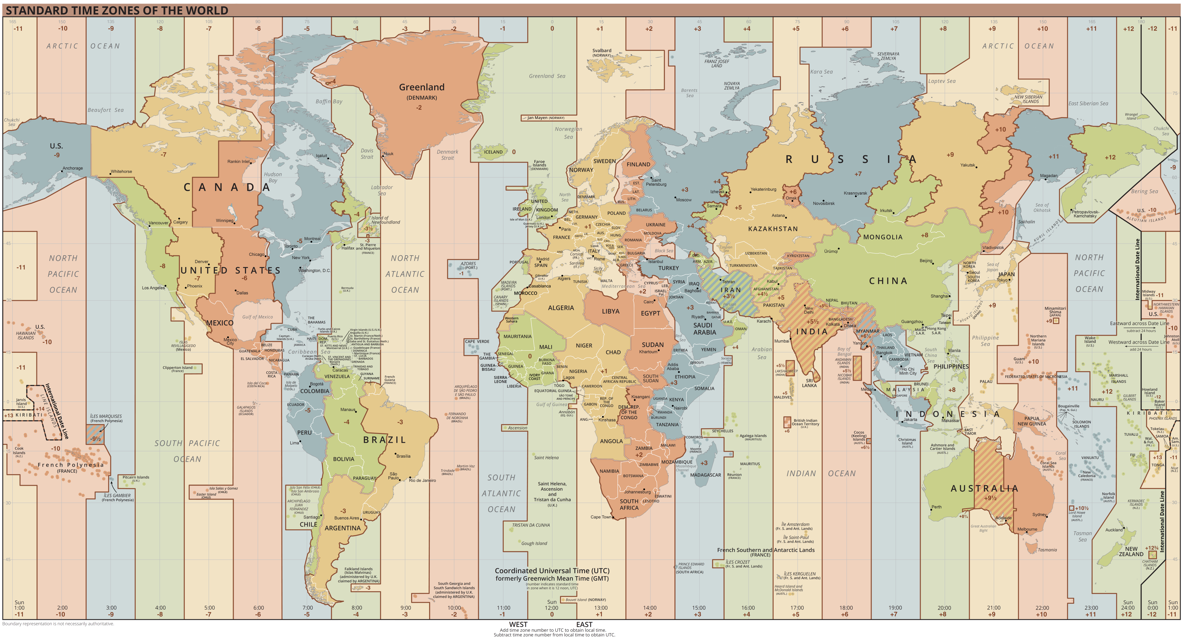
Coordinated Universal Time or UTC is the primary time standard by which the world regulates clocks and time. It is within about one second of mean solar time (such as UT1) at 0° longitude (at the IERS Reference Meridian as the currently used prime meridian) and is not adjusted for daylight saving time. It is effectively a successor to Greenwich Mean Time (GMT). The coordination of time and frequency transmissions around the world began on 1 January 1960. UTC was first officially adopted as CCIR Recommendation 374, ''Standard-Frequency and Time-Signal Emissions'', in 1963, but the official abbreviation of UTC and the official English name of Coordinated Universal Time (along with the French equivalent) were not adopted until 1967. The system has been adjusted several times, including a brief period during which the time-coordination radio signals broadcast both UTC and "Stepped Atomic Time (SAT)" before a new UTC was adopted in 1970 and implemented in 1972. This change also a ... [...More Info...] [...Related Items...] OR: [Wikipedia] [Google] [Baidu] |
Outflow (meteorology)
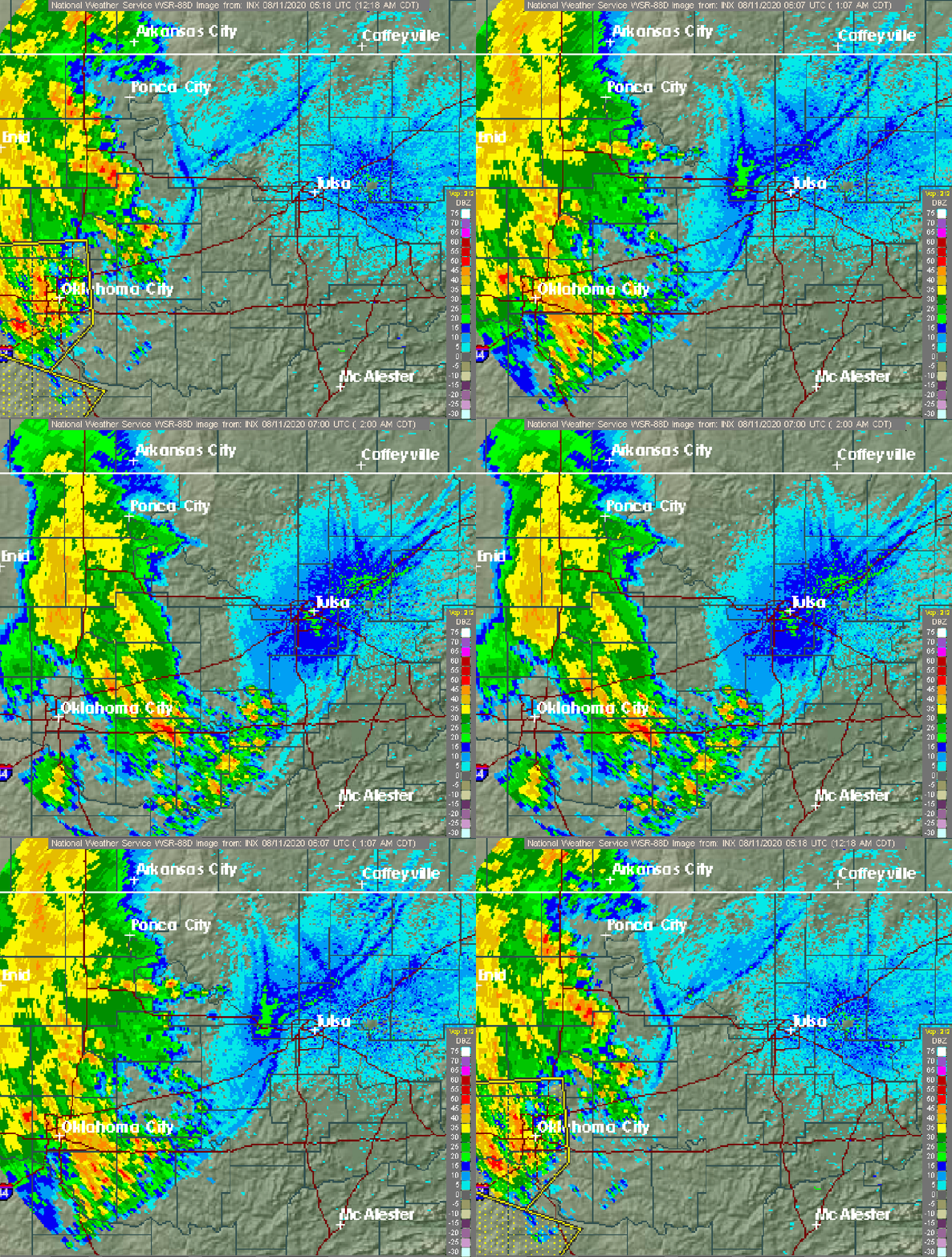
Outflow, in meteorology, is air that flows outwards from a storm system. It is associated with ridging, or anticyclonic flow. In the low levels of the troposphere, outflow radiates from thunderstorms in the form of a wedge of rain-cooled air, which is visible as a thin rope-like cloud on weather satellite imagery or a fine line on weather radar imagery. For observers on the ground, a thunderstorm outflow boundary often approaches in otherwise clear skies as a low, thick cloud that brings with it a gust front. Low-level outflow boundaries can disrupt the center of small tropical cyclones. However, outflow aloft is essential for the strengthening of a tropical cyclone. If this outflow is restricted or undercut, the tropical cyclone weakens. If two tropical cyclones are in close proximity, the upper-level outflow from the upwind system can limit the development of the other system. Thunderstorms For thunderstorms, outflow tends to indicate the development of a system. Large quan ... [...More Info...] [...Related Items...] OR: [Wikipedia] [Google] [Baidu] |
Wind Shear
Wind shear (or windshear), sometimes referred to as wind gradient, is a difference in wind speed and/or direction over a relatively short distance in the atmosphere. Atmospheric wind shear is normally described as either vertical or horizontal wind shear. Vertical wind shear is a change in wind speed or direction with a change in altitude. Horizontal wind shear is a change in wind speed with a change in lateral position for a given altitude. Wind shear is a microscale meteorological phenomenon occurring over a very small distance, but it can be associated with mesoscale or synoptic scale weather features such as squall lines and cold fronts. It is commonly observed near microbursts and downbursts caused by thunderstorms, fronts, areas of locally higher low-level winds referred to as low-level jets, near mountains, radiation inversions that occur due to clear skies and calm winds, buildings, wind turbines, and sailboats. Wind shear has significant effects on the control of a ... [...More Info...] [...Related Items...] OR: [Wikipedia] [Google] [Baidu] |
Convection (meteorology)
Atmospheric convection is the result of a parcel-environment instability, or temperature difference layer in the atmosphere. Different lapse rates within dry and moist air masses lead to instability. Mixing of air during the day which expands the height of the planetary boundary layer leads to increased winds, cumulus cloud development, and decreased surface dew points. Moist convection leads to thunderstorm development, which is often responsible for severe weather throughout the world. Special threats from thunderstorms include hail, downbursts, and tornadoes. Overview There are a few general archetypes of atmospheric instability that are used to explain convection (or lack thereof). A necessary (but not sufficient) condition for convection is that the environmental lapse rate (the rate of decrease of temperature with height) is steeper than the lapse rate experienced by a rising parcel of air. When this condition is met, upward-displaced air parcels can become buoyant an ... [...More Info...] [...Related Items...] OR: [Wikipedia] [Google] [Baidu] |
Drought
A drought is defined as drier than normal conditions.Douville, H., K. Raghavan, J. Renwick, R.P. Allan, P.A. Arias, M. Barlow, R. Cerezo-Mota, A. Cherchi, T.Y. Gan, J. Gergis, D. Jiang, A. Khan, W. Pokam Mba, D. Rosenfeld, J. Tierney, and O. Zolina, 2021Water Cycle Changes In Climate Change 2021: The Physical Science Basis. Contribution of Working Group I to the Sixth Assessment Report of the Intergovernmental Panel on Climate Change [Masson-Delmotte, V., P. Zhai, A. Pirani, S.L. Connors, C. Péan, S. Berger, N. Caud, Y. Chen, L. Goldfarb, M.I. Gomis, M. Huang, K. Leitzell, E. Lonnoy, J.B.R. Matthews, T.K. Maycock, T. Waterfield, O. Yelekçi, R. Yu, and B. Zhou (eds.)]. Cambridge University Press, Cambridge, United Kingdom and New York, NY, USA, pp. 1055–1210, doi:10.1017/9781009157896.010. This means that a drought is "a moisture deficit relative to the average water availability at a given location and season". A drought can last for days, months or years. Drought ... [...More Info...] [...Related Items...] OR: [Wikipedia] [Google] [Baidu] |
Haryana
Haryana (; ) is an Indian state located in the northern part of the country. It was carved out of the former state of East Punjab on 1 Nov 1966 on a linguistic basis. It is ranked 21st in terms of area, with less than 1.4% () of India's land area. The state capital is Chandigarh, which it shares with the neighboring state of Punjab, and the most populous city is Faridabad, which is a part of the National Capital Region (India), National Capital Region. The city of Gurugram is among India's largest financial and technology hubs. Haryana has 6 Divisions of Haryana, administrative divisions, 22 List of districts of Haryana, districts, 72 sub-divisions, 93 tehsil, revenue tehsils, 50 sub-tehsils, 140 Community development block in India, community development blocks, 154 List of cities in Haryana by population, cities and towns, 7,356 villages, and 6,222 Gram panchayat, villages panchayats. Haryana contains 32 special economic zones (SEZs), mainly located within the industrial corri ... [...More Info...] [...Related Items...] OR: [Wikipedia] [Google] [Baidu] |
Uttar Pradesh
Uttar Pradesh (; , 'Northern Province') is a state in northern India. With over 200 million inhabitants, it is the most populated state in India as well as the most populous country subdivision in the world. It was established in 1950 after India had become a republic. It was a successor to the United Provinces (UP) during the period of the Dominion of India (1947–1950), which in turn was a successor to the United Provinces (UP) established in 1935, and eventually of the United Provinces of Agra and Oudh established in 1902 during the British Raj. The state is divided into 18 divisions and 75 districts, with the state capital being Lucknow, and Prayagraj serving as the judicial capital. On 9 November 2000, a new state, Uttaranchal (now Uttarakhand), was created from Uttar Pradesh's western Himalayan hill region. The two major rivers of the state, the Ganges and its tributary Yamuna, meet at the Triveni Sangam in Prayagraj, a Hindu pilgrimage site. Ot ... [...More Info...] [...Related Items...] OR: [Wikipedia] [Google] [Baidu] |
Meghalaya
Meghalaya (, or , meaning "abode of clouds"; from Sanskrit , "cloud" + , "abode") is a states and union territories of India, state in northeastern India. Meghalaya was formed on 21 January 1972 by carving out two districts from the state of Assam: (a) the United Khasi Hills and Jaintia Hills and (b) the Garo Hills.History of Meghalaya State Government of India Meghalaya was previously part of Assam, but on 21 January 1972, the districts of Khasi, Garo and Jaintia Hills became the new state of Meghalaya. The population of Meghalaya as of 2014 is estimated to be 3,211,474. Meghalaya covers an area of approximately 22,430 square kilometres, with a length-to-breadth ratio of about 3:1.Meghal ... [...More Info...] [...Related Items...] OR: [Wikipedia] [Google] [Baidu] |


