|
2009 Pacific Typhoon Season
The 2009 Pacific typhoon season was a below average season that spawned only 22 named storms, 13 typhoons, and five super typhoons. Despite this, it was a very deadly season, with the Philippines having experienced its deadliest season in decades due to the impact of typhoons Typhoon Ketsana, Ketsana and Typhoon Parma, Parma, while typhoon Typhoon Morakot, Morakot went on to become the deadliest storm to impact Taiwan in its modern history. The first half of the season was very quiet, whereas the second half of the season was extremely active. The season ran throughout 2009, though most tropical cyclone tend to develop between May and November. The season's first named storm, Typhoon Kujira (2009), Kujira, developed on May 3, while the season's last named storm, Typhoon Nida (2009), Nida, dissipated on December 3. During August, Typhoon Morakot devastated Taiwan, killing nearly 800 people and being known for being the deadliest typhoon to impact the country. Typhoons Ketsana and ... [...More Info...] [...Related Items...] OR: [Wikipedia] [Google] [Baidu] |
Maximum Sustained Wind
The maximum sustained wind associated with a tropical cyclone is a common indicator of the intensity of the storm. Within a mature tropical cyclone, it is found within the eyewall at a certain distance from the center, known as the radius of maximum wind, or RMW. Unlike gusts, the value of these winds are determined via their sampling and averaging the sampled results over a period of time. Wind measuring has been standardized globally to reflect the winds at above mean sea level, and the maximum sustained wind represents the highest average wind over either a one-minute (US) or ten-minute time span (see the definition, below), anywhere within the tropical cyclone. Surface winds are highly variable due to friction between the atmosphere and the Earth's surface, as well as near hills and mountains over land. Over the ocean, satellite imagery is often used to estimate the maximum sustained winds within a tropical cyclone. Land, ship, aircraft reconnaissance observations, an ... [...More Info...] [...Related Items...] OR: [Wikipedia] [Google] [Baidu] |
Tropical Storm Mujigae (2009)
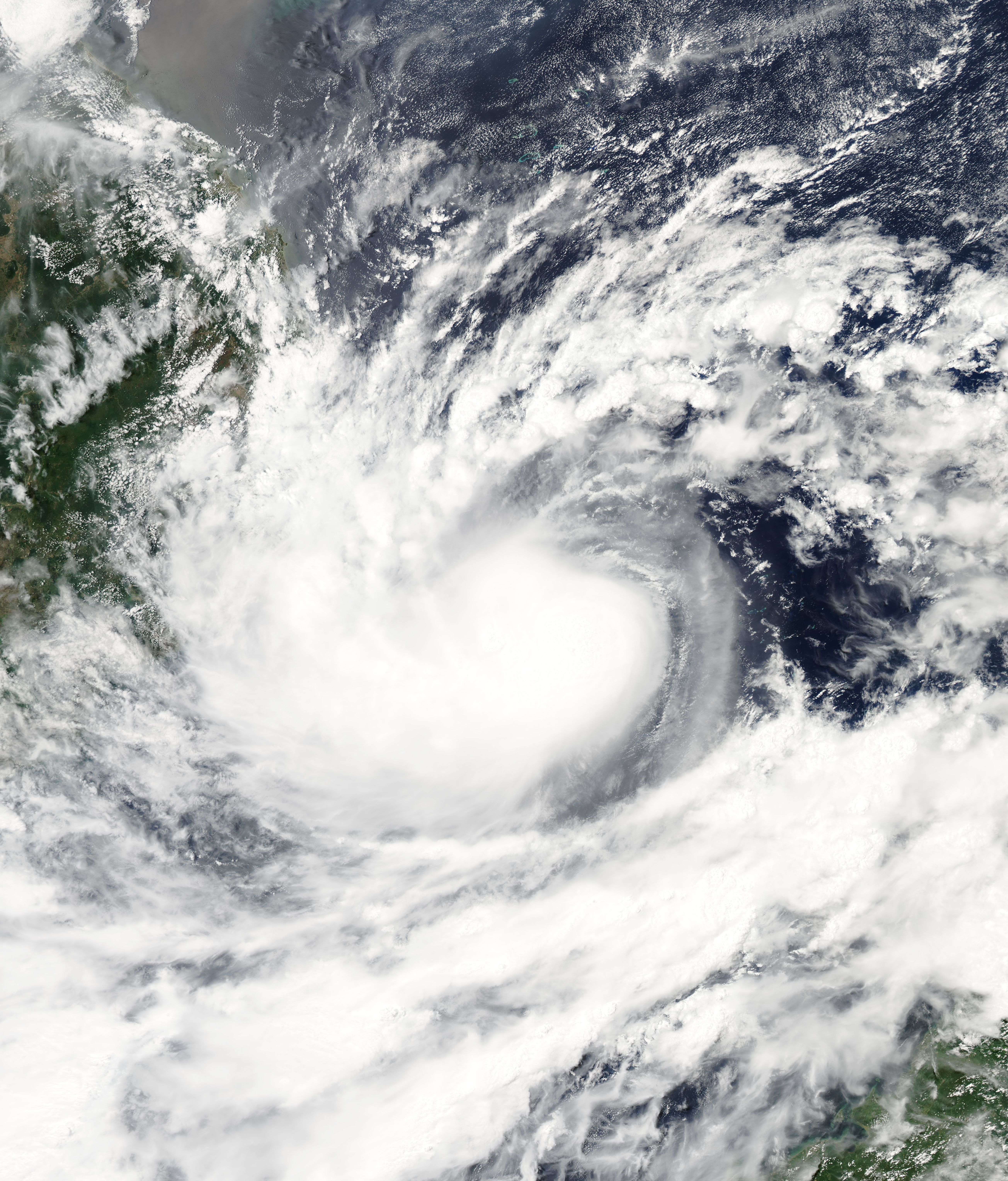
Tropical Storm Mujigae, known in the Philippines as Tropical Depression Maring was a tropical storm that affected the Philippines, China, Hong Kong, and Vietnam in early September 2009. Mujigae originated from an area of convection that developed along with a monsoon trough with favorable conditions on 8 September. The disturbance organized to a tropical depression and was assigned the names ''14W'' by the Joint Typhoon Warning Center and ''Maring'' by PAGASA later that day. Tropical Depression 14W would rapidly develop and attain tropical storm status by the JMA and be assigned the name ''Mujigae'' on 10 September. Mujigae soon encountered unfavorable conditions with wind shear and make landfall in Hainan Island on 11 September and Vietnam on 12 September before rapidly weakening and dissipating. Meteorological history Early on 8 September 2009, the Joint Typhoon Warning Center reported that an area of convection had persisted about northwest of Manila in the Philippines. The ... [...More Info...] [...Related Items...] OR: [Wikipedia] [Google] [Baidu] |
September 2009 Vietnam Tropical Depression
The September 2009 Vietnam tropical depression was a weak tropical depression that caused deadly flooding throughout central Vietnam in early September. Forming out of an area of low pressure on September 3, the depression hardly intensified as it meandered off the coast of Vietnam. Initially situated in a favorable environment, convective banding features began to develop and shower and thunderstorm activity formed near the center. On September 4, the Joint Typhoon Warning Center issued a Tropical Cyclone Formation Alert; however, a sudden increase in wind shear caused the system to rapidly become disorganized, leading to the cancellation of the alert the next day. The system continued to slowly track off the coast of Vietnam, nearly dissipating on September 5, before becoming better organized. However, the depression remained weak, with the JTWC reporting on September 7 that the depression had dissipated, though the Japan Meteorological Agency (JMA) continued to is ... [...More Info...] [...Related Items...] OR: [Wikipedia] [Google] [Baidu] |
Tropical Storm Etau (2009)
Tropical Storm Etau was the deadliest tropical cyclone to impact Japan since Typhoon Tokage in 2004. Forming on August 8, 2009 from an area of low pressure, the system gradually intensified into a tropical storm. Tracking in a curved path around the edge of a subtropical ridge, Etau continued to intensify as it neared Japan. By August 10, the cyclone reached its peak intensity as a weak tropical storm with winds of 75 km/h (45 mph 10-minute sustained) and a barometric pressure of 992 hPa (mbar). Shortly after, Etau began to weaken. Increasing wind shear led to the center becoming devoid of convection and the system eventually weakened to a tropical depression on August 13. The remnants of Etau persisted for nearly three days before dissipating early on August 16. Although Etau did not make landfall, the outer bands of the storm produced torrential rainfall in Japan, peaking at . These rains triggered deadly flooding and mudslides, especially in ... [...More Info...] [...Related Items...] OR: [Wikipedia] [Google] [Baidu] |
Tropical Storm Soudelor (2009)
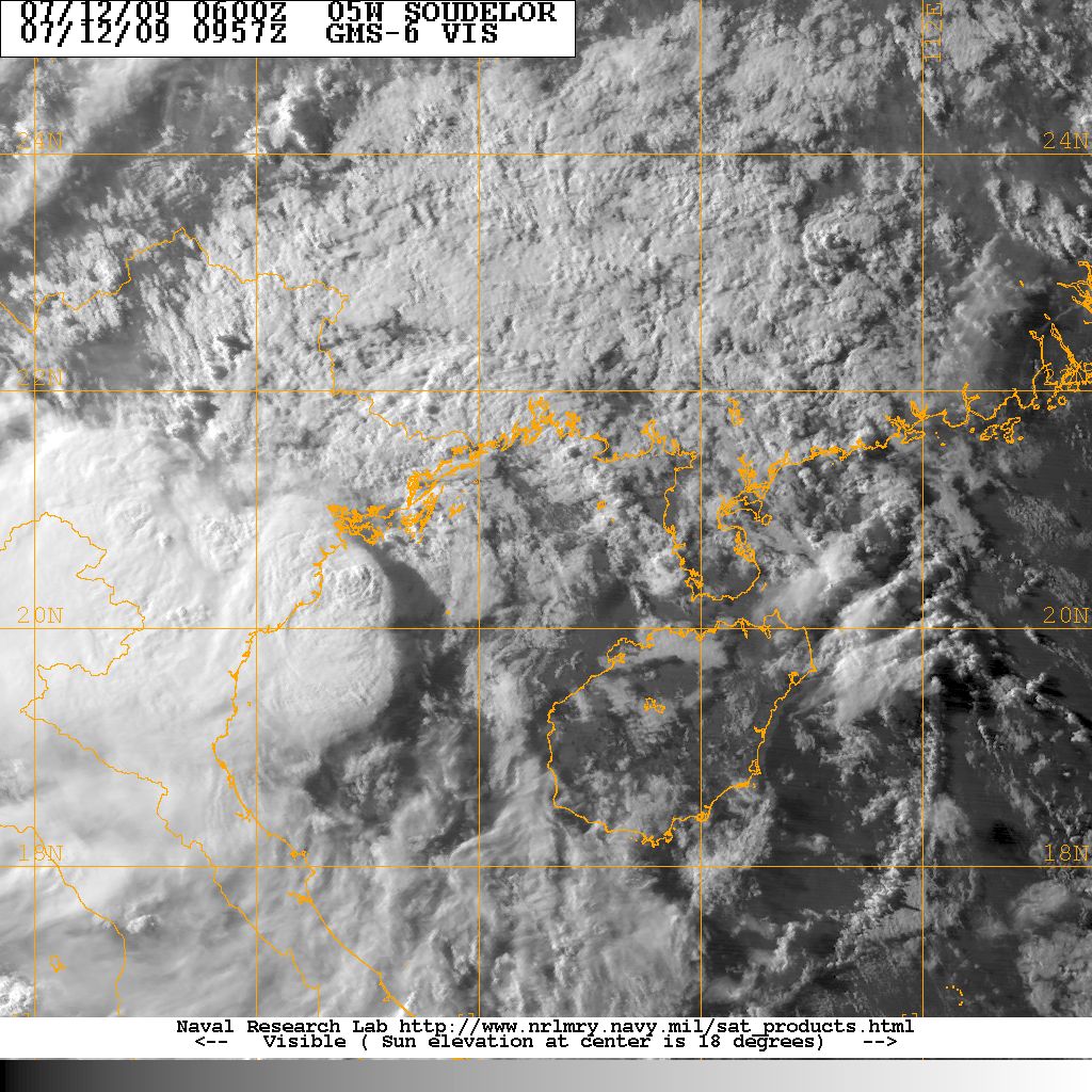
Tropical Storm Soudelor, known in the Philippines as Tropical Depression Gorio, was a weak tropical cyclone that led to deadly flooding in the Philippines, China and Vietnam in mid July 2009. Forming out of an area of low pressure on July 9, Soudelor failed to maintain deep convection around its center for the duration of its existence. On July 10, the depression brushed the northern Philippines and intensified into a tropical storm on July 11. Later that day, the storm crossed the Leizhou Peninsula. The last public advisory from the JMA was issued the following day after Soudelor made landfall in southern China. In the Philippines, Soudelor produced severe flooding that killed one person and resulted in the issuance of a state of calamity. The storm later killed 15 people in southern China after a group of hikers were washed away in a flash flood on Hainan Island. In Vietnam, rainfall up to caused widespread flooding, and lightning triggered by the storm killed t ... [...More Info...] [...Related Items...] OR: [Wikipedia] [Google] [Baidu] |
Tropical Storm Linfa (2009)
Severe Tropical Storm Linfa was the second Tropical cyclone#Naming, named storm to develop in the South China Sea during the 2009 Pacific typhoon season. It is the seventh depression and third typhoon of the season. Forming out of an Low pressure area, area of low pressure on June 14, the storm briefly attained tropical depression status before degenerating. By June 17 the system regenerated in the South China Sea. Slowly tracking northward, the storm intensified, attaining severe tropical storm status on June 19 and peaking in intensity the following day. On June 21, Linfa made landfall in Fujian Province, China as a tropical storm before weakening to a tropical depression. In Taiwan, outer bands of the storm produced significant amounts of rain over southeastern areas of the island. Along the western coast, rip currents resulted in the drowning of one person. Six hikers also were reported to be missing. In China, torrential rains triggered flooding that destro ... [...More Info...] [...Related Items...] OR: [Wikipedia] [Google] [Baidu] |
Typhoon Chan-hom (2009)
Typhoon Chan-hom, known in the Philippines as Typhoon Emong, was an erratic tropical cyclone that hit the Philippines in early May 2009. The sixth tropical depression and the second tropical storm to develop during the 2009 Pacific typhoon season, Chan-hom developed out of an area of convectional cloudiness associated with an area of disturbed weather which originated from the remnants of Tropical Depression Crising and formed southeast of Nha Trang, Vietnam on May 2. Moving towards the northeast, it slowly organized according to JTWC who issued a TCFA, and JMA classified Chan-hom as a minor tropical depression later that day. The next day, both JTWC and JMA upgraded the depression to a tropical storm and named it Chan-hom. On May 6, the storm intensified into a Category 1 typhoon, and on May 7, Chan-hom intensified into a Category 2 typhoon equivalent. However, Chan-hom weakened into a severe tropical storm after passing northern Luzon. On May 14, Chan-hom regenerated into a trop ... [...More Info...] [...Related Items...] OR: [Wikipedia] [Google] [Baidu] |
Tropical Depression Auring (2009)
Tropical Depression Auring was a weak tropical cyclone that caused floods in the Philippines in early January 2009. It formed as a tropical disturbance late on December 30, 2008, to the southeast of Manila in the Philippines, and gradually developed over the next few days. Early on January 3, 2009, the Philippine Atmospheric, Geophysical and Astronomical Services Administration (PAGASA) and the Japan Meteorological Agency (JMA) reported that the disturbance had intensified into the first tropical depression of the season, with PAGASA assigning the name Auring to the depression. As the Depression was moving into a high level of vertical wind shear, it did not develop any further and late on January 5 as the baroclinic zone approached Auring, it was downgraded to an area of low pressure by the PAGASA before the JMA followed suit the next day as it was declared as dissipated by the JTWC. Heavy rain from Auring produced severe flooding in the eastern Philippines. Two people were killed ... [...More Info...] [...Related Items...] OR: [Wikipedia] [Google] [Baidu] |
Hong Kong Observatory
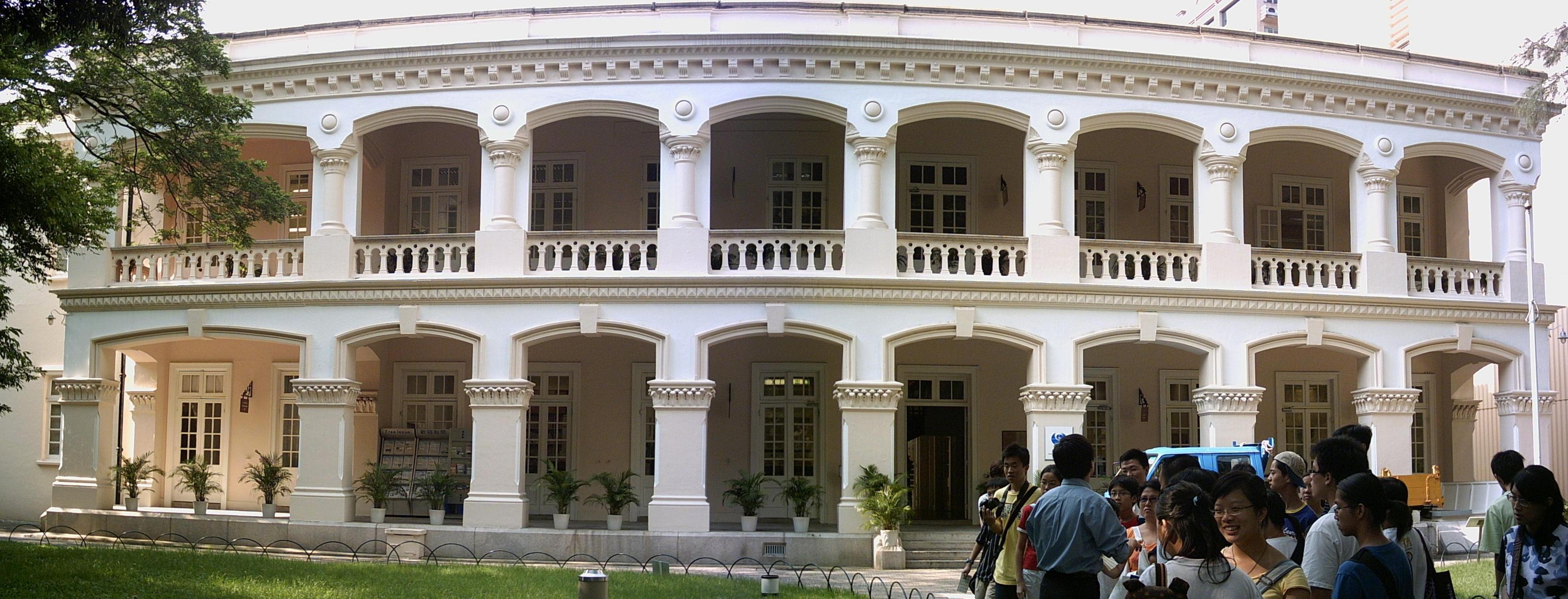
The Hong Kong Observatory is a weather forecast agency of the government of Hong Kong. The Observatory forecasts the weather and issues warnings on weather-related hazards. It also monitors and makes assessments on radiation levels in Hong Kong and provides other meteorological and geophysical services to meet the needs of the public and the shipping, aviation, industrial and engineering sectors. Overview The Observatory was established on 2 March 1883 as the Hong Kong Observatory by Sir George Bowen, the 9th Governor of Hong Kong, with (1852–1941) as its first director. Early operations included meteorological and magnetic observations, a time service based on astronomical observations and a tropical cyclone warning service. The Observatory was renamed the Royal Observatory Hong Kong () after obtaining a Royal Charter in 1912. The Observatory adopted the current name and emblem in 1997 after the transfer of Hong Kong's sovereignty from the UK to China. The Hong K ... [...More Info...] [...Related Items...] OR: [Wikipedia] [Google] [Baidu] |
Central Weather Bureau
The Central Weather Administration (CWA; ) is the government meteorological research and forecasting institution of Taiwan (the Republic of China). In addition to meteorology, the Central Weather Administration also makes astronomical observations, reports on sea conditions, and conducts research into seismology and provides earthquake reports. The Central Weather Administration is headquartered in Taipei City and is administered under the Ministry of Transportation and Communications. History While Taiwan was under Japanese rule, the government set up five weather monitoring stations on the island, located in Taipei, Taichung, Tainan, Hengchun, and Penghu. On 19 December 1897, the Taipei Observatory moved to the location presently occupied by the Central Weather Administration. In 1945 when the Kuomintang took control of Taiwan the various stations set up by the Japanese were incorporated into the new Taiwan Provincial Weather Institution, under the Chief Executive of Taiwan Pr ... [...More Info...] [...Related Items...] OR: [Wikipedia] [Google] [Baidu] |
City University Of Hong Kong
The City University of Hong Kong (CityUHK) is a public research university in Kowloon Tong, Kowloon, Hong Kong. It was founded in 1984 as the City Polytechnic of Hong Kong and formally established as the City University of Hong Kong in 1994. The university currently has nine main schools offering courses in business, science, engineering, liberal arts and social sciences, law, and veterinary medicine, along with the Chow Yei Ching School of Graduate Studies, CityU Shenzhen Research Institute, and Hong Kong Institute for Advanced Study. History City University's origins lie in the calls for a "second polytechnic" in the years following the 1972 establishment of the Hong Kong Polytechnic. In 1982, Executive Council member Chung Sze-yuen spoke of a general consensus that "a second polytechnic of similar size to the first should be built as soon as possible." District administrators from Tuen Mun and Tsuen Wan lobbied the government to build the new institution in their ... [...More Info...] [...Related Items...] OR: [Wikipedia] [Google] [Baidu] |


