|
1998–99 South-West Indian Ocean Cyclone Season
The 1998–99 South-West Indian Ocean cyclone season was a quiet season that had the fourth-lowest number of days with tropical storm or Tropical cyclone scales#South-West Indian Ocean, tropical cyclone activity. Most of the storms formed either in the Mozambique Channel or in the far eastern portion of the basin, with five storms crossing from the adjacent 1998–99 Australian region cyclone season, Australian basin east of 90° Longitude, E. As a result, few storms impacted Madagascar, and none made landfall on the African continent. Throughout most of the season, there was below-normal sea surface temperatures in the Indian Ocean east of Madagascar. In February, typically the peak in activity, Réunion island recorded its highest average monthly pressure since 1953. Due to generally unfavorable conditions, there were only six tropical storms tracked by the Météo-France office (MFR) on Réunion. There were only two tropical cyclones – a storm with winds of at least . Ac ... [...More Info...] [...Related Items...] OR: [Wikipedia] [Google] [Baidu] |
1996–97 South-West Indian Ocean Cyclone Season
The 1996–97 South-West Indian Ocean cyclone season was the longest on record, with both an unusually early start and unusually late ending. Most activity was from November through February. According to the Météo-France office (MFR) at Réunion, there were 21 tropical disturbances, 14 of which intensified into tropical depressions. There were 12 named storms, beginning with Antoinette and proceeding sequentially until Lisette. In addition, the Joint Typhoon Warning Center also warned on storms in the region, which identified five other tropical storms. Five of the storms attained tropical cyclone status, or with 10–minute maximum sustained winds of at least ; of these, three strengthened further into intense tropical cyclones, with Daniella and Helinda tied for strongest storm of the season. In August, a tropical depression developed in the south-west Indian Ocean for the first time 27 years, and a month later, a rare September tropical disturbance formed. The f ... [...More Info...] [...Related Items...] OR: [Wikipedia] [Google] [Baidu] |
Dvorak Technique
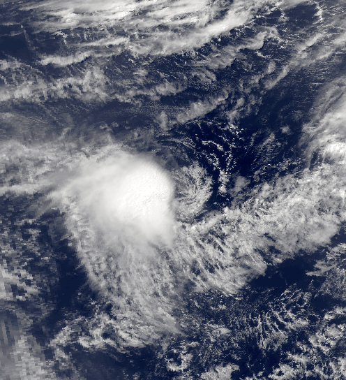
The Dvorak technique (developed between 1969 and 1984 by Vernon Dvorak) is a widely used system to estimate tropical cyclone intensity (which includes tropical depression, tropical storm, and hurricane/typhoon/intense tropical cyclone intensities) based solely on visible and infrared satellite images. Within the Dvorak satellite strength estimate for tropical cyclones, there are several visual patterns that a cyclone may take on which define the upper and lower bounds on its intensity. The primary patterns used are curved band pattern (T1.0-T4.5), shear pattern (T1.5–T3.5), central dense overcast (CDO) pattern (T2.5–T5.0), central cold cover (CCC) pattern, banding eye pattern (T4.0–T4.5), and eye pattern (T4.5–T8.0). Both the central dense overcast and embedded eye pattern use the size of the CDO. The CDO pattern intensities start at T2.5, equivalent to minimal tropical storm intensity (40 mph, 65 km/h). The shape of the central dense overcast is also con ... [...More Info...] [...Related Items...] OR: [Wikipedia] [Google] [Baidu] |
Central Dense Overcast
The central dense overcast, or CDO, of a tropical cyclone or strong subtropical cyclone is the large central area of thunderstorms surrounding its circulation center, caused by the formation of its eyewall. It can be round, angular, oval, or irregular in shape. This feature shows up in tropical cyclones of tropical storm or hurricane strength. How far the center is embedded within the CDO, and the temperature difference between the cloud tops within the CDO and the cyclone's eye, can help determine a tropical cyclone's intensity with the Dvorak technique. Locating the center within the CDO can be a problem with strong tropical storms and minimal hurricanes as its location can be obscured by the CDO's high cloud canopy. This center location problem can be resolved through the use of microwave satellite imagery. After a cyclone strengthens to around hurricane intensity, an eye appears at the center of the CDO, defining its center of low pressure and its cyclonic wind field. Tropic ... [...More Info...] [...Related Items...] OR: [Wikipedia] [Google] [Baidu] |
Extratropical Cyclone
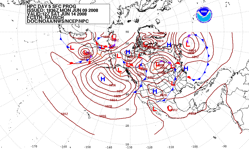
Extratropical cyclones, sometimes called mid-latitude cyclones or wave cyclones, are low-pressure areas which, along with the anticyclones of high-pressure areas, drive the weather over much of the Earth. Extratropical cyclones are capable of producing anything from cloudiness and mild showers to severe gales, thunderstorms, blizzards, and tornadoes. These types of cyclones are defined as large scale (synoptic) low pressure weather systems that occur in the middle latitudes of the Earth. In contrast with tropical cyclones, extratropical cyclones produce rapid changes in temperature and dew point along broad lines, called weather fronts, about the center of the cyclone. Terminology The term " cyclone" applies to numerous types of low pressure areas, one of which is the extratropical cyclone. The descriptor ''extratropical'' signifies that this type of cyclone generally occurs outside the tropics and in the middle latitudes of Earth between 30° and 60° latitude. They are term ... [...More Info...] [...Related Items...] OR: [Wikipedia] [Google] [Baidu] |
Beira, Mozambique
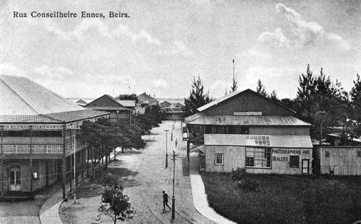
Beira is the capital and largest city of Sofala Province, where the Pungwe River meets the Indian Ocean, in the central region of Mozambique. It is the fourth-largest city by population in Mozambique, after Maputo, Matola and Nampula. Beira had a population of 397,368 in 1997, which grew to 530,604 in 2019. A coastal city, it holds the regionally significant Port of Beira, which acts as a gateway for both the central interior portion of the country as well as the land-locked nations of Zimbabwe, Zambia and Malawi. Originally called Chiveve after a local river, it was renamed Beira to honour the Portuguese Crown prince Dom Luís Filipe (titled Prince of Beira, itself referring to the traditional Portuguese province of Beira), who had visited Mozambique in the early 1900s. It was first developed by the Portuguese Mozambique Company in the 19th century, supplanting Sofala as the country's main port. It was then directly developed by the Portuguese colonial government from 1947 until ... [...More Info...] [...Related Items...] OR: [Wikipedia] [Google] [Baidu] |
Subtropical Cyclone
A subtropical cyclone is a weather system that has some characteristics of both tropical cyclone, tropical and an extratropical cyclone. As early as the 1950s, meteorologists were uncertain whether they should be characterized as Tropical cyclone, tropical or Extratropical cyclone, extratropical cyclones. They were officially recognized and titled by the National Hurricane Center in 1972. Beginning in 2002, subtropical cyclones received names from the official tropical cyclone lists in the North Atlantic hurricane, North Atlantic, South-West Indian Ocean tropical cyclone, South-west Indian Ocean, and South Atlantic tropical cyclone, South Atlantic basins. There are two definitions currently used for subtropical cyclones depending on their location. Across the north Atlantic and southwest Indian Ocean, they require some central Convectional Precipitation, convection fairly near the center surrounding a warming core existing in the mid-levels of the troposphere. Across the eastern ... [...More Info...] [...Related Items...] OR: [Wikipedia] [Google] [Baidu] |
Cold-core Low
A cold-core low, also known as an upper level low or cold-core cyclone, is a cyclone aloft which has an associated cold pool of air residing at high altitude within the Earth's troposphere, without a frontal structure. It is a low pressure system that strengthens with height in accordance with the thermal wind relationship. If a weak surface circulation forms in response to such a feature at subtropical latitudes of the eastern north Pacific or north Indian oceans, it is called a subtropical cyclone. Cloud cover and rainfall mainly occurs with these systems during the day. Severe weather, such as tornadoes, can occur near the center of cold-core lows. Cold lows can help spawn cyclones with significant weather impacts, such as polar lows, and Kármán vortices. Cold lows can lead directly to the development of tropical cyclones, owing to their associated cold pool of air aloft or by acting as additional outflow channels to aid in further development. Characteristics Cold ... [...More Info...] [...Related Items...] OR: [Wikipedia] [Google] [Baidu] |
1986–87 South-West Indian Ocean Cyclone Season
The 1986–87 South-West Indian Ocean cyclone season was below average due to an ongoing El Niño and a weak monsoon that suppressed convection (meteorology), convection and storms. There were only five tropical cyclone naming, named storms tracked by the Météo-France office (MFR) on Réunion. The United States-based Joint Typhoon Warning Center (JTWC) followed four other storms in the basin, which is the waters of the Indian Ocean south of the equator and west of 90° Longitude, E to the coast of Africa. The JTWC tracked a storm on August 1 in the northeastern portion of the basin, unusual for the time of year. The first named storm was Severe Tropical Storm Alinina, which originated from the Intertropical Convergence Zone east of Madagascar in the middle of January. However, there was an unnamed tropical depression that produced heavy rainfall in Réunion and Madagascar, causing two deaths in the latter country. In February, two tropical storms were active near the M ... [...More Info...] [...Related Items...] OR: [Wikipedia] [Google] [Baidu] |
1982–83 South-West Indian Ocean Cyclone Season
The 1982–83 South-West Indian Ocean cyclone season was the least active cyclone season in the basin since 1961–1962. There were six systems that were named, although three of them – Arilisy, Clera, and Fely – failed to intensify beyond tropical depression status. No storms reached tropical cyclone status, according to the official warning agency for the basin, Météo-France, although the two strongest storms – Bemany and Elinah – peaked just below that intensity. The first named storm, Arilisy, formed on October 27, and dissipated without having affected land. However, the Joint Typhoon Warning Center (JTWC), which is an unofficial warning center for the basin, briefly tracked a tropical depression in July. The next storm was Bemany, which passed east of Mauritius near peak intensity in early December. Tropical Depression Clera existed briefly in the middle of September, and Tropical Storm Dadafy moved across the eastern portion of the basin in late December. Th ... [...More Info...] [...Related Items...] OR: [Wikipedia] [Google] [Baidu] |
Walker Circulation
The Walker circulation, also known as the Walker cell, is a conceptual model of the air flow in the tropics in the lower atmosphere (troposphere). According to this model, parcels of air follow a closed circulation in the zonal and vertical directions. This circulation, which is roughly consistent with observations, is caused by differences in heat distribution between ocean and land. It was discovered by Gilbert Walker. In addition to motions in the zonal and vertical direction the tropical atmosphere also has considerable motion in the meridional direction as part of, for example, the Hadley Circulation. The term "Walker circulation" was coined in 1969 by the Norwegian-American meteorologist Jacob Bjerknes. Walker's methodology Gilbert Walker was an established applied mathematician at the University of Cambridge when he became director-general of observatories in India in 1904. While there, he studied the characteristics of the Indian Ocean monsoon, the failure of whose ... [...More Info...] [...Related Items...] OR: [Wikipedia] [Google] [Baidu] |
Convection (meteorology)
Atmospheric convection is the result of a parcel-environment instability, or temperature difference layer in the atmosphere. Different lapse rates within dry and moist air masses lead to instability. Mixing of air during the day which expands the height of the planetary boundary layer leads to increased winds, cumulus cloud development, and decreased surface dew points. Moist convection leads to thunderstorm development, which is often responsible for severe weather throughout the world. Special threats from thunderstorms include hail, downbursts, and tornadoes. Overview There are a few general archetypes of atmospheric instability that are used to explain convection (or lack thereof). A necessary (but not sufficient) condition for convection is that the environmental lapse rate (the rate of decrease of temperature with height) is steeper than the lapse rate experienced by a rising parcel of air. When this condition is met, upward-displaced air parcels can become buoyant an ... [...More Info...] [...Related Items...] OR: [Wikipedia] [Google] [Baidu] |
Atmospheric Pressure
Atmospheric pressure, also known as barometric pressure (after the barometer), is the pressure within the atmosphere of Earth. The standard atmosphere (symbol: atm) is a unit of pressure defined as , which is equivalent to 1013.25 millibars, 760mm Hg, 29.9212 inchesHg, or 14.696psi.International Civil Aviation Organization. ''Manual of the ICAO Standard Atmosphere'', Doc 7488-CD, Third Edition, 1993. . The atm unit is roughly equivalent to the mean sea-level atmospheric pressure on Earth; that is, the Earth's atmospheric pressure at sea level is approximately 1 atm. In most circumstances, atmospheric pressure is closely approximated by the hydrostatic pressure caused by the weight of air above the measurement point. As elevation increases, there is less overlying atmospheric mass, so atmospheric pressure decreases with increasing elevation. Because the atmosphere is thin relative to the Earth's radius—especially the dense atmospheric layer at low altitudes—the Earth's gravi ... [...More Info...] [...Related Items...] OR: [Wikipedia] [Google] [Baidu] |


