|
1st Arizona Volunteer Infantry
1st Arizona Volunteer Infantry was an infantry regiment in federal service from Arizona Territory that served under special provisions during the Apache wars in 1865–1866. The regiment was primarily raised among the native and indigenous population of Arizona, Mexicans, Maricopas, and Pima. It was thwarted by the US Army, and disbanded when the federal government refused to continue funding. Formation After the end American Civil War, the last troops of the California Column returned to California. Due to the ongoing Apache Wars, the need for a local fighting force still existed. The territorial legislature discussed the feasibility of creating a corps of territorial rangers, but the project died because its cost were approximated to be ten time as large as the annual tax revenue of the Territory. Already in 1864, governor John Noble Goodwin had been authorized to raise a regiment of volunteer infantry for three years or for the duration of the war. No troops had, however, been ... [...More Info...] [...Related Items...] OR: [Wikipedia] [Google] [Baidu] |
United States Volunteers
United States Volunteers also known as U.S. Volunteers, U.S. Volunteer Army, or other variations of these, were military volunteers called upon during wartime to assist the United States Army but who were separate from both the Regular Army and the militia. Prior to the enactment of the Militia Act of 1903, the land forces of the United States were divided into three separate and distinctive organizations. * The Regular Army, which was the permanent military establishment of the United States in peace and war. * The Militia of the several states and territories when called into the service of the United States. * Such volunteer forces that the Congress of the United States authorized to be organized for a limited time period as an adjunct to the Regular Army in time of emergencies. Early legislation The term ''Volunteers'' was first used in the ''Act of May 28, 1789'', during the Northwest Indian War, which authorized the President of the United States to accept companies of volun ... [...More Info...] [...Related Items...] OR: [Wikipedia] [Google] [Baidu] |
United States Department Of War
The United States Department of War, also called the War Department (and occasionally War Office in the early years), was the United States Cabinet department originally responsible for the operation and maintenance of the United States Army, also bearing responsibility for naval affairs until the establishment of the Navy Department in 1798, and for most land-based air forces until the creation of the Department of the Air Force on September 18, 1947. The Secretary of War, a civilian with such responsibilities as finance and purchases and a minor role in directing military affairs, headed the War Department throughout its existence. The War Department existed from August 7, 1789 until September 18, 1947, when it split into the Department of the Army and the Department of the Air Force. The Department of the Army and Department of the Air Force later joined the Department of the Navy under the United States Department of Defense in 1949. History 18th century The Departme ... [...More Info...] [...Related Items...] OR: [Wikipedia] [Google] [Baidu] |
Richard Cunningham McCormick
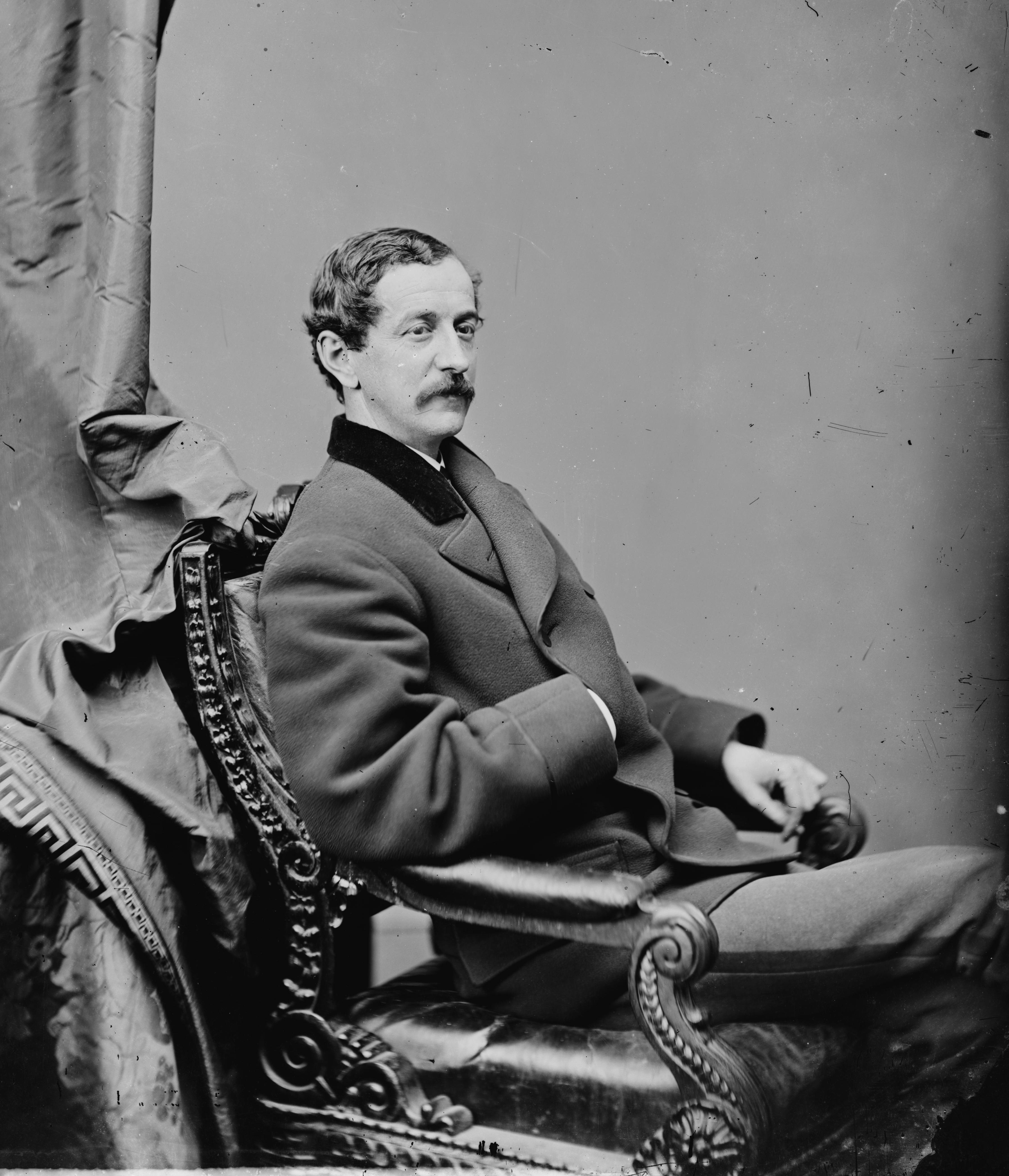
Richard Cunningham McCormick, Jr. (May 23, 1832June 2, 1901) was an American politician, businessman and journalist. He was the second Governor of Arizona Territory, three times delegate to the U.S. House of Representatives from Arizona Territory and a member of the U.S. House of Representatives from New York. McCormick was a war correspondent during two conflicts and the creator of two Arizona newspapers. Background McCormick was born on May 23, 1832, in New York City to Richard Cunningham and Sarah Matilda (Decker) McCormick. The senior McCormick was secretary of the New York merchants' exchange. The younger McCormick suffered from poor health and was educated at home by private tutors with the expectation he would attend Columbia University. Instead of enrolling in college, he became ill and was sent to Europe under the Victorian belief that travel had curative power. In 1854, while still in Europe, McCormick became a war correspondent reporting on the Crimean War. After his ... [...More Info...] [...Related Items...] OR: [Wikipedia] [Google] [Baidu] |
Desertion
Desertion is the abandonment of a military duty or post without permission (a pass, liberty or leave) and is done with the intention of not returning. This contrasts with unauthorized absence (UA) or absence without leave (AWOL ), which are temporary forms of absence. Desertion versus absence without leave In the United States Army, United States Air Force, British Armed Forces, Australian Defence Force, New Zealand Defence Force, Singapore Armed Forces and Canadian Armed Forces, military personnel will become AWOL if absent from their post without a valid pass, liberty or leave. The United States Marine Corps, United States Navy, and United States Coast Guard generally refer to this as unauthorized absence. Personnel are dropped from their unit rolls after thirty days and then listed as ''deserters''; however, as a matter of U.S. military law, desertion is not measured by time away from the unit, but rather: * by leaving or remaining absent from their unit, organizati ... [...More Info...] [...Related Items...] OR: [Wikipedia] [Google] [Baidu] |
Apaches
The Apache () are a group of culturally related Native American tribes in the Southwestern United States, which include the Chiricahua, Jicarilla, Lipan, Mescalero, Mimbreño, Ndendahe (Bedonkohe or Mogollon and Nednhi or Carrizaleño and Janero), Salinero, Plains (Kataka or Semat or "Kiowa-Apache") and Western Apache ( Aravaipa, Pinaleño, Coyotero, Tonto). Distant cousins of the Apache are the Navajo, with whom they share the Southern Athabaskan languages. There are Apache communities in Oklahoma and Texas, and reservations in Arizona and New Mexico. Apache people have moved throughout the United States and elsewhere, including urban centers. The Apache Nations are politically autonomous, speak several different languages, and have distinct cultures. Historically, the Apache homelands have consisted of high mountains, sheltered and watered valleys, deep canyons, deserts, and the southern Great Plains, including areas in what is now Eastern Arizona, Northern Mexico (Son ... [...More Info...] [...Related Items...] OR: [Wikipedia] [Google] [Baidu] |
United States Army
The United States Army (USA) is the land service branch of the United States Armed Forces. It is one of the eight U.S. uniformed services, and is designated as the Army of the United States in the U.S. Constitution.Article II, section 2, clause 1 of the United States Constitution (1789). See alsTitle 10, Subtitle B, Chapter 301, Section 3001 The oldest and most senior branch of the U.S. military in order of precedence, the modern U.S. Army has its roots in the Continental Army, which was formed 14 June 1775 to fight the American Revolutionary War (1775–1783)—before the United States was established as a country. After the Revolutionary War, the Congress of the Confederation created the United States Army on 3 June 1784 to replace the disbanded Continental Army.Library of CongressJournals of the Continental Congress, Volume 27/ref> The United States Army considers itself to be a continuation of the Continental Army, and thus considers its institutional inception to be th ... [...More Info...] [...Related Items...] OR: [Wikipedia] [Google] [Baidu] |
Search And Destroy
Search and destroy, seek and destroy, or simply S&D is a military strategy best known for its employment in the Malayan Emergency and the Vietnam War. The strategy consists of inserting ground forces into hostile territory, ''search''ing out the enemy, ''destroy''ing them, and withdrawing immediately afterward. The strategy was developed to take advantage of the capabilities offered by a new technology, the helicopter, which resulted in a new form of warfare, the fielding of air cavalry, and was thought to be ideally suited to counter-guerrilla jungle warfare. The complementary conventional strategy, which entailed attacking and conquering an enemy position, then fortifying and holding it indefinitely, was known as "clear and hold" or "clear and secure". In theory, since the traditional methods of "taking ground" could not be used in this war (as all disputed territory was technically already under the control of allied forces), a war of attrition would be used, with the aim of ... [...More Info...] [...Related Items...] OR: [Wikipedia] [Google] [Baidu] |
Tubac
Tubac is a census-designated place (CDP) in Santa Cruz County, Arizona, United States. The population was 1,191 at the 2010 census. The place name "Tubac" is an English borrowing from a Hispanicized form of the O'odham name ''Cuwak'', which translates into English as "place of dark water". When first taken into Spanish speech, it was spelled ''Tubaca''. Finally, over time, the latter "a" was dropped. Tubac is situated on the Santa Cruz River. Tubac was the original Spanish colonial garrison in Arizona. It was depopulated during the O'odham Uprising in the 18th century. During the 19th century, the area was repopulated by miners, farmers and ranchers, but the town of Tubac is best known today as an artists' colony. Geography Tubac is located at (31.625462, -111.051921). According to the United States Census Bureau, the CDP has a total area of , all land. History Established in 1752 as a Spanish presidio, the first Spanish colonial garrison in what is now Arizona, Tubac w ... [...More Info...] [...Related Items...] OR: [Wikipedia] [Google] [Baidu] |
Tucson
, "(at the) base of the black ill , nicknames = "The Old Pueblo", "Optics Valley", "America's biggest small town" , image_map = , mapsize = 260px , map_caption = Interactive map outlining Tucson , image_map1 = File:Pima County Incorporated and Unincorporated areas Tucson highlighted.svg , mapsize1 = 250px , map_caption1 = Location within Pima County , pushpin_label = Tucson , pushpin_map = USA Arizona#USA , pushpin_map_caption = Location within Arizona##Location within the United States , subdivision_type = Country , subdivision_type1 = State , subdivision_type2 = County , subdivision_name = United States , subdivision_name1 = Arizona , subdivision_name2 = Pima , established_title = Founded , established_date = August 20, 1775 , established_title1 = Incorporated , e ... [...More Info...] [...Related Items...] OR: [Wikipedia] [Google] [Baidu] |
Gila Valley
The Gila River Valley is a multi-sectioned valley of the Gila River, located primarily in Arizona. The Gila River forms in western New Mexico and flows west across southeastern, south-central, and southwestern Arizona; it changes directions as it progresses across the state, and defines specific areas and valleys. The central portion of the river flows through the southern Phoenix valley region (the '' Salt River Valley'' joins the Gila River Valley in this area), and the final sections in southwestern Arizona form smaller, irrigated valleys, such as Dome Valley, Mohawk Valley, and Hyder Valley. Two mountain ranges are named for the Gila River: the Gila Mountains (Graham County) bordering the Gila River Valley, northeast of Safford; the Gila Mountains (Yuma County) border the Gila River Valley before the Gila River joins its confluence with the Colorado River; that range is east of Yuma and the Fortuna Foothills. Graham County The Gila Valley begins as a 35-mile (56 ... [...More Info...] [...Related Items...] OR: [Wikipedia] [Google] [Baidu] |
Sonora
Sonora (), officially Estado Libre y Soberano de Sonora ( en, Free and Sovereign State of Sonora), is one of the 31 states which, along with Mexico City, comprise the Administrative divisions of Mexico, Federal Entities of Mexico. The state is divided into Municipalities of Sonora, 72 municipalities; the capital (and largest) city of which being Hermosillo, located in the center of the state. Other large cities include Ciudad Obregón, Nogales, Sonora, Nogales (on the Mexico–United States border, Mexico-United States border), San Luis Río Colorado, and Navojoa. Sonora is bordered by the states of Chihuahua (state), Chihuahua to the east, Baja California to the northwest and Sinaloa to the south. To the north, it shares the Mexico–United States border, U.S.–Mexico border primarily with the state of Arizona with a small length with New Mexico, and on the west has a significant share of the coastline of the Gulf of California. Sonora's natural geography is divided into three ... [...More Info...] [...Related Items...] OR: [Wikipedia] [Google] [Baidu] |


