|
1994 California Insurance Commissioner Election
The 1994 California Insurance Commissioner election occurred on November 8, 1994. The primary elections took place on March 8, 1994. The Republican nominee, Chuck Quackenbush, narrowly defeated the Democratic nominee, State Senator Art Torres, for the office previously held by incumbent John Garamendi, who chose not to seek re-election in favor of running for governor. Primary results Final results from the California Secretary of State Democratic Republican Others Election results Final results from the Secretary of State of California. Results by county See also *California state elections, 1994 *California Insurance Commissioner References External linksVoteCircle.com Non-partisan resources & vote sharing network for Californians {{DEFAULTSORT:California Insurance Commissioner Ele ... [...More Info...] [...Related Items...] OR: [Wikipedia] [Google] [Baidu] |
Chuck Quackenbush
Charles Quackenbush (born April 20, 1954) is an American former politician and Florida law enforcement officer. A Republican, he served as Insurance Commissioner of California from 1995–2000 and as a California State Assemblyman representing the 22nd District, from 1986–1994. Background and political career Quackenbush was born on April 20, 1954 in Tacoma, Washington. As a child, he grew up in a military family and after graduating University of Notre Dame on a full ROTC scholarship, he joined the United States Army and rose to the rank of Captain as a helicopter pilot. In 1982, he left the military to join the family business in Silicon Valley. He was elected as a Republican to the California Assembly in 1986. In 1994 he was elected insurance commissioner, effectively applying considerable campaign contributions from various insurance companies. He won re-election in 1998. Resignation :''Note: For a timeline of the events associated with this section see In early 20 ... [...More Info...] [...Related Items...] OR: [Wikipedia] [Google] [Baidu] |
Colusa County, California
Colusa County () is a county located in the U.S. state of California. As of the 2020 census, the population was 21,839. The county seat is Colusa. It is in the North Valley of California, northwest of the state capital, Sacramento. History Colusa County is one of the original counties of California, created in 1850 at the time of statehood. Parts of the county's territory were given to Tehama County in 1856 and to Glenn County in 1891. The county was named after the 1844 Rancho Colus Mexican land grant to John Bidwell. The name of the county in the original state legislative act of 1850 was spelled ''Colusi'', and often in newspapers was spelled ''Coluse''. The word is derived from the name of a Patwin village known as ''Ko'-roo'' or ''Korusi'' located on the west side of the Sacramento River on the site of the present-day city of Colusa. The name was established as ''Colusa'' by 1855. Early history Present-day Colusa County was originally home to the Patwin band of the W ... [...More Info...] [...Related Items...] OR: [Wikipedia] [Google] [Baidu] |
Mono County, California
Mono County ( ) is a county located in the east central portion of the U.S. state of California. As of the 2020 census, the population was 13,195, making it the fourth-least populous county in California. The county seat is Bridgeport. The county is located east of the Sierra Nevada between Yosemite National Park and Nevada. The only incorporated town in the county is Mammoth Lakes, which is located at the foot of Mammoth Mountain. Other locations, such as June Lake, are also famous as skiing and fishing resorts. Located in the middle of the county is Mono Lake, a vital habitat for millions of migratory and nesting birds. The lake is located in a wild natural setting, with pinnacles of tufa arising out of the salty and alkaline lake. Also located in Mono County is Bodie, the official state gold rush ghost town, which is now a California State Historic Park. History Mono County was formed in 1861 from parts of Calaveras, Fresno and Mariposa counties. A portion of norther ... [...More Info...] [...Related Items...] OR: [Wikipedia] [Google] [Baidu] |
Nevada County, California
Nevada County () is a county located in the U.S. state of California, in the Sierra Nevada. As of the 2020 census, the population was 102,241. The county seat is Nevada City. Nevada County comprises the Truckee-Grass Valley, CA Micropolitan Statistical Area, which is also included in the Sacramento- Roseville, CA Combined Statistical Area, part of the Mother Lode Country. History Created in 1851, from portions of Yuba County, Nevada County was named after the mining town of Nevada City, a name derived from the Sierra Nevada Mountains. The word ''nevada'' is Spanish for "snowy" or "snow-covered." Charles Marsh was one of the first settlers in what became Nevada City and perhaps the one who named the town. He went on to build extensive water flumes/ditches/canals in the area, and was influential in the building of the first transcontinental railroad as well as the Nevada County Narrow Gauge Railroad. Nevada City was the first to use the word "Nevada" in its name. In 18 ... [...More Info...] [...Related Items...] OR: [Wikipedia] [Google] [Baidu] |
Yuba County, California
Yuba County (; Maidu: ''Yubu'') is a county in the U.S. state of California. As of the 2020 U.S. Census, the population was 81,575. The county seat is Marysville. Yuba County is included in the Yuba City, California Metropolitan Statistical Area, which is also included in the Sacramento– Roseville, California Combined Statistical Area. The county is in the Central Valley region along the Feather River. Despite its name and proximity, Yuba City is in neighboring Sutter County, not Yuba County. History Yuba County was one of California's original counties, formed in 1850 at the time of statehood. Parts of the county's territory were given to Placer County in 1851, to Nevada County in 1851 and to Sierra County in 1852. The county was named after the Yuba River by Captain John Sutter for the Maidu village ''Yubu'', ''Yupu'' or ''Juba'' near the confluence of the Yuba and Feather rivers. General Mariano Vallejo said the river was named ''Uba'' by an exploring expedition in 1 ... [...More Info...] [...Related Items...] OR: [Wikipedia] [Google] [Baidu] |
El Dorado County, California
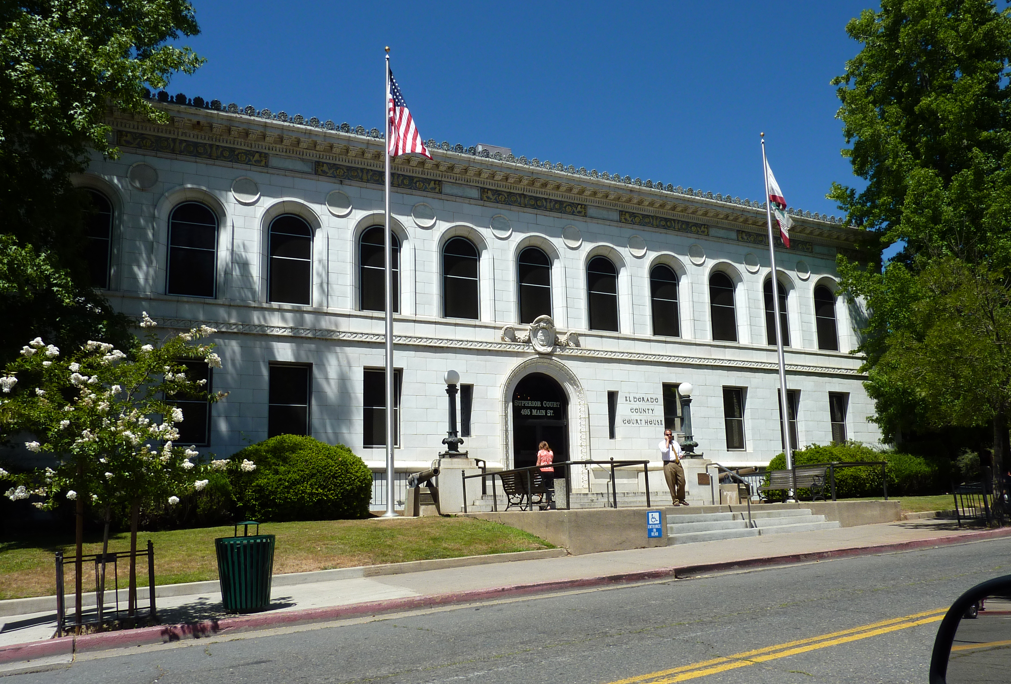
El Dorado County (), officially the County of El Dorado, is a county located in the U.S. state of California. As of the 2020 census, the population was 191,185. The county seat is Placerville. The County is part of the Sacramento- Roseville-Arden-Arcade, CA Metropolitan Statistical Area. It is located entirely in the Sierra Nevada, from the historic Gold Country in the western foothills to the High Sierra in the east. El Dorado County's population has grown as Greater Sacramento has expanded into the region. Where the county line crosses US 50 at Clarksville, the distance to Sacramento is 15 miles. In the county's high altitude eastern end at Lake Tahoe, environmental awareness and environmental protection initiatives have grown along with the population since the 1960 Winter Olympics, hosted at the former Squaw Valley Ski Resort in neighboring Placer County. History What is now known as El Dorado County has been home to the Maidu, Nisenan, Washoe, and Miwok Indigenous A ... [...More Info...] [...Related Items...] OR: [Wikipedia] [Google] [Baidu] |
San Luis Obispo County, California
San Luis Obispo County (), officially the County of San Luis Obispo, is a County (United States), county on the Central Coast (California), Central Coast of California. As of the 2020 United States Census, 2020 census, the population was 282,424. The county seat is San Luis Obispo, California, San Luis Obispo. Junípero Serra founded the Mission San Luis Obispo de Tolosa in 1772, and San Luis Obispo grew around it. The small size of the county's communities, scattered along the beaches, coastal hills, and mountains of the Santa Lucia range, provides a wide variety of coastal and inland hill ecologies to support fishing, agriculture, and tourist activities. California Polytechnic State University has almost 20,000 students. Tourism, especially for the wineries, is popular. Grapes and other agriculture products are an important part of the economy. San Luis Obispo County is the third largest producer of wine in California, surpassed only by Sonoma and Napa counties. Strawberrie ... [...More Info...] [...Related Items...] OR: [Wikipedia] [Google] [Baidu] |
Placer County, California
Placer County ( ; Spanish for "sand deposit"), officially the County of Placer, is a county in the U.S. state of California. As of the 2020 census, the population was 404,739. The county seat is Auburn. Placer County is included in the Greater Sacramento metropolitan area. It is in both the Sacramento Valley and Sierra Nevada regions, in what is known as the Gold Country. The county stretches roughly 65 miles (105 km) from Sacramento's suburbs at Roseville to the Nevada border and the shore of Lake Tahoe. Etymology The discovery of gold in 1848 brought tens of thousands of miners from around the world during the California Gold Rush. In addition, many more thousands came to provide goods and services to the miners. On April 25, 1851, the fast-growing county was formed from parts of Sutter and Yuba Counties with Auburn as the county seat. Placer County took its name from the Spanish word for sand or gravel deposits containing gold. Miners washed away the gravel, leaving ... [...More Info...] [...Related Items...] OR: [Wikipedia] [Google] [Baidu] |
Butte County, California
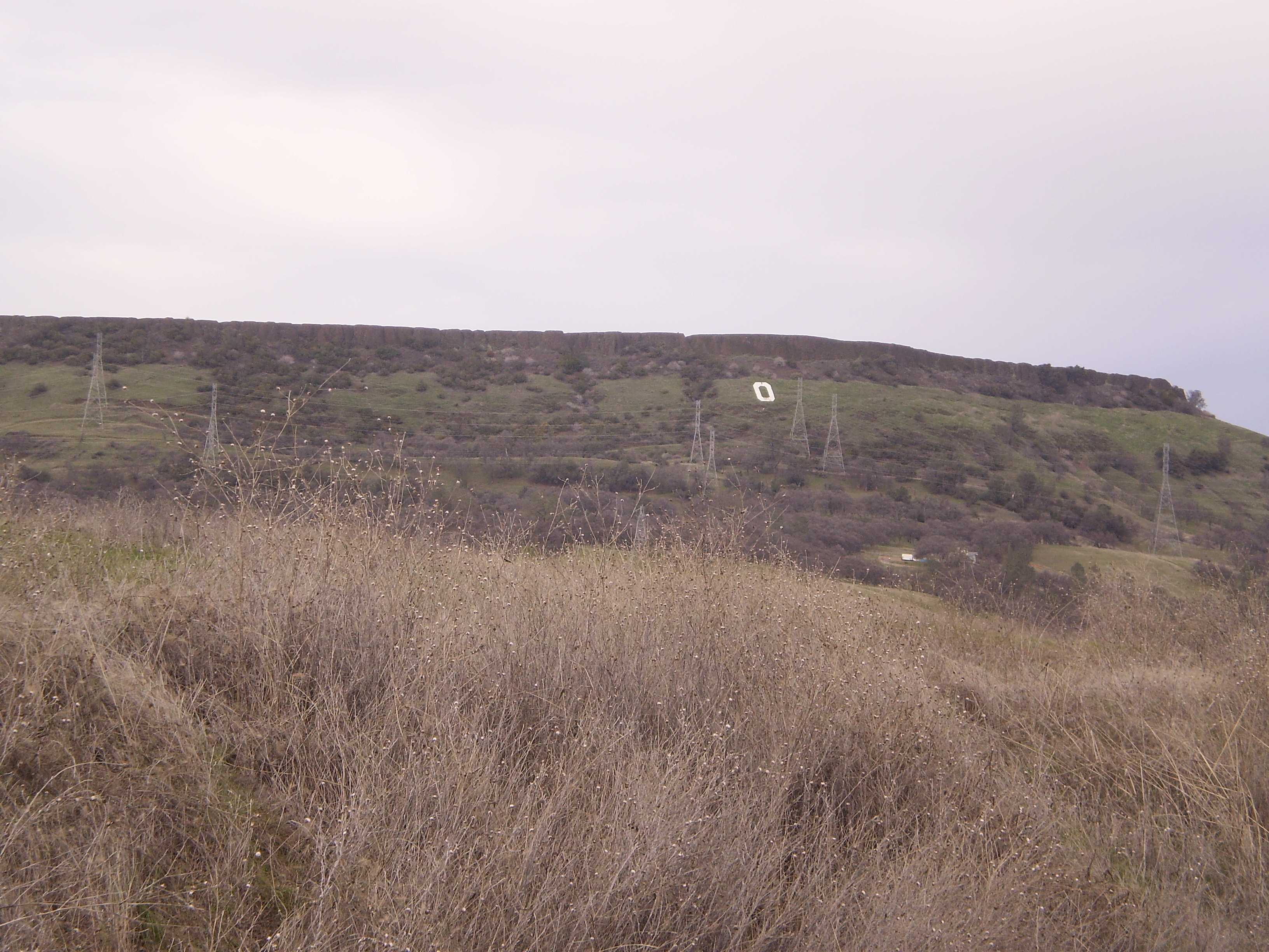
Butte County () is a county located in the northern part of the U.S. state of California. In the 2020 census, its population was 211,632. The county seat is Oroville. Butte County comprises the Chico, CA metropolitan statistical area. It is in the California Central Valley, north of the state capital of Sacramento. Butte County is drained by the Feather River and the Sacramento River. Butte Creek and Big Chico Creek are additional perennial streams, both tributary to the Sacramento. The county is home to California State University, Chico and Butte College. History Butte County is named for the Sutter Buttes in neighboring Sutter County; ''butte'' means "small knoll" or "small hill" in French. Butte County was incorporated as one of California's 19 original counties on February 18, 1850. The county went across the present limits of the Tehama, Plumas, Colusa, and Sutter Counties. Between November 8 and 25, 2018, a major wildfire, the Camp Fire, destroyed most of th ... [...More Info...] [...Related Items...] OR: [Wikipedia] [Google] [Baidu] |
Madera County, California
Madera County (), officially the County of Madera, is a county at the geographic center of the U.S. state of California. As of the 2020 census, the population was 156,255. The county seat is Madera. Madera County comprises the Madera, CA Metropolitan Statistical Area, which is included in the Fresno-Madera, CA Combined Statistical Area. It is located in the eastern San Joaquin Valley and the central Sierra Nevada. The southeasternmost part of Yosemite National Park is located in the county's northeast. History and etymology Madera County was formed in 1893 from Fresno County during a special election held in Fresno on May 16, 1893. Citizens residing in the area that was to become Madera County voted 1,179 to 358 for separation from Fresno County and the establishment of Madera County. Madera is the Spanish term for wood. The county derives its name from the town of Madera, named when the California Lumber Company built a log flume to carry lumber to the Central Pacific R ... [...More Info...] [...Related Items...] OR: [Wikipedia] [Google] [Baidu] |
Tulare County, California
Tulare County ( ) is a County (United States), county located in the U.S. state of California. As of the 2010 United States Census, 2020 census, the population was 473,117. The county seat is Visalia, California, Visalia. The county is named for Tulare Lake, once the largest freshwater lake west of the Great Lakes. Drained for agricultural development, the site is now in Kings County, California, Kings County, which was created in 1893 from the western portion of the formerly larger Tulare County. Tulare County comprises the Visalia-Porterville, California, Porterville, CA Metropolitan Statistical Area. The county is located south of Fresno, California, Fresno, spanning from the San Joaquin Valley east to the Sierra Nevada. Sequoia National Park is located in the county, as is part of Kings Canyon National Park, in its northeast corner (shared with Fresno County, California, Fresno County), and part of Mount Whitney, on its eastern border (shared with Inyo County, California, Iny ... [...More Info...] [...Related Items...] OR: [Wikipedia] [Google] [Baidu] |
Tehama County, California
Tehama County ( ; Wintun for "high water") is a county located in the northern part of the U.S. state of California. As of the 2020 census, the population was 65,829. The county seat and largest city is Red Bluff. Tehama County comprises the Red Bluff, California micropolitan statistical area, which is also included in the Redding-Red Bluff, California combined statistical area. The county is bisected by the Sacramento River. Etymology The county is named for the City of Tehama. Tehama is most commonly believed to be derived from the Wintun word for "high water". Others definitions of native origin that have been proposed such as "low land", "salmon", "mother nature" or "shallow". A less accepted theory proposes the names origin is ''tejamanil'', shingle in Spanish. History Tehama County was formed from parts of Butte, Colusa, and Shasta Counties in 1856. The first permanent non-indigenous settlers in the area that is now Tehama County were Robert Hasty Thomes, Albert G ... [...More Info...] [...Related Items...] OR: [Wikipedia] [Google] [Baidu] |


.jpg)