|
1966–67 Athenian League
The 1966–67 Athenian League season was the 44th in the history of Athenian League. The league consisted of 48 teams. Premier Division The division featured two new teams, both promoted from last season's Division One: * Bishop's Stortford (1st) * Harwich & Parkeston (2nd) League table Division One The division featured 4 new teams: * 2 relegated from last season's Premier Division: ** Carshalton Athletic (15th) ** Hornchurch (16th) * 2 promoted from last season's Division Two: ** Croydon Amateurs (1st) ** Cheshunt (2nd) League table Division Two The division featured 3 new teams: * 2 relegated from last season's Division One: ** Horsham Horsham is a market town on the upper reaches of the River Arun on the fringe of the Weald in West Sussex, England. The town is south south-west of London, north-west of Brighton and north-east of the county town of Chichester. Nearby to ... (15th) ** Eastbourne (16th) * 1 joined the division: ** Boreham Wood, from Sparta ... [...More Info...] [...Related Items...] OR: [Wikipedia] [Google] [Baidu] |
Athenian League
The Athenian League was an English amateur football league for clubs in and around London. The league was originally to be called the Corinthian League,Athenian Football League minutes 1912-1921 (National Football Museum, Preston). but this name was rejected by the Football Association. It was formed in 1912 with ten clubs, but had to close down in 1914 due to the onset of World War I. When it reformed in 1920, only three of the previous teams rejoined. Clubs left and joined the league at a rate of about one a year, with a number leaving to join the Isthmian League, the strongest amateur league in the London area. Total membership remained fairly stable at between twelve and sixteen clubs until 1963, when it absorbed most of the clubs from two rival leagues, the Corinthian League (most of whose former clubs formed Division One) and the Delphian League (most of whose former clubs formed Division Two). The existing division was renamed the Premier Division. Over the following year ... [...More Info...] [...Related Items...] OR: [Wikipedia] [Google] [Baidu] |
Walton & Hersham F
Walton may refer to: People * Walton (given name) * Walton (surname) * Susana, Lady Walton (1926–2010), Argentine writer Places Canada *Walton, Nova Scotia, a community **Walton River (Nova Scotia) *Walton, Ontario, a hamlet United Kingdom *Walton, Aylesbury, Buckinghamshire *Walton, Milton Keynes, Buckinghamshire, a hamlet *Walton, Peterborough, a residential area and electoral ward of the city of Peterborough, Cambridgeshire *Walton, Cheshire, a village and civil parish *Walton, Cumbria, a village and civil parish *Walton, Chesterfield, Derbyshire, a suburb of Chesterfield *Walton-on-Trent, South Derbyshire, Derbyshire *Walton-on-the-Naze, Essex, a seafront town informally called "Walton" *Walton, Leicestershire, a village *Walton, Leeds, a village and civil parish *Walton, Liverpool, an area of Liverpool *Walton Street, London *East Walton, Norfolk *West Walton, Norfolk *Walton, North East Derbyshire, a village in the civil parish of Holymoorside and Walton *Walton Manor, ... [...More Info...] [...Related Items...] OR: [Wikipedia] [Google] [Baidu] |
Letchworth F
Letchworth Garden City, commonly known as Letchworth, is a town in the North Hertfordshire district of Hertfordshire, England. It is noted for being the first garden city. The population at the time of the 2011 census was 33,249. Letchworth was an ancient parish, appearing in the Domesday Book of 1086. It remained a small rural village until the start of the twentieth century. The development of the modern town began in 1903, when much of the land in Letchworth and the neighbouring parishes of Willian and Norton was purchased by a company called First Garden City Limited, founded by Ebenezer Howard and his supporters with the aim of building the first "garden city", following the principles Howard had set out in his 1898 book, ''To-morrow: A Peaceful Path to Real Reform''. Their aim was to create a new type of settlement which provided jobs, services, and good housing for residents, whilst retaining the environmental quality of the countryside, in contrast to most industr ... [...More Info...] [...Related Items...] OR: [Wikipedia] [Google] [Baidu] |
Hertford Town F
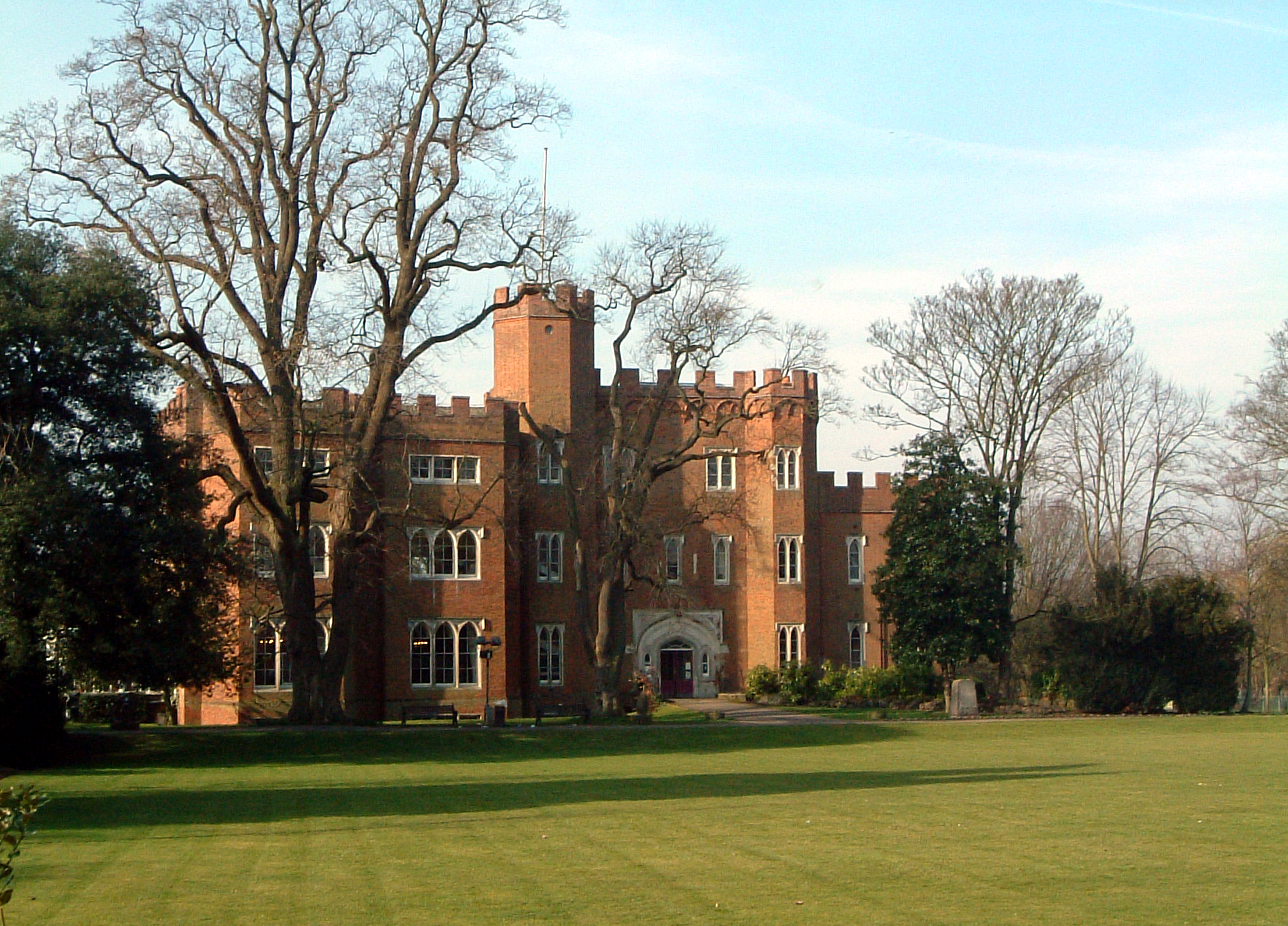
Hertford ( ) is the county town of Hertfordshire, England, and is also a civil parish in the East Hertfordshire district of the county. The parish had a population of 26,783 at the 2011 census. The town grew around a ford on the River Lea, near its confluences with the rivers Mimram, Beane, and Rib. The Lea is navigable from the Thames up to Hertford. Fortified settlements were established on each side of the ford at Hertford in 913AD. The county of Hertfordshire was established at a similar time, being named after and administered from Hertford. Hertford Castle was built shortly after the Norman Conquest in 1066 and remained a royal residence until the early seventeenth century. Hertfordshire County Council and East Hertfordshire District Council both have their main offices in the town and are major local employers, as is McMullen's Brewery, which has been based in the town since 1827. The town is also popular with commuters, being only north of central London and connecte ... [...More Info...] [...Related Items...] OR: [Wikipedia] [Google] [Baidu] |
Erith & Belvedere F
Erith () is an area in south-east London, England, east of Charing Cross. Before the creation of Greater London in 1965, it was in the historical county of Kent. Since 1965 it has formed part of the London Borough of Bexley. It lies north-east of Bexleyheath and north-west of Dartford, on the south bank of the River Thames. The population is 45,345. The town centre has been modernised with further dwellings added since 1961. The curved riverside high street has three listed buildings, including the Church of England church and the Carnegie Building. Erith otherwise consists mainly of suburban housing. It is linked to central London and Kent by rail and to Thamesmead by a dual carriageway. It has the longest pier in London, and retains a coastal environment with salt marshes alongside industrial land. History Pre-medieval Work carried out at the former British Gypsum site in Church Manorway by the Museum of London Archaeological Service shows that the area was covered by ... [...More Info...] [...Related Items...] OR: [Wikipedia] [Google] [Baidu] |
Wembley F
Wembley () is a large suburbIn British English, "suburb" often refers to the secondary urban centres of a city. Wembley is not a suburb in the American sense, i.e. a single-family residential area outside of the city itself. in north-west London, England, northwest of Charing Cross. It includes the neighbourhoods of Alperton, North Wembley, Preston, Sudbury, Tokyngton and Wembley Park. The population was 102,856 in 2011. Wembley was for over 800 years part of the parish of Harrow on the Hill in Middlesex. Its heart, Wembley Green, was surrounded by agricultural manors and their hamlets. The small, narrow, Wembley High Street is a conservation area. The railways of the London & Birmingham Railway reached Wembley in the mid-19th century, when the place gained its first church. Slightly south-west of the old core, the main station was originally called Sudbury, but today is known as Wembley Central. By the 1920s, the nearby long High Road hosted a wide array of shops and Wemb ... [...More Info...] [...Related Items...] OR: [Wikipedia] [Google] [Baidu] |
Chesham United F
Chesham (, , or ) is a market town and civil parish in Buckinghamshire, England, south-east of the county town of Aylesbury, north-west of central London, and part of the London commuter belt. It is in the Chess Valley, surrounded by farmland. The earliest records of Chesham as a settlement are from the second half of the 10th century, although there is archaeological evidence of people in this area from around 8000 BC. Henry III granted a royal charter for a weekly market in 1257. Chesham is known for its ''four Bs'' boots, beer, brushes and Baptists. In the face of fierce competition from both home and abroad during the later 19th and early 20th centuries, the three traditional industries rapidly declined. The ready availability of skilled labour encouraged new industries to the town both before and after the Second World War. Today, employment in the town is provided mainly by small businesses engaged in light industry, technology and professional services. From t ... [...More Info...] [...Related Items...] OR: [Wikipedia] [Google] [Baidu] |
Cheshunt F
Cheshunt ( ) is a town in Hertfordshire, England, north of London on the River Lea and Lee Navigation. It contains a section of the Lee Valley Park, including much of the River Lee Country Park. To the north lies Broxbourne and Wormley, Waltham Abbey to the east, Waltham Cross and Enfield to the south, and Cuffley to the west. Historically an ancient parish in the Hertford hundred of Hertfordshire, it was granted urban district status in 1894. Waltham Cross, which became a separate ecclesiastical parish in 1885, historically formed the southern part of Cheshunt, and remained part of the Cheshunt Urban District until its abolition in 1974. The urban districts of Cheshunt and Hoddesdon merged in 1974 to form the Borough of Broxbourne, the area's current local authority district. Cheshunt was not re-established as a successor parish. At the 2011 census, Cheshunt had a population of 45,832. History and geography The Prime Meridian passes to the east of Cheshunt. The town nam ... [...More Info...] [...Related Items...] OR: [Wikipedia] [Google] [Baidu] |
Croydon F
Croydon is a large town in south London, England, south of Charing Cross. Part of the London Borough of Croydon, a local government district of Greater London. It is one of the largest commercial districts in Greater London, with an extensive shopping district and night-time economy. The entire town had a population of 192,064 as of 2011, whilst the wider borough had a population of 384,837. Historically an ancient parish in the Wallington hundred of Surrey, at the time of the Norman conquest of England Croydon had a church, a mill, and around 365 inhabitants, as recorded in the Domesday Book of 1086. Croydon expanded in the Middle Ages as a market town and a centre for charcoal production, leather tanning and brewing. The Surrey Iron Railway from Croydon to Wandsworth opened in 1803 and was an early public railway. Later 19th century railway building facilitated Croydon's growth as a commuter town for London. By the early 20th century, Croydon was an important industrial area ... [...More Info...] [...Related Items...] OR: [Wikipedia] [Google] [Baidu] |
Carshalton Athletic F
Carshalton () is a town, with a historic village centre, in south London, England, within the London Borough of Sutton. It is situated south-southwest of Charing Cross, in the valley of the River Wandle, one of the sources of which is Carshalton Ponds in the middle of the village. Prior to the creation of Greater London in 1965, Carshalton was in the administrative county of Surrey. Carshalton consists of a number of neighbourhoods. The main focal point, Carshalton Village, is visually scenic and picturesque. At its centre it has two adjoining ponds, which are overlooked by the Grade II listed All Saints Church on the south side and the Victorian Grove Park on the north side. The Grade II listed Honeywood Museum sits on the west side, a few yards from the water. There are a number of other listed buildings, as well as three conservation areas, including one in the village. In addition to Honeywood Museum, there are several other cultural features in Carshalton, including the Cha ... [...More Info...] [...Related Items...] OR: [Wikipedia] [Google] [Baidu] |
Harrow Borough F
Harrow may refer to: Places * Harrow, Victoria, Australia * Harrow, Ontario, Canada * The Harrow, County Wexford, a village in Ireland * London Borough of Harrow, England ** Harrow, London, a town in London ** Harrow (UK Parliament constituency) ** Harrow on the Hill * Harrow, Caithness, a hamlet in Scotland Schools * Harrow School, independent school in Harrow, London, founded 1572 * Harrow College, college in Harrow, London, founded 1999 * Harrow High School, secondary school in Harrow, London * Harrow International School Bangkok * Harrow International School Beijing * Harrow International School Hong Kong Other uses * Harrow (surname) * Harrow (tool), an agricultural implement * ''Harrow'' (TV series), an Australian television series * ''The Harrow'', a fantasy and horror magazine * Harrow football, a football style played at Harrow School * Harrow History Prize, a prize for children at British preparatory schools * Harrow RFC, a rugby club * Harrow Road, a road in London ... [...More Info...] [...Related Items...] OR: [Wikipedia] [Google] [Baidu] |
Uxbridge F
Uxbridge () is a suburban town in west London and the administrative headquarters of the London Borough of Hillingdon. Situated west-northwest of Charing Cross, it is one of the major metropolitan centres identified in the London Plan. Uxbridge formed part of the parish of Hillingdon in the county of Middlesex, and was a significant local commercial centre from an early time. As part of the suburban growth of London in the 20th century it expanded and increased in population, becoming a municipal borough in 1955, and has formed part of Greater London since 1965. A few major events have taken place in and around the town, including attempted negotiations between King Charles I and the Parliamentary Army during the English Civil War. The public house at the centre of those events, since renamed the Crown & Treaty, still stands. RAF Uxbridge houses the Battle of Britain Bunker, from where the air defence of the south-east of England was coordinated during the Battle of Britain ... [...More Info...] [...Related Items...] OR: [Wikipedia] [Google] [Baidu] |


.jpg)