Yamate Tunnel on:
[Wikipedia]
[Google]
[Amazon]
The carries the Central Circular Route (C2) of the

Shuto Expressway
The is a network of Toll road, tolled expressways in the Greater Tokyo Area of Japan. It is operated and maintained by the .
Most routes are Grade separation, grade separated and have many sharp curves and multi-lane merges that require cauti ...
in Tokyo
Tokyo, officially the Tokyo Metropolis, is the capital of Japan, capital and List of cities in Japan, most populous city in Japan. With a population of over 14 million in the city proper in 2023, it is List of largest cities, one of the most ...
, Japan
Japan is an island country in East Asia. Located in the Pacific Ocean off the northeast coast of the Asia, Asian mainland, it is bordered on the west by the Sea of Japan and extends from the Sea of Okhotsk in the north to the East China Sea ...
, from the Takamatsu on-ramp in Toshima to near the Åi Junction in Shinagawa
is a special ward in the Tokyo Metropolis in Japan. The Ward refers to itself as Shinagawa City in English. The Ward is home to ten embassies.
, the Ward had an estimated population of 380,293 and a population density of 16,510 persons per ...
. It has a length of .
Lying below the surface, about 70 percent of the tunnel was constructed by the tunnelling shield method. The roadway consists of two lanes in each direction. Nearly all of the tunnel lies beneath Yamate Street. On completion the Yamate Tunnel surpassed the Kan'etsu Tunnel on the Kan-Etsu Expressway
The is a national expressways of Japan, expressway in Japan. It is owned and managed by East Nippon Expressway Company.
Naming
is the ''kanji'' acronym of and the old comprising modern-day Niigata Prefecture.
Officially, the Kan-Etsu consist ...
, to become the longest road tunnel in Japan and the second longest road tunnel in the world. Most of the tunnel follows the route of Yamate Street (Tokyo Metropolitan Route 317).
History
Plans for an expressway on the route were first drawn up around 1970, initially in the form of an elevated expressway over the Meguro River between Shibuya and Oimachi. The elevated expressway plan was shelved shortly after, following concerns about environmental issues and local resident protests, but re-emerged in the 1990s in the form of a tunnel plan. The final plan for the southern portion of the tunnel, approved in 2004, followed Yamate Street and the Meguro River, in order to minimize tunneling under private property. Construction on the Yamate Tunnel began in 1992. The TakamatsuâNishi Shinjuku segment opened on 22 December 2007. On the same date, an above-ground segment linking the tunnel to the KumanochÅ Interchange in Itabashi and Toshima opened. The section between Nishi Shinjuku and Ohashi opened on 28 March 2010. The last section linking Ohashi to theBayshore Route
The signed as Route B, is one of the routes of the Toll road, tolled Shuto Expressway system in the Greater Tokyo Area. The Bayshore Route is a stretch of toll highway that runs from the Kanazawa-ku, Yokohama, Kanazawa ward of Yokohama in th ...
opened on 7 March 2015.
Facilities
The tunnel has many operational and safety facilities. Among them are emergency telephones and cameras at intervals. Fire-safety equipment includes infrared sensors, fire extinguishers, foam sprayers, and pushbutton alarms. Emergency exits leading to a separate emergency path are located no more than apart. Stairways lead up to Yamate Street. A duct running parallel to the roadway supplies fresh air and removes exhaust. Dust-collection systems are designed to remove 80 percent of particulates from the air. The Ohashi Junction inMeguro
is a Special wards of Tokyo, special ward in the Tokyo, Tokyo Metropolis in Japan. The English translation of its Japanese self-designation is Meguro City. The ward was founded on March 15, 1947.
Meguro is predominantly residential in character ...
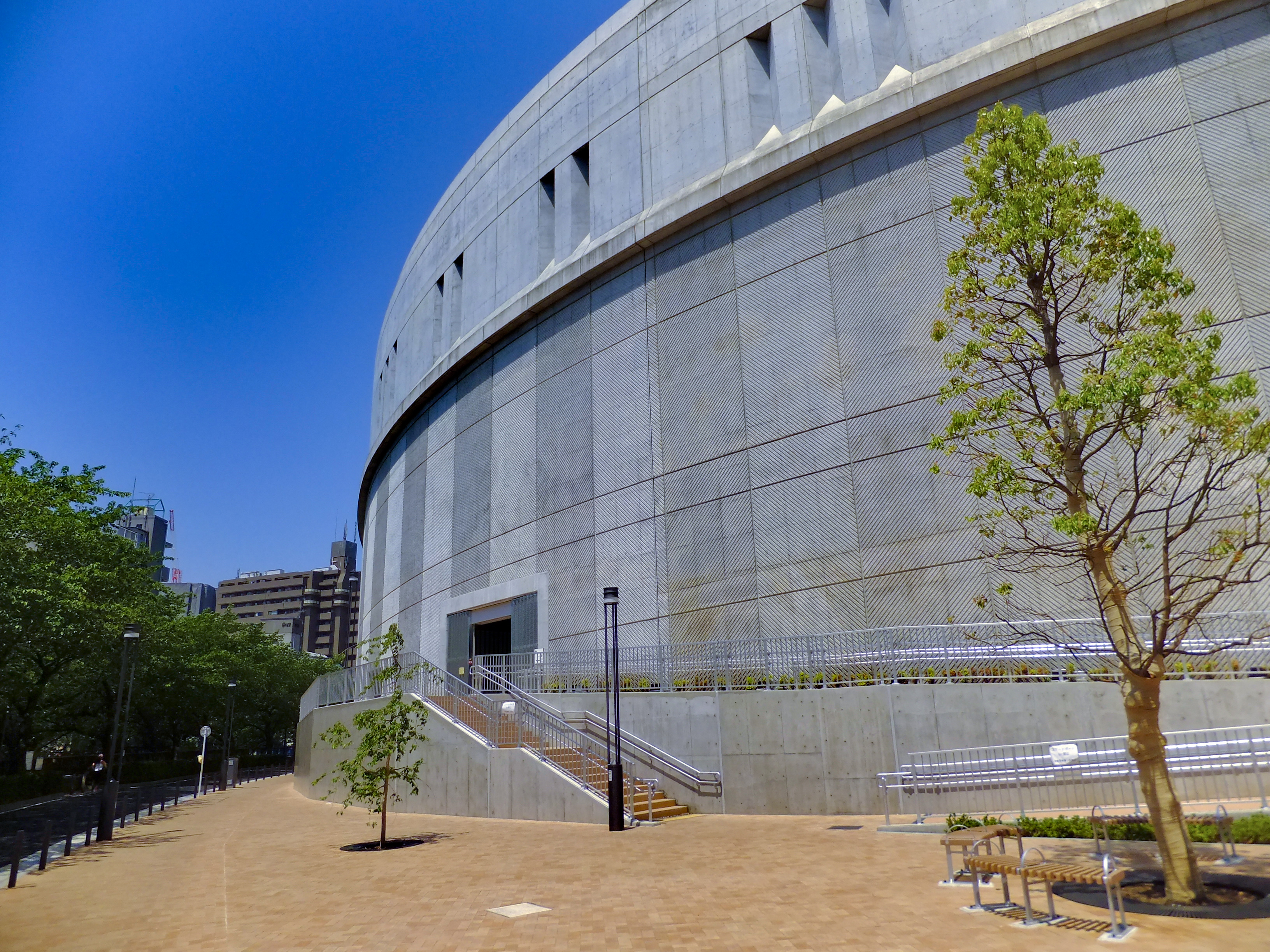
, connecting the tunnel to the Shibuya Route, required construction of stacked elliptical ramps in circumference and in diameter, similar in size to the National Stadium track. For soundproofing reasons, the junction was encased in over of concrete. The structure was used as the centerpiece of an urban planning project that includes the Meguro Sky Garden park and several high-rise condominium towers.
Ramps and junctions

Other underground viaducts
The Yamate Tunnel passes above the YÅ«rakuchÅ and Åedo subway lines. It crosses below the TÅzai andMarunouchi
Marunouchi () is an area in Chiyoda, Tokyo, Chiyoda, Tokyo, Japan, located between Tokyo Station and the Kokyo, Imperial Palace. The name, meaning "inside the circle", derives from its location within the palace's outer moat. Marunouchi is the core ...
subway lines, as well as the KeiÅ and KeiÅ New Lines and the TÅkyÅ« Den-en-toshi Line. The tunnel runs parallel to the Åedo Line, along a segment between Nakai and Nishi Shinjuku Gochome Stations. Nakai and Nakano Sakaue Stations, lying beneath the Yamate Tunnel, have escalators that pass between Yamate's two tunnels.
Further reading
* 西澤ä¸èãé¦é½é«å±±æãã³ãã«ãæ±é¾å ï¼2007å¹´ï¼References
See also
* Gotthard Base Tunnel *{{ill, Sapaesan Tunnel, ko, ì¬í¨ì°í°ë Shuto Expressway Road tunnels in Japan Tunnels completed in 2007 Transport buildings and structures in Tokyo