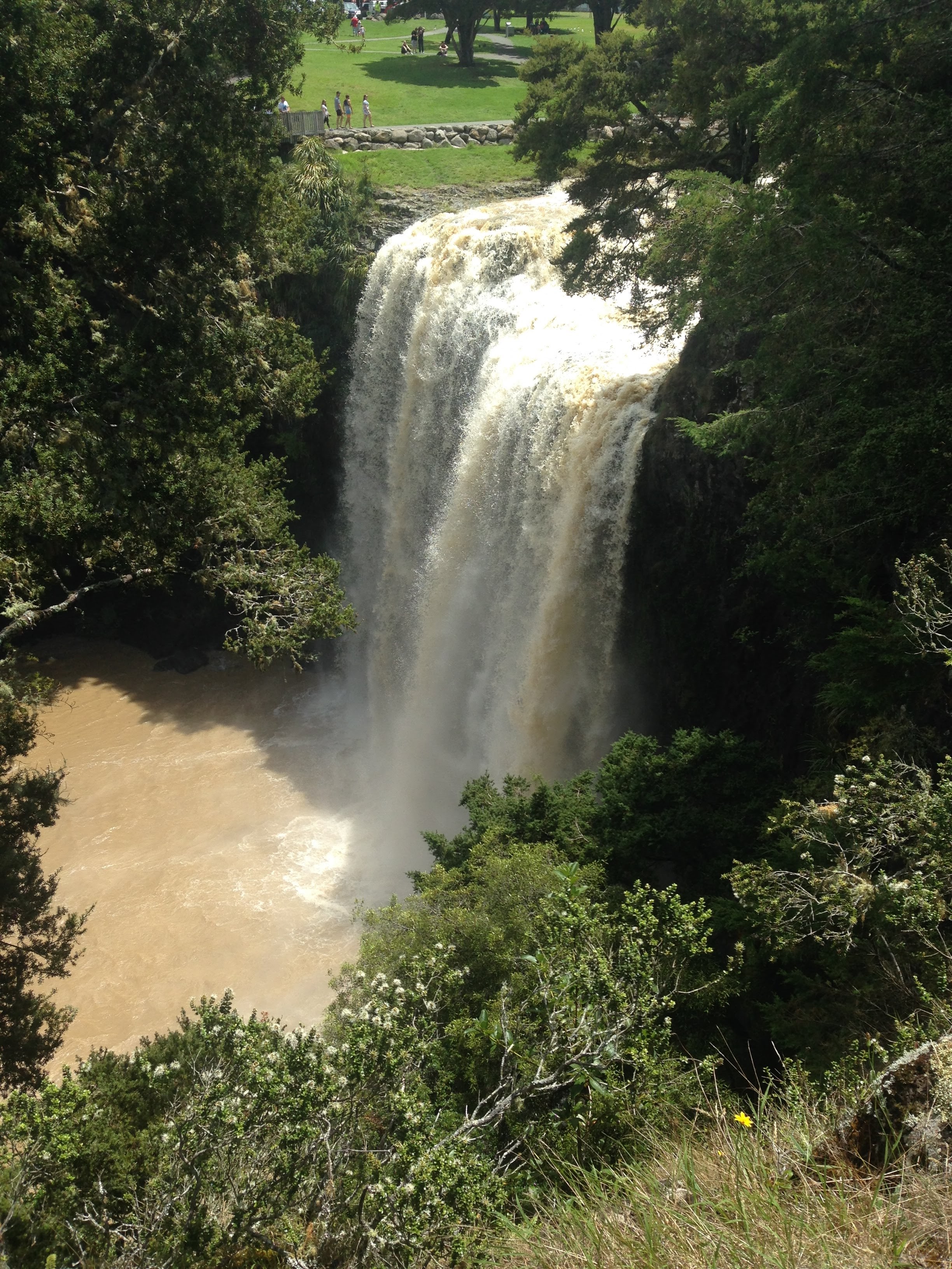
Whangārei Falls on:
[Wikipedia]
[Google]
[Amazon]
 Whangārei Falls () is located just on the outskirts of
  The
The
Official website
Waterfalls of New Zealand Whangārei {{Northland-geo-stub
 Whangārei Falls () is located just on the outskirts of
 Whangārei
Whangārei () is the northernmost city in New Zealand and the largest settlement of the Northland Region. It is part of the Whangarei District, created in 1989 from the former Whangarei City, Whangarei County and Hikurangi Town councils to admi ...
on Boundary Road in the suburb of Tikipunga
Tikipunga is one of the biggest suburbs in Whangārei, New Zealand. It is in the north-east part of the city and has the landmark Whangārei Falls nearby.
Demographics
Tikipunga covers and had an estimated population of as of with a popula ...
, a popular place for both locals and tourists to visit, go for walks along the edge of the Hātea River
The Hātea River is a river of New Zealand. It flows from the north-east of Whangārei southwards and into the northern head of Whangārei Harbour. Its lower length forms the eastern boundary of the city. The banks along the lower reaches are par ...
, or to have a picnic on the lawns and tables at the top of the waterfall near the main car park.
 The
The Hātea River
The Hātea River is a river of New Zealand. It flows from the north-east of Whangārei southwards and into the northern head of Whangārei Harbour. Its lower length forms the eastern boundary of the city. The banks along the lower reaches are par ...
drops over a basalt
Basalt (; ) is an aphanite, aphanitic (fine-grained) extrusive igneous rock formed from the rapid cooling of low-viscosity lava rich in magnesium and iron (mafic lava) exposed at or very near the planetary surface, surface of a terrestrial ...
lava flow
Lava is molten or partially molten rock (magma) that has been expelled from the interior of a terrestrial planet (such as Earth) or a Natural satellite, moon onto its surface. Lava may be erupted at a volcano or through a Fissure vent, fractu ...
. There are many gravel and dirt walkways through the native bush, around the falls and alongside the river, the full walking track to A. H. Reed park and back to the falls in a loop is about one hour.
The falls were originally known as ''Otuihau'', and have been a common picnic spot since at least the 1890s. In the 1920s, the land was bought by Archibald Clapham, who donated around four hundred clocks to a clock museum that became Clapham's Clocks. He bought the land to prevent commercial exploitation of the falls. The Whangarei Businessmen's Association raised funds in 1946 to buy the land on behalf of the citizens of Whangārei and turned it into a public park.
See also
*List of waterfalls
This list of notable waterfalls of the world is sorted by continent, then country, then province, state or territory. A waterfall is included if it is at least tall and has an existing Wikipedia article, or it is considered historically sig ...
* List of waterfalls in New Zealand
New Zealand, according to the gazetteer maintained by Land Information New Zealand has "249 named waterfalls and 31 named rapids". There are perhaps seven named "Bridal Veil", and 17 whose names include "Rere" meaning "to leap or descend". In the ...
References
External links
Official website
Waterfalls of New Zealand Whangārei {{Northland-geo-stub