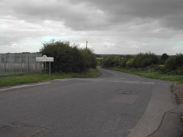
Silverhill, Nottinghamshire on:
[Wikipedia]
[Google]
[Amazon]
Silverhill is an artificial


hill
A hill is a landform that extends above the surrounding terrain. It often has a distinct summit, and is usually applied to peaks which are above elevation compared to the relative landmass, though not as prominent as Mountain, mountains. Hills ...
near Teversal
Teversal is a village in the Ashfield district of Nottinghamshire, England. It lies north of Sutton-in-Ashfield and west of Mansfield. It is close to the boundary with Derbyshire. Former names include ''Tevershalt'', ''Teversholt'', ''Tyversh ...
in Nottinghamshire
Nottinghamshire (; abbreviated ''Notts.'') is a ceremonial county in the East Midlands of England. The county is bordered by South Yorkshire to the north-west, Lincolnshire to the east, Leicestershire to the south, and Derbyshire to the west. Th ...
, and is one of the highest points in the county at . Originally it was a mine spoil heap on the site of the former Silverhill colliery which closed in the 1990s. It was subsequently landscaped in 2005 by Nottinghamshire County Council, with tree planting, numerous footpaths, and a viewpoint. It is now known as Silverhill Woods, and is one of a number of recreation sites in the area. These are linked together by multi-user trails, many of which incorporate the track beds of disused railway lines which once served the various local collieries.
Viewpoint
The high point allows for panoramic views over five counties; landmarks such asLincoln Cathedral
Lincoln Cathedral, also called Lincoln Minster, and formally the Cathedral Church of the Blessed Virgin Mary of Lincoln, is a Church of England cathedral in Lincoln, England, Lincoln, England. It is the seat of the bishop of Lincoln and is the Mo ...
and Bolsover Castle
Bolsover Castle is in the town of Bolsover (), in the north-east of the English county of Derbyshire. Built in the early 17th century, the present castle lies on the earthworks and ruins of the 12th-century medieval castle; the first structure ...
can be seen from the summit. The site also overlooks the Elizabethan Hardwick Hall
Hardwick Hall is an architecturally significant Elizabethan architecture, Elizabethan-era country house in Derbyshire, England. A leading example of the Elizabethan prodigy house, the Renaissance architecture, Renaissance style home was bu ...
, as well as the more modern M1 motorway. The flat area of the viewpoint was originally laid out with stone blocks, at the ordinal points of the compass. A bronze statue of a kneeling coal miner with a Davy lamp
The Davy lamp is a safety lamp used in flammable atmospheres, invented in 1815 by Sir Humphry Davy.Antony Dufort
Antony Dufort FRSS (born 1948) is an English artist and sculptor. His commissioned works stand at locations in Britain.
Life
Dufort's maternal grandmother Doris de Halpert, an artist who had studied under Walter Sickert, gave him lessons in ...
as "A tribute to the Miners of the Nottinghamshire coalfields", commemorating coal mining at the 85 Nottinghamshire collieries. Listed on the base are the names of the principal collieries in the county 1819–2005.
Highest point in Nottinghamshire
Silverhill was designed to be the highest point in the county, albeit an artificial one. This was achieved by adding an extra five metres of height during the landscaping work that ended in 2005. The peak was listed with an elevation of , although the County Surveyors measured it at . This claim was later disputed, with the suggestion that Strawberry Bank nearHuthwaite
Huthwaite is a village in the Ashfield district, in Nottinghamshire, England, located to the west of Mansfield, close to the Derbyshire boundary. It is in the Huthwaite and Brierley ward of Ashfield District Council. Before 1907 the village w ...
was the highest natural point, with others highlighting Newtonwood Lane, on the western edge of the county, as another possible contender. In order to ascertain the correct location, a combination of optical levelling and GPS
The Global Positioning System (GPS) is a satellite-based hyperbolic navigation system owned by the United States Space Force and operated by Mission Delta 31. It is one of the global navigation satellite systems (GNSS) that provide geol ...
survey of the three points was carried out in 2010. The height for Strawberry Bank was measured at , Silverhill as , and the results showed that Newtonwood Lane was the highest point at .
Strawberry Bank does have its own plaque and viewpoint declaring it as highest natural point in the county. The site at Newtonwood Lane, although unmarked at a location on the edge of a service reservoir, is also considered to be natural and is now the county top
The mountains and hills of the British Isles are categorised into various lists based on different combinations of elevation, prominence, and other criteria such as isolation. These lists are used for peak bagging, whereby hillwalkers attempt ...
.


References
Geography of Nottinghamshire Coal mines in Nottinghamshire Highest points of English counties