Ravensdale, County Louth on:
[Wikipedia]
[Google]
[Amazon]
 Ravensdale () is a village,
 Ravensdale () is a village,
 townland
A townland (; Ulster-Scots: ''toonlann'') is a traditional small land division used in Ireland and in the Western Isles of Scotland, typically covering . The townland system is of medieval Gaelic origin, predating the Norman invasion, and mo ...
and electoral division
An electoral (congressional, legislative, etc.) district, sometimes called a constituency, riding, or ward, is a geographical portion of a political unit, such as a country, state or province, city, or administrative region, created to provid ...
located at the foothills of the Cooley Mountains on the Cooley Peninsula
The Cooley Peninsula (, older ''Cúalṅge'') is a hilly peninsula in the north of County Louth on the east coast of Ireland; the peninsula includes the small town of Carlingford, the port of Greenore and the village of Omeath.
Geography
...
in the north of County Louth
County Louth ( ; ) is a coastal Counties of Ireland, county in the Eastern and Midland Region of Republic of Ireland, Ireland, within the Provinces of Ireland, province of Leinster. Louth is bordered by the counties of County Meath, Meath to the ...
in Ireland. Bordering with the townland of Doolargy (), Ravensdale is approximately 8 km to the north of Dundalk
Dundalk ( ; ) is the county town of County Louth, Ireland. The town is situated on the Castletown River, which flows into Dundalk Bay on the north-east coast of Ireland, and is halfway between Dublin and Belfast, close to and south of the bor ...
. The dual carriageway between Dublin
Dublin is the capital and largest city of Republic of Ireland, Ireland. Situated on Dublin Bay at the mouth of the River Liffey, it is in the Provinces of Ireland, province of Leinster, and is bordered on the south by the Dublin Mountains, pa ...
and Belfast
Belfast (, , , ; from ) is the capital city and principal port of Northern Ireland, standing on the banks of the River Lagan and connected to the open sea through Belfast Lough and the North Channel (Great Britain and Ireland), North Channel ...
runs nearby, and the R174 connects it with Jenkinstown.
A number of public buildings in Ravensdale village, including a now-disused courthouse, former school and Saint Mary's Roman Catholic Church, were originally built in the mid-19th century.
Ravensdale is part of the ecclesiastical parish of Ballymacscanlon and Lordship; however, the northern part of Ravensdale is part of the parish area of Jonesborough and Dromintee.
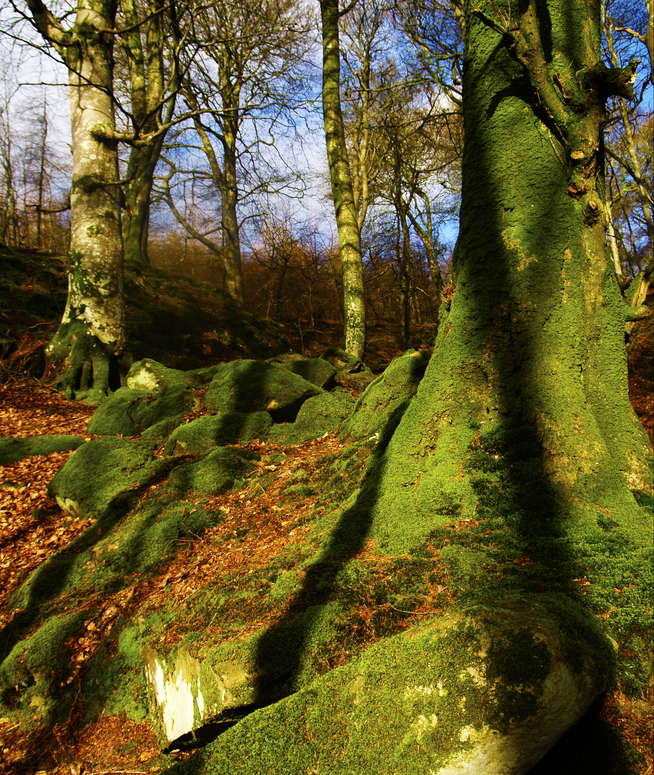
Ravensdale, which is situated beside Bellurgan, contains a number of wooded areas. The Ravensdale Forest nature trail is located in the wooded demesne of the former seat of the Barons Clermont, which straddles the border between County Armagh
County Armagh ( ) is one of the six counties of Northern Ireland and one of the traditional thirty-two counties of Ireland. It is located in the Provinces of Ireland, province of Ulster and adjoins the southern shore of Lough Neagh. It borders t ...
in Northern Ireland
Northern Ireland ( ; ) is a Countries of the United Kingdom, part of the United Kingdom in the north-east of the island of Ireland. It has been #Descriptions, variously described as a country, province or region. Northern Ireland shares Repub ...
and County Louth in the Republic of Ireland
Ireland ( ), also known as the Republic of Ireland (), is a country in Northwestern Europe, north-western Europe consisting of 26 of the 32 Counties of Ireland, counties of the island of Ireland, with a population of about 5.4 million. ...
. Ravensdale Park, also known as Ravensdale Castle, the 19th-century country house
image:Blenheim - Blenheim Palace - 20210417125239.jpg, 300px, Blenheim Palace - Oxfordshire
An English country house is a large house or mansion in the English countryside. Such houses were often owned by individuals who also owned a Townhou ...
itself, was one of a number of such country houses destroyed during the Irish revolutionary period. Burned in 1921, the stonework of the house was later dismantled and reused during the construction of the Church of St. Brigid in Glassdrummond in 1927.
The Flurry River, which flows through the area before entering Dundalk Bay
Dundalk Bay () is a large (33 km2), exposed estuary on the east coast of Ireland.
The inner bay is shallow, sandy and intertidal, though it slopes into a deeper area 2 km from the transitional water boundary.Coillte.ie - Ravensdale Forest
Townlands of County Louth Towns and villages in County Louth
Townlands of County Louth Towns and villages in County Louth