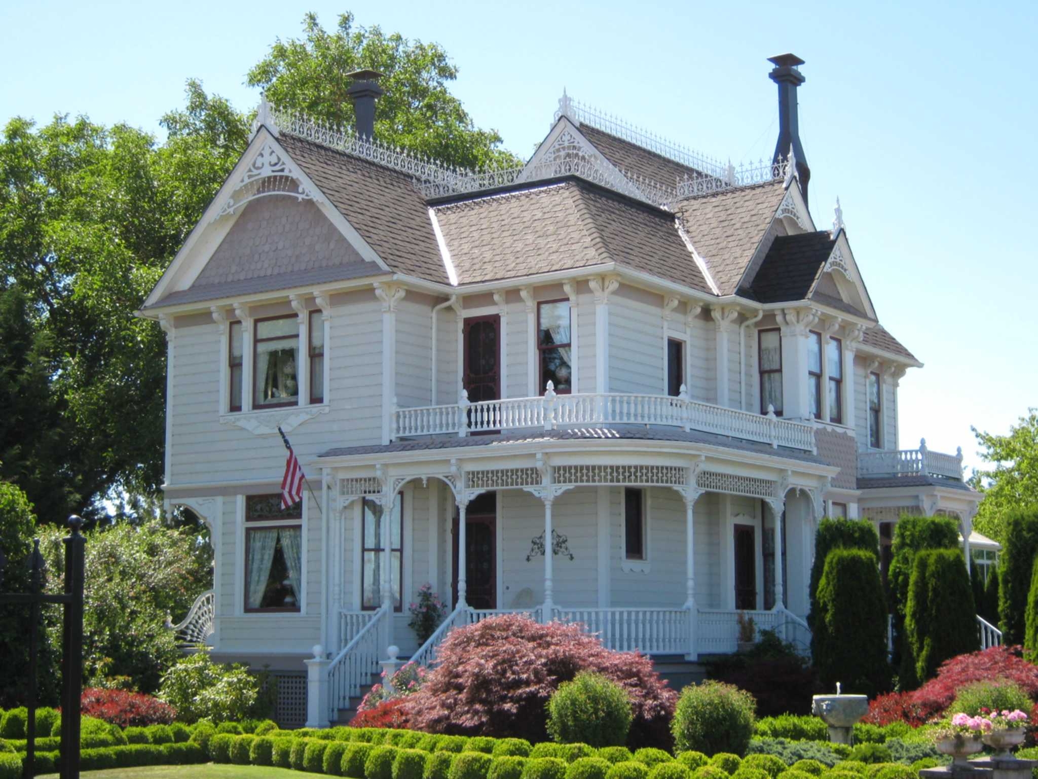
Perrydale, Oregon on:
[Wikipedia]
[Google]
[Amazon]
 Perrydale is an
Perrydale School District
official website
Historic photos of Perrydale
from Salem Public Library Salem, Oregon metropolitan area Unincorporated communities in Polk County, Oregon 1870 establishments in Oregon Populated places established in 1870 Unincorporated communities in Oregon {{PolkCountyOR-geo-stub
unincorporated community
An unincorporated area is a parcel of land that is not governed by a local general-purpose municipal corporation. (At p. 178.) They may be governed or serviced by an encompassing unit (such as a county) or another branch of the state (such as th ...
in Polk County, Oregon
Oregon ( , ) is a U.S. state, state in the Pacific Northwest region of the United States. It is a part of the Western U.S., with the Columbia River delineating much of Oregon's northern boundary with Washington (state), Washington, while t ...
, United States
The United States of America (USA), also known as the United States (U.S.) or America, is a country primarily located in North America. It is a federal republic of 50 U.S. state, states and a federal capital district, Washington, D.C. The 48 ...
. It is approximately 10 miles from Dallas
Dallas () is a city in the U.S. state of Texas and the most populous city in the Dallas–Fort Worth metroplex, the List of Texas metropolitan areas, most populous metropolitan area in Texas and the Metropolitan statistical area, fourth-most ...
. It is part of the Salem Metropolitan Statistical Area
The Salem metropolitan statistical area, as defined by the United States Census Bureau, is a metropolitan statistical area consisting of two counties in western Oregon, Marion and Polk. The principal city is Salem, the state capital, which has a ...
.
History
Perrydale was formed from the Townsend, Kinsey, and Butler donation land claims; the Townsend claim was deeded to Narcis Provo, who then deeded it to William Perry, after whom the community was named by John McGrew, who had bought Perry's claim andplat
In the United States, a plat ( or ) (plan) is a cadastral map, drawn to scale, showing the divisions of a piece of land. United States General Land Office surveyors drafted township plats of Public Lands Survey System, Public Lands Surveys to ...
ted the town of Perrydale. Beginning in 1881, the town was the site of a station on the Airlie branch of the Oregonian Railway Company
The Oregonian Railway was a narrow gauge railroad in the Willamette Valley in the U.S. state of Oregon.
History
A group of Scottish capitalists formed the Oregonian Railway Company, Limited after purchasing the bankrupt Dayton, Sheridan and Gr ...
. Rail service to Perrydale ended in 1985.
The Perrydale post office ran from 1870 until 1971. Today, locations in Perrydale have Amity, Oregon, mailing addresses.
Near Perrydale are the Perrydale Hills, a wine-growing location that was expected to become an American Viticultural Area
An American Viticultural Area (AVA) is a designated wine grape-growing region in the United States, providing an official appellation for the mutual benefit of winery, wineries and consumers. Winemakers frequently want their consumers to know abo ...
(AVA). The new AVA was instead named the Van Duzer Corridor AVA
Van Duzer Corridor is an American Viticultural Area (AVA) located within Polk County, Oregon, established by the Alcohol and Tobacco Tax and Trade Bureau on December 13, 2018 and effective January 14, 2019.
Van Duzer Corridor lies entirely with ...
, because there was a requirement that the name must appear in print, and although the locals know the area as Perrydale Hills, no print references could be found.
Education
Perrydale School District is a single-school district that serves Perrydale School.official website
References
External links
Historic photos of Perrydale
from Salem Public Library Salem, Oregon metropolitan area Unincorporated communities in Polk County, Oregon 1870 establishments in Oregon Populated places established in 1870 Unincorporated communities in Oregon {{PolkCountyOR-geo-stub