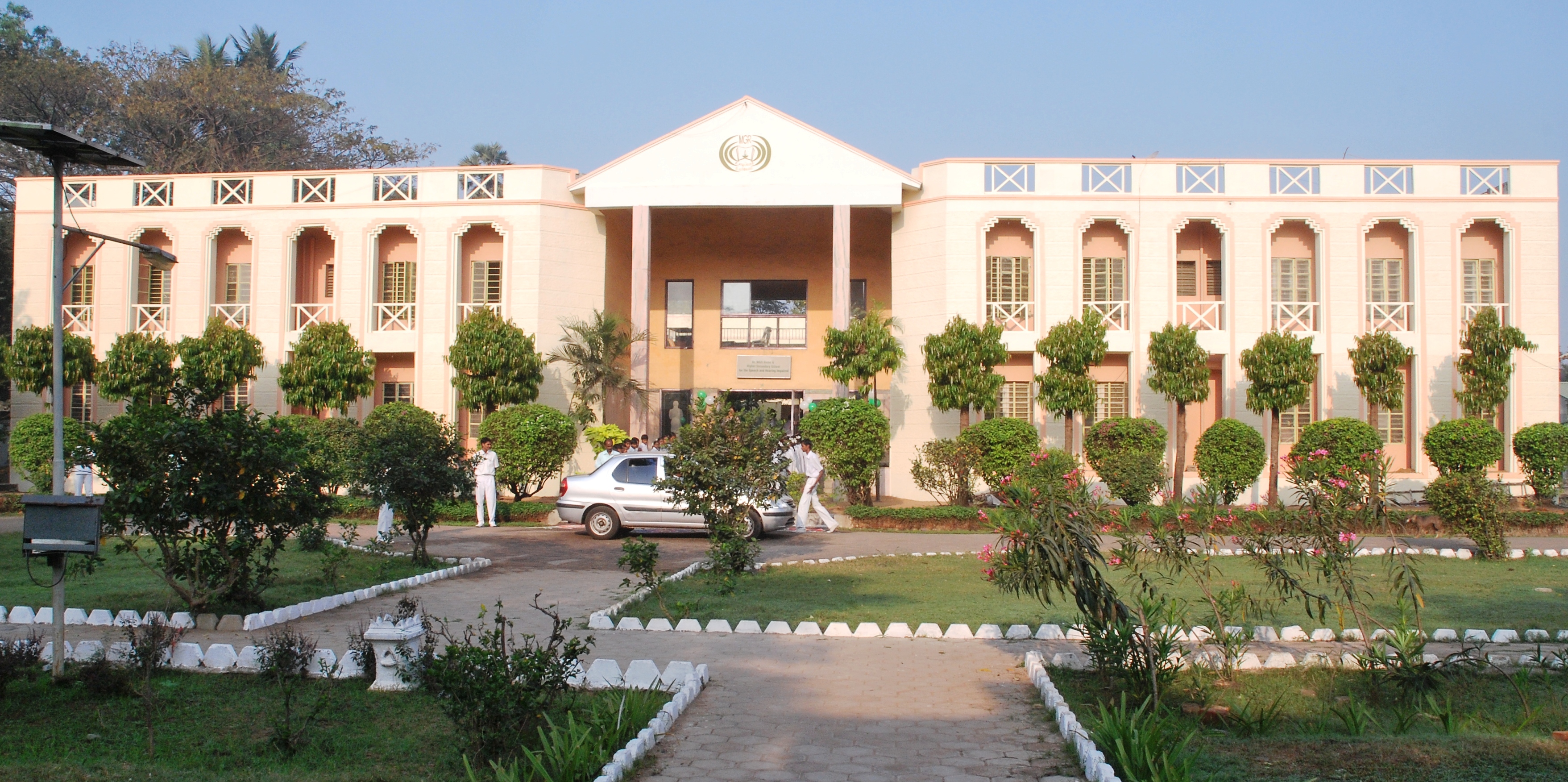
Mount-Poonamallee Road on:
[Wikipedia]
[Google]
[Amazon]
 St. Thomas Mount-Poonamallee Road, popularly known as the Mount-Poonamallee Road (SH-55), is an arterial road in the city of

Chennai
Chennai (, ), formerly known as Madras ( the official name until 1996), is the capital city of Tamil Nadu, the southernmost Indian state. The largest city of the state in area and population, Chennai is located on the Coromandel Coast of th ...
, India
India, officially the Republic of India (Hindi: ), is a country in South Asia. It is the seventh-largest country by area, the second-most populous country, and the most populous democracy in the world. Bounded by the Indian Ocean on the so ...
. It runs for 11 kilometres from Kathipara Junction to the NH 4 highway connecting St. Thomas Mount
Parangimalai (known in English as St. Thomas Mount) is a small hillock in Chennai, Tamil Nadu, India, near the neighbourhood of Guindy and very close to Chennai International Airport.
The ancient Syrian Christian community of India trace t ...
with the suburb of Poonamallee
Poonamallee is suburb of Chennai, India under the Chennai Metropolitan Area. It was historically called ''Pushpagirimangalam'', later renamed in Tamil as ''Poovirundhavalli'' (), and now colloquially called as ''Poondhamalli''. It is a town in ...
. About 5 kilometres of the Mount-Poonamallee Road is located in the Alandur taluk of Chennai district
Chennai district, formerly known as Madras district, is one of the 38 districts in the state of Tamil Nadu, India. It is the smallest and the most densely populated district in the state. The district is coterminous with the city of Chennai, w ...
, part of Maduravoyal Taluk
Maduravoyal taluk is a taluk of the city district of Chennai in the Indian state of Tamil Nadu. The centre of the taluk is the neighbourhood of Maduravoyal. The headquarters of the taluk is Ambattur division. On 4 January 2018, Chennai district ...
in Chennai district
Chennai district, formerly known as Madras district, is one of the 38 districts in the state of Tamil Nadu, India. It is the smallest and the most densely populated district in the state. The district is coterminous with the city of Chennai, w ...
and the remainder in the Poonamallee taluk
Poonamallee taluk is a taluk in Chennai City of Tiruvallur district of the Indian state of Tamil Nadu. The headquarters of the taluk is the town of Poonamallee
Poonamallee is suburb of Chennai, India under the Chennai Metropolitan Area. It ...
of Thiruvallur district.
Features
The road is divided into two sections. The first section from St. Thomas Mount to Nandambakkam covering a distance of one kilometre is more narrow than the rest of the stretch and is known as Butt Road.
Places transversed
*St. Thomas Mount
Parangimalai (known in English as St. Thomas Mount) is a small hillock in Chennai, Tamil Nadu, India, near the neighbourhood of Guindy and very close to Chennai International Airport.
The ancient Syrian Christian community of India trace t ...
* Nandambakkam
Nandambakkam is a western neighbourhood of Chennai, India. It is known for the Chennai Trade Centre and the Surgical Instruments Factory. In 2011 Nandambakkam was included to Chennai district by the Government of Tamil Nadu.
Geography
Nandam ...
* Ramapuram
* Manapakkam
Manapakkam is a suburb of Chennai in the Indian state of Tamil Nadu. A census town, Manapakkam is located along the Mount-Poonamallee Road in Chennai. It is now a home to many IT companies
like DLF Cybercity Chennai and Larsen & Toubro. Manap ...
* Mugalivakkam
Mugalivakkam is a neighbourhood of Chennai. It is situated 16 km south-west of Chennai on the Mount-Poonamallee Road. It is bounded by Porur on the North Meenambakkam and Manapakkam on the South and South East, Madhanandhapuram and Gerug ...
* Porur
Porur () is a neighbourhood of Chennai, India. It is situated in the Maduravoyal taluk of Chennai district in the southern part of the city. Since 2011, it has been a part of the Chennai Corporation and included in zone number 11.
The earliest ...
* Iyyappanthangal
Iyyappanthangal is a western neighborhood of Chennai, Tamilnadu, India. It comes under Mangadu Municipality of Chennai Metropolitan Area (CMA), governed by CMDA. It is located away from Fort St George on the Mount-Poonamallee Road. The neares ...
* Kattupakkam
* Karayanchavadi
* Kumananchavadi
* Poonamallee
Poonamallee is suburb of Chennai, India under the Chennai Metropolitan Area. It was historically called ''Pushpagirimangalam'', later renamed in Tamil as ''Poovirundhavalli'' (), and now colloquially called as ''Poondhamalli''. It is a town in ...
See also
*Transport in Chennai
Transport in Chennai includes various modes of air, sea, road and rail transportation in the city and its suburbs. Chennai's economic development has been closely tied to its port and transport infrastructure, and it is considered one of the best ...
References
* {{Transport in Chennai Roads in Chennai