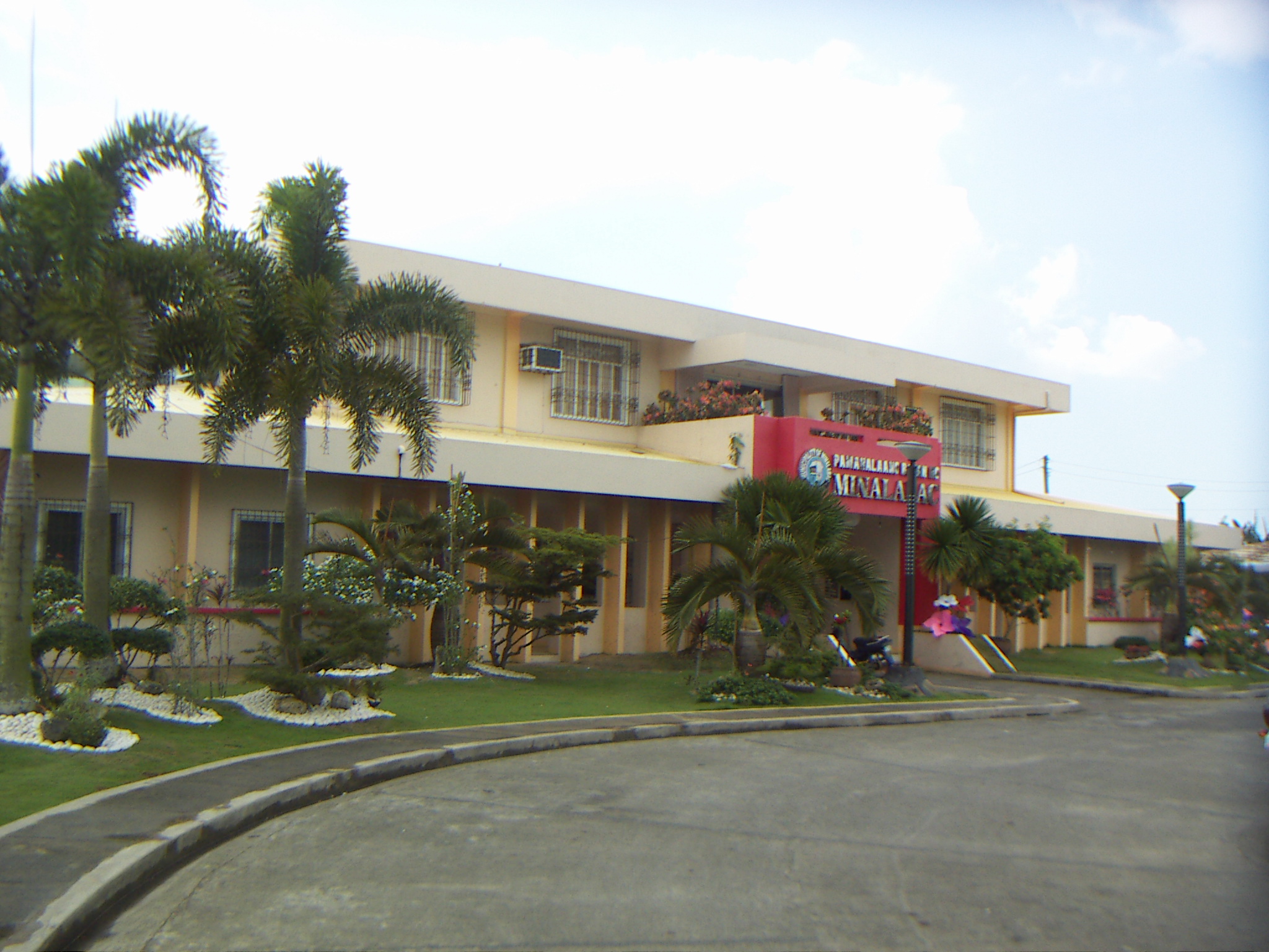
Minalabac, Camarines Sur on:
[Wikipedia]
[Google]
[Amazon]
Minalabac, officially the Municipality of Minalabac (, ), is a First Class (as of 2025) municipality in the

Official Site of the Province of Camarines Sur
Municipalities of Camarines Sur Metro Naga Long stubs with short prose {{BicolR-geo-stub
province
A province is an administrative division within a country or sovereign state, state. The term derives from the ancient Roman , which was the major territorial and administrative unit of the Roman Empire, Roman Empire's territorial possessions ou ...
of Camarines Sur
Camarines Sur (; ), officially the Province of Camarines Sur (Central Bikol language, Bikol: ''Probinsya kan Habagatan na Camarines''; ), is a Provinces of the Philippines, province in the Philippines located in the Bicol Region on Luzon. Its ca ...
, Philippines
The Philippines, officially the Republic of the Philippines, is an Archipelagic state, archipelagic country in Southeast Asia. Located in the western Pacific Ocean, it consists of List of islands of the Philippines, 7,641 islands, with a tot ...
. According to the 2020 census, it has a population of 53,981 people.
Geography
Barangays
Minalabac is politically subdivided into 25 barangays. Each barangay consists ofpurok
A ''purok'' () is an informal division within a barangay in the Philippines. While not officially considered a local government unit (LGU), a ''purok'' often serves as a unit for delivering services and administration within a barangay. ''Pur ...
s and some have sitios
A ''sitio'' (Spanish language, Spanish for "site") in the Philippines is a territorial enclave that forms part of a barangay. Typically rural, a ''sitios location is usually far from the center of the barangay itself and could be its own bar ...
.
Climate
Demographics
In the 2020 census, the population of Minalabac was 53,981 people, with a density of .Economy
Minalabac is classified as a municipality. Minalabac has the same economy as Libmanan, Cabusao, San Fernando, Milaor, Ocampo, Nabua, and Calabanga because of fishing in coastal barangays near Ragay Gulf particularly Salingogon, and Bagolatao. Minalabac has several beach resorts that also boosts the economy of the town. Majority of the land is devoted to rice, vegetables and other root crops.Transportation
Jeepneys are used for transportation from Naga City to Minalabac (Vice Versa), and from LCC Terminal in Sabang, Naga City to the market of Minalabac. It is the main transportation for public use.Infrastructures
The town has a couple of provincial roads. The main road in the town is the Milaor-Minalabac-Pili road and the other roads either goes to the Poblacion, other barangays, to Rinconada district, or even Albay.Tourism
Two main summer beach destinations include the pebble beach in Bagolatao and sand beach in Hamoraon. The growing number of resorts offers amenities such as cottages, videoke, rest house, etc.Government

Elected officials
References
External links
*Philippine Standard Geographic Code The Philippine Standard Geographic Code (PSGC) is a systematic classification and coding for geographic areas in the Philippines. It classifies areas based on the country's four levels of administrative divisions: regions, provinces, municipalities ...
br>Philippine Census InformationMunicipalities of Camarines Sur Metro Naga Long stubs with short prose {{BicolR-geo-stub