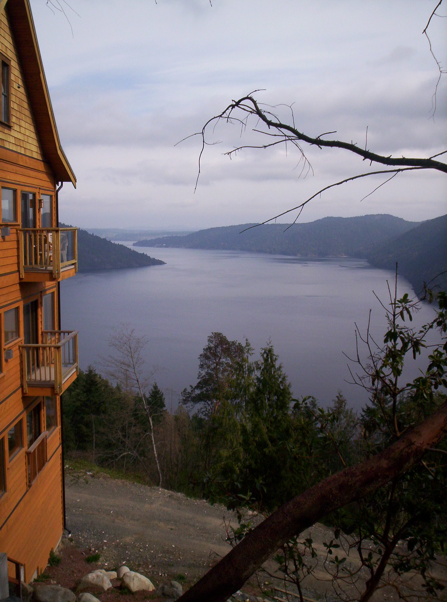
Malahat, British Columbia on:
[Wikipedia]
[Google]
[Amazon]
 Malahat () is an
 Malahat () is an
 unincorporated area
An unincorporated area is a parcel of land that is not governed by a local general-purpose municipal corporation. (At p. 178.) They may be governed or serviced by an encompassing unit (such as a county) or another branch of the state (such as th ...
in the Cowichan Valley
The Cowichan Valley is a region around the Cowichan River, Cowichan Bay and Cowichan Lake on Vancouver Island, in British Columbia, Canada. There is some debate as to the origin of the name Cowichan, which many believe to be an anglicized for ...
, with municipal-type services delivered by the Cowichan Valley Regional District
The Cowichan Valley Regional District is a regional district in the Canadian province of British Columbia that is on the southern part of Vancouver Island, bordered by the Nanaimo and Alberni-Clayoquot Regional Districts to the north and north ...
(Area A). What could be considered the hub of the community is a small collection of businesses that includes the Malahat Gas station (which also serves as the Malahat Post Office) and the Malahat Chalet and the Moon Water Lodge.
A steep and rugged terrain has in the past precluded any significant residential development but new subdivisions are being built around the northern end of the area around the old Bamberton cement works and in the area adjoining Elkington Forest. Most area residents live in isolated homes located off the highway. In this context "Malahat" primarily refers to the Canada Post
Canada Post Corporation (, trading as Canada Post (), is a Canadian Crown corporation that functions as the primary postal operator in Canada.
Originally known as Royal Mail Canada (the operating name of the Post Office Department of the Can ...
delivery district.
Fire protection to the Malahat area is provided by Malahat Fire Rescue.
Malahat Drive
"The Malahat" is a term commonly applied to the Malahat Drive, a portion of Trans Canada Highway 1 running along the west side ofSaanich Inlet
Saanich Inlet (also Saanich Arm) is a body of salt water that lies between the Saanich Peninsula and the Malahat, British Columbia, Malahat highlands of Vancouver Island, British Columbia, Canada. Located just northwest of Victoria, British Colum ...
and to the region surrounding it. The first connection between Greater Victoria and the Cowichan District was inland, and was cut as a cattle trail in 1861 and was then upgraded to wagon road standards in 1884. Today's Malahat Drive was opened in 1911, originally surfaced with gravel. Its name comes from the Malahat First Nation, whose ancestors used the caves for spiritual enhancement. The Malahat Drive climbs to a summit of , and the mountain is considered one of the most sacred sites on southern Vancouver Island
Vancouver Island is an island in the northeastern Pacific Ocean and part of the Canadian province of British Columbia. The island is in length, in width at its widest point, and in total area, while are of land. The island is the largest ...
.
The roadway has a mix of 2, 3 and 4 lane cross-sections. The highway through the narrow Goldstream Provincial Park
Goldstream Provincial Park is a provincial park in British Columbia, Canada. It is known for the annual fall salmon runs in the Goldstream River, and the large numbers of bald eagles that congregate to feed at that time. The total size of the p ...
canyon section is 2 lanes.
The Malahat portion of Highway 1 has been the location of a number of fatal traffic accidents, caused largely by vehicles crossing the centre line. These accidents have led to lengthy road closures. Closure of Malahat Drive causes disruption to travel and commerce on Vancouver Island as portions of the highway are a single point of failure
A single point of failure (SPOF) is a part of a system that would Cascading failure, stop the entire system from working if it were to fail. The term single point of failure implies that there is not a backup or redundant option that would enab ...
if closed. Detour routes around the Malahat Drive are available via the Brentwood Bay-Mill Bay ferry and the Pacific Marine Circle Route.
As a result of these crashes, the Ministry of Transportation has begun a program to add centre concrete medians to separate north and southbound traffic. Since the section between Finlayson Arm Road to Summit has had a median added, 65% of Malahat Drive is divided with a concrete median.
The speed limit of this highway segment is except for a short section of Tunnel Hill where the speed limit is .
References
{{coord, 48, 32, N, 123, 33, W, region:CA_type:city_source:GNS-enwiki, display=title Unincorporated settlements in British Columbia Southern Vancouver Island Populated places in the Cowichan Valley Regional District