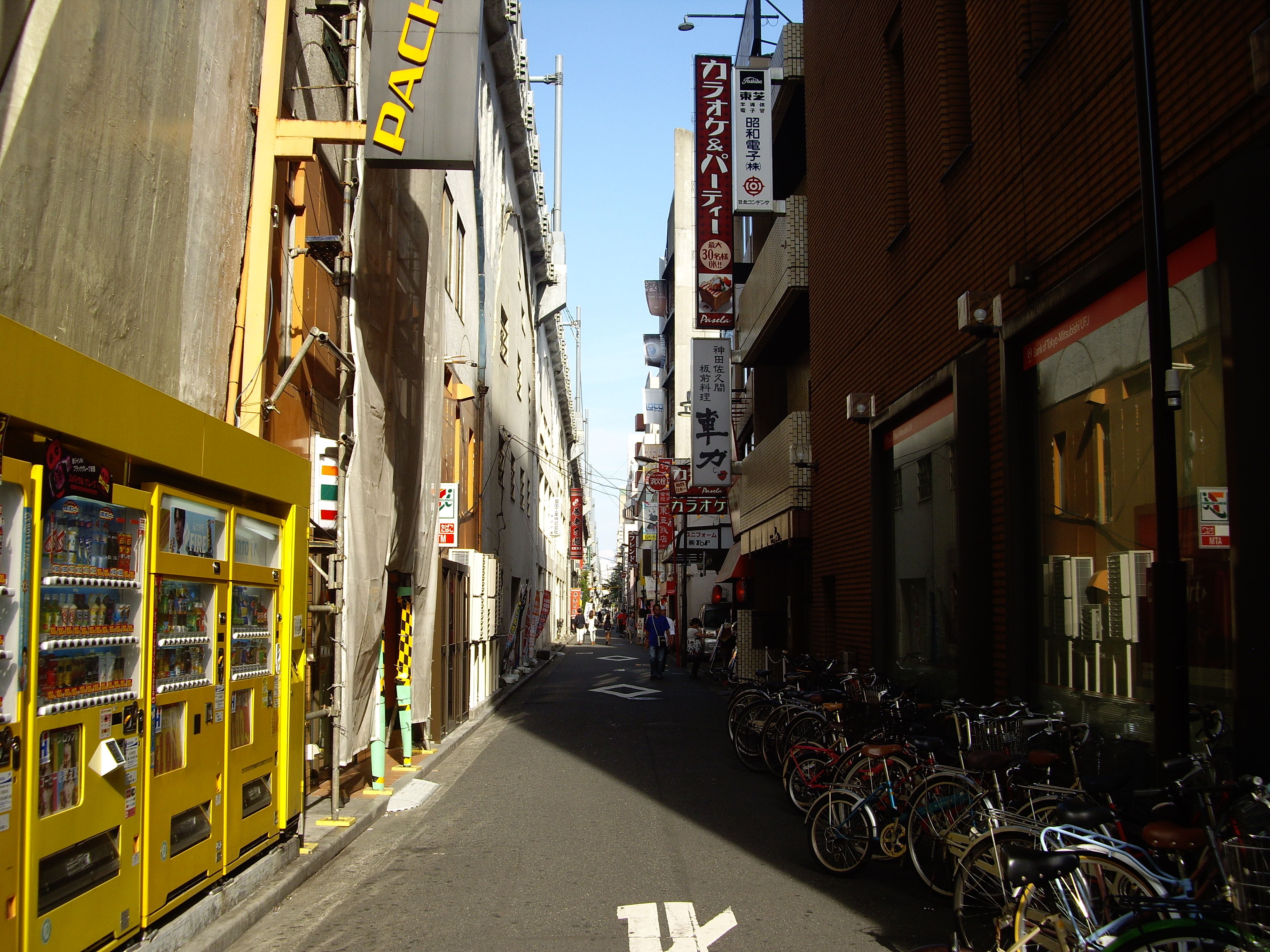
Kanda-Hirakawachō on:
[Wikipedia]
[Google]
[Amazon]
 is a
is a
district
A district is a type of administrative division that in some countries is managed by the local government. Across the world, areas known as "districts" vary greatly in size, spanning regions or county, counties, several municipality, municip ...
of Chiyoda, Tokyo
Tokyo, officially the Tokyo Metropolis, is the capital of Japan, capital and List of cities in Japan, most populous city in Japan. With a population of over 14 million in the city proper in 2023, it is List of largest cities, one of the most ...
, Japan
Japan is an island country in East Asia. Located in the Pacific Ocean off the northeast coast of the Asia, Asian mainland, it is bordered on the west by the Sea of Japan and extends from the Sea of Okhotsk in the north to the East China Sea ...
. As of April 1, 2007, its population is 16. Its postal code is 101-0027. Note that Hirakawachō, also located in the Chiyoda ward, is a completely different district.
Kanda-Hirakawachō is located in the northeastern part of the Chiyoda ward. It borders Kanda-Sakumachō 2-chōme
The Japanese addressing system is used to identify a specific location in Japan.
When written in Japanese characters, addresses start with the largest geographical entity and proceed to the most specific one. The Japanese system is complex, th ...
to the north, east and south. It borders Kanda-Sakumachō 1-chōme to the west, the Showa-Dōri Avenue forming its western boundary.
Education
operates public elementary and junior high schools. Izumi Elementary School (千代田区立和泉小学校) is the zoned elementary school for Kanda-Hirakawachō. There is a freedom of choice system for junior high schools in Chiyoda Ward. So there are no specific junior high school zones.References
{{DEFAULTSORT:Kanda-Hirakawacho Districts of Chiyoda, Tokyo