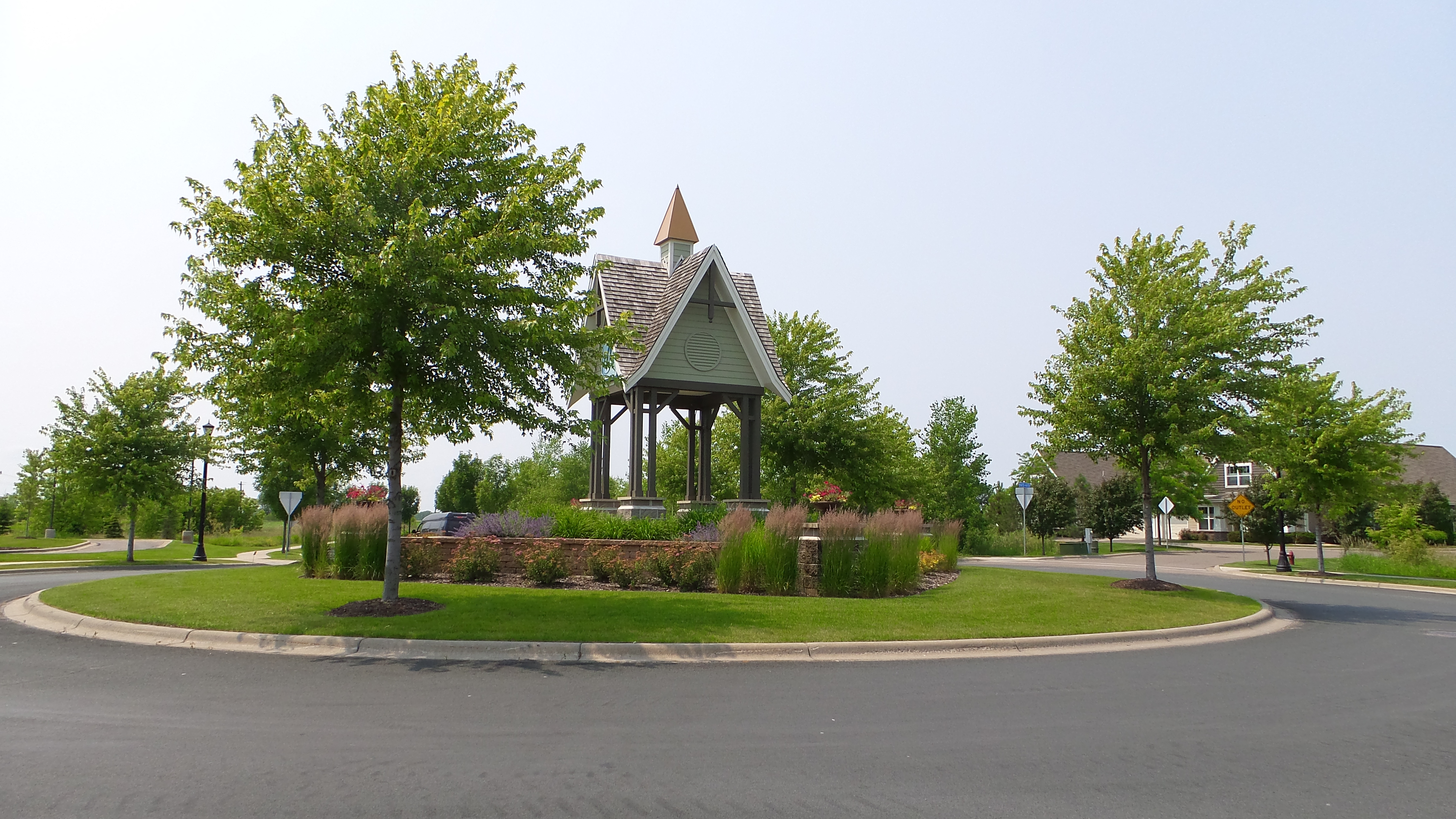
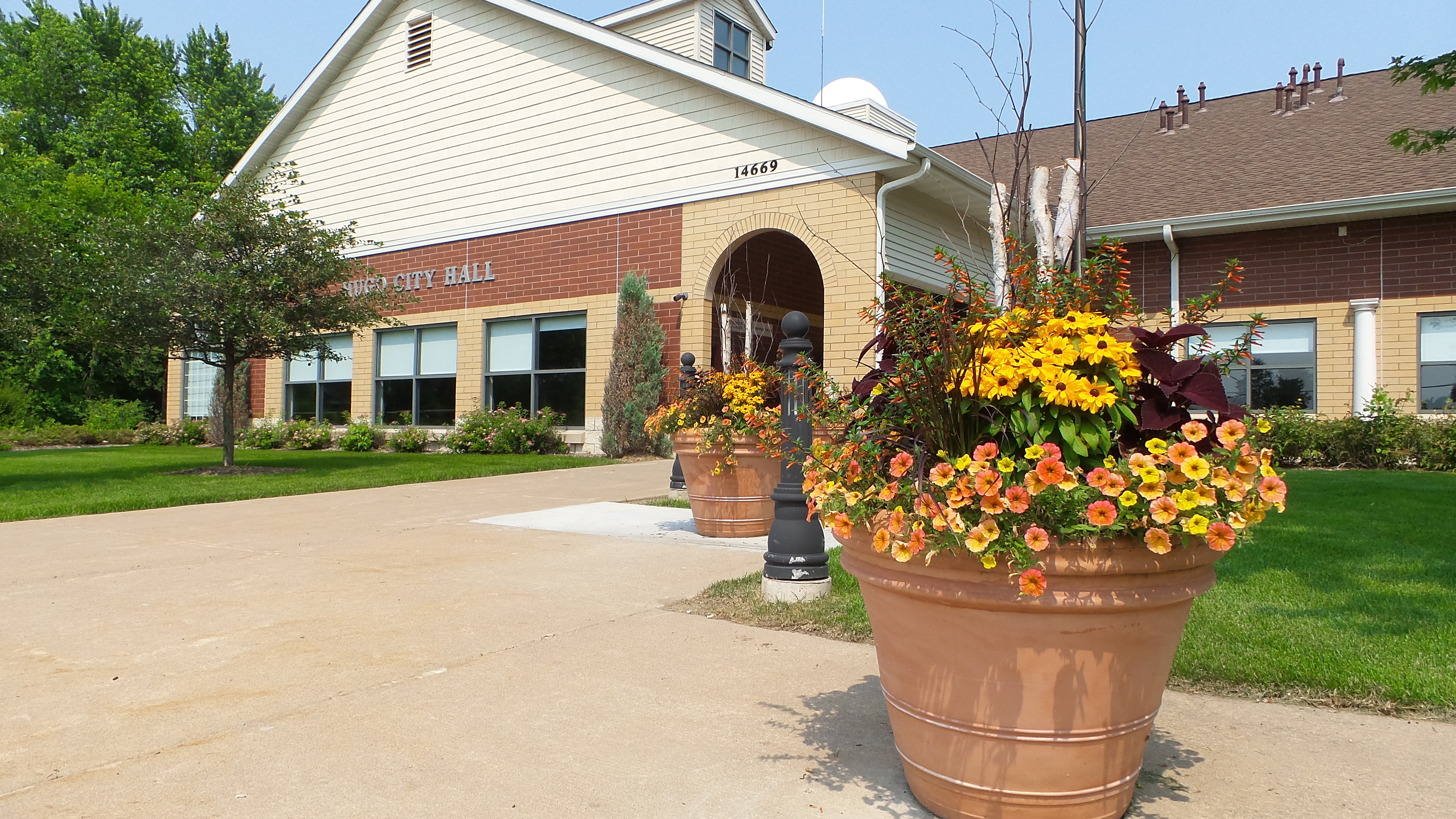
Hugo, Minnesota on:
[Wikipedia]
[Google]
[Amazon]

 Hugo ( ) is a city north of downtown

City website''The Citizen'' newspaper site
{{Authority control Cities in Minnesota Cities in Washington County, Minnesota Populated places established in 1850 1850 establishments in Minnesota Territory

 Hugo ( ) is a city north of downtown
 Saint Paul
Paul, also named Saul of Tarsus, commonly known as Paul the Apostle and Saint Paul, was a Christian apostle ( AD) who spread the teachings of Jesus in the first-century world. For his contributions towards the New Testament, he is generally ...
in Washington County in the U.S. state
In the United States, a state is a constituent political entity, of which there are 50. Bound together in a political union, each state holds governmental jurisdiction over a separate and defined geographic territory where it shares its so ...
of Minnesota
Minnesota ( ) is a U.S. state, state in the Upper Midwestern region of the United States. It is bordered by the Canadian provinces of Manitoba and Ontario to the north and east and by the U.S. states of Wisconsin to the east, Iowa to the so ...
. The population was 14,767 at the 2020 census. The city lies north of White Bear Lake on the border of the metropolitan boundary. Hugo and nearby suburbs comprise the northeast portion of Minneapolis-St. Paul, the sixteenth largest metropolitan area
A metropolitan area or metro is a region consisting of a densely populated urban area, urban agglomeration and its surrounding territories which share Industry (economics), industries, commercial areas, Transport infrastructure, transport network ...
in the United States.
The city's largest lake, Oneka Lake, is named for the Dakota
Dakota may refer to:
* Dakota people, a sub-tribe of the Sioux
** Dakota language, their language
Dakota may also refer to:
Places United States
* Dakota, Georgia, an unincorporated community
* Dakota, Illinois, a town
* Dakota, Minnesota ...
word "onakan," which means "to strike or knock off," rice into a canoe. Just south is Rice Lake where Mdewakanton
The Mdewakanton or Mdewakantonwan (also spelled ''Mdewákhaŋthuŋwaŋ'' and currently pronounced ''Bdewákhaŋthuŋwaŋ'') are one of the sub-tribes of the Isanti (Santee) Dakota people, Dakota (Sioux). Their historic home is Mille Lacs Lake (Da ...
Dakota from Mendota gathered wild rice.
History
Originally settled by French Canadians, Hugo early on established itself as a refueling station for theLake Superior and Mississippi Railroad
The Lake Superior and Mississippi Railroad is the name of two railroads in Minnesota: a freight and passenger line that operated from 1870 to 1877 and a Heritage railway, heritage railroad that has operated since 1981.
Historic railroad
The Lake ...
(later the Northern Pacific Railway
The Northern Pacific Railway was an important American transcontinental railroad that operated across the northern tier of the Western United States, from Minnesota to the Pacific Northwest between 1864 and 1970. It was approved and chartered b ...
). Located in Oneka township, the community was first named Centerville Station and finally Hugo. The naming of Hugo is still uncertain. Local histories point to the French novelist, Victor Hugo
Victor-Marie Hugo, vicomte Hugo (; 26 February 1802 – 22 May 1885) was a French Romanticism, Romantic author, poet, essayist, playwright, journalist, human rights activist and politician.
His most famous works are the novels ''The Hunchbac ...
, as its namesake due to the abundance of French-Canadian settlers in the area and the writer's tremendous popularity at the time. Duluth mayor, Trevanion William Hugo, is also said to have given Hugo its name; however, the name "Hugo" was already being used by the village post office before Trevanion Hugo emigrated from Canada. The Oneka Township surrounding the area was also named by the French-Canadians settling the area. Oneka was derived from the Dakota word "onakan" meaning to strike or knock off rice into a canoe. The village incorporated in 1906 and was officially incorporated as a city in 1972. After 2000, Hugo had absorbed significant suburban growth and development to become the thriving city it is today.

Geography
According to theUnited States Census Bureau
The United States Census Bureau, officially the Bureau of the Census, is a principal agency of the Federal statistical system, U.S. federal statistical system, responsible for producing data about the American people and American economy, econ ...
, the city has a total area of ; is land and is water.
The city is bound by Elmcrest Avenue North on its west, Keystone Avenue North on its east, 180th Street North on its north, and 120th Street North on its south. A major route within the city is U.S. Highway 61
U.S. Route 61 or U.S. Highway 61 (U.S. 61) is a major United States highway that extends between New Orleans, Louisiana and the city of Wyoming, Minnesota. The highway generally follows the course of the Mississippi River and is designat ...
, which runs north–south. Interstate 35E is not within the city limits, but is heavily used by Hugo residents. It is located just west of Hugo. Washington County Road 8/Anoka County Road 14 connects U.S. 61 to Interstate 35E.
Demographics
2020 census
At the 2020 census there were 15, 766 people in 5,512 households. The population per square mile is not updated in the most recent census. The racial makeup of the city was 94.7% White, 1.0% African American, 0.0% Native American, 2.4% Asian, and 1.8% from two or more races. Hispanic or Latino of any race were 2.9%. Of the 5,512 households 40.4% had children under the age of 18 living with them, 60.8% were married couples living together, 9.2% had a female householder with no husband present, 4.2% had a male householder with no wife present, and 25.8% were non-families. 19.6% of households were one person and 3.8% were one person aged 65 or older. The average household size was 2.67 and the average family size was 3.09. 25.9% of the population was under 18 years of age, 7.3% under 5, and 11.6% over 65. The population of Hugo is also 51% female.2010 census
At the 2010 census there were 13,332 people in 4,990 households, including 3,704 families, in the city. The population density was . There were 5,189 housing units at an average density of . The racial makeup of the city was 94.2% White, 0.7% African American, 0.3% Native American, 3.1% Asian, 0.6% from other races, and 1.0% from two or more races. Hispanic or Latino of any race were 2.2%. Of the 4,990 households 40.4% had children under the age of 18 living with them, 60.8% were married couples living together, 9.2% had a female householder with no husband present, 4.2% had a male householder with no wife present, and 25.8% were non-families. 19.6% of households were one person and 3.8% were one person aged 65 or older. The average household size was 2.67 and the average family size was 3.09. The median age was 33.7 years. 27.9% of residents were under the age of 18; 6.3% were between the ages of 18 and 24; 33.9% were from 25 to 44; 24.2% were from 45 to 64; and 7.8% were 65 or older. The gender makeup of the city was 49.2% male and 50.8% female.2000 census
At the 2000 census there were 6,363 people in 2,125 households, including 1,742 families, in the city. The population density was . There were 2,174 housing units at an average density of . The racial makeup of the city was 97.76% White, 0.18% African American, 0.42% Native American, 1.03% Asian, 0.05% Pacific Islander, 0.20% from other races, and 0.53% from two or more races. Hispanic or Latino of any race were 1.05%. Of the 2,125 households 45.1% had children under the age of 18 living with them, 71.5% were married couples living together, 6.7% had a female householder with no husband present, and 18.0% were non-families. 12.7% of households were one person and 2.6% were one person aged 65 or older. The average household size was 2.99 and the average family size was 3.30. The age distribution was 31.3% under the age of 18, 6.5% from 18 to 24, 34.6% from 25 to 44, 22.7% from 45 to 64, and 4.9% 65 or older. The median age was 34 years. For every 100 females, there were 104.7 males. For every 100 females age 18 and over, there were 105.6 males. The median household income was $63,450 and the median family income was $65,222. Males had a median income of $44,069 versus $31,110 for females. The per capita income for the city was $24,334. About 1.4% of families and 1.5% of the population were below thepoverty line
The poverty threshold, poverty limit, poverty line, or breadline is the minimum level of income deemed adequate in a particular country. The poverty line is usually calculated by estimating the total cost of one year's worth of necessities for ...
, including 0.9% of those under age 18 and 6.1% of those age 65 or over.
Notable people
* Chris Brisson (born 1982) – soccer player * Bob Kroll (born 1956) –Minneapolis Police Department
The Minneapolis Police Department (MPD) is the primary law enforcement agency in Minneapolis, Minnesota, United States. It is also the largest police department in Minnesota. Formed in 1867, it is the second-oldest police department in Minnesota ...
lieutenant and president of the Police Officers Federation of Minneapolis
See also
*Withrow, Minnesota
Withrow is an Unincorporated area#United States, unincorporated community located in the city of Grant, Minnesota, Grant, Washington County, Minnesota, United States. Formerly an unincorporated village on the edge of the Minneapolis–St. Paul m ...
References
External links
City website
{{Authority control Cities in Minnesota Cities in Washington County, Minnesota Populated places established in 1850 1850 establishments in Minnesota Territory