Horikawa, Kyoto on:
[Wikipedia]
[Google]
[Amazon]


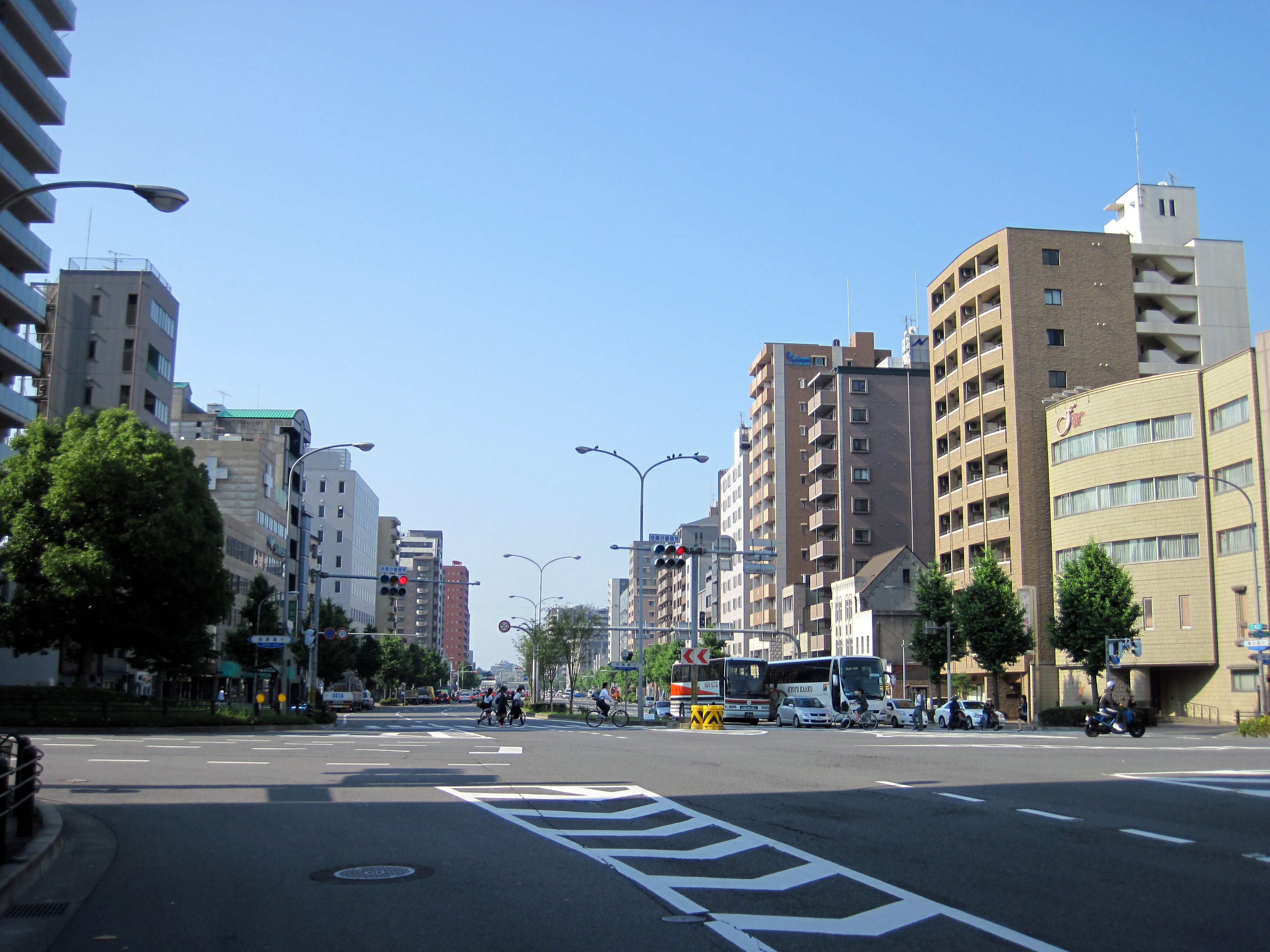
 Horikawa Street (堀川通 ほりかわどおり ''Horikawa dōri'') is one of the major streets running from north to south in the city of
Urasenke Chado Research Center
Nishijin Textile Center
Streets in Kyoto

 Horikawa Street (堀川通 ほりかわどおり ''Horikawa dōri'') is one of the major streets running from north to south in the city of
 Kyoto
Kyoto ( or ; Japanese language, Japanese: , ''Kyōto'' ), officially , is the capital city of Kyoto Prefecture in the Kansai region of Japan's largest and most populous island of Honshu. , the city had a population of 1.46 million, making it t ...
, Japan
Japan is an island country in East Asia. Located in the Pacific Ocean off the northeast coast of the Asia, Asian mainland, it is bordered on the west by the Sea of Japan and extends from the Sea of Okhotsk in the north to the East China Sea ...
. It extends about 8 km from the Misono-bashi bridge near the Kamigamo Shrine (north) to Hachijō Street, near Kyoto Station
Kyoto ( or ; Japanese language, Japanese: , ''Kyōto'' ), officially , is the capital city of Kyoto Prefecture in the Kansai region of Japan's largest and most populous island of Honshu. , the city had a population of 1.46 million, making it t ...
(south).
History
In the past, the street was divided in two by the Horikawa river, being the Higashi Horikawa Street on the west side and the Nishi Horikawa Street on the east side, having both the same width. During the period between 1895 and 1961 the ''Kyōto Denki Tetsudō''tram
A tram (also known as a streetcar or trolley in Canada and the United States) is an urban rail transit in which Rolling stock, vehicles, whether individual railcars or multiple-unit trains, run on tramway tracks on urban public streets; some ...
line operated between the intersection of Horikawa and Nakadachiuri streets, and the intersection of Shijō Street
runs in the center of Kyoto, Japan from east to west through the commercial center of the city. Shijō literally means ''Fourth Avenue'' of Heian-kyō, the ancient capital.
History
The section between Shinkyōgoku street and the vicini ...
and Horikawa street. During WWII
World War II or the Second World War (1 September 1939 – 2 September 1945) was a World war, global conflict between two coalitions: the Allies of World War II, Allies and the Axis powers. World War II by country, Nearly all of the wo ...
, the houses along Nishi Horikawa Street were removed in order to create a firewall and, due to later city planning, it was expanded, eventually becoming a highway. In March of 2009, a construction project to improve the condition of the Horikawa river was completed, restoring the clear stream and creating a promenade with benches and open spaces.
Relevant landmarks along the street
Source: * Honpō-ji Temple * UrasenkeChado
The Japanese tea ceremony (known as or lit. 'Hot water for tea') is a Culture of Japan, Japanese cultural activity involving the ceremonial preparation and presentation of , powdered green tea, the procedure of which is called .
The term "Japa ...
Research Center (裏千家茶道資料館)
* Nishijin
is a district in Kyoto spanning from Kamigyō ward to Kita ward. Though it is well known as a district, there is no administrative area called "Nishijin".(jaWhat is Nishijin?/ref> Nishijin is notable for its textile production, and is the birt ...
Textile Center
* Seimei Shrine
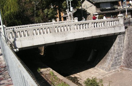
*Ichijō Modori Bashi (一条戻橋)
*Horikawa Shopping Street (堀川商店街)
* Nijō Castle
is a flatland Japanese castle, castle in Kyoto, Japan. The castle consists of two concentric rings (Kuruwa) of fortifications, the Ninomaru Palace, the ruins of the Honmaru Palace, various support buildings and several gardens. The surface area ...
* Hotel Ana Crowne Plaza Kyoto
* Nijōjō-mae Subway Station
* Nakagyō-ku Ward Office
* Kyoto Tokyu Hotel
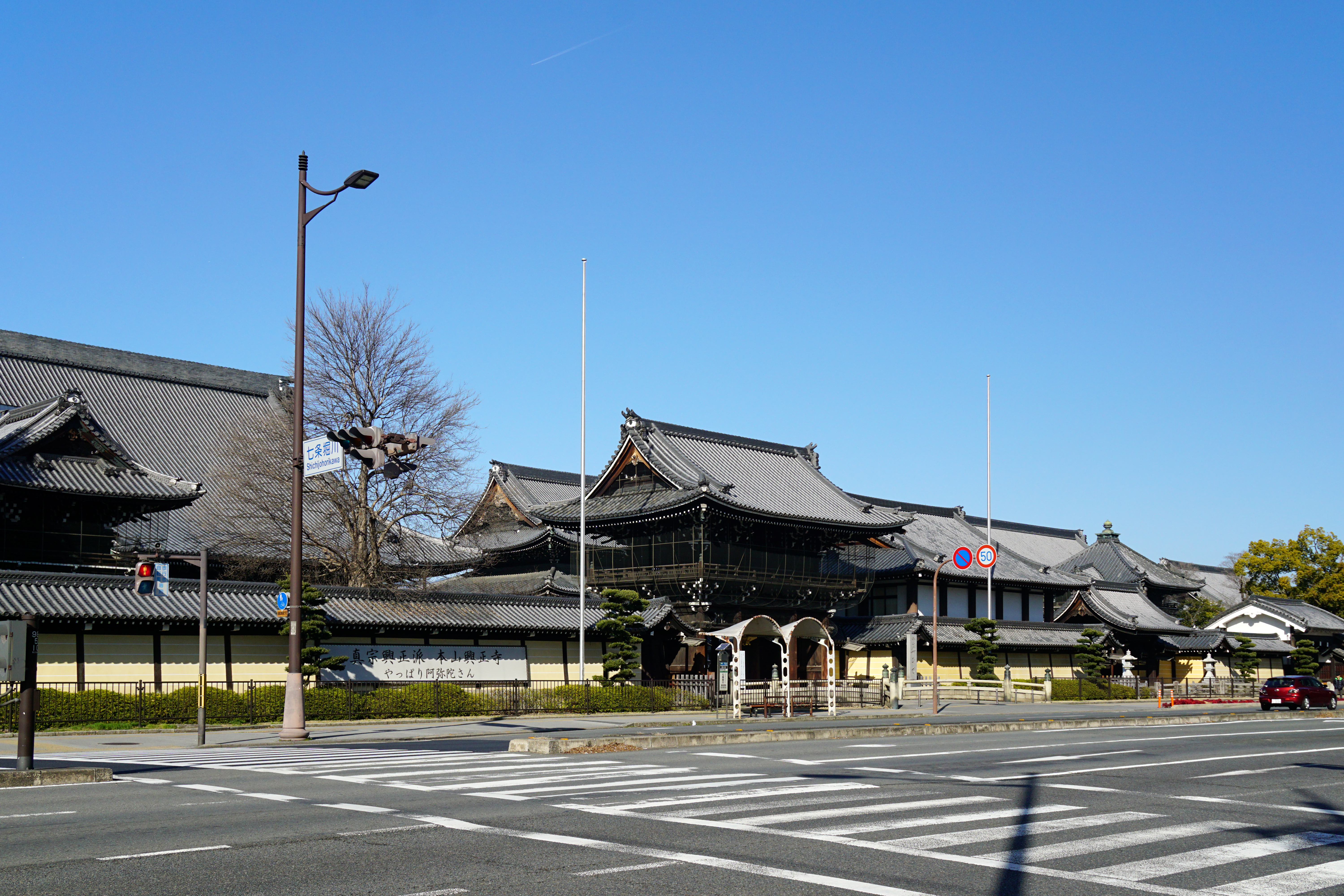
* Nishi Hongan-ji Temple
* Rihga Royal Hotel Kyoto
References
{{reflistLinks
Urasenke Chado Research Center
Nishijin Textile Center
Streets in Kyoto