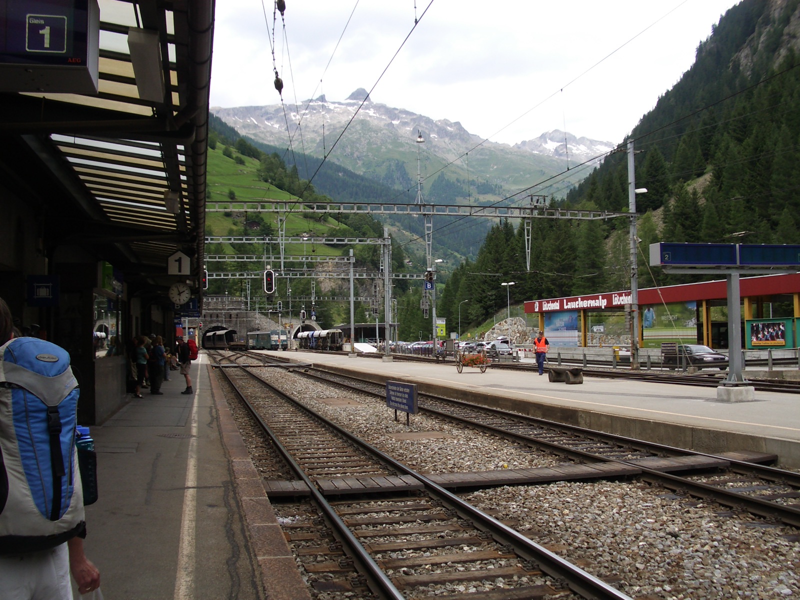
Goppenstein on:
[Wikipedia]
[Google]
[Amazon]
Goppenstein (1,216 m) is a Swiss hamlet in the canton of  Goppenstein is mainly known for its railway station on the
Valais
Valais ( , , ; frp, Valês; german: Wallis ), more formally the Canton of Valais,; german: Kanton Wallis; in other official Swiss languages outside Valais: it, (Canton) Vallese ; rm, (Chantun) Vallais. is one of the 26 cantons forming the S ...
, located in the lower Lötschental
The Lötschental is the largest valley on the northern side of the Rhône valley in the canton of Valais in Switzerland. It lies in the Bernese Alps, with the Lonza running down the length of the valley from its source within the Langgletsche ...
and traversed by the Lonza river. It belongs to the municipality of Ferden
Ferden is a municipality in the district of Raron in the canton of Valais in Switzerland. Besides the village of Ferden itself, the municipality includes the hamlet of Goppenstein, and the alpine settlements of Faldum, Resti and Kummen.
History
F ...
.
 Goppenstein is mainly known for its railway station on the
 Lötschberg railway line
The Lötschberg is an Alpine mountain massif and usually associated with a major, historically important transit axis of the Alps in Switzerland with, at its core, the Lötschen Pass (german: Lötschenpass, Swiss German: ''Lötschepass''). The mou ...
, at the southern entrance of the Lötschberg Tunnel
, line = Lötschberg Line
, location = Circumventing the Lötschen Pass in the Bernese Alps in Switzerland(Canton of Bern, canton of Valais)
, coordinates = –
, system = BLS, SBB CFF FFS
, status =
, st ...
leading to Kandersteg
Kandersteg is a municipality in the Frutigen-Niedersimmental administrative district in the canton of Bern in Switzerland. It is located along the valley of the River Kander, west of the Jungfrau massif. It is noted for its spectacular mountai ...
. Road vehicles can be carried through the tunnel to Kandersteg by open sided car shuttle trains.
References
External links
Villages in Valais {{Valais-geo-stub