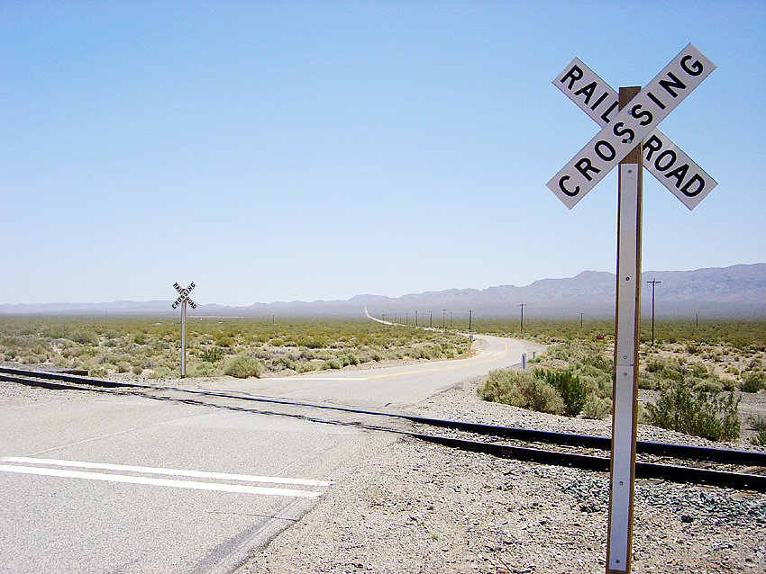
Garlock, California on:
[Wikipedia]
[Google]
[Amazon]
 Garlock (formerly, Eugeneville) is an
Ghosttowns.com photo gallery
unincorporated community
An unincorporated area is a parcel of land that is not governed by a local general-purpose municipal corporation. (At p. 178.) They may be governed or serviced by an encompassing unit (such as a county) or another branch of the state (such as th ...
in Kern County
Kern County is a county (United States), county located in the U.S. state of California. As of the 2020 United States census, 2020 census, the population was 909,235. Its county seat is Bakersfield, California, Bakersfield.
Kern County compris ...
, California
California () is a U.S. state, state in the Western United States that lies on the West Coast of the United States, Pacific Coast. It borders Oregon to the north, Nevada and Arizona to the east, and shares Mexico–United States border, an ...
, United States. It is located east-southeast of Saltdale, at an elevation of 2,169 feet (661 m).
A post office operated at Garlock from 1896 to 1904 and from 1923 to 1926.
Garlock is a ghost town
A ghost town, deserted city, extinct town, or abandoned city is an abandoned settlement, usually one that contains substantial visible remaining buildings and infrastructure such as roads. A town often becomes a ghost town because the economi ...
that was known as El Paso City or Cow Wells interchangeably. The little town provided water for cattlemen and freighters wishing to avoid the potentially treacherous washes in Red Rock Canyon. Some gold had been found in the canyons of the El Paso Mountains
The El Paso Mountains are located in the northern Mojave Desert, in central Southern California in the Western United States.
Geography
The range lies in a southwest-northeasterly direction east of State Route 14, and north of the Rand Mountains ...
, enough to warrant an arrastra
An arrastra (or arastra) is a primitive Mill (grinding), mill for grinding and pulverizing (typically) gold or silver ore. Its simplest form is two or more flat-bottomed drag stones placed in a circular pit paved with flat stones, and connected ...
being built in 1887. In 1893 a nugget was brought in worth $1,900 from Goler Heights and so the rush began. In 1894 Eugene Garlock of Tehachapi moved in an eight stamp mill. Miners would talk of going down to "the Garlock mill," "down to the Garlock," and finally just "Garlock."
Three miles to the southwest was the site of Old Garlock.
California Historical Landmark
The site is now registered asCalifornia Historical Landmark
A California Historical Landmark (CHL) is a building, structure, site, or place in the U.S. state of California that has been determined to have statewide historical landmark significance.
Criteria
Historical significance is determined by meetin ...
#671, designated on December 1, 1958. the marker is 7.4 mi W of State Hwy 395 on Garlock Rd, 13.4 mi NE of Cantil post office.
The California Historical Landmark reads:
:''NO. 671 SITE OF THE TOWN OF GARLOCK - In 1896, Eugene Garlock constructed a stamp mill near this spot to crush gold ore from the Yellow Aster Mine on Rand Mountain. Known originally as Cow Wells by prospectors and freighters during the 1880s and early 1890s, the town of Garlock continued to thrive until 1898, when water was piped from here to Randsburg and the Kramer-Randsburg rail line was completed.''
See also
*California Historical Landmarks in Kern County
Properties and districts listed as California Historical Landmarks within Kern County.
*Note: ''Click the "Map of all coordinates" link to the right to view a Google map of all properties and districts with latitude and longitude coordinates in t ...
*California Historical Landmark
A California Historical Landmark (CHL) is a building, structure, site, or place in the U.S. state of California that has been determined to have statewide historical landmark significance.
Criteria
Historical significance is determined by meetin ...
References
External links
Ghosttowns.com photo gallery
See also
*List of California Historical Landmarks
Below is a list of California Historical Landmarks organized by county.
List
* Alameda County
* Alpine County
* Amador County
* Butte County
* Calaveras County
* Colusa County
* Contra Costa County
* Del Norte County
* El Dorado Coun ...
* List of ghost towns in California
Ghost towns in California were caused by factors including the end of the California gold rush, the creation of new lakes, and the abandonment of formerly-used rail and motor routes.
Classification
Barren site
* Sites no longer in exist ...
History of Kern County, California
Former settlements in Kern County, California
Mining communities in California
Unincorporated communities in California
California Historical Landmarks
Ghost towns in California
Populated places in the Mojave Desert
{{California-ghost-town-stub