Fryingpan–Arkansas Project on:
[Wikipedia]
[Google]
[Amazon]
 The Fryingpan–Arkansas Project, or "Fry-Ark," is a water diversion, storage and delivery project serving southeastern Colorado. The multi-purpose project was authorized in 1962 by President Kennedy to serve municipal, industrial, and hydroelectric power generation, and to enhance recreation, fish and wildlife interests. Construction began in 1964 and was completed in 1981. The project includes five dams and reservoirs, one federal hydroelectric power plant (two private,
File:Pueblo Field Office.jpg, The Pueblo Field Office of the Bureau of Reclamation
File:Lake Pueblo.jpg, Late afternoon at Lake Pueblo
File:Mt. Elbert Power Plant.jpg, Mt. Elbert Power Plant on Twin Lakes
File:Mt. Elbert Forebay.JPG, Mt. Elbert Forebay with
Fryingpan-Arkansas Project 50th Anniversary Film, Bureau of Reclamation
{{DEFAULTSORT:Fryingpan-Arkansas Project Energy infrastructure completed in 1981 Energy infrastructure in Colorado Buildings and structures in Colorado United States Bureau of Reclamation Interbasin transfer Hydroelectric power plants in Colorado
FERC
The Federal Energy Regulatory Commission (FERC) is an independent agency of the United States government that regulates the interstate transmission and wholesale sale of electricity and natural gas and regulates the prices of interstate transpor ...
regulated plants), and 22 tunnels and conduits totaling in length. The Bureau of Reclamation
The Bureau of Reclamation, formerly the United States Reclamation Service, is a List of United States federal agencies, federal agency under the U.S. Department of the Interior, which oversees water resource management, specifically as it ...
, under the Department of the Interior
The United States Department of the Interior (DOI) is an executive department of the U.S. federal government responsible for the management and conservation of most federal lands and natural resources. It also administers programs relatin ...
built and manages the project.U.S. Department of the Interior: ''Water and Power Resources Service, Project Data'', page 485–506. United States Government Printing Office, 1981.
Like its sister–project, the Colorado–Big Thompson Project
The Colorado–Big Thompson Project (abbreviated C-BT) is a federal water diversion project in Colorado designed to collect West Slope mountain water from the headwaters of the Colorado River and divert it to Colorado's Front Range and plains. ...
, the Fry-Ark brings available water from Colorado's West Slope to the more arid, and more heavily populated, East Slope, providing supplemental water to over 720,000 people and of irrigable land in Colorado Springs
Colorado Springs is the most populous city in El Paso County, Colorado, United States, and its county seat. The city had a population of 478,961 at the 2020 census, a 15.02% increase since 2010. Colorado Springs is the second-most populous c ...
, Pueblo
Pueblo refers to the settlements of the Pueblo peoples, Native American tribes in the Southwestern United States, currently in New Mexico, Arizona, and Texas. The permanent communities, including some of the oldest continually occupied settlement ...
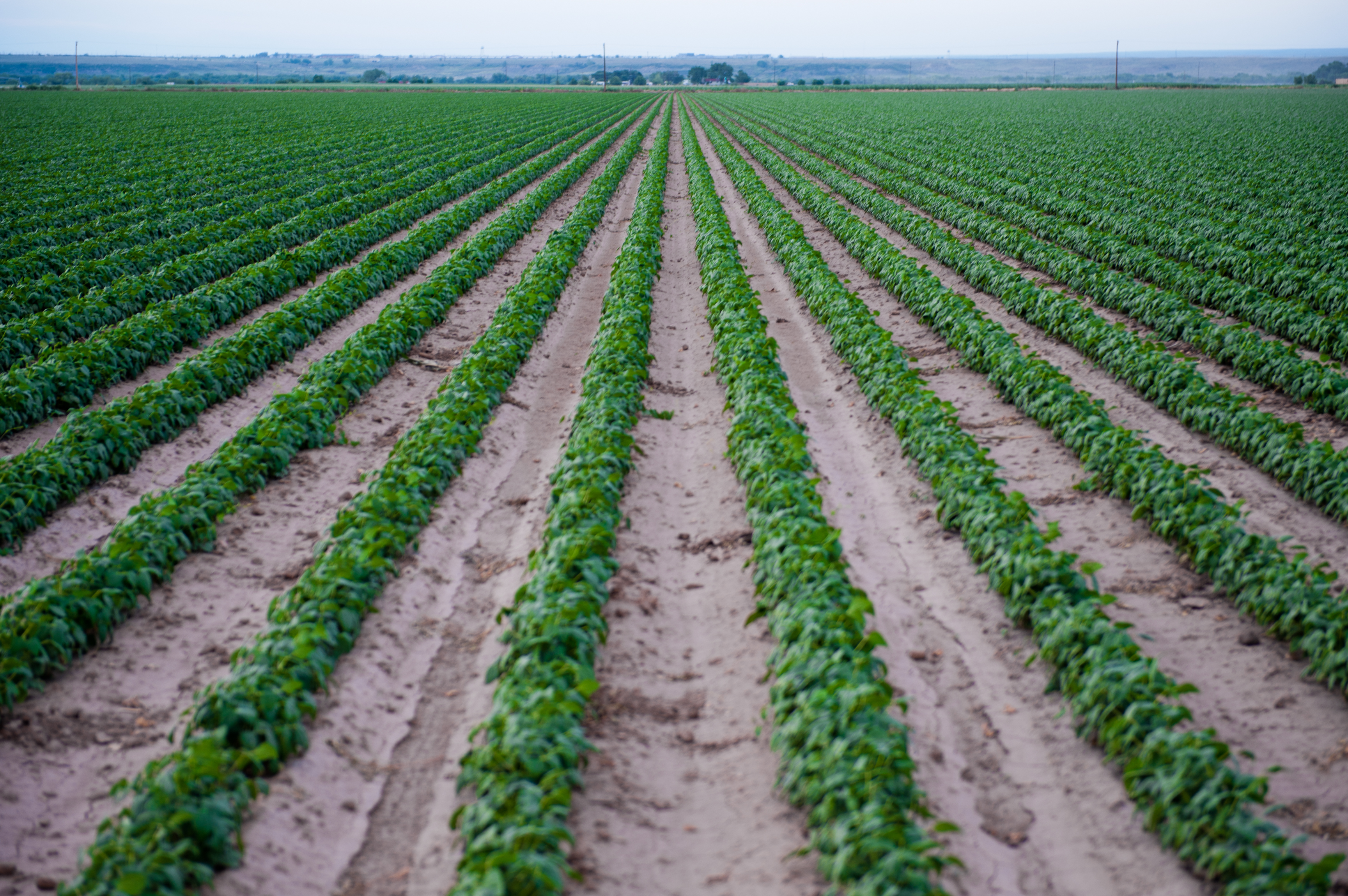
, La Junta, Lamar, and other southeastern Colorado municipalities each year.

Operation
The project diverts and delivers an average of of water a year. However, the water right on the Fry-Ark allows for a diversion of over the course of 34 consecutive years, but not to exceed a diversion of in any one single year. In 2011, when Colorado had an abundance of snow, the Fry-Ark imported about from the West Slope, the second highest diversion amount in the project's 50-year operating history. The following year, 2012, snowpack was scarce and drought returned to the state. As a result, the project was only able to import roughly of water. Before the Fry-Ark Project could be built in its entirety, a compromise had to be struck between East and West Slope water politics. The result was the construction ofRuedi Reservoir
Ruedi Reservoir is a reservoir on the Western Slope of the Continental Divide on the Fryingpan River. It sits about upstream of the town of Basalt, Colorado, near Aspen.U.S Department of the Interior: "Water and Power resources Service, Projec ...
, upstream on the Fryingpan River from Basalt, Colorado. Ruedi provides water to Colorado's West Slope, in part to compensate for what is diverted further upstream.
Water is diverted from the West Slope's Fryingpan River
The Fryingpan River is a tributary of the Roaring Fork River, approximately long,U.S. Geological Survey. National Hydrography Dataset high-resolution flowline dataThe National Map, accessed March 18, 2011 in Eagle and Pitkin counties in Color ...
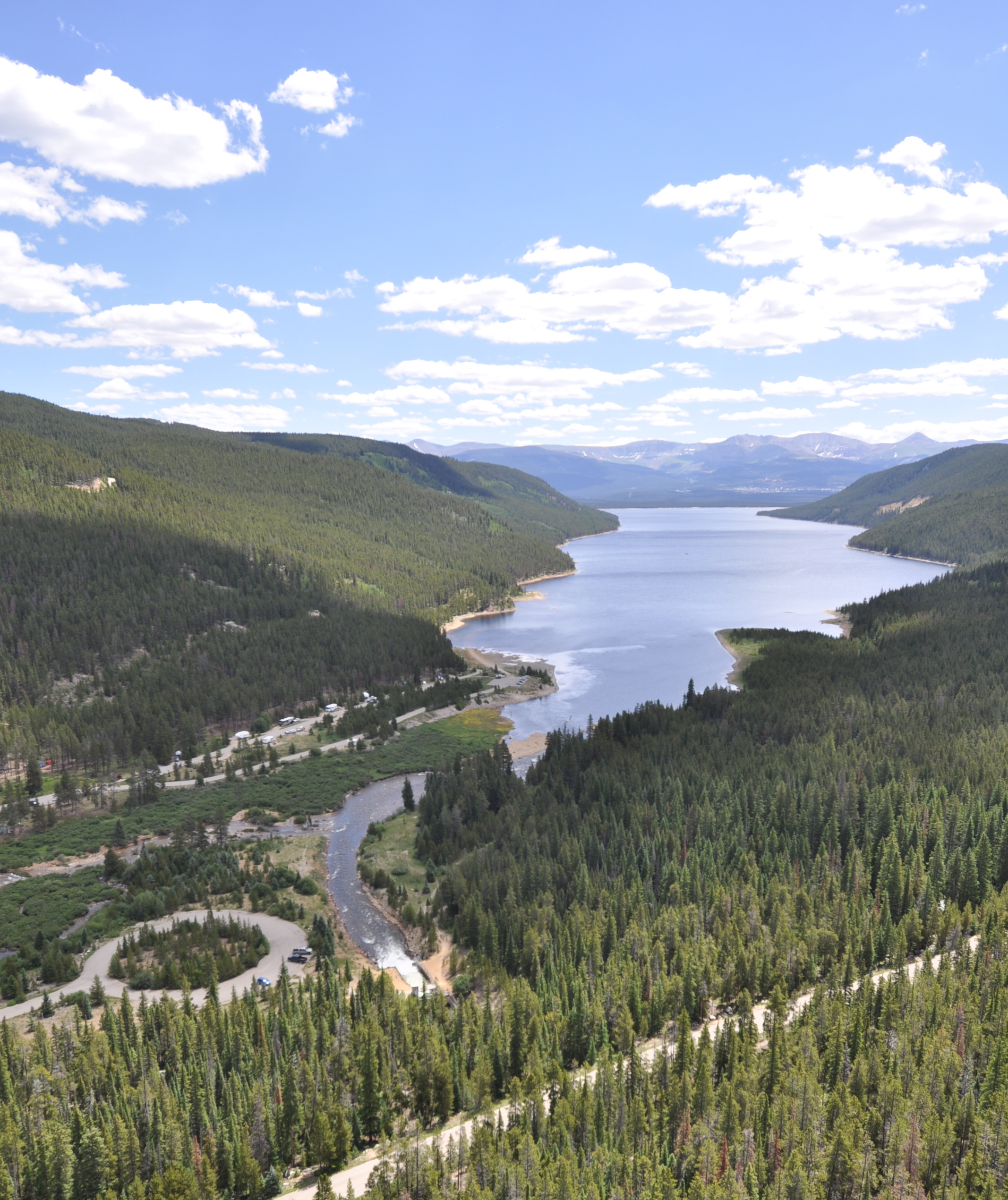
basin. A series of interconnected tunnels carrying water from 16 small diversion dams, all at an elevation of above , collect snowmelt and run it, via gravity, to the Charles H. Boustead Tunnel. The Boustead conveys water underneath the Continental Divide before discharging it into Turquoise Lake
Sugar Loaf Dam is a dam in Lake County of mid-Colorado, west of Leadville.
It has a height of feet and is over long at its crest, impounding the Lake Fork of the Arkansas River near its headwaters. The earthen dam was one of five reservoir ...
just west of Leadville
Leadville ( ) is a List of municipalities in Colorado#Statutory city, statutory city that is the county seat, the most populous community, and the only List of municipalities in Colorado, incorporated municipality in Lake County, Colorado, Lak ...
. Water then leaves Turquoise Lake reservoir via the Mt. Elbert Conduit, which runs nearly to the Mt. Elbert Forebay. Water is stored in the forebay to build up head
A head is the part of an organism which usually includes the ears, brain, forehead, cheeks, chin, eyes, nose, and mouth, each of which aid in various sensory functions such as sight, hearing, smell, and taste. Some very simple ani ...
(energy) before being dropped down over in elevation to the hydroelectric Mt. Elbert Powerplant.
The power plant takes its name from Mount Elbert
Mount Elbert is the highest summit of the Rocky Mountains of North America. With an elevation of , it is also the highest point in the U.S. state of Colorado and the second-highest summit in the contiguous United States after Mount Whitney, w ...
, Colorado's tallest peak, and sits at its base. The two-unit facility is the largest hydroelectric power plant in Colorado. It has a nameplate capacity of 200 megawatts and a maximum generating head of . During night time hours, when power rates are less expensive, the reversible pump-back units return water from Twin Lakes—water that was already used at least once by the units to generate electricity—back to the forebay so it can flow down again for more power generation. The Western Area Power Administration
As one of the four power marketing administrations within the U.S. Department of Energy, the Western Area Power Administration (WAPA)'s role is to market wholesale hydropower generated at 57 hydroelectric federal dams operated by the Bureau of Re ...
markets the power generated at the plant.
Water exiting the Mt. Elbert Power Plant helps fill Twin Lakes Reservoir, a natural lake bed that was enlarged and impounded by the Twin Lakes Dam
Twin Lakes Dam (National ID # CO02045) is a dam in Lake County, Colorado, about south of Leadville.
The earthen dam was constructed in 1978 by the United States Bureau of Reclamation with a height of and a length at its crest of . The dam is ...
during 1978–1980. The reservoir sits on Lake Creek which runs down from Independence Pass. Water from the reservoir continues down Lake Creek to the Arkansas River
The Arkansas River is a major tributary of the Mississippi River. It generally flows to the east and southeast as it traverses the U.S. states of Colorado, Kansas, Oklahoma, and Arkansas. The river's source basin lies in Colorado, specifically ...
, which is the main delivery vehicle for the Fry-Ark project.
Pueblo Reservoir, the center piece of Lake Pueblo State Park
Lake Pueblo State Park is a state park located in Pueblo County, Colorado. It includes of shoreline and of land. Activities it offers include two full-service marinas, recreational fishing, hiking, camping and swimming at a special swim beach. ...
, is the last reservoir in the project and sits on the Arkansas just west of Pueblo. The majority of municipal and agricultural deliveries for the project are made out of Pueblo Reservoir before the water continues on east to Kansas via the Arkansas.
Mount Elbert
Mount Elbert is the highest summit of the Rocky Mountains of North America. With an elevation of , it is also the highest point in the U.S. state of Colorado and the second-highest summit in the contiguous United States after Mount Whitney, w ...
in the background
References
External links
Fryingpan-Arkansas Project 50th Anniversary Film, Bureau of Reclamation
{{DEFAULTSORT:Fryingpan-Arkansas Project Energy infrastructure completed in 1981 Energy infrastructure in Colorado Buildings and structures in Colorado United States Bureau of Reclamation Interbasin transfer Hydroelectric power plants in Colorado