|
Stone Run
A stone run (called also ''stone river'', ''stone stream'' or ''stone sea''Vitosha Nature Park: Basic Information. Landscape. Vitosha Nature Park website.) is a rock landform resulting from the erosion of particular rock varieties caused by freezing-thawing cycles in periglacial conditions during the last glacial period, last Ice Age. The actual formation of stone runs involved five processes: weathering, solifluction, frost heaving, frost sorting, and washing.Stone, Phillip. Periglacial Princes Street - 52° South. ''The Edinburgh Geologist''. Issue No 35, 2000. The stone runs are essentially different from ... [...More Info...] [...Related Items...] OR: [Wikipedia] [Google] [Baidu] |
Prince Edward Islands
The Prince Edward Islands are two small uninhabited subantarctic volcanic islands in the southern Indian Ocean that are administered by South Africa. They are named Marion Island (named after Marc-Joseph Marion du Fresne, 1724–1772) and Prince Edward Island (named after Prince Edward, Duke of Kent and Strathearn, 1767–1820). The islands in the group have been declared Special Nature Reserves under the South African Environmental Management: Protected Areas Act, No. 57 of 2003, and activities on the islands are therefore restricted to research and conservation management. Further protection was granted when the area was declared a marine protected area in 2013. The only human inhabitants of the islands are the staff of a meteorological and biological research station run by the South African National Antarctic Programme on Marion Island. History Barent Barentszoon Lam of the Dutch East India Company reached the islands on 4 March 1663 on the ship ''Maerseveen''. They ... [...More Info...] [...Related Items...] OR: [Wikipedia] [Google] [Baidu] |
Wickham Heights
The Wickham Heights () are a rugged chain of mountains on East Falkland in the Falkland Islands. They include the island group's highest peak, Mount Usborne, Mount Wickham and are partly contiguous with No Man's Land. The slopes of Wickham Heights feature numerous stone run A stone run (called also ''stone river'', ''stone stream'' or ''stone sea''Lafonia. Rivers and streams such as the [...More Info...] [...Related Items...] OR: [Wikipedia] [Google] [Baidu] |
East Falkland
East Falkland () is the largest island of the Falkland Islands, Falklands in the South Atlantic, having an area of or 54% of the total area of the Falklands. The island consists of two main land masses, of which the more southerly is known as Lafonia; it is joined by a narrow isthmus where the settlement of Goose Green is located, and it was the scene of the Battle of Goose Green during the Falklands War. The two main centres of population in the Falklands, Stanley, Falkland Islands, Stanley and Mount Pleasant, Falkland Islands, Mount Pleasant, which are both in the northern half of East Falkland, are home to three-quarters of the island's population. Geography East Falkland, which has an area of , a little over half the total area of the islands consists of two land masses of approximately equal size. The island is almost bisected by two deep fjords, Choiseul Sound and Brenton Loch-Grantham Sound, which are separated by the wide isthmus that connects Lafonia in the south to ... [...More Info...] [...Related Items...] OR: [Wikipedia] [Google] [Baidu] |
Pennsylvania
Pennsylvania, officially the Commonwealth of Pennsylvania, is a U.S. state, state spanning the Mid-Atlantic (United States), Mid-Atlantic, Northeastern United States, Northeastern, Appalachian, and Great Lakes region, Great Lakes regions of the United States. It borders Delaware to its southeast, Maryland to its south, West Virginia to its southwest, Ohio and the Ohio River to its west, Lake Erie and New York (state), New York to its north, the Delaware River and New Jersey to its east, and the Provinces and territories of Canada, Canadian province of Ontario to its northwest via Lake Erie. Pennsylvania's most populous city is Philadelphia. Pennsylvania was founded in 1681 through a royal land grant to William Penn, the son of William Penn (Royal Navy officer), the state's namesake. Before that, between 1638 and 1655, a southeast portion of the state was part of New Sweden, a Swedish Empire, Swedish colony. Established as a haven for religious and political tolerance, the B ... [...More Info...] [...Related Items...] OR: [Wikipedia] [Google] [Baidu] |
Stiperstones
The Stiperstones () is a distinctive hill in Shropshire, England. The quartzite rock of the ridge formed some 480 million years ago. During the last Ice Age Stiperstones lay on the eastern margin of the Welsh ice sheet. The hill itself was not glaciated though glaciers occupied surrounding valleys and it was subject to intense freezing and thawing which shattered the quartzite into a mass of jumbled scree surrounding several residual rocky tors. At above sea level it is the second-highest hill in the county, surpassed only by Brown Clee Hill (). Stiperstones' summit ridge is crowned by several jagged outcrops of rock, which may be seen silhouetted against the sky. Geography The Stiperstones is noted for its tors of quartzite. The principal ones are named as follows, from north-east to south-west: * Shepherd's Rock () * Devil's Chair () * Manstone Rock () * Cranberry Rock () * Nipstone Rock () * The Rock () Manstone Rock is the highest of these at , and is topped with a t ... [...More Info...] [...Related Items...] OR: [Wikipedia] [Google] [Baidu] |
Scree
Scree is a collection of broken rock fragments at the base of a cliff or other steep rocky mass that has accumulated through periodic rockfall. Landforms associated with these materials are often called talus deposits. The term ''scree'' is applied both to an unstable steep mountain slope composed of rock fragments and other debris, and to the mixture of rock fragments and debris itself. It is loosely synonymous with talus, material that accumulates at the base of a projecting mass of rock, or talus slope, a landform composed of talus. The term ''scree'' is sometimes used more broadly for any sheet of loose rock fragments mantling a slope, while ''talus'' is used more narrowly for material that accumulates at the base of a cliff or other rocky slope from which it has obviously eroded. Scree is formed by rockfall, which distinguishes it from colluvium. Colluvium is rock fragments or soil deposited by rainwash, sheetwash, or slow downhill creep, usually at the base of gentle ... [...More Info...] [...Related Items...] OR: [Wikipedia] [Google] [Baidu] |
Balkans
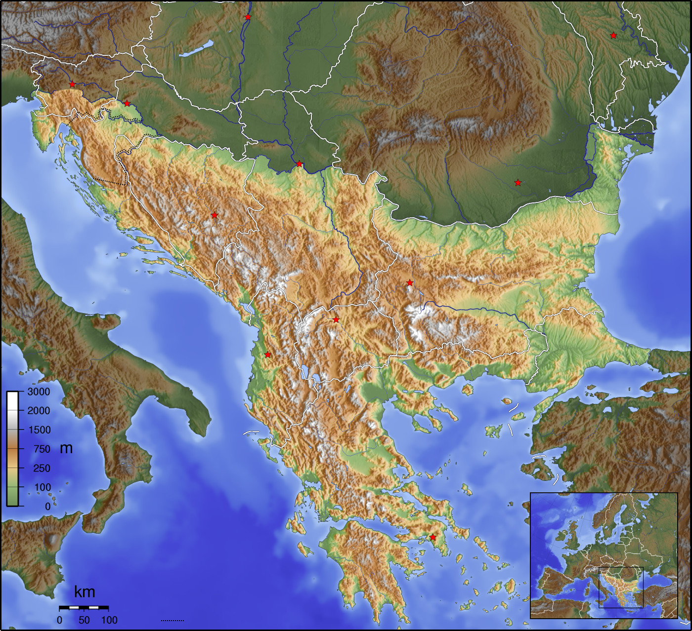
The Balkans ( , ), corresponding partially with the Balkan Peninsula, is a geographical area in southeastern Europe with various geographical and historical definitions. The region takes its name from the Balkan Mountains that stretch throughout the whole of Bulgaria. The Balkan Peninsula is bordered by the Adriatic Sea in the northwest, the Ionian Sea in the southwest, the Aegean Sea in the south, the Turkish straits in the east, and the Black Sea in the northeast. The northern border of the peninsula is variously defined. The highest point of the Balkans is Musala, , in the Rila mountain range, Bulgaria. The concept of the Balkan Peninsula was created by the German geographer August Zeune in 1808, who mistakenly considered the Balkan Mountains the dominant mountain system of southeastern Europe spanning from the Adriatic Sea to the Black Sea. In the 19th century the term ''Balkan Peninsula'' was a synonym for Rumelia, the parts of Europe that were provinces of the Ottoman E ... [...More Info...] [...Related Items...] OR: [Wikipedia] [Google] [Baidu] |
Patagonia
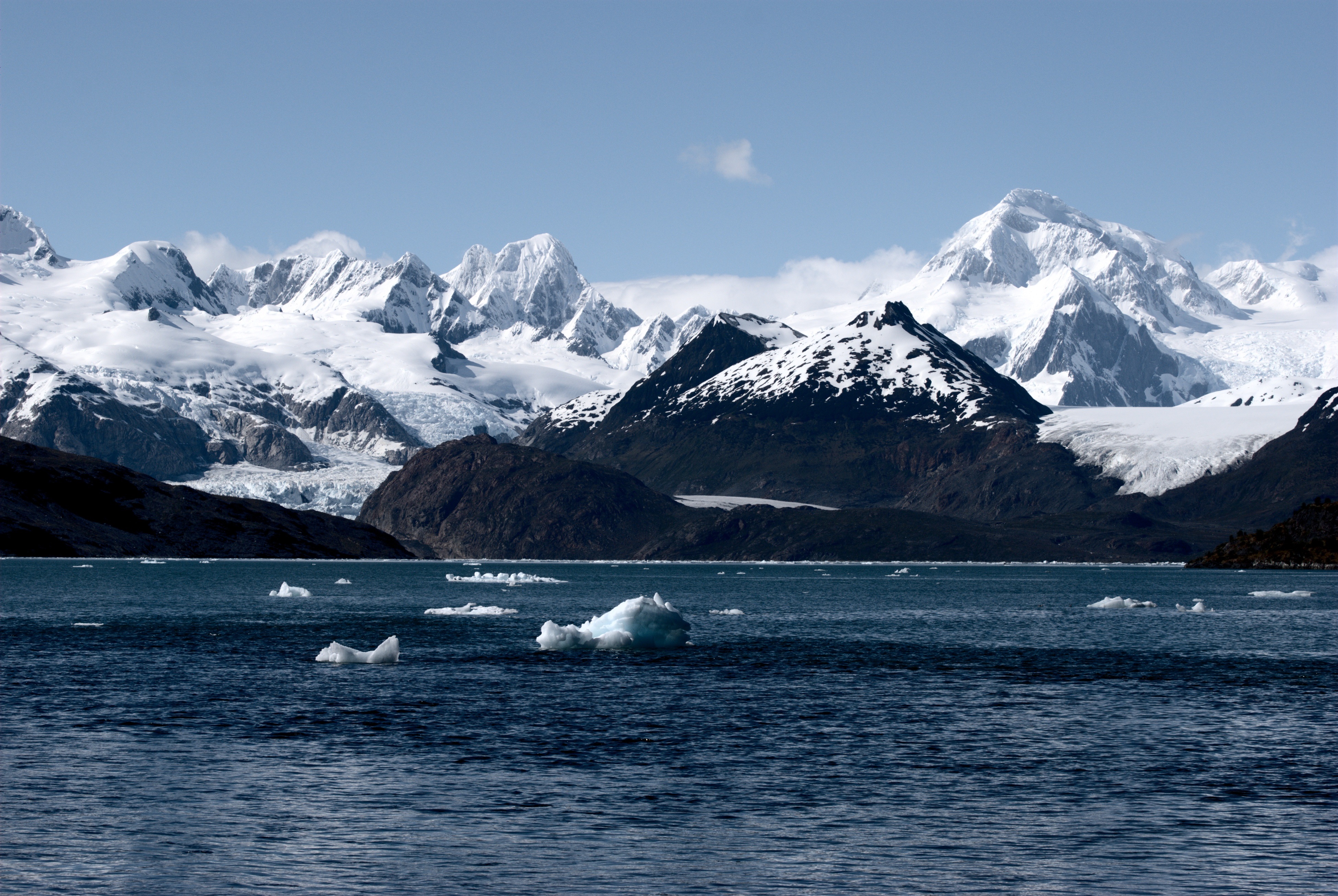
Patagonia () is a geographical region that includes parts of Argentina and Chile at the southern end of South America. The region includes the southern section of the Andes mountain chain with lakes, fjords, temperate rainforests, and glaciers in the west and Patagonian Desert, deserts, Plateaus, tablelands, and steppes to the east. Patagonia is bounded by the Pacific Ocean on the west, the Atlantic Ocean to the east, and many bodies of water that connect them, such as the Strait of Magellan, the Beagle Channel, and the Drake Passage to the south. The northern limit of the region is not precisely defined; the Colorado River, Argentina, Colorado and Barrancas River, Barrancas rivers, which run from the Andes to the Atlantic, are commonly considered the northern limit of Argentine Patagonia. The archipelago of Tierra del Fuego is sometimes considered part of Patagonia. Most geographers and historians locate the northern limit of Chilean Patagonia at Huincul Fault, in Araucanía R ... [...More Info...] [...Related Items...] OR: [Wikipedia] [Google] [Baidu] |
Tierra Del Fuego
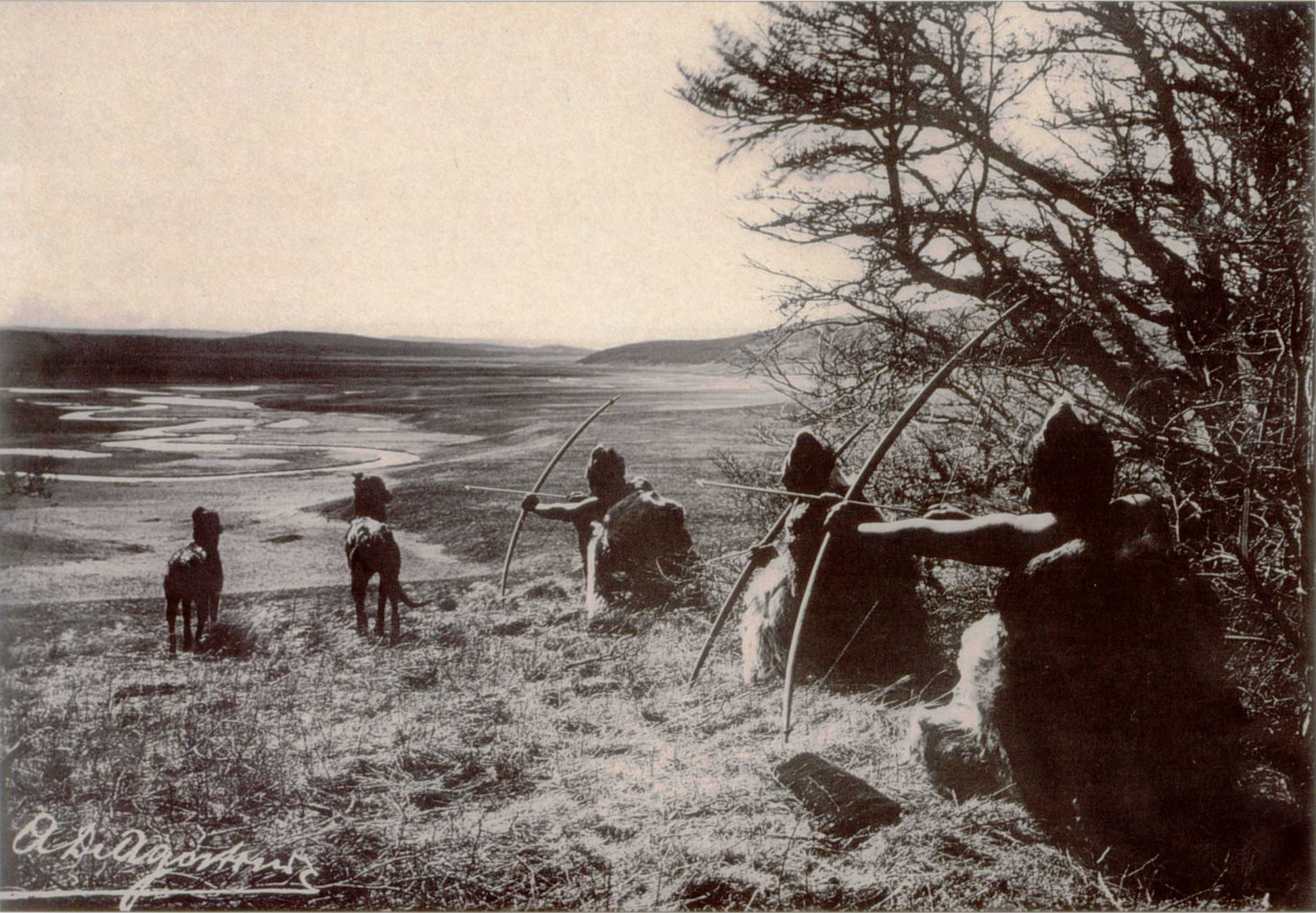
Tierra del Fuego (, ; Spanish for "Land of Fire", rarely also Fireland in English) is an archipelago off the southernmost tip of the South America, South American mainland, across the Strait of Magellan. The archipelago consists of the main island, Isla Grande de Tierra del Fuego, with an area of , along with numerous smaller islands, including Cape Horn and Diego Ramírez Islands. The western part of the Tierra del Fuego archipelago, about two-thirds including its many islands, is part of Chile, and the eastern part is part of Argentina. The southernmost extent of the archipelago, Cape Horn, lies just north of latitude 56th parallel south, 56°S. The earliest-known human settlement in Tierra del Fuego dates to approximately 8,000 BC. Europeans first explored the islands during Ferdinand Magellan's expedition of 1520. ''Tierra del Fuego'' ("Land of Fire") and similar names stem from sightings of the many fires that the inhabitants built along the coastline and possibly even in ... [...More Info...] [...Related Items...] OR: [Wikipedia] [Google] [Baidu] |
Campbell Islands
The Campbell Islands (or Campbell Island Group) are a group of subantarctic islands, belonging to New Zealand. They lie about 600 km south of Stewart Island. The islands have a total area of , consisting of one big island, Campbell Island, and several small islets, notably Dent Island, Isle de Jeanette Marie, Folly Island (or Folly Islands), Jacquemart Island, and Monowai Island (also known as Lion Rock). Ecologically, they are part of the Antipodes Subantarctic Islands tundra ecoregion. The islands were gazetted as a nature reserve in 1954, and are one of five subantarctic island groups collectively designated as a World Heritage Site by UNESCO. Geography The islands are relatively flat; due to tectonic pressure, however, there are mountains in the centre of each island. A sea stack at the southern tip of Jacquemart Island is – with the exception of the country's Antarctic claims – New Zealand's southernmost point. The following table includes named isla ... [...More Info...] [...Related Items...] OR: [Wikipedia] [Google] [Baidu] |


