|
Radio Quiet Zone
A radio quiet zone is an area where radio transmissions are restricted in order to protect a radio telescope or a communications station from radio frequency interference. The Radio Regulations of the International Telecommunication Union (ITU) define interference as being detrimental to radio astronomy if it increases measurement uncertainty by 10%. In particular, the applicable regulation is known as ITU-R Recommendation RA.769, "Protection criteria used for radio astronomical measurements". Equipment that can cause interference includes mobile phones, television transmitters, and CB radios, as well as other electrical equipment. Quiet zones are located in areas that are sparsely populated, and may be enforced based on government legislation. A radio quiet zone is often divided into two zones: an exclusion zone where all radio emissions are prohibited, and a larger coordination zone of up to 100 km2 where the power levels of radio transmissions are suitably limited so as no ... [...More Info...] [...Related Items...] OR: [Wikipedia] [Google] [Baidu] |
National Radio Quiet Zone
The National Radio Quiet Zone (NRQZ) is a large area of land in the United States designated as a radio quiet zone, in which radio transmissions are restricted by law to facilitate scientific research and the gathering of military intelligence. About half of the zone is located in the Blue Ridge Mountains of west-central Virginia while the other half is in the Allegheny Mountains of east-central West Virginia; a small part of the zone is in the southernmost tip of the Maryland panhandle. Location The Quiet Zone is an approximate rectangle of land, on the north edge, on the south edge and on the east and west edges, comprising approximately . It straddles the borders of Virginia and West Virginia, and also includes a small part of Maryland. The NRQZ is centered between the Green Bank Observatory in Green Bank, West Virginia, and Sugar Grove Station in Sugar Grove, West Virginia. It includes all land with latitudes between 37° 30′ 0.4″ N and 39° 15′ 0.4″ N, and ... [...More Info...] [...Related Items...] OR: [Wikipedia] [Google] [Baidu] |
Sugar Grove Station
Sugar Grove Station is a National Security Agency (NSA) communications site located near Sugar Grove, West Virginia, Sugar Grove in Pendleton County, West Virginia, Pendleton County, West Virginia. According to a 2005 article in ''The New York Times'', the site intercepts all international communications entering the Eastern United States. Activities at the site previously involved the Navy Information Operations Command (NAVIOCOM). In April 2013, the Chief of Naval Operations ordered that the NAVIOCOM support base be closed by September 30, 2015, as "a result of the determination by the resource sponsor National Security Agency to relocate the command's mission." The naval base is being repurposed as a privately owned healthcare facility for veterans, while the NSA listening station, to the south, continues to operate. History The station was built by the Naval Research Laboratory in the early 1960s for a fully-steerable radio telescope intended to gather SIGINT, intelligence on ... [...More Info...] [...Related Items...] OR: [Wikipedia] [Google] [Baidu] |
Radio Spectrum Pollution
Radio spectrum pollution is the straying of waves in the radio and electromagnetic spectrums outside their allocations that cause problems for some activities. It is of particular concern to radio astronomers. Radio spectrum pollution is mitigated by effective spectrum management. Within the United States, the Communications Act of 1934 grants authority for spectrum management to the President for all federal use (47 U.S.C. 305). The National Telecommunications and Information Administration (NTIA) manages the spectrum for the Federal Government. Its rules are found in the " NTIA Manual of Regulations and Procedures for Federal Radio Frequency Management". The Federal Communications Commission (FCC) manages and regulates all domestic non-federal spectrum use (47 U.S.C. 301). Each country typically has its own spectrum regulatory organization. Internationally, the International Telecommunication Union (ITU) coordinates spectrum policy. See also * Electromagnetic radiation a ... [...More Info...] [...Related Items...] OR: [Wikipedia] [Google] [Baidu] |
Lagrangian Point
In celestial mechanics, the Lagrange points (; also Lagrangian points or libration points) are points of equilibrium (mechanics), equilibrium for small-mass objects under the gravity, gravitational influence of two massive orbit, orbiting bodies. Mathematically, this involves the solution of the restricted three-body problem. Normally, the two massive bodies exert an unbalanced gravitational force at a point, altering the orbit of whatever is at that point. At the Lagrange points, the gravitational forces of the two large bodies and the centrifugal force balance each other. This can make Lagrange points an excellent location for satellites, as Orbital station-keeping, orbit corrections, and hence fuel requirements, needed to maintain the desired orbit are kept at a minimum. For any combination of two orbital bodies, there are five Lagrange points, L1 to L5, all in the orbital plane of the two large bodies. There are five Lagrange points for the Sun–Earth system, and five ... [...More Info...] [...Related Items...] OR: [Wikipedia] [Google] [Baidu] |
Far Side Of The Moon
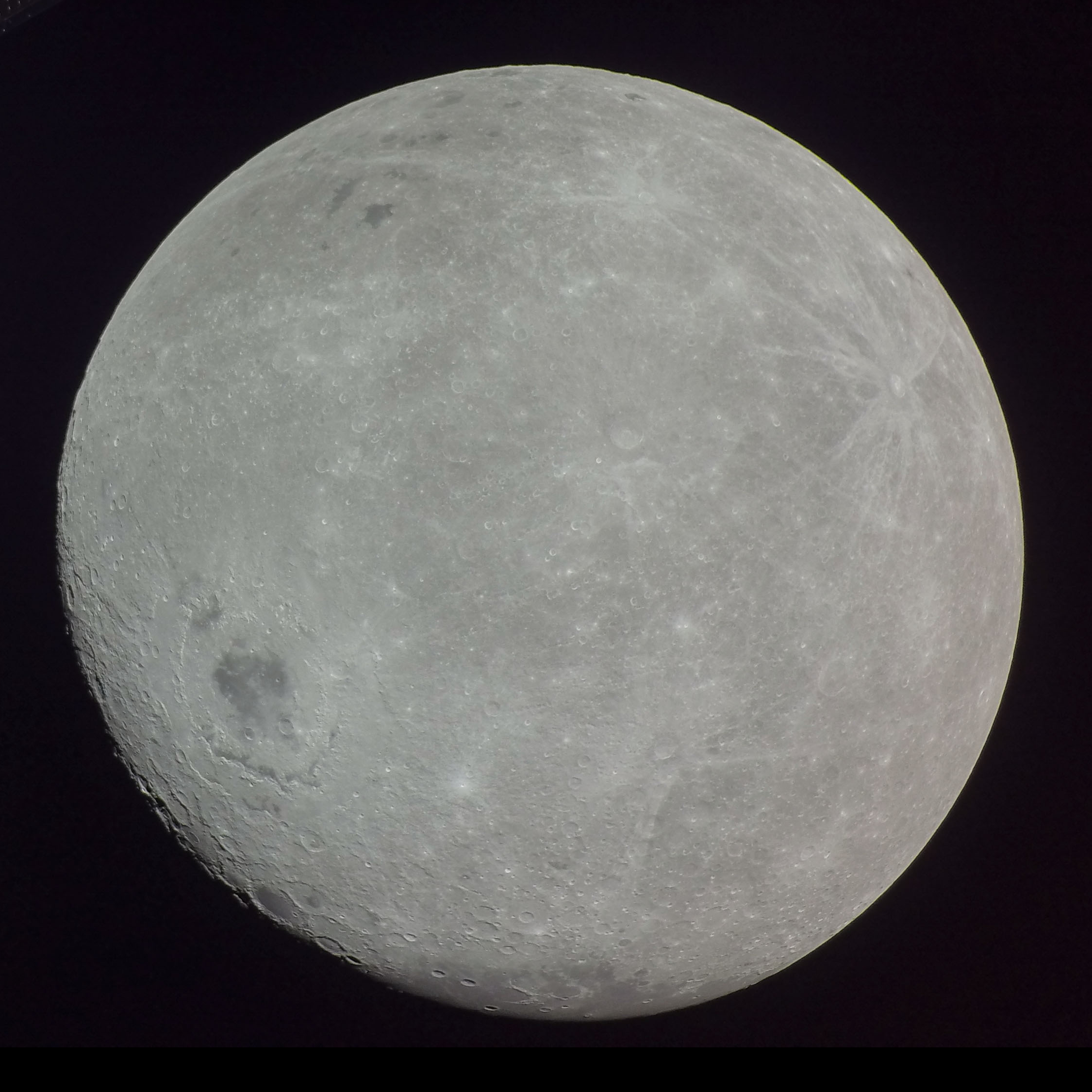
The far side of the Moon is the hemisphere of the Moon that is facing away from Earth, the opposite hemisphere is the near side. It always has the same surface oriented away from Earth because of synchronous rotation in the Moon's orbit. Compared to the near side, the far side's terrain is rugged, with a multitude of impact craters and relatively few flat and dark lunar maria ("seas"), giving it an appearance closer to other barren places in the Solar System such as Mercury and Callisto. It has one of the largest craters in the Solar System, the South Pole–Aitken basin. The hemisphere has sometimes been called the "Dark side of the Moon", where "dark" means "unknown" instead of "lacking sunlight" each location on the Moon experiences two weeks of sunlight while the opposite location experiences night. About 18 percent of the far side is occasionally visible from Earth due to oscillation and to libration. The remaining 82 percent remained unobserved until 1959, when ... [...More Info...] [...Related Items...] OR: [Wikipedia] [Google] [Baidu] |
MeerKAT
The meerkat (''Suricata suricatta'') or suricate is a small mongoose found in southern Africa. It is characterised by a broad head, large eyes, a pointed snout, long legs, a thin tapering tail, and a brindled coat pattern. The head-and-body length is around , and the weight is typically between . The coat is light grey to yellowish-brown with alternate, poorly-defined light and dark bands on the back. Meerkats have foreclaws adapted for digging and have the ability to thermoregulate to survive in their harsh, dry habitat. Three subspecies are recognised. Meerkats are highly sociality, social, and form packs of two to 30 individuals each that occupy home ranges around in area. There is a social dominance hierarchy, hierarchy—generally Dominance (ethology), dominant individuals in a pack breed and produce offspring, and the nonbreeding, subordinate members provide Altruism (biology), altruistic care to the pups. Breeding occurs around the year, with peaks during heavy rainf ... [...More Info...] [...Related Items...] OR: [Wikipedia] [Google] [Baidu] |
Itapetinga Radio Observatory
Pierre Kauffman Radio Observatory (Portuguese: Rádio Observatório Pierre Kauffman - ROPK), formerly known as the Itapetinga Radio Observatory (Portuguese: Rádio Observatório de Itapetinga - ROI), is a radio observatory located in the municipality of Atibaia in the state of São Paulo in Brazil. It is located approximately south of Atibaia and north of São Paulo. ROI was founded in 1970 by Universidade Presbiteriana Mackenzie (UPM). Control of the facility was passed to the National Institute for Space Research (INPE) in 1982. Today it is managed jointly by INPE, UPM, University do Vale do Paraíba (Univap), Universidade de São Paulo (USP), and Universidade Federal de Itajubá (UNIFEI). In addition to the telescopes, the observatory has living quarters for visiting scientists. ROI is located inside a small radio quiet zone. It was renamed in 2016 after Pierre Kauffman. Telescopes * A dish antenna was completed in 1974. It is housed in a radome which was replace ... [...More Info...] [...Related Items...] OR: [Wikipedia] [Google] [Baidu] |
United States National Radio Quiet Zone
The National Radio Quiet Zone (NRQZ) is a large area of land in the United States designated as a radio quiet zone, in which radio transmissions are restricted by law to facilitate scientific research and the gathering of military intelligence. About half of the zone is located in the Blue Ridge Mountains of west-central Virginia while the other half is in the Allegheny Mountains of east-central West Virginia; a small part of the zone is in the southernmost tip of the Maryland panhandle. Location The Quiet Zone is an approximate rectangle of land, on the north edge, on the south edge and on the east and west edges, comprising approximately . It straddles the borders of Virginia and West Virginia, and also includes a small part of Maryland. The NRQZ is centered between the Green Bank Observatory in Green Bank, West Virginia, and Sugar Grove Station in Sugar Grove, West Virginia. It includes all land with latitudes between 37° 30′ 0.4″ N and 39° 15′ 0.4″ N, and lo ... [...More Info...] [...Related Items...] OR: [Wikipedia] [Google] [Baidu] |
National Radio Astronomy Observatory
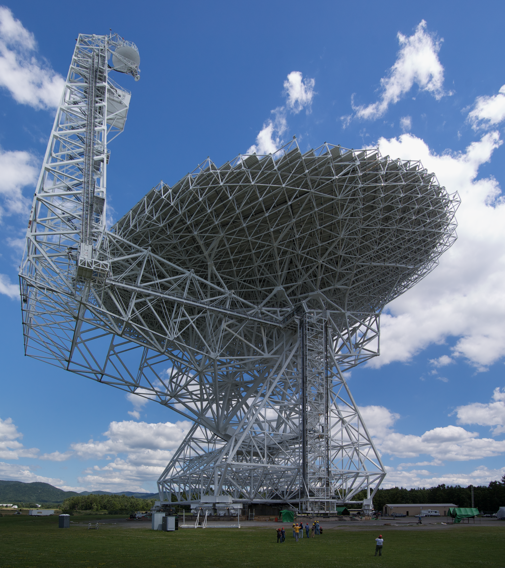
The National Radio Astronomy Observatory (NRAO) is a federally funded research and development center of the United States National Science Foundation operated under cooperative agreement by Associated Universities, Inc. for the purpose of radio astronomy. NRAO designs, builds, and operates its own high-sensitivity radio telescopes for use by scientists around the world. Locations Charlottesville, Virginia The NRAO headquarters is located on the campus of the University of Virginia in Charlottesville, Virginia. The North American ALMA Science Center and the NRAO Technology Center and Central Development Laboratory are also in Charlottesville. Green Bank, West Virginia NRAO was, until October 2016, the operator of the world's largest fully steerable radio telescope, the Robert C. Byrd Green Bank Telescope, which stands near Green Bank, West Virginia. The observatory contains several other telescopes, among them the telescope that utilizes an equatorial mount uncommon for ra ... [...More Info...] [...Related Items...] OR: [Wikipedia] [Google] [Baidu] |
Radio
Radio is the technology of communicating using radio waves. Radio waves are electromagnetic waves of frequency between 3 hertz (Hz) and 300 gigahertz (GHz). They are generated by an electronic device called a transmitter connected to an antenna which radiates the waves. They can be received by other antennas connected to a radio receiver; this is the fundamental principle of radio communication. In addition to communication, radio is used for radar, radio navigation, remote control, remote sensing, and other applications. In radio communication, used in radio and television broadcasting, cell phones, two-way radios, wireless networking, and satellite communication, among numerous other uses, radio waves are used to carry information across space from a transmitter to a receiver, by modulating the radio signal (impressing an information signal on the radio wave by varying some aspect of the wave) in the transmitter. In radar, used to locate and track ob ... [...More Info...] [...Related Items...] OR: [Wikipedia] [Google] [Baidu] |
Murchison Radio-astronomy Observatory
Inyarrimanha Ilgari Bundara, the CSIRO Murchison Radio-astronomy Observatory was established by CSIRO, Australia's national science centre in 2009. It lies in a designated radio quiet zone located near Boolardy Station in the Murchison Shire of Western Australia, about north of Perth on the traditional lands of the Wajarri people. It is one of two core sites for the international Square Kilometre Array (SKA) project, the other being located in South Africa. As part of this project, there have been two technology and science pathfinders, both established by 2012: * the radio telescopes known as the Murchison Widefield Array (MWA), a low-frequency array operating in the frequency range 80–300 MHz * the Australian Square Kilometre Array Pathfinder (ASKAP) Construction on the main large SKA-Low telescope started in December 2022. Several smaller experiments (CORE, Experiment to Detect the Global EoR Signature, EDGES, PAPER and SCOPE), unrelated to the SKA project, are als ... [...More Info...] [...Related Items...] OR: [Wikipedia] [Google] [Baidu] |


