|
Oncolite
Oncolites are sedimentary structures composed of oncoids, which are layered structures formed by the growth of one or more species of microorganisms, usually containing cyanobacteria. Oncolites are very similar to stromatolites, but, instead of forming columns, they form approximately spherical structures. The oncoids often form around a central nucleus, such as a shell fragment, and a calcium carbonate structure is deposited by encrusting microbes. Oncolites are indicators of warm waters in the photic zone, but are also known in contemporary freshwater environments. These structures rarely exceed 10 cm in diameter. Oncolites may have either a porostromate or spongiostromate texture. Most oncolites are spongiostromate, having no recognisable cellular texture or microstructure. Porostromate oncolites are mostly unknown during the Precambrian; since the Eocene they have mostly been confined to freshwater environments. Distribution The appearance of recent or near-recent ... [...More Info...] [...Related Items...] OR: [Wikipedia] [Google] [Baidu] |
Porostromate
"Porostromata" is an antiquated form taxon that refers to fossil cyanobacteria. The term porostromate is also used as a descriptor of textures and microstructure of Stromatolite, stromatolites and Oncolite, oncolites which contain tubules or other cellular structures. The group was defined by Pia (1927) as containing calcareous algae bearing calcified tubules; these may run parallel to the growth surface as in ''Girvanella'', ''Sphaerocodium'' or perpendicular, as in ''Hedstroemia'', ''Ortonella'', and ''Mitcheldaenia''; however, in 1937 Pia restricted the group to only ''Girvanella'' and ''Sphaerocodium'', placing the other genera in the Codiaceae. In reality it seems that most or all of the species included in "Porostromata" represent fossils of cyanobacteria. Monty (1981) advocated continued use of porostramata in an informal sense to describe a habit and structure of bacterial colonies, rather than in a taxonomic sense. He defined a "porostromate" microstructure as follows:" ... [...More Info...] [...Related Items...] OR: [Wikipedia] [Google] [Baidu] |
Spongiostromate
"Spongiostromata" is an antiquated form taxon that refers primarily to fossil cyanobacteria. "Spongiostromate" is also used to describe stromatolites and oncolites that do not preserve clear tubules or other cellular microstructure. Pia (1927) erected the group to contain calcareous algal fossils that contain no visible cellular structure but which he presumed represented cyanobacteria based on comparisons to modern examples. He divided the taxon into two groups: the '' stromatolithi'' and the '' oncolithi''. Monty (1981) abolished the group as taxonomically uninformative but advocated for the use of "spongiostromata" to describe a form and texture of bacterial fossils. He defined a "spongiostromate" texture as follows:"Spongiostromate microstructures result from the individualization of micritic, spongious, fenestral, sparitic, pelloidal, detrital, etc. laminae or films, variously grouped and organized. "Throughout geologic history, spongiostromate stromatolites and oncolites ha ... [...More Info...] [...Related Items...] OR: [Wikipedia] [Google] [Baidu] |
Stromatolites
Stromatolites ( ) or stromatoliths () are layered sedimentary formations ( microbialite) that are created mainly by photosynthetic microorganisms such as cyanobacteria, sulfate-reducing bacteria, and Pseudomonadota (formerly proteobacteria). These microorganisms produce adhesive compounds that cement sand and other rocky materials to form mineral " microbial mats". In turn, these mats build up layer by layer, growing gradually over time. This process generates the characteristic lamination of stromatolites, a feature that is hard to interpret, in terms of its temporal and environmental significance. Different styles of stromatolite lamination have been described, which can be studied through microscopic and mathematical methods. A stromatolite may grow to a meter or more. Fossilized stromatolites provide important records of some of the most ancient life. As of the Holocene, living forms are rare. Definition Stromatolites are layered, biochemical, accretionary structur ... [...More Info...] [...Related Items...] OR: [Wikipedia] [Google] [Baidu] |
Eocene
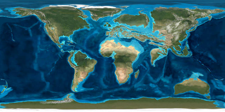
The Eocene ( ) is a geological epoch (geology), epoch that lasted from about 56 to 33.9 million years ago (Ma). It is the second epoch of the Paleogene Period (geology), Period in the modern Cenozoic Era (geology), Era. The name ''Eocene'' comes from the Ancient Greek (''Ēṓs'', 'Eos, Dawn') and (''kainós'', "new") and refers to the "dawn" of modern ('new') fauna that appeared during the epoch.See: *Letter from William Whewell to Charles Lyell dated 31 January 1831 in: * From p. 55: "The period next antecedent we shall call Eocene, from ήως, aurora, and χαινος, recens, because the extremely small proportion of living species contained in these strata, indicates what may be considered the first commencement, or ''dawn'', of the existing state of the animate creation." The Eocene spans the time from the end of the Paleocene Epoch to the beginning of the Oligocene Epoch. The start of the Eocene is marked by a brief period in which the concentration of the carbon isoto ... [...More Info...] [...Related Items...] OR: [Wikipedia] [Google] [Baidu] |
Salar De Antofalla
Salar de Antofalla is a salt flat in the Andes of Catamarca Province in the Argentine Northwest. The salt flat contains systems of oncoids that grow in the interface between proper salt flat and an adjacent wetlands. The geology surrounding the southern part of Salar de Antofalla is made up of continental (e.i. non-marine) sedimentary rock that deposited from Late Eocene to Early Pleistocene times. References Antofalla Antofalla Antofalla is a Miocene-Pliocene volcano in Argentina's Catamarca Province. It is part of the volcanic segment of the Andes in Argentina, and it is considered to be part of the Central Volcanic Zone, one of the volcanic zones of the Andes. Antofa ... Landforms of Catamarca Province Puna de Atacama {{Catamarca-geo-stub ... [...More Info...] [...Related Items...] OR: [Wikipedia] [Google] [Baidu] |
Atacama Desert
The Atacama Desert () is a desert plateau located on the Pacific Ocean, Pacific coast of South America, in the north of Chile. Stretching over a strip of land west of the Andes Mountains, it covers an area of , which increases to if the barren lower slopes of the Andes are included. The Atacama Desert is the driest nonpolar desert in the world, and the second driest overall, behind some specific spots within the McMurdo Dry Valleys. It is the only Desert climate, true desert to receive less precipitation than polar deserts, and the largest fog desert in the world. The area has been used as an experimentation site for Mars expedition simulations due to its similarities to the Martian environment. The constant Inversion (meteorology), temperature inversion caused by the cool north-flowing Humboldt Current, Humboldt ocean current and the strong South Pacific High, Pacific anticyclone contribute to the extreme aridity of the desert. The most arid region of the Atacama Desert is s ... [...More Info...] [...Related Items...] OR: [Wikipedia] [Google] [Baidu] |
Freising
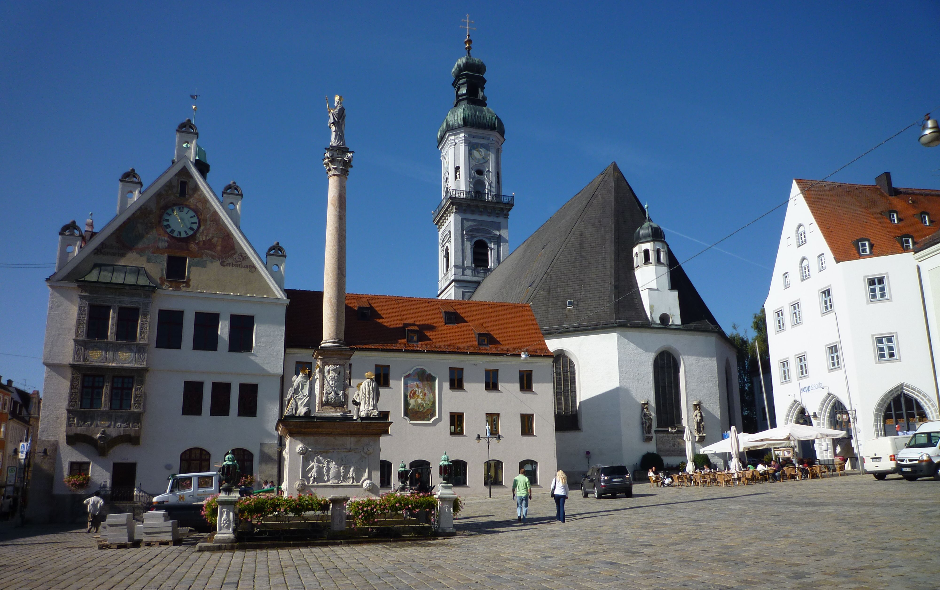
Freising () is a university town in Bavaria, Germany, and the capital of the Freising (district), with a population of about 50,000. Location Freising is the oldest town between Regensburg and Bolzano, and is located on the Isar river in Upper Bavaria, north of Munich and near the Munich International Airport. The city is built on and around two prominent hills: the Cathedral Hill with the former Bishop's Residence and Freising Cathedral, and Weihenstephan Hill with the former Weihenstephan Abbey, containing the oldest working brewery in the world. It was also the location of the first recorded tornado in Europe. The city is 448 meters above sea level. Cultural significance Freising is one of the oldest settlements in Bavaria, becoming a major religious centre in the early Middle Ages. It is the centre of an important diocese. Some important historical documents were created between 900 and 1200 in its monastery: * Freising manuscripts written in Slovenian, being th ... [...More Info...] [...Related Items...] OR: [Wikipedia] [Google] [Baidu] |
Chiemsee
Chiemsee () is a freshwater lake in Bavaria, Germany, near Rosenheim. It is often called "the Bavarian Sea". The rivers Tiroler Achen and Prien (river), Prien flow into the lake from the south, and the river Alz flows out towards the north. The Alz flows into the Inn (river), Inn which then merges with the Danube. The Chiemsee is divided into the bigger, north section, in the northeast, called , and the , in the southwest. The Chiemgau, the region surrounding the Chiemsee, is a popular recreation area. Origin The Chiemsee was formed, like many other pre-alpine lakes, at the end of the last ice age about 10,000 years ago from a hollow carved out by a glacier (a ). Originally the lake covered an area of almost , which is about three times its present area. Within 10,000 years its area had shrunk to around . Before 1904 the water level was lowered by about a metre. As a result, large areas of dry land were reclaimed. Islands There are three main islands on the lake: Herrenin ... [...More Info...] [...Related Items...] OR: [Wikipedia] [Google] [Baidu] |
Bavaria
Bavaria, officially the Free State of Bavaria, is a States of Germany, state in the southeast of Germany. With an area of , it is the list of German states by area, largest German state by land area, comprising approximately 1/5 of the total land area of Germany, and with over 13.08 million inhabitants, it is the list of German states by population, second most populous German state, behind only North Rhine-Westphalia; however, due to its large land area, its population density is list of German states by population density, below the German average. Major cities include Munich (its capital and List of cities in Bavaria by population, largest city, which is also the list of cities in Germany by population, third largest city in Germany), Nuremberg, and Augsburg. The history of Bavaria includes its earliest settlement by Iron Age Celts, Celtic tribes, followed by the conquests of the Roman Empire in the 1st century BC, when the territory was incorporated into the provinces of Ra ... [...More Info...] [...Related Items...] OR: [Wikipedia] [Google] [Baidu] |


