|
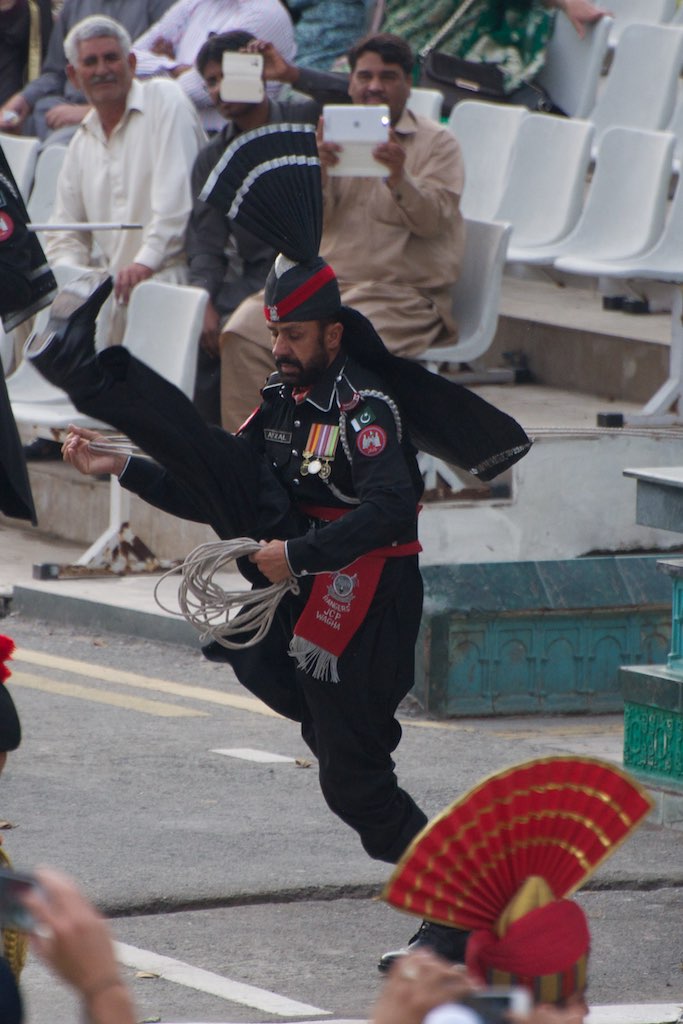
India–Pakistan Border
The India–Pakistan border is the international boundary that separates the nations of the Republic of India and the Islamic Republic of Pakistan. At its northern end is the Line of Control, which separates Indian-administered Jammu & Kashmir from Pakistani- administered Kashmir; and at its southern end is Sir Creek, a tidal estuary in the Rann of Kutch between the Indian state of Gujarat and the Pakistani province of Sindh. Arising from the partition of India in 1947, the border covers the provincial boundaries of Gujarat and Rajasthan with Sindh, and the Radcliffe Line between the partitions of Punjab. It traverses a variety of terrain in the northwestern region of the subcontinent, ranging from major urban areas to inhospitable deserts. Since the beginning of the India–Pakistan conflict shortly after the two countries' conjoined independence, it has been the site of numerous cross-border military standoffs and full-scale wars. The border's total length is according to ... [...More Info...] [...Related Items...] OR: [Wikipedia] [Google] [Baidu] |
