|
Vrátna Dolina
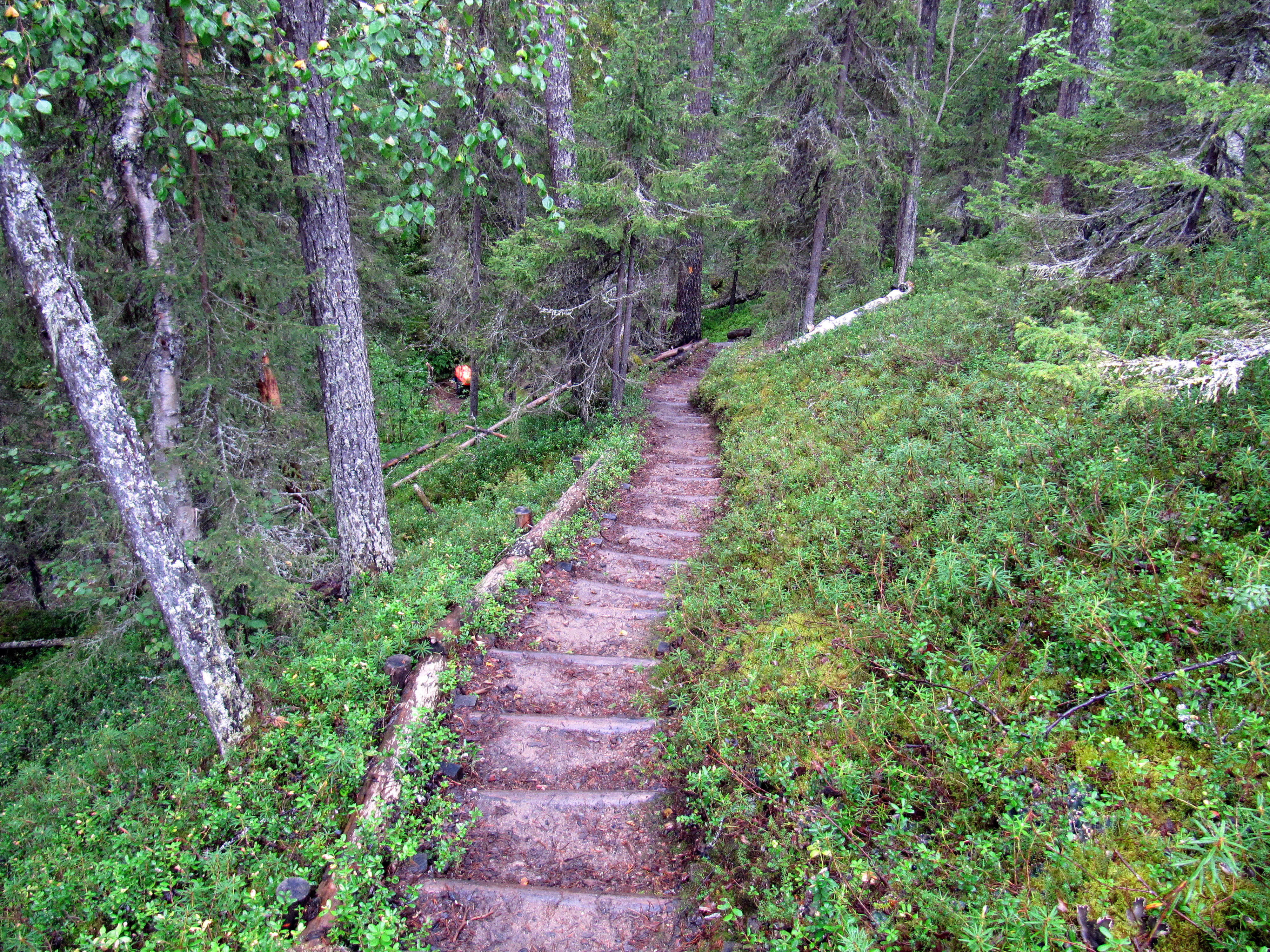
Vrátna dolina or Vrátna Valley is a valley in the Malá Fatra mountain range in Slovakia. It is situated 3 kilometers from the village of Terchová in the Žilina Region. Vrátna dolina covers an area of approximately 36 km2 (13,9 mi2). There are four access points into the valley: Tiesňavy, ''Stará dolina'', ''Nová dolina'', and ''Starý dvor''. Tourism image:Slovakia Vratna 6.jpg, map Vrátna is one of the most visited tourist and ski destinations in Slovakia. The ski resort Vrátna is situated at altitudes from 600 to 1,550 m AMSL and offers 16 slopes. Since 2006, Vrátna offers a Aerial lift, cable car Vrátna (740 m) - Chleb (1,490 m), using 8-seat gondolas. It also offers cross-country skiing and other winter activities, and biking and hiking trails. References External linksVrátna ValleyaSlovakia.travel [...More Info...] [...Related Items...] OR: [Wikipedia] [Google] [Baidu] |
Malá Fatra
Malá Fatra (; also Little Fatra or Lesser Fatra, , ) is a mountain range in the Western Carpathians in the north-west of Central Slovakia. In the geomorphological system, it is a part of the Fatra-Tatra Area.Craig Stephen Cravens ''Culture And Customs of the Czech Republic And Slovakia'' 2006 Page 3 "Two smaller ranges forming part of the Tatras are the Malá Fatra and the Vel'ká Fatra. Another popular region for outdoor enthusiasts is Slovenský Raj, literally Slovak Paradise, an area of exceptional natural beauty, and of rare flora and fauna." It is situated approximately halfway between the localities of Nitrianske Pravno, Strečno, Martin and Zázrivá. Turčianska kotlina (Turiec Basin) and the Oravská vrchovina mountains are situated to the west of the range, and Žilinská kotlina (Žilina Basin) and the Kysucká vrchovina mountains arw located to the east. Malá Fatra consists of two subdivisions separated by the Váh river near Strečno: Lúčanská Malá Fatra ... [...More Info...] [...Related Items...] OR: [Wikipedia] [Google] [Baidu] |
Slovakia
Slovakia, officially the Slovak Republic, is a landlocked country in Central Europe. It is bordered by Poland to the north, Ukraine to the east, Hungary to the south, Austria to the west, and the Czech Republic to the northwest. Slovakia's mostly mountainous territory spans about , hosting a population exceeding 5.4 million. The capital and largest city is Bratislava, while the second largest city is Košice. The Slavs arrived in the territory of the present-day Slovakia in the 5th and 6th centuries. From the late 6th century, parts of modern Slovakia were incorporated into the Pannonian Avars, Avar Khaghanate. In the 7th century, the Slavs played a significant role in the creation of Samo's Empire. When the Avar Khaghanate dissolved in the 9th century, the Slavs established the Principality of Nitra before it was annexed by the Great Moravia, Principality of Moravia, which later became Great Moravia. When Great Moravia fell in the 10th century, the territory was integrated i ... [...More Info...] [...Related Items...] OR: [Wikipedia] [Google] [Baidu] |
Terchová
Terchová () is a large village and municipality (population 4,073) in the Malá Fatra mountains in the Žilina District in the Žilina Region of northern Slovakia. Names and etymology In the 16th century, the village was known as ''Kralowa alias Tyerchowa'' (1598). The name ''Kralowa'' means 'royal' in Slovak and refers to royal meadows. The name ''Tyerchowa'' comes from the Hungarian noun ''terhe'' 'burden', which was borrowed into Slovak before the 12th century as ''tärcha'' > ''ťarcha'', and later also as ''tercha'' with the Slovak possessive suffix ''-ova''. It refers to legal obligations of the citizens. History The village was established in 1580, but the area was inhabited even before its establishment. Originally a Vlach settlement from the period of Vlach colonization, it slowly began to change to an agricultural settlement, as many new settlers in the 17th century came to the village. In the 19th century, several droughts and plagues depopulated the village, as ma ... [...More Info...] [...Related Items...] OR: [Wikipedia] [Google] [Baidu] |
Žilina Region
The Žilina Region (; ; ) is one of the eight Regions of Slovakia, Slovak administrative regions and consists of 11 districts (okresy) and 315 municipalities, from which 18 have a town status. The region was established in 1923, however, in its present borders exists from 1996. It is a more industrial region with several large towns. Žilina is the region administrative center and there is a strong cultural environment in Martin, Slovakia, Martin. Geography It is located in northern Slovakia and has an area of 6,804 km2 and a population of 688,851 (2011). The whole area is mountainous, belonging to the Western Carpathians. Some of the mountain ranges in the region include Javorníky, the Lesser Fatra and the Greater Fatra in the west, Oravská Magura, Chočské vrchy, Low Tatras and Western Tatras in the east. Whole area belongs to the Váh river basin. Some of its left tributaries are Turiec River (Váh), Turiec and Rajčanka rivers and its right tributaries Belá River, Bel ... [...More Info...] [...Related Items...] OR: [Wikipedia] [Google] [Baidu] |
Slovakia Vratna 6
Slovakia, officially the Slovak Republic, is a landlocked country in Central Europe. It is bordered by Poland to the north, Ukraine to the east, Hungary to the south, Austria to the west, and the Czech Republic to the northwest. Slovakia's mostly mountainous territory spans about , hosting a population exceeding 5.4 million. The capital and largest city is Bratislava, while the second largest city is Košice. The Slavs arrived in the territory of the present-day Slovakia in the 5th and 6th centuries. From the late 6th century, parts of modern Slovakia were incorporated into the Avar Khaghanate. In the 7th century, the Slavs played a significant role in the creation of Samo's Empire. When the Avar Khaghanate dissolved in the 9th century, the Slavs established the Principality of Nitra before it was annexed by the Principality of Moravia, which later became Great Moravia. When Great Moravia fell in the 10th century, the territory was integrated into the Principality of Hungar ... [...More Info...] [...Related Items...] OR: [Wikipedia] [Google] [Baidu] |
AMSL
Height above mean sea level is a measure of a location's vertical distance (height, elevation or altitude) in reference to a vertical datum based on a historic mean sea level. In geodesy, it is formalized as orthometric height. The zero level varies in different countries due to different reference points and historic measurement periods. Climate change and other forces can cause sea levels and elevations to vary over time. Uses Elevation or altitude above sea level is a standard measurement for: * Geographic locations such as towns, mountains and other landmarks. * The top of buildings and other structures. * Mining infrastructure, particularly underground. * Flying objects such as airplanes or helicopters below a Transition Altitude defined by local regulations. Units and abbreviations Elevation or altitude is generally expressed as "metres above mean sea level" in the metric system, or " feet above mean sea level" in United States customary and imperial units. Comm ... [...More Info...] [...Related Items...] OR: [Wikipedia] [Google] [Baidu] |
Aerial Lift
An aerial lift, also known as a cable car or ropeway, is a means of cable transport in which ''cabins'', ''cars'', ''Gondola lift, gondolas'', or Chairlift, open chairs are hauled above the ground by means of one or more Wire rope, cables. Aerial lift systems are frequently employed in a mountainous territory where roads are relatively difficult to build and use, and have seen extensive use in mining. Aerial lift systems are relatively easy to move and have been used to cross rivers and ravines. In more recent times, the cost-effectiveness and flexibility of aerial lifts have seen an increase of gondola lift being integrated into urban public transport systems. Types Aerial tramway An aerial tramway, aerial tram (American English) or a cable car (British English), uses one or two stationary ropes for support while a separate moving rope provides propulsion. The grip of an aerial tramway is permanently fixed onto the propulsion rope. Aerial trams used for urban transport incl ... [...More Info...] [...Related Items...] OR: [Wikipedia] [Google] [Baidu] |
Cross-country Skiing
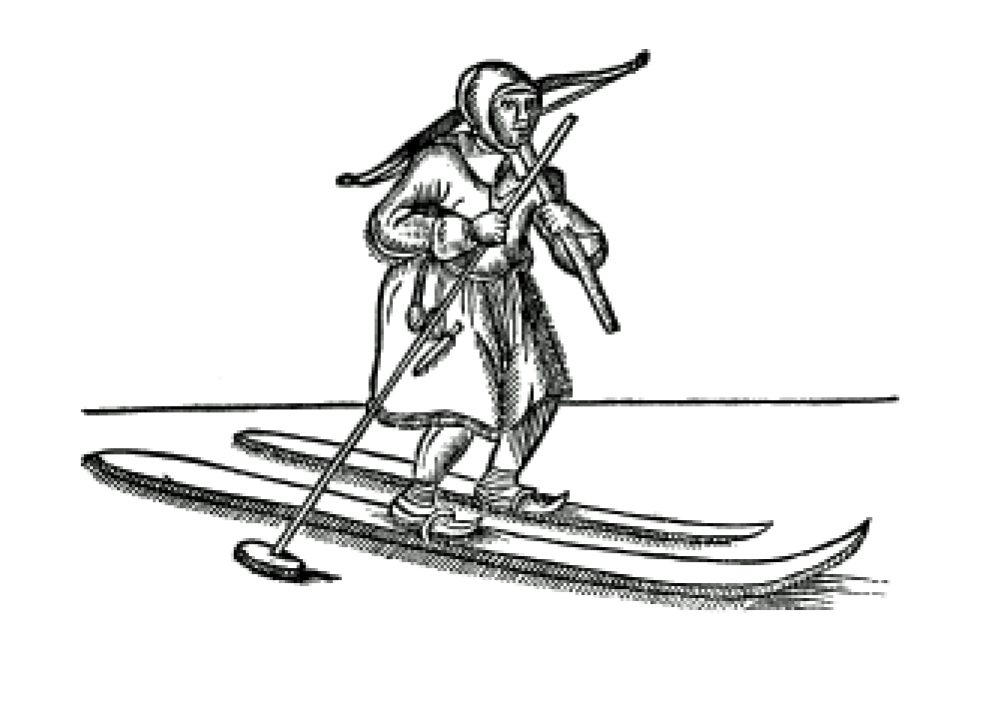
Cross-country skiing is a form of skiing whereby skiers traverse snow-covered terrain without use of ski lifts or other assistance. Cross-country skiing is widely practiced as a sport and recreational activity; however, some still use it as a means of travel. Variants of cross-country skiing are adapted to a range of terrain which spans unimproved, sometimes mountainous terrain to groomed courses that are specifically designed for the sport. Modern cross-country skiing is similar to the original form of skiing, from which all skiing disciplines evolved, including alpine skiing, ski jumping and Telemark skiing. Skiers propel themselves either by striding forward (classic style) or side-to-side in a skating motion (skate skiing), aided by arms pushing on ski poles against the snow. It is practised in regions with snow-covered landscapes, including Europe, Canada, Russia, the United States, Australia and New Zealand. Cross-country skiing (sport), Competitive cross-country skiing i ... [...More Info...] [...Related Items...] OR: [Wikipedia] [Google] [Baidu] |
Biking
Cycling, also known as bicycling or biking, is the activity of riding a bicycle or other types of pedal-driven human-powered vehicles such as balance bikes, unicycles, tricycles, and quadricycles. Cycling is practised around the world for purposes including transport, recreation, exercise, and competitive sport. History Cycling became popularized in Europe and North America in the latter part and especially the last decade of the 19th century. Today, over 50 percent of the human population knows how to ride a bike. War The bicycle has been used as a method of reconnaissance as well as transporting soldiers and supplies to combat zones. In this it has taken over many of the functions of horses in warfare. In the Second Boer War, both sides used bicycles for scouting. In World War I, France, Germany, Australia and New Zealand used bicycles to move troops. In its 1937 invasion of China, Japan employed some 50,000 bicycle troops, and similar forces were instrumental in ... [...More Info...] [...Related Items...] OR: [Wikipedia] [Google] [Baidu] |
Hiking
A hike is a long, vigorous walk, usually on trails or footpaths in the countryside. Walking for pleasure developed in Europe during the eighteenth century. Long hikes as part of a religious pilgrimage have existed for a much longer time. "Hiking" is the preferred term in Canada and the United States; the term "walking" is used in these regions for shorter, particularly urban walks. In the United Kingdom and Ireland, the word "walking" describes all forms of walking, whether it is a walk in the park or backpacking in the Alps. The word hiking is also often used in the UK, along with rambling, hillwalking, and fell walking (a term mostly used for hillwalking in northern England). The term bushwalking is endemic to Australia, having been adopted by the Sydney Bush Walkers Club in 1927. In New Zealand a long, vigorous walk or hike is called tramping. It is a popular activity with numerous hiking organizations worldwide, and studies suggest that all forms of walking have health b ... [...More Info...] [...Related Items...] OR: [Wikipedia] [Google] [Baidu] |


