|
Telford
Telford () is a town in the borough of Telford and Wrekin and ceremonial county of Shropshire, England, about east of Shrewsbury, south west of Stafford, north west of Wolverhampton and from Birmingham in the same direction. With an estimated population (for the borough) of 175,271 in 2017 and 142,723 in Telford itself, Telford is the largest town in Shropshire and one of the fastest-growing towns in the United Kingdom. It is named after the civil engineer Thomas Telford, who engineered many road, canal and rail projects in Shropshire. The town was put together in the 1960s and 1970s as a new town on previously industrial and agricultural land and towns. Like other planned towns of the era, Telford was created from the merger of other settlements and towns, most notably the towns of Wellington, Oakengates, Madeley and Dawley. Telford Shopping Centre, a modern shopping mall, was constructed at the new town's geographical centre, along with an extensive Town Park. Th ... [...More Info...] [...Related Items...] OR: [Wikipedia] [Google] [Baidu] |
Thomas Telford
Thomas Telford FRS, FRSE, (9 August 1757 – 2 September 1834) was a Scottish civil engineer. After establishing himself as an engineer of road and canal projects in Shropshire, he designed numerous infrastructure projects in his native Scotland, as well as harbours and tunnels. Such was his reputation as a prolific designer of highways and related bridges, he was dubbed ''The Colossus of Roads'' (a pun on the Colossus of Rhodes), and, reflecting his command of all types of civil engineering in the early 19th century, he was elected as the first President of the Institution of Civil Engineers, a post he held for 14 years until his death. The town of Telford in Shropshire was named after him. Early career Telford was born on 9 August 1757, at Glendinning, a hill farm east of Eskdalemuir Kirk, in the rural parish of Westerkirk, in Eskdale, Dumfriesshire. His father John Telford, a shepherd, died soon after Thomas was born. Thomas was raised in poverty by his mother Janet Jac ... [...More Info...] [...Related Items...] OR: [Wikipedia] [Google] [Baidu] |
Shropshire
Shropshire (; alternatively Salop; abbreviated in print only as Shrops; demonym Salopian ) is a landlocked historic county in the West Midlands region of England. It is bordered by Wales to the west and the English counties of Cheshire to the north, Staffordshire to the east, Worcestershire to the southeast, and Herefordshire to the south. A unitary authority of the same name was created in 2009, taking over from the previous county council and five district councils, now governed by Shropshire Council. The borough of Telford and Wrekin has been a separate unitary authority since 1998, but remains part of the ceremonial county. The county's population and economy is centred on five towns: the county town of Shrewsbury, which is culturally and historically important and close to the centre of the county; Telford, which was founded as a new town in the east which was constructed around a number of older towns, most notably Wellington, Dawley and Madeley, which is today th ... [...More Info...] [...Related Items...] OR: [Wikipedia] [Google] [Baidu] |
Telford Shopping Centre
Telford Shopping Centre is a indoor shopping centre in Telford, Shropshire, England. It is located in the geographical and economic centre of the new town, on land which was previously undeveloped. The trustees of the shopping centre are registered offshore for tax purposes. It is the largest shopping area in the ceremonial county of Shropshire, being located roughly equidistant between Shrewsbury and the West Midlands conurbation. With a floor area of 100,000 m2, the centre is one of the twenty five largest in the country, and has an average footfall of 300,000 per week, equating to 15 million per annum. The centre is located on a site, containing over 175 stores. The term Telford Town Centre is often used to refer to the shopping centre alone, but the town centre also encompasses the town park and surrounding areas of central Telford. The centre's logo features The Iron Bridge, of nearby Ironbridge, a UNESCO World Heritage Site. In 2008 the centre was ranked as 14th best in ... [...More Info...] [...Related Items...] OR: [Wikipedia] [Google] [Baidu] |
Telford And Wrekin
Telford and Wrekin is a borough and unitary authority in Shropshire, England. In 1974, a non-metropolitan district of Shropshire was created called The Wrekin. In 1998, the district became a unitary authority and was renamed "Telford and Wrekin", which remains part of the Shropshire ceremonial county and shares institutions such as the Fire and Rescue Service and Community Health with the rest the county. The borough's major settlement is Telford, which was designated a "new town" in the 1960s and incorporated the towns of Dawley, Madeley, Oakengates, and Wellington. After the Telford conurbation, which includes the aforementioned towns, the next-largest settlement is Newport which is located in the northeast of the borough and isn't part of the original new town of Telford. The borough borders Staffordshire, but is surrounded by the unitary district of Shropshire which covers the area previously administrated by Shropshire County Council. History The district was created on ... [...More Info...] [...Related Items...] OR: [Wikipedia] [Google] [Baidu] |
Telford Town Park
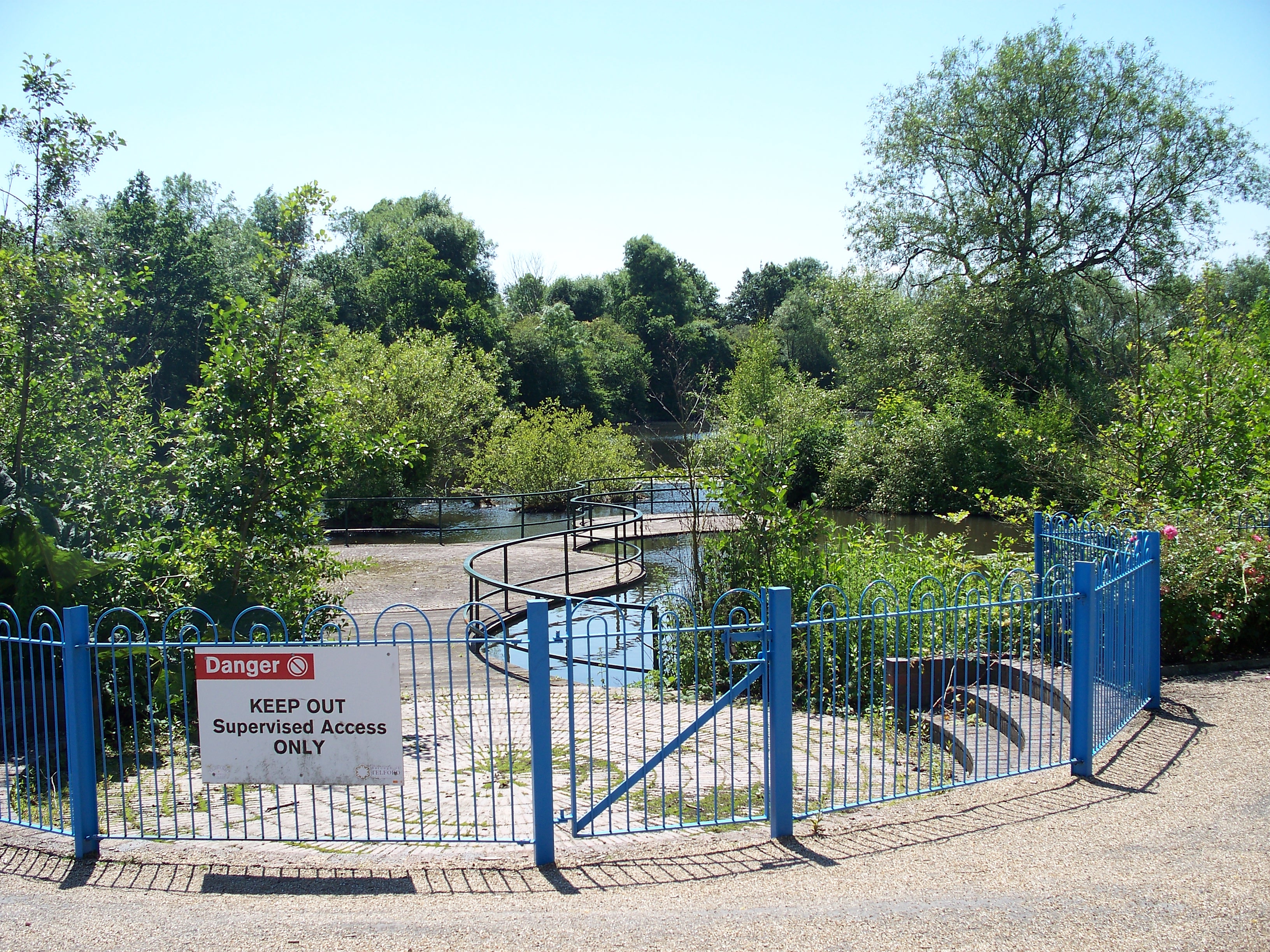
Telford Town Park is a park and Local Nature Reserve in Telford in Shropshire. In 2015, it was voted "UK's Best Park" in the inaugural public competition organised by Fields in Trust History The Anglo-Saxon period saw the first real changes made to the area later to become Telford Town Park. Early settlers cleared woodland to create land suitable for farming. These became the starting points for places like Dawley, Stirchley and Malinslee, the key catchment areas that surround Telford Town Park ('Ley' is an Anglo-Saxon word meaning a clearing in the wood). In the 13th century much of the land around Stirchley was given to the Cistercian monks of Buildwas Abbey. It was these monks who built the original Grange at Stirchley and farmed the surrounding land until the 1530s. The relatively peaceful scene of small farmsteads separated by hedges and woodlands continued until the dramatic changes brought about by the Industrial Revolution. Valuable raw materials such as coal a ... [...More Info...] [...Related Items...] OR: [Wikipedia] [Google] [Baidu] |
M54 Motorway
The M54 is a 23-mile (37 km) east-west motorway in the counties of Shropshire and Staffordshire, England. It is also referred to as the Telford motorway, after the road's primary westbound destination, the town of Telford. It cost £65 million to construct, and is two-lane dual carriageway for the majority of its length, with sections of three-lane. The M54 spur connects the M6 motorway near Essington, Staffordshire with the A5 trunk road at Wellington, Shropshire. The motorway forms part of the strategic route to North Wales, roughly following the path of the Roman Watling Street and the A5 north-westwards, towards the port of Holyhead. It is the only motorway in Shropshire, and forms a vital part of the county's road network. In 2007, the motorway handled an annual average daily traffic of between 50,300 (J2–3) and 41,800 (J4–5) vehicles. History Planning The idea of the M54 was originally presented due to the high volumes of traffic on the A5, London to Holy ... [...More Info...] [...Related Items...] OR: [Wikipedia] [Google] [Baidu] |
Madeley, Shropshire
Madeley is a constituent town and civil parish in Telford and Wrekin in Shropshire, England. The parish had a population of 17,935 at the 2001 census. Madeley is recorded in the Domesday Book, having been founded before the 8th century. Historically, Madeley's industrial activity has largely been in mining, and later, manufacturing, which is still a large employer in the town, along with service industries. Parts of the parish fall within the UNESCO World Heritage Site of Ironbridge Gorge, the site of The Iron Bridge, and a key area in the development of Industry. History The settlement of Madeley is recorded as far back as the Domesday Book. The town was founded prior to the 8th century, and subsequently became a market town in the 13th century. Sigward, a local ruler in the time of King Æthelbald of Mercia, is said to have held 3 hides of land at Madeley. Between 727 and 736 he sold his holdings to Mildburh, daughter of Merewalh, sub-king of the Magonsæte. She was the ... [...More Info...] [...Related Items...] OR: [Wikipedia] [Google] [Baidu] |
Telford (UK Parliament Constituency)
Telford is a constituency represented in the House of Commons of the UK Parliament since May 2015 by Lucy Allan, a Conservative, who defeated David Wright, the former Labour Party MP for the seat. Members of Parliament Constituency profile The constituency is generally urban and covers Telford New Town. There is a significant technology sector. Residents are slightly poorer than the UK average. Boundaries Telford is made up of several old industrial towns to the north of the River Severn and on the eastern flanks of the Wrekin (including Madeley, Dawley and the small townships in the Ironbridge Gorge) and numerous New Town developments including Woodside. However, not all of the Telford New Town developments are in the constituency; the northern parts and some western areas (including the town of Wellington) which pre-dates Telford, are in The Wrekin constituency. All of the constituency is covered by Telford and Wrekin Council. 2010–present: The Borough of Telford ... [...More Info...] [...Related Items...] OR: [Wikipedia] [Google] [Baidu] |
Wellington, Shropshire
Wellington is a market town in Telford and Wrekin, Shropshire, England. It is situated 4 miles (6 km) northwest of central Telford and 12 miles (19 km) east of Shrewsbury. The summit of The Wrekin lies 3 miles southwest of the town. The total town population of Wellington was 25,554 in 2011, making it by far the largest of the borough towns and the third largest town in Shropshire if counting it as its own town separate from Telford itself. History A church has stood for almost 1,000 years and a priest is mentioned in the Domesday Book. The original churchyard still remains. A new church, designed by George Steuart, was built in 1789. Wellington's first market charter was granted to Giles of Erdington, lord of the manor, in 1244 and a market still exists today. The market had an open-sided market hall by 1680, and possibly much earlier, but it was dismantled in about 1805. In 1841 a market company was formed to purchase the market rights from Lord Forester in 1856. In ... [...More Info...] [...Related Items...] OR: [Wikipedia] [Google] [Baidu] |
Dawley
Dawley ( ) is a constituent town and civil parish in Telford and Wrekin in Shropshire, England. It was originally, in 1963, going to be the main centre of the 'Dawley New Town' plan before it was decided in 1968 to name the new town as 'Telford', after the engineer and road-builder Thomas Telford. Dawley now forms part of Telford which is north of the town itself. Dawley is one of the older settlements in Shropshire, being mentioned in the Domesday Book (1086). It is divided into ''Dawley Magna'' ("Great Dawley") and Little Dawley (also shown as ''Dawley Parva'' ("Little Dawley") on older maps). Etymology The name Dawley comes from Old English meaning ''woodland clearing associated with a man called Dealla''. Local government The town's main civil parish is officially called Great Dawley – its parish council is officially Great Dawley Town Council. Dawley Hamlets is a separate civil parish, which covers Little Dawley and other neighbouring villages/suburbs. Railways The ne ... [...More Info...] [...Related Items...] OR: [Wikipedia] [Google] [Baidu] |
The Wrekin (UK Parliament Constituency)
The Wrekin is a List of United Kingdom Parliament constituencies, constituency in the House of Commons of the United Kingdom, House of Commons of the Parliament of the United Kingdom, British Parliament, located in the Counties of England, county of Shropshire in the West Midlands (region), West Midlands of England. It has existed continuously since its creation by the Representation of the People Act 1918, and is named after a prominent landmark hill in the area, The Wrekin. The constituency has periodically swung back and forth between the Labour Party (UK), Labour and Conservative Party (UK), Conservative parties since the 1920s, and has been held since 2005 by a Conservative MP, Mark Pritchard (politician), Mark Pritchard. History ;Political history The seat saw a first winning candidate from the Labour Party (UK), Labour Party relatively early in its history, in 1923. The seat alternated between the two largest modern parties eight times between 1923 and 1979. In more rece ... [...More Info...] [...Related Items...] OR: [Wikipedia] [Google] [Baidu] |
Oakengates
Oakengates is a constituent town and civil parish in Telford and Wrekin, Shropshire, England. The towns parish population was recorded as 8,517 in the 2001 census. Etymology The name is not derived from "oak" or "gates" but is derived from the Ancient Brythonic name for the valley which was Usc-con, meaning The Lake(Usc(water) and the confluence(Cond) of two streams (see Cartlidge), and from the Old Norse gata, path; see gh- in Indo-European roots. meaning boundary or Road. So Usc-con gait is at the Road at the vale of Usc-con. ''The Vales and Gates of Usc-Con: A history of Oakengates'' was written by local historian Reverend J.E.G. Cartlidge whose name is commemorated in the name of the retirement home Cartlidge House. History Transport In the late 18th century the Ketley Canal was constructed to carry coal and ironstone from Oakengates to Ketley works. The canal has long since fallen into disuse and little trace of it can be found today. The first boat lift in Britain was a ... [...More Info...] [...Related Items...] OR: [Wikipedia] [Google] [Baidu] |

.jpg)


