|
Tobífera Formation
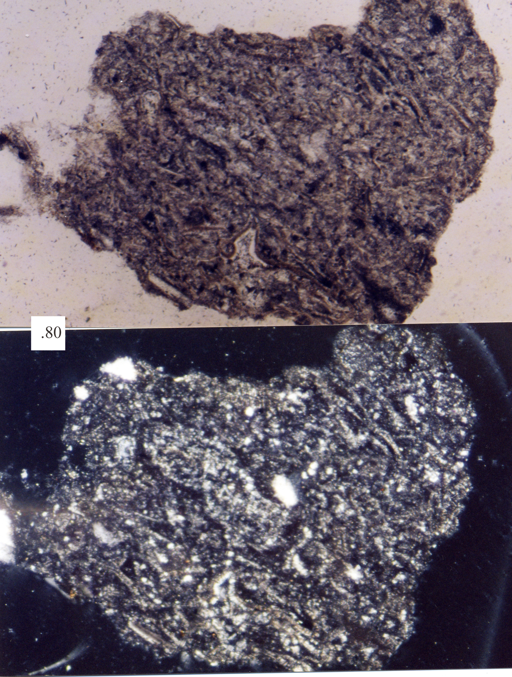
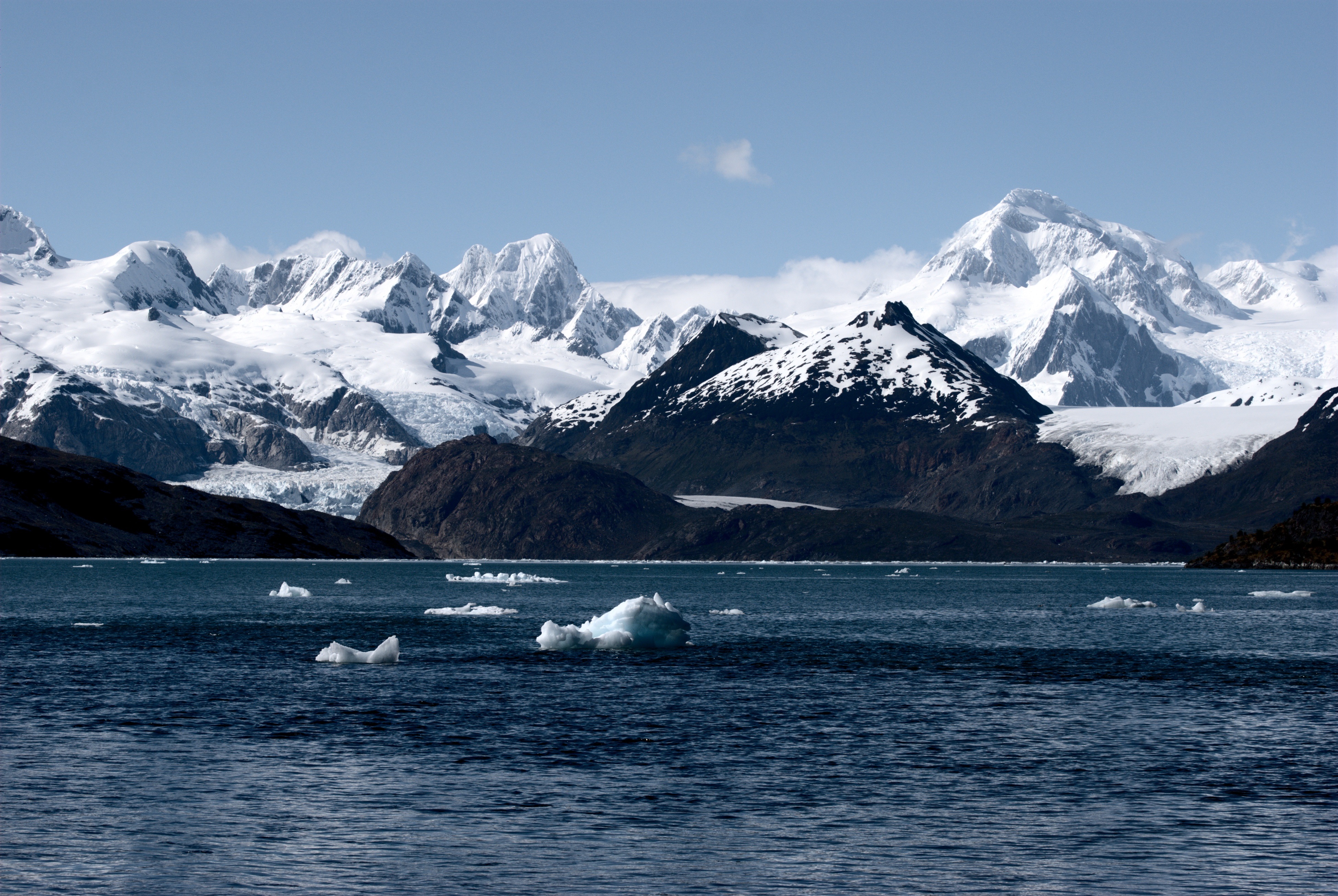
Tobífera Formation () is a Volcano-sedimentary sequence, volcano-sedimentary sedimentary formation, formation of Middle Jurassic, Middle to Late Jurassic age. The formation is crops out in the Magallanes Region in southern Patagonia and Tierra del Fuego of Chile, the Santa Cruz Province, Argentina, Santa Cruz Province of southern Argentina, and in the subsurface of the Malvinas Basin offshore Argentina and the Falkland Islands. Description The bulk of the formation originates from felsic, silicic pyroclast, pyroclastic material during a period of bimodal volcanism in Magallanes Basin, Rocas Verdes Basin, a rift sedimentary basin, basin.Fildani, Andrea, Romans, B.W., Fosdick, J.C., Crane, W.H., and Hubbard, S.M. (2008)Orogenesis of the Patagonian Andes as reflected by basin evolution in southernmost South America in Spencer, J.E., and Titley, S.R., eds., Ores and orogenesis: Circum-Pacific tectonics, geologic evolution, and ore deposits: ''Arizona Geological Society Digest'' 22: ... [...More Info...] [...Related Items...] OR: [Wikipedia] [Google] [Baidu] |
Geological Formation
A geological formation, or simply formation, is a body of rock having a consistent set of physical characteristics (lithology) that distinguishes it from adjacent bodies of rock, and which occupies a particular position in the layers of rock exposed in a geographical region (the stratigraphic column). It is the fundamental unit of lithostratigraphy, the study of strata or rock layers. A formation must be large enough that it can be mapped at the surface or traced in the subsurface. Formations are otherwise not defined by the thickness (geology), thickness of their rock strata, which can vary widely. They are usually, but not universally, tabular in form. They may consist of a single lithology (rock type), or of alternating beds of two or more lithologies, or even a heterogeneous mixture of lithologies, so long as this distinguishes them from adjacent bodies of rock. The concept of a geologic formation goes back to the beginnings of modern scientific geology. The term was used by ... [...More Info...] [...Related Items...] OR: [Wikipedia] [Google] [Baidu] |
Cordillera Darwin Metamorphic Complex
The Cordillera Darwin Metamorphic Complex is a geologic complex composed chiefly of metamorphic rocks located in southern Tierra del Fuego. It has been suggested that the Cordillera Darwin Metamorphic Complex is analogous to the Eastern Andes Metamorphic Complex. The Cordillera Darwin Metamorphic Complex is the only metamorphic complex in the southern Andes known to have amphibolite facies rocks containing kyanite and sillimanite which evidences high-grade metamorphism. High-grade metamorphism took place during the Cretaceous purportedly in association with the closure of the Rocas Verdes Basin. The protolith A protolith () is the original, unmetamorphosed rock from which a given metamorphic rock is formed. For example, the protolith of a slate is a shale or mudstone. Metamorphic rocks can be derived from any other kind of non-metamorphic rock and ...s of Cordillera Darwin Metamorphic Complex are unrelated to Tierra del Fuego Igneous and Metamorphic Complex despite prese ... [...More Info...] [...Related Items...] OR: [Wikipedia] [Google] [Baidu] |
Sedimentary Basin
Sedimentary basins are region-scale depressions of the Earth's crust where subsidence has occurred and a thick sequence of sediments have accumulated to form a large three-dimensional body of sedimentary rock They form when long-term subsidence creates a regional depression that provides Accommodation (geology), accommodation space for accumulation of sediments. Over millions or tens or hundreds of millions of years the deposition of sediment, primarily gravity-driven transportation of water-borne eroded material, acts to fill the depression. As the sediments are buried, they are subject to increasing pressure and begin the processes of compaction (geology), compaction and lithification that transform them into sedimentary rock. Sedimentary basins are created by deformation of Earth's lithosphere in diverse geological settings, usually as a result of plate tectonics, plate tectonic activity. Mechanisms of crustal deformation that lead to subsidence and sedimentary basin formatio ... [...More Info...] [...Related Items...] OR: [Wikipedia] [Google] [Baidu] |
Rift
In geology, a rift is a linear zone where the lithosphere is being pulled apart and is an example of extensional tectonics. Typical rift features are a central linear downfaulted depression, called a graben, or more commonly a half-graben with normal faulting and rift-flank uplifts mainly on one side. Where rifts remain above sea level they form a rift valley, which may be filled by water forming a rift lake. The axis of the rift area may contain volcanic rocks, and active volcanism is a part of many, but not all, active rift systems. Major rifts occur along the central axis of most mid-ocean ridges, where new oceanic crust and lithosphere is created along a divergent boundary between two tectonic plates. ''Failed rifts'' are the result of continental rifting that failed to continue to the point of break-up. Typically the transition from rifting to spreading develops at a triple junction where three converging rifts meet over a hotspot. Two of these evolve to t ... [...More Info...] [...Related Items...] OR: [Wikipedia] [Google] [Baidu] |
Bimodal Volcanism
Bimodal volcanism is the eruption of both mafic and felsic lavas from a single volcanic centre with little or no lavas of intermediate composition. This type of volcanism is normally associated with areas of extensional tectonics, particularly rifts. Occurrence Most occurrences of bimodal volcanism are associated with thinning of the crust and the presence of such rocks in metamorphic sequences has been used to provide evidence for past rifting events. Most examples come from areas of active continental rifting such as the Basin and Range Province. Bimodal volcanism has also been described from areas of transtension, the early phases of back-arc basin formation and in the products of both continental and oceanic hotspots (e.g. Yellowstone, Anahim and the Canary Islands). Mechanism of formation Bimodal volcanism is normally explained as a result of partial melting of the crust, creating granitic magmas, during the emplacement of large volumes of relatively hot basaltic magma from ... [...More Info...] [...Related Items...] OR: [Wikipedia] [Google] [Baidu] |
Pyroclast
Tephra is fragmental material produced by a Volcano, volcanic eruption regardless of composition, fragment size, or emplacement mechanism. Volcanologists also refer to airborne fragments as pyroclasts. Once clasts have fallen to the ground, they remain as tephra unless hot enough to fuse into pyroclastic rock or tuff. When a volcano explodes, it releases a variety of tephra including ash, cinders, and blocks. These layers settle on the land and, over time, sedimentation occurs incorporating these tephra layers into the geologic record. Tephrochronology is a geochronological technique that uses discrete layers of tephra—volcanic ash from a single eruption—to create a chronological framework in which Paleoecology, paleoenvironmental or Archaeology, archaeological records can be placed. Often, when a volcano explodes, biological organisms are killed and their remains are buried within the tephra layer. These fossils are later dated by scientists to determine the age of the ... [...More Info...] [...Related Items...] OR: [Wikipedia] [Google] [Baidu] |
Felsic
In geology, felsic is a grammatical modifier, modifier describing igneous rocks that are relatively rich in elements that form feldspar and quartz.Marshak, Stephen, 2009, ''Essentials of Geology,'' W. W. Norton & Company, 3rd ed. It is contrasted with mafic rocks, which are richer in magnesium and iron. Felsic refers to silicate minerals, magma, and rock (geology), rocks which are enriched in the lighter elements such as silicon, oxygen, aluminium, sodium, and potassium. Molten felsic magma and lava is more viscosity, viscous than molten mafic magma and lava. Felsic magmas and lavas have lower temperatures of melting and solidification than mafic magmas and lavas. Felsic rocks are usually light in color and have specific gravity, specific gravities less than 3. The most common felsic rock is granite. Common felsic minerals include quartz, muscovite, orthoclase, and the sodium-rich plagioclase feldspars (albite-rich). Terminology Acid rock In modern usage, the term ''acid rock ... [...More Info...] [...Related Items...] OR: [Wikipedia] [Google] [Baidu] |
Falkland Islands
The Falkland Islands (; ), commonly referred to as The Falklands, is an archipelago in the South Atlantic Ocean on the Patagonian Shelf. The principal islands are about east of South America's southern Patagonian coast and from Cape Dubouzet at the northern tip of the Antarctic Peninsula, at a latitude of about 52°S. The archipelago, with an area of , comprises East Falkland, West Falkland, and 776 smaller islands. As a British Overseas Territory, the Falklands have internal self-governance, while the United Kingdom takes responsibility for their defence and foreign affairs. The capital and largest settlement is Stanley, Falkland Islands, Stanley on East Falkland. The islands are believed to have been uninhabited prior to European discovery in the 17th century. Controversy exists over the Falklands' discovery and subsequent colonisation by Europeans. At various times, the islands have had French, British, Spanish, and Argentine settlements. Britain Reassertion of Britis ... [...More Info...] [...Related Items...] OR: [Wikipedia] [Google] [Baidu] |
Tierra Del Fuego
Tierra del Fuego (, ; Spanish for "Land of Fire", rarely also Fireland in English) is an archipelago off the southernmost tip of the South America, South American mainland, across the Strait of Magellan. The archipelago consists of the main island, Isla Grande de Tierra del Fuego, with an area of , along with numerous smaller islands, including Cape Horn and Diego Ramírez Islands. The western part of the Tierra del Fuego archipelago, about two-thirds including its many islands, is part of Chile, and the eastern part is part of Argentina. The southernmost extent of the archipelago, Cape Horn, lies just north of latitude 56th parallel south, 56°S. The earliest-known human settlement in Tierra del Fuego dates to approximately 8,000 BC. Europeans first explored the islands during Ferdinand Magellan's expedition of 1520. ''Tierra del Fuego'' ("Land of Fire") and similar names stem from sightings of the many fires that the inhabitants built along the coastline and possibly even in ... [...More Info...] [...Related Items...] OR: [Wikipedia] [Google] [Baidu] |
Patagonia
Patagonia () is a geographical region that includes parts of Argentina and Chile at the southern end of South America. The region includes the southern section of the Andes mountain chain with lakes, fjords, temperate rainforests, and glaciers in the west and Patagonian Desert, deserts, Plateaus, tablelands, and steppes to the east. Patagonia is bounded by the Pacific Ocean on the west, the Atlantic Ocean to the east, and many bodies of water that connect them, such as the Strait of Magellan, the Beagle Channel, and the Drake Passage to the south. The northern limit of the region is not precisely defined; the Colorado River, Argentina, Colorado and Barrancas River, Barrancas rivers, which run from the Andes to the Atlantic, are commonly considered the northern limit of Argentine Patagonia. The archipelago of Tierra del Fuego is sometimes considered part of Patagonia. Most geographers and historians locate the northern limit of Chilean Patagonia at Huincul Fault, in Araucanía R ... [...More Info...] [...Related Items...] OR: [Wikipedia] [Google] [Baidu] |
Magallanes Region
The Magallanes Region (), officially the Magallanes y la Antártica Chilena Region () or Magallanes and the Chilean Antarctica Region in English, is one of Chile's 16 first order administrative divisions. It is the southernmost, largest, and second least populated Regions of Chile, region of Chile. It comprises four provinces of Chile, provinces: Última Esperanza Province, Última Esperanza, Magallanes Province, Magallanes, Tierra del Fuego Province, Chile, Tierra del Fuego, and Antártica Chilena. The region takes its name from the Strait of Magellan which runs through it, which was in turn named after Ferdinand Magellan, the leader of the European expedition that discovered it. Magallanes's geographical features include Torres del Paine, Cape Horn, Tierra del Fuego island, and the Strait of Magellan. It also includes the Chilean Antarctic Territory, Antarctic territory claimed by Chile. Despite its large area, much of the land in the region is rugged or closed off for sheep f ... [...More Info...] [...Related Items...] OR: [Wikipedia] [Google] [Baidu] |
Sedimentary Formation
A geological formation, or simply formation, is a body of rock having a consistent set of physical characteristics ( lithology) that distinguishes it from adjacent bodies of rock, and which occupies a particular position in the layers of rock exposed in a geographical region (the stratigraphic column). It is the fundamental unit of lithostratigraphy, the study of strata or rock layers. A formation must be large enough that it can be mapped at the surface or traced in the subsurface. Formations are otherwise not defined by the thickness of their rock strata, which can vary widely. They are usually, but not universally, tabular in form. They may consist of a single lithology (rock type), or of alternating beds of two or more lithologies, or even a heterogeneous mixture of lithologies, so long as this distinguishes them from adjacent bodies of rock. The concept of a geologic formation goes back to the beginnings of modern scientific geology. The term was used by Abraham Gottlob ... [...More Info...] [...Related Items...] OR: [Wikipedia] [Google] [Baidu] |


