|
Timahoe
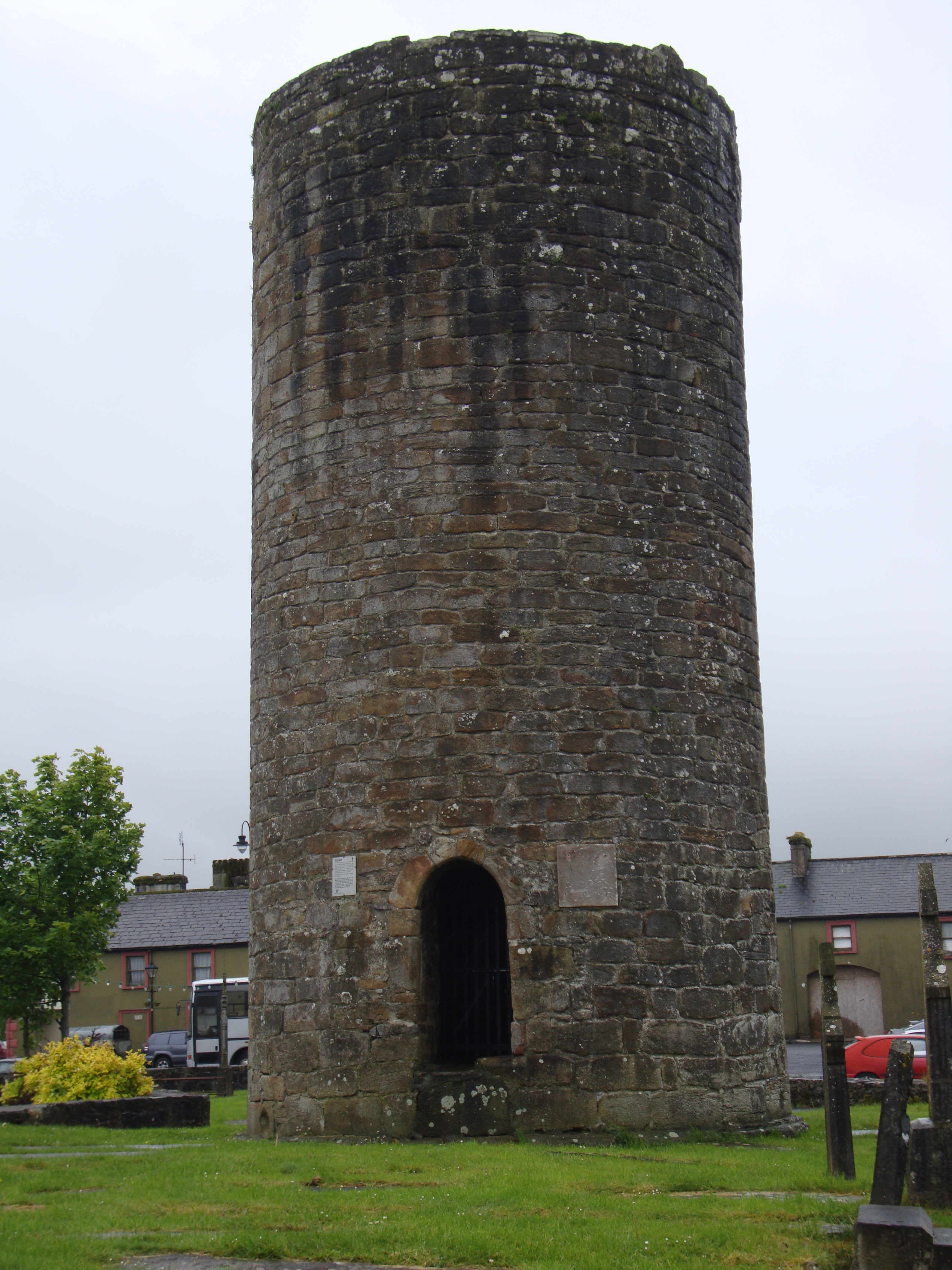
Timahoe (: 'House of Mochua') is a village in County Laois, Ireland, south of Portlaoise on the R426 regional road. The population of Timahoe in 2002 was 517, a 2.6% increase since 1996. It increased to 527 in 2006. Retrieved dead link with Wayback Machine, 14 October 2020 The 2021 population was recorded as 569. The population over the years has only very slightly increased. In 2008, a Timahoe Village Plan, to inform "any future developments which may occur within the development boundary of Timahoe", was drawn up to present to Laois County Council under the ''Laois County Development Plan 2006- 2012''. This plan looked at aspects such as land use zoning, social infrastructure, community facilities and physical infrastructure. The objective of the plan was to provide a development plan for the village to service the area over a 6-year period and to enhance the character of the village. History The village of Timahoe received its name from Saint Mochua who founded a monaste ... [...More Info...] [...Related Items...] OR: [Wikipedia] [Google] [Baidu] |
Timahoe Esker
Timahoe Esker is a national nature reserve of approximately located in County Laois, Ireland. It is managed by the Irish National Parks & Wildlife Service. Location Timahoe Esker is around 10 km south-east of Portlaoise. The southern end is around 1 km north of the village of Timahoe, and the "Esker Walk" is a 1 km-long trail along the esker. Features Timahoe Esker was legally protected as a national nature reserve by the Irish government in 1985. It is also deemed to be a site of County Geological Significance by the Geological Survey of Ireland. Timahoe Esker, with Richmond Esker, is one of only a small number of esker ridges that remain in Ireland and that have native woodland. The area was planted with conifers in 1963. The woodland is made up of ash, pedunculate oak and grey willow with hazel and hawthorn. Other flora on the site include bugle, shield fern, and bluebells. Long-tailed tits nest on the site. Buckthorn, blue fleabane and carline thistle ... [...More Info...] [...Related Items...] OR: [Wikipedia] [Google] [Baidu] |
County Laois
County Laois ( ; ) is a county in Ireland. It is part of the Eastern and Midland Region and in the province of Leinster. It was known as Queen's County from 1556 to 1922. The modern county takes its name from Loígis, a medieval kingdom. Historically, it has also been known as County Leix. Laois County Council is the local authority for the county, and is based in Portlaoise. At the 2022 census, the population of the county was 91,657, an increase of 56% since the 2002 census. History Prehistoric The first people in Laois were bands of hunters and gatherers who passed through the county about 8,500 years ago. They hunted in the forests that covered Laois and fished in its rivers, gathering nuts and berries to supplement their diets. Next came Ireland's first farmers. These people of the Neolithic period (4000 to 2500 BC) cleared forests and planted crops. Their burial mounds remain in Clonaslee and Cuffsborough. Starting around 2500 BC, the people of the Bronze Age lived ... [...More Info...] [...Related Items...] OR: [Wikipedia] [Google] [Baidu] |
Irish Round Tower
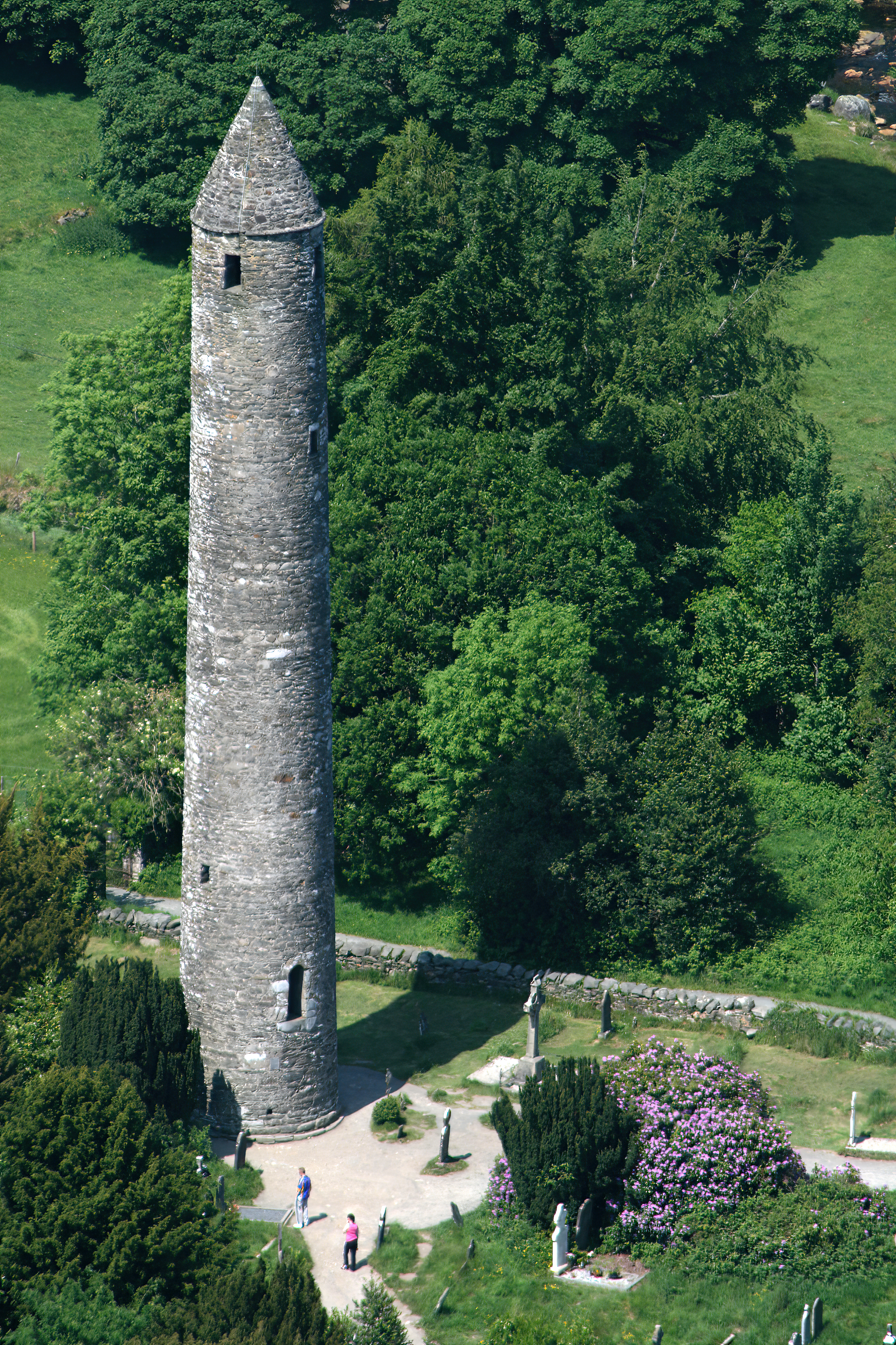
Irish round towers ( (singular), (plural); Literal translation, literally 'bell house') are early medieval stone towers of a type found mainly in Ireland, with two in Scotland and one on the Isle of Man. As their name indicates, they were originally bell towers, though they may have been later used for additional purposes. A tower of this kind is generally found in the vicinity of a church or monastery, with the door of the tower facing the west doorway of the church. Knowledge of this fact has made it possible, where towers still exist, to determine without excavation the approximate sites of lost churches that once stood nearby. Construction and distribution Surviving towers range in height from to , and to in circumference; that at Kilmacduagh monastery, Kilmacduagh being the highest surviving in Ireland (and leaning out of perpendicular). The masonry differs according to date, the earliest examples being uncut rubble, while the later ones are of neatly joined stonewor ... [...More Info...] [...Related Items...] OR: [Wikipedia] [Google] [Baidu] |
Portlaoise
Portlaoise ( ), or Port Laoise (), is the county town of County Laois, Republic of Ireland, Ireland. It is in the Midland Region, Ireland, South Midlands in the province of Leinster. Portlaoise was the fastest growing of the top 20 largest towns and cities in Ireland from 2011 to 2016. However, the 2022 census of Ireland, 2022 census shows that the town's population increased by 6.6% to 23,494, which was below the national average of 8%. It is the most populous and also the most densely populated town in the Midland Region, Ireland, Midland Region, which has a total population of 317,999 at the 2022 census of Ireland, 2022 census. It was an important town in the sixteenth century, as the site of the Fort of Maryborough, a fort built by English settlers during the Plantations of Ireland#Early plantations (1556–1576), Plantation of Queen's County. Portlaoise is fringed by the Slieve Bloom Mountains, Slieve Bloom mountains to the west and north-west and the Great Heath of Mary ... [...More Info...] [...Related Items...] OR: [Wikipedia] [Google] [Baidu] |
List Of Sovereign States
The following is a list providing an overview of sovereign states around the world with information on their status and recognition of their sovereignty. The 205 listed states can be divided into three categories based on membership within the United Nations System: 193 member states of the United Nations, UN member states, two United Nations General Assembly observers#Current non-member observers, UN General Assembly non-member observer states, and ten other states. The ''sovereignty dispute'' column indicates states having undisputed sovereignty (188 states, of which there are 187 UN member states and one UN General Assembly non-member observer state), states having disputed sovereignty (15 states, of which there are six UN member states, one UN General Assembly non-member observer state, and eight de facto states), and states having a political status of the Cook Islands and Niue, special political status (two states, both in associated state, free association with New ... [...More Info...] [...Related Items...] OR: [Wikipedia] [Google] [Baidu] |
Cronan Mochua
Mo Chua or Crónán mac Bécáin, also called Claunus, Cuan, Mochua, Moncan and Moncain (died 30 March 637) was a legendary Irish saint who founded the monastery in Balla. Life Mo Chua was the youngest of the three sons of Becan (supposedly descended from Lugaid mac Con) and Cumne (daughter of Conamail of the Dál mBuinne). His hair fell out in patches, and he worked as a shepherd. Comgall of Bangor happening to visit Becan's house, and finding Mo Chua neglected by the family, took him with him to Bangor Abbey to educate him.Grattan-Flood, William. "Cronan." The Catholic Encyclopedia Vol. 4. New York: Robert Appleton Company, 1908. 29 July 2019 [...More Info...] [...Related Items...] OR: [Wikipedia] [Google] [Baidu] |
Esker
An esker, eskar, eschar, or os, sometimes called an ''asar'', ''osar'', or ''serpent kame'', is a long, winding ridge of stratified sand and gravel, examples of which occur in glaciated and formerly glaciated regions of Europe and North America. Eskers are frequently several kilometres long and, because of their uniform shape, look like railway embankments. Etymology The term ''esker'' is derived from the Irish word (), which means "ridge or elevation, especially one separating two plains or depressed surfaces". The Irish word was and is used particularly to describe long sinuous ridges, which are now known to be deposits of fluvio-glacial material. The best-known example of such an ''eiscir'' is the '' Eiscir Riada'', which runs nearly the whole width of Ireland from Dublin to Galway, a distance of , and is still closely followed by the main Dublin–Galway road The synonym ''os'' comes from the Swedish word , "ridge". Geology Most eskers are argued to have formed with ... [...More Info...] [...Related Items...] OR: [Wikipedia] [Google] [Baidu] |
Killeshin Church
Killeshin Church is a 12th-century Romanesque church and National Monument located in County Laois, Ireland. Location Killeshin Church is located near Killeshin village, on the south bank of the Fushoge River (a tributary of the Barrow), about 5 km (3 mi) west of Carlow town. A ringfort, known as Killeshin moat, stands to the southeast. History A monastery was founded on the site c. AD 545 by Diarmait mac Siabairr, a member of the local Uí Bairrche ruling family. The monastery was plundered by Diarmait mac Máel na mBó in 1041; the '' dairthech'' (oak prayer house) was demolished, a hundred people taken away as slaves and 700 cattle also seized. This attack was a retaliation against the burning of Ferns by Murchadh mac Dunlaing and the murder of Domnall Remar (Donal the Fat, Diarmait's brother). Killeshin was burned again in 1077, along with its yew trees. None of this original monastery survives; a round tower once stood there but was torn down by the landow ... [...More Info...] [...Related Items...] OR: [Wikipedia] [Google] [Baidu] |
Capital (architecture)
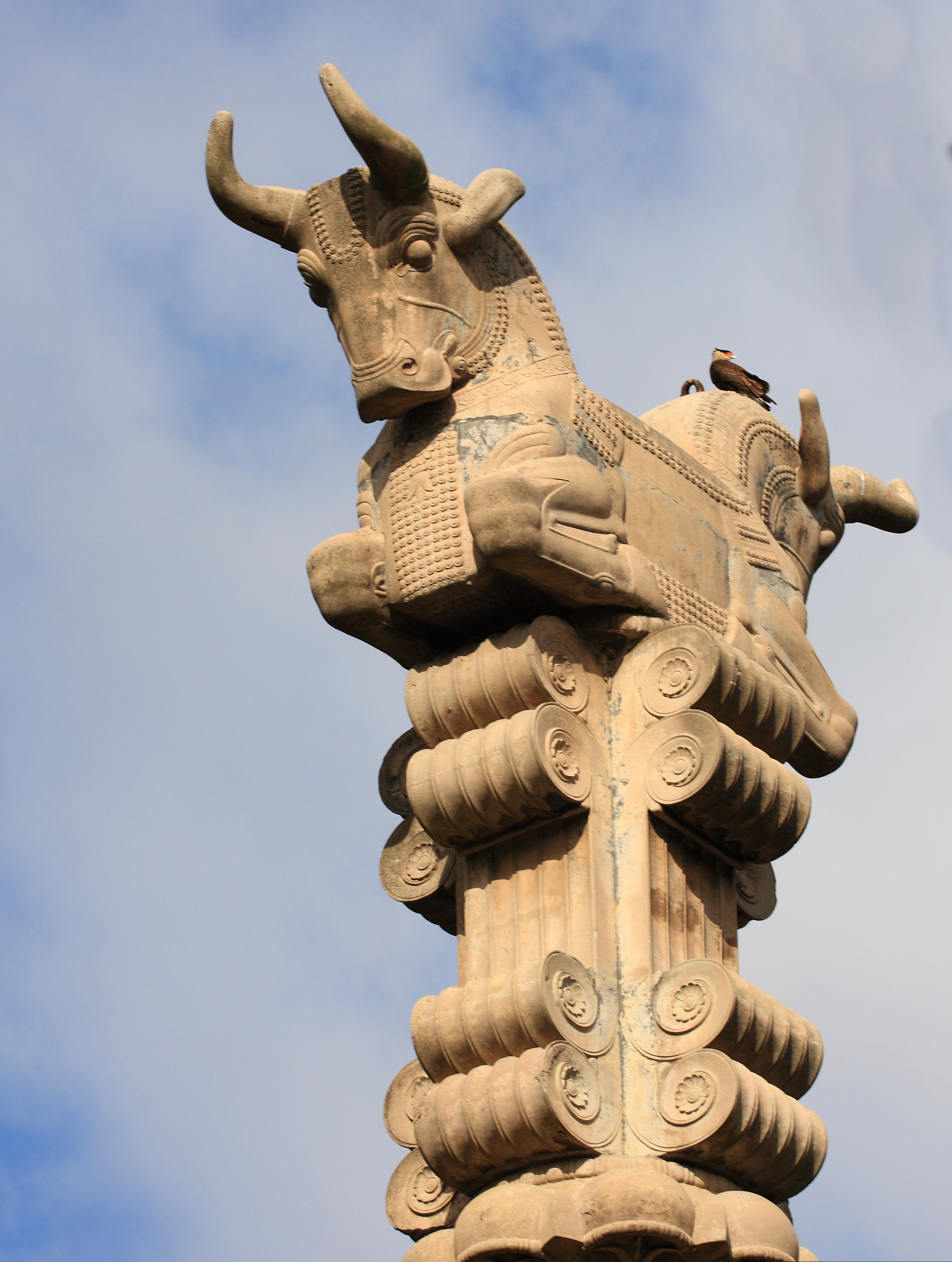
In architecture, the capital () or chapiter forms the topmost member of a column (or a pilaster). It mediates between the column and the load thrusting down upon it, broadening the area of the column's supporting surface. The capital, projecting on each side as it rises to support the abacus, joins the usually square abacus and the usually circular shaft of the column. The capital may be convex, as in the Doric order; concave, as in the inverted bell of the Corinthian order; or scrolling out, as in the Ionic order. These form the three principal types on which all capitals in the classical tradition are based. The Composite order was formalized in the 16th century following Roman Imperial examples such as the Arch of Titus in Rome. It adds Ionic volutes to Corinthian acanthus leaves. From the highly visible position it occupies in all colonnaded monumental buildings, the capital is often selected for ornamentation; and is often the clearest indicator of the architec ... [...More Info...] [...Related Items...] OR: [Wikipedia] [Google] [Baidu] |
Classical Order
An order in architecture is a certain assemblage of parts subject to uniform established proportions, regulated by the office that each part has to perform. Coming down to the present from Ancient Greece, Ancient Greek and Ancient Roman civilization, the architectural orders are the styles of classical architecture, each distinguished by its proportions and characteristic profiles and details, and most readily recognizable by the type of column employed. The three orders of architecture—the Doric order, Doric, Ionic order, Ionic, and Corinthian order, Corinthian—originated in Greece. To these the Romans added, in practice if not in name, the Tuscan order, Tuscan, which they made simpler than Doric, and the Composite order, Composite, which was more ornamental than the Corinthian. The architectural order of a classical building is akin to the Musical mode, mode or Key (music), key of classical music; the grammar or rhetoric of a written composition. It is established by certai ... [...More Info...] [...Related Items...] OR: [Wikipedia] [Google] [Baidu] |


