|
Tawang
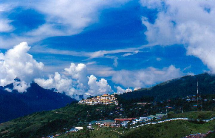
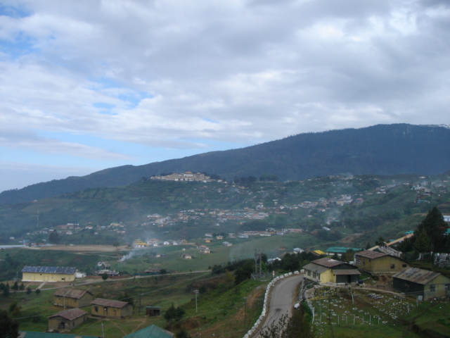
Tawang is a town and administrative headquarter of Tawang district in the Indian state of Arunachal Pradesh. It lies on NH-13 section of Trans-Arunachal Highway. The town was once the headquarter of the Tawang Tract, which is now divided into the Tawang district and the West Kameng district. Tawang continues as the headquarters of the former. Tawang is the number one tourist destination of Arunachal Pradesh. Tawang became part of British Raj ruled India after the 1914 Simla Convention, where the McMahon Line placed it within the British Raj, though actual control remained loose. In 1951, Major Bob Khathing led an expedition and established full Indian administrative control over Tawang. Since then, it has been part of India. China continues to claim Tawang as its territory. It is situated 448 km north-west of state capital Itanagar at an elevation of approximately . It lies to the north of the Tawang Chu river valley, roughly south of the Line of Actual Control wit ... [...More Info...] [...Related Items...] OR: [Wikipedia] [Google] [Baidu] |
Tawang District
Tawang district (Pron:/tɑ:ˈwæŋ or təˈwæŋ/) is the smallest of the 26 Districts of Arunachal Pradesh, administrative districts of Arunachal Pradesh state in northeastern India. With a population of 49,977, it is the eighth least populous district in the country (out of Districts of India, 707). History Tawang is inhabited by the Monpa people. From 500 BC to 600 AD a kingdom known as Lhomon or Monyul ruled the area. The Monyul kingdom was later absorbed into the control of neighbouring Bhutan and Tibet. Tawang Monastery was founded by the Merak Lama Lodre Gyatso in 1681 in accordance with the wishes of the 5th Dalai Lama, Ngawang Lobsang Gyatso, and has an interesting legend surrounding its name, which means "Chosen by Horse". The sixth Dalai Lama, Tsangyang Gyatso, 6th Dalai Lama, Tsangyang Gyatso, was born in Tawang. Tawang was historically part of Tibet. The Simla Accord (1914), 1914 Simla Accord defined the McMahon Line as the new boundary between British India a ... [...More Info...] [...Related Items...] OR: [Wikipedia] [Google] [Baidu] |
Tawang Monastery
Tawang Monastery is a Buddhist monastery located in Tawang, Arunachal Pradesh, India. It is the largest monastery in the country. It is situated in the valley of the Tawang Chu, in close proximity to the Chinese and Bhutanese border. Tawang Monastery is known in Tibetan as Gaden Namgyal Lhatse, which translates to "the divine paradise of complete victory". It was founded by Merak Lama Lodre Gyatso in 1680–1681 in accordance with the wishes of the 5th Dalai Lama, Ngawang Lobsang Gyatso. It belongs to the Gelug school of Vajrayana Buddhism and had a religious association with Drepung Monastery of Lhasa, which continued during the period of British rule. The monastery is three stories high. It is enclosed by a long compound wall. Within the complex there are 65 residential buildings. The library of the monastery has valuable old scriptures, mainly Kangyur and Tengyur. Etymology The full name of the monastery is Tawang Galdan Namgye Lhatse. ''Ta'' means "horse" and ''wang'' ... [...More Info...] [...Related Items...] OR: [Wikipedia] [Google] [Baidu] |
Arunachal Pradesh
Arunachal Pradesh (; ) is a States and union territories of India, state in northeast India. It was formed from the North-East Frontier Agency (NEFA) region, and India declared it as a state on 20 February 1987. Itanagar is its capital and largest town. It borders the Indian states of Assam and Nagaland to the south. It shares Borders of India, international borders with Bhutan in the west, Myanmar in the east, and a disputed 1,129 km border with China's Tibet Autonomous Region in the north at the McMahon Line. Arunachal Pradesh is claimed in its entirety by China as South Tibet as part of the Tibet Autonomous Region; China Sino-Indian War, occupied some regions of Arunachal Pradesh in 1962 but later withdrew its forces. As of the 2011 Census of India, Arunachal Pradesh has a population of 1,383,727 and an area of . With only 17 inhabitants per square kilometre, it is the least densely populated state of India. It is an ethnically diverse state, with predominantly Monpa p ... [...More Info...] [...Related Items...] OR: [Wikipedia] [Google] [Baidu] |
Monpa People
The Monpa ( (;, Chinese: 门巴族) are a major people of Arunachal Pradesh in northeastern India and one of the 56 officially recognized ethnic groups in China. Most Monpas live in the Indian state of Arunachal Pradesh, with a population of 50,000, centered in the districts of Tawang and West Kameng. As of 2020 there were 11,143 Monpa people living in Le / Lebo / Lebugou / Lebugou township of Cona / Tsona City in the south of Tibet Autonomous Region, where they are known as Menba (). Of the 45,000 Monpas who live in Arunachal Pradesh, about 20,000 of them live in Tawang district, where they constitute about 97% of the district's population, and almost all of the remainder can be found in the West Kameng district, where they form about 77% of the district's population. A small number of them may be found in bordering areas of East Kameng and Bhutan (2,500). They also share very close affinity with the Sharchops of Bhutan. Their language belongs to the Tibeto-Burman fa ... [...More Info...] [...Related Items...] OR: [Wikipedia] [Google] [Baidu] |
Tawang Chu
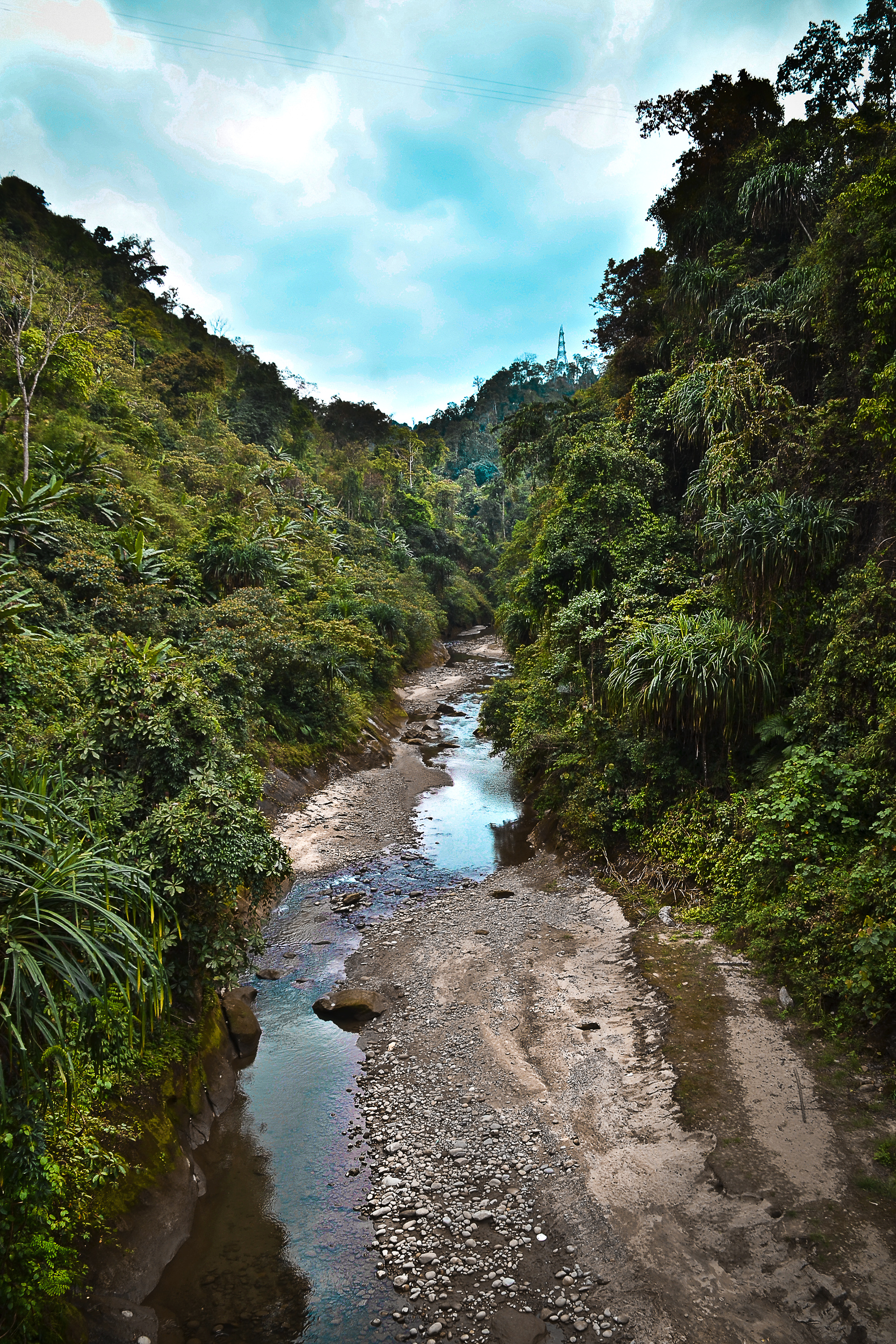
Tawang Chu (Tawang river) is the main river of the Tawang district in Arunachal Pradesh, India. The entire district may be regarded as the basin of the Tawang Chu river. In addition, two south-flowing rivers from Tibet, viz., the Tsona Chu and Nyamjang Chu, join the river within the district. The combined river flows west into Bhutan, where it progresses to the Manas River (tributary of Brahmaputra River) and flows into the Assam state of India. Tawang Chu is formed by the joining of three rivers originating within the Tawang district: the Goshu Chu, Dungma Chu and Gorjo Chu. These rivers merge near the village of Mago (), after which the combined river is called Mago Chu. After Tsona Chu joins it, near Kyelatongbo at an elevation of , the combined river is called Tawang Chu. The river flows west towards Bhutan, passing by the Tawang town on its southern flank. Near Jang, between Mago & Tawang, the Nuranang River joins Tawang Chu. Near Lumla, the Nyamjang Chu The Nyamja ... [...More Info...] [...Related Items...] OR: [Wikipedia] [Google] [Baidu] |
Tsangyang Gyatso, 6th Dalai Lama
The 6th Dalai Lama, Tsangyang Gyatso (; 1 March 1683 – after 1706), was recognized as the 6th Dalai Lama after a delay of many years, permitting the Potala Palace to be completed. He was an unconventional Dalai Lama that preferred a Nyingma school yogi's life to that of an ordained monk. He was later kidnapped and deposed by the Koshut Lha-bzang Khan. The death of the 5th Dalai Lama remained concealed for many years by his Kalon, in order to complete the building of the Potala Palace. The 6th Dalai Lama was born in southern Tibet, known as "Monyul", at Urgelling Monastery, which is in modern-day Tawang district, Arunachal Pradesh, India. He was officially located at the age of either 13 or 14. As a youth, he showed high levels of intelligence with unconventional views. Later and while living as a lay practitioner and a yogi, he grew his hair long, dressed as a regular Tibetan, and was said to also drink alcohol and openly accept women as companions. He was said to be a p ... [...More Info...] [...Related Items...] OR: [Wikipedia] [Google] [Baidu] |
Trans-Arunachal Highway
The Trans-Arunachal Highway (TAH), which includes an existing route comprising NH-13 () and parts of NH-15 (), NH-215 () and SH-25, is an under-construction 2-lane more than long highway passing through 16 districts in Arunachal Pradesh state in India. It runs from LAC in Tawang in northwest to Kanubari in southeast at the tri-junction of Assam-Nagaland-Arunachal Pradesh. It connects at least 16 districts of Arunachal Pradesh. Start and end points of National Highways-Source-Government of IndiaRoad network funding /ref> [...More Info...] [...Related Items...] OR: [Wikipedia] [Google] [Baidu] |
Bob Khathing
Ralengnao Khathing MC, MBE (1912–1990), also known as Bob Khathing, was an Indian soldier, civil servant and diplomat and the first person of tribal origin to serve as an Ambassador for India. The Government of India honoured him in 1957 with the award of Padma Shri, the fourth highest Indian civilian award for his services to the nation. Khathing led the first armed forces into Tawang that established Indian control in the region under the direct supervision of the then Assam governor Jairamdas Daulatram. Biography Ralengnao Khathing was born on 28 February 1912 (date of birth disputed, other reports stating it as 25 February and 8 February) at Ukhrul, a suburban district near Imphal, in the North East Indian state of Manipur in a Tangkhul family. He did his schooling at Kangpokpi Mission ME School and Johnstone Higher Secondary School, Imphal and joined Cotton College, Guwahati of Calcutta University from where he graduated, becoming first tribal graduate from the Man ... [...More Info...] [...Related Items...] OR: [Wikipedia] [Google] [Baidu] |
National Highway 13 (India)
National Highway 13 (NH 13), part of the larger Trans-Arunachal Highway network, is a 1,559 km long two-lane national highway across Arunachal Pradesh in India running from Tawang in northwest to Wakro in southeast.Road network funding /ref> Entire route became operational in 2018 when 6.2 km long was completed across . [...More Info...] [...Related Items...] OR: [Wikipedia] [Google] [Baidu] |
West Kameng District
West Kameng (pronounced ) is a district of Arunachal Pradesh in northeastern India. It accounts for 8.86% of the total area of the state. The name is derived from the Kameng river, a tributary of the Brahmaputra, that flows through the district. History The area around the Kameng river has traditionally come under the control of the Mon kingdom, Bhutan, Tibet and the Ahom kingdom. Tibetan Buddhism got a strong foothold among the tribal groups as early as in the 7th century, where the Kachen Lama constructed the Lhagyala Gompa in Morshing. Whenever loose control was exerted over the area, small, feudal chiefdoms ruled by the Miji and the Aka chiefs dominated control over the area. This can be evidenced in the fact that ruined fortresses like those in Bhalukpong constructed in the 10th to 12th century and the Dirang fort, which was constructed in the 17th century to defend against invasions from neighbouring chiefdoms. Upon the arrival of the British, the present- ... [...More Info...] [...Related Items...] OR: [Wikipedia] [Google] [Baidu] |
List Of Districts Of India
A district (''Zila (country subdivision), zila''), also known as revenue district, is an Administrative divisions of India, administrative division of an States and union territories of India, Indian state or territory. In some cases, districts are further subdivided into Revenue division, sub-divisions, and in others directly into tehsil, ''tehsils'' or ''talukas''. , there are a total of 780 districts in India. This count includes Mahe and Yanam which are Census districts and not Administrative districts and also includes the temporary Maha Kumbh Mela district but excludes Itanagar Capital Complex which has a Deputy Commissioner but is not an official district. District Administration ;The District officials include: *District Judge (India), District & Sessions Judge (Principal & additional), an officer belonging to the Judiciary of India, Indian Judicial Service (state), responsible for justice and passing orders of imprisonment, including the Capital punishment, death pena ... [...More Info...] [...Related Items...] OR: [Wikipedia] [Google] [Baidu] |


