|
Neretva
The Neretva (, sr-Cyrl, Неретва), also known as Narenta, is one of the largest rivers of the eastern part of the Adriatic basin. Four Hydroelectricity, hydroelectric power plants with Dam, large dams (higher than 15 metres) provide flood protection, electricity and water storage. The Neretva is recognized for its natural environment and diverse landscapes. Freshwater ecosystems have suffered from an increasing population and the associated development pressures. One of the most valuable natural resources of Bosnia and Herzegovina and Croatia is its freshwater resource, contained by an abundant spring (hydrosphere), wellspring and clear rivers. Situated between the major regional rivers (Drina river on the east, Una (Sava), Una river on the west and the Sava river) the Neretva basin contains the most significant source of drinking water. The Neretva is notable among rivers of the Dinaric Alps region, especially regarding its diverse ecosystems and habitats, flora and faun ... [...More Info...] [...Related Items...] OR: [Wikipedia] [Google] [Baidu] |
Glavatičevo
Glavatičevo ( sr-Cyrl, Главатичево) is a small village in Konjic Municipality, Bosnia and Herzegovina, which is a central village to a group of villages of a wider Glavatičevo, positioned 30 km southeast of Konjic, within a wide ''Župa Valley'' straddling the Neretva river. The village and its wider areal, with surrounding villages and the valley, is also referred to as ''Župa Glavatičevo'', or ''Komska Župa'', or simply ''Župa'' (). Geography and climate One theory, set forth by Dr. Pavao Anđelić in his book "Spomenici Konjica i okoline", says that Glavatičevo is named after the medieval nobleman ''Glavat'' or ''Glavatec'', who was from the area, another say that Glavatičevo is named after the endemic fish ''Salmo marmoratus'' from the Neretva called ''Salmo marmoratus, Glavatica''. Villages Glavatičevo is a central village to a group of hamlets within a wide Župa valley in the Upper Neretva. The village is settled on both banks of the Neretva river ... [...More Info...] [...Related Items...] OR: [Wikipedia] [Google] [Baidu] |
Konjic
Konjic ( sr-Cyrl, Коњиц) is a List of cities in Bosnia and Herzegovina, city located in the Herzegovina-Neretva Canton of the Federation of Bosnia and Herzegovina, one of two entities that make up Bosnia and Herzegovina. It is located in northern Herzegovina, around southwest of Sarajevo, in a mountainous, heavily wooded area, and is above sea level. The municipality extends on both sides of the Neretva River. According to the 2013 census, the city of Konjic has a population of 10,732 inhabitants, whereas the municipality has 25,148. The city is one of the oldest permanent settlements in Bosnia and Herzegovina, dating back almost 4,000 years; it arose in its current incarnation in the late 14th century. History The area near the Konjic is believed to have been settled up to 4,000 years ago, and settlements around 2,000 years ago by Illyrian tribes travelling upstream along the Neretva river have been found. Konjic was earliest recorded by name in the records of the Republ ... [...More Info...] [...Related Items...] OR: [Wikipedia] [Google] [Baidu] |
Rakitnica (Neretva)
Rakitnica ( sr-cyrl, Ракитница) is the main tributary of the first section of the Neretva river, also called Upper Neretva ''()''. It meets Neretva from the right, flowing from north to south, between Bjelašnica and Visočica mountains. Geography The Rakitnica river begins as Crna Rijeka ''(English = Black River)'' from "Zucina Vrela" ''(English = "Zuco's Wellsprings")'' that emerges in the areal above Rakitnica village under the northwestern ridge of Treskavica mountain, and after a short run, cca. 2 kilometers, and confluence with Glibovac creek it becomes Rakitnica. The Rakitnica river forms a 26 km long canyon, on its 33 km long stretch, carved between Bjelašnica and Visočica, southeast from Sarajevo. Protection Bosnia and Herzegovina on several occasions, since 1998, was preparing to establish a large national park A national park is a nature park designated for conservation (ethic), conservation purposes because of unparalleled national natura ... [...More Info...] [...Related Items...] OR: [Wikipedia] [Google] [Baidu] |
Adriatic Sea
The Adriatic Sea () is a body of water separating the Italian Peninsula from the Balkans, Balkan Peninsula. The Adriatic is the northernmost arm of the Mediterranean Sea, extending from the Strait of Otranto (where it connects to the Ionian Sea) to the northwest and the Po Valley. The countries with coasts on the Adriatic are Albania, Bosnia and Herzegovina, Croatia, Italy, Montenegro, and Slovenia. The Adriatic contains more than 1,300 islands, mostly located along its eastern coast. It is divided into three basins, the northern being the shallowest and the southern being the deepest, with a maximum depth of . The prevailing currents flow counterclockwise from the Strait of Otranto. Tidal movements in the Adriatic are slight, although acqua alta, larger amplitudes occur occasionally. The Adriatic's salinity is lower than the Mediterranean's because it collects a third of the fresh water flowing into the Mediterranean, acting as a dilution basin. The surface water temperatures ... [...More Info...] [...Related Items...] OR: [Wikipedia] [Google] [Baidu] |
Trebišnjica
The Trebišnjica ( sr-cyrl, Требишњица) is a river in Bosnia and Herzegovina, and the right tributary of the Neretva. Before it was utilized for hydro exploitation via various hydrotechnical interventions and systems with different purposes, Trebišnjica used to be a sinking river, rising and sinking through its course before resurfacing at various places from the Neretva river below the Čapljina to the Adriatic Sea, Adriatic coast, and along the coast from the Neretva Delta to Sutorina. With a total length of above the ground, and roughly another below the surface, the Trebšnjica river is one of the longest sinking rivers in the world with the total of above and under the ground. In hydrological terms, it represents a sub-basin within the Neretva river basin. In classical antiquity, the river was known as the Arion, Sources The Trebišnjica river originate near town of Bileća. The source of the river is a system of strong karst spring, karstic wellsprings distr ... [...More Info...] [...Related Items...] OR: [Wikipedia] [Google] [Baidu] |
Mostar
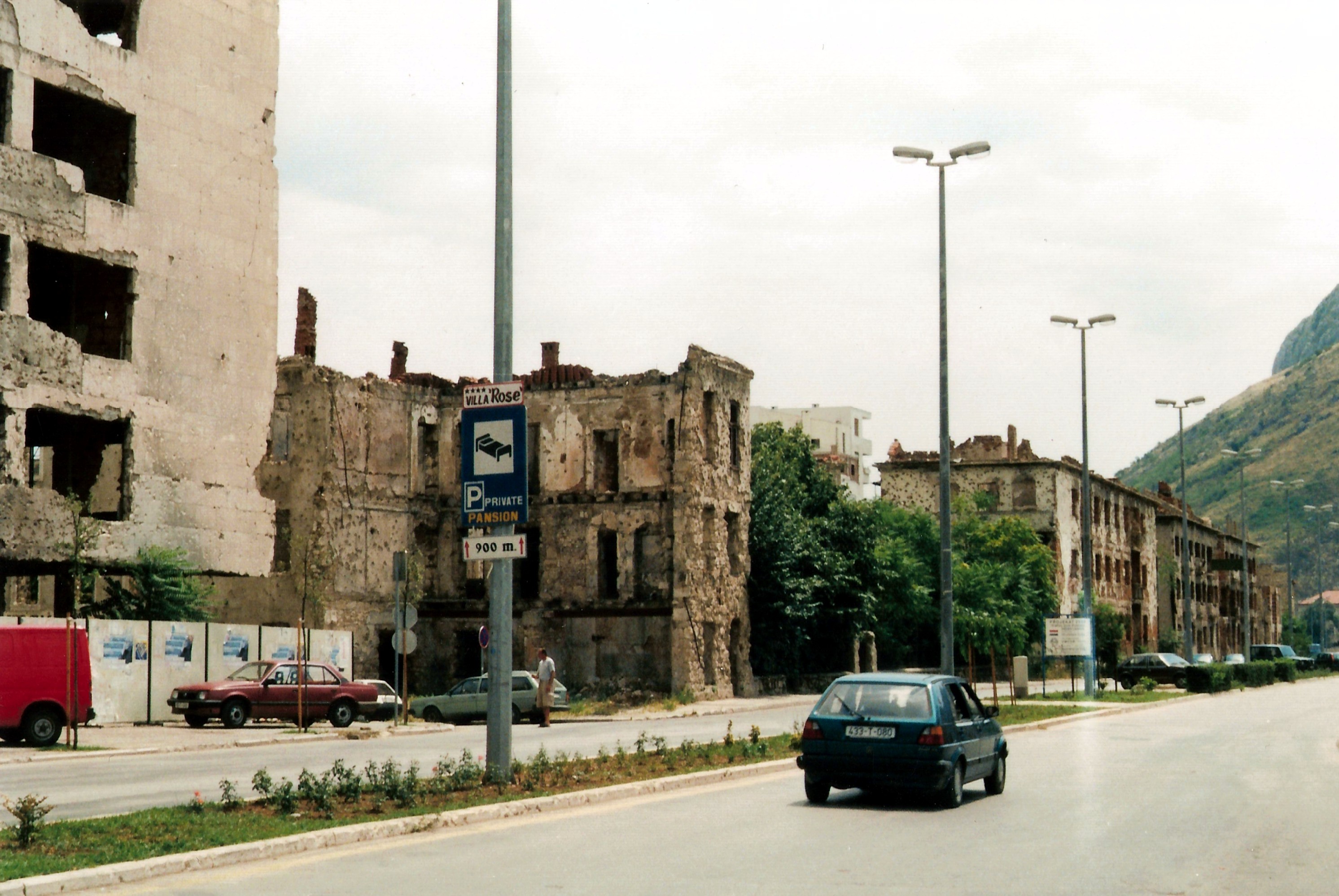
Mostar () is a city and the administrative centre of Herzegovina-Neretva Canton of the Federation of Bosnia and Herzegovina, an entity of Bosnia and Herzegovina, and the historical capital of Herzegovina. Mostar is situated on the Neretva River and is the fifth-largest city in the country. Mostar was named after the bridge keepers (''mostari'') who guarded the Stari Most (Old Bridge) over the Neretva during the Ottoman Bosnia and Herzegovina, Ottoman era. The Old Bridge, a UNESCO World Heritage Site, commissioned by Suleiman the Magnificent in the 16th century, is one of Bosnia and Herzegovina's most visited landmarks, and is considered an exemplary piece of Islamic architecture in the Balkans. History Ancient and medieval history Human settlements on the river Neretva, between Mount Hum (Mostar), Mount Hum and the Velež Mountain, have existed since prehistory, as witnessed by discoveries of fortified enceintes and cemeteries. Evidence of Roman people, Roman occupation was di ... [...More Info...] [...Related Items...] OR: [Wikipedia] [Google] [Baidu] |
Opuzen
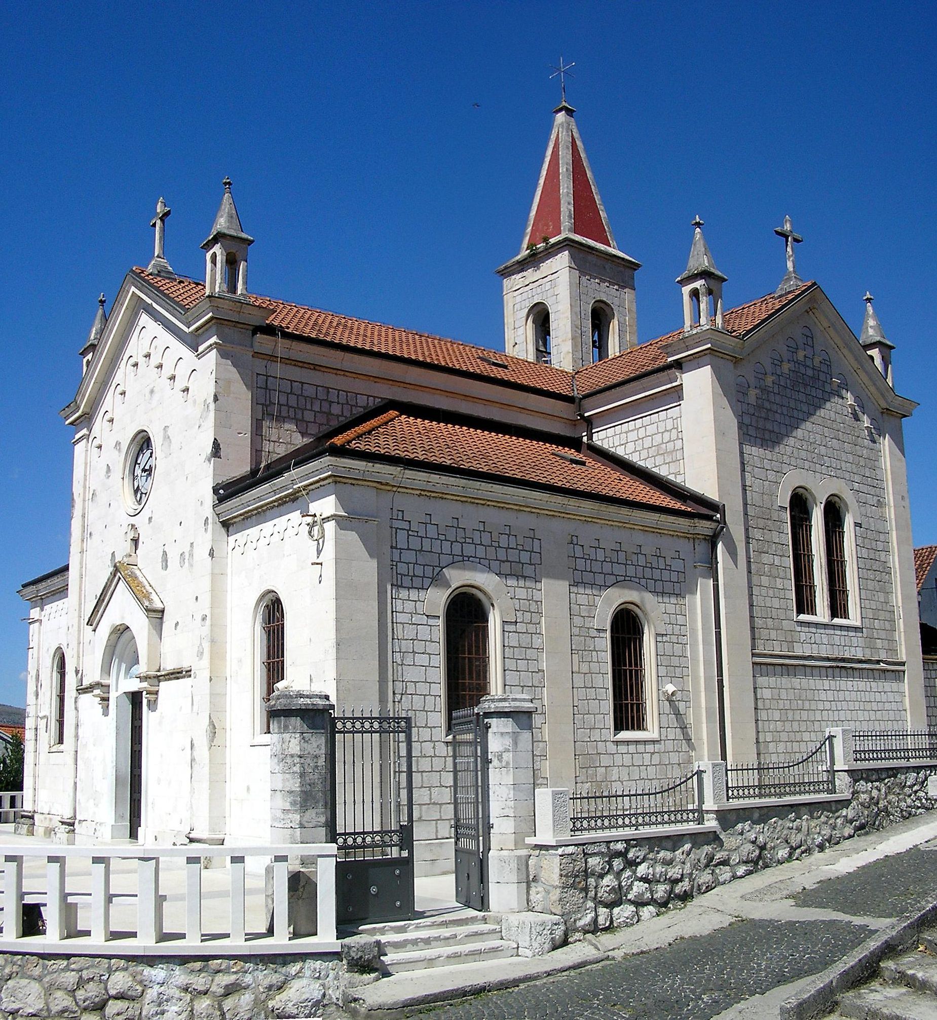
Opuzen () is a small town in Dubrovnik-Neretva County in Croatia. The town is located upstream from the mouth of the river Neretva, in southern Dalmatia. This settlement is known as a major center of tangerine production in Croatia. Opuzen got its name from its fortress, Fort Opus. The fortress was built by the Republic of Venice in 1684. Ruins of the fortress that remain are called Recycle and are part of the old town wall. The center of the old part of Opuzen is a classic Roman Forum. In the Middle Ages, Opuzen was known as Posrednica. The Republic of Ragusa in the 14th century had major trading markets (mainly trading in salt) in Opuzen. The markets got burnt down in 1472. The first Community School was opened in 1798 and was the only school in the Neretva region until 1845. In the town is located Opuzen's Parish church of St. Stephen and it is in the main square Climate Since records began in 1981, the highest temperature recorded at the local weather station was , on 23 Aug ... [...More Info...] [...Related Items...] OR: [Wikipedia] [Google] [Baidu] |
Metković
Metković () is a town in the Dubrovnik-Neretva County of Croatia, located in the southeast of the country, on the banks of the river Neretva and on the border with Bosnia and Herzegovina. Climate Since records began in 1997, the highest temperature recorded at the local weather station was , on 4 August 2013. The coldest temperature was , on 26 January 2000. Demographics According to the 2021 census, its population was 15,235 with 13,971 living in the city proper. The total population of the city municipality was 16,788 inhabitants in 2011 census, in the following settlements: * Dubravica, Metković, Dubravica, population 90 * Glušci, Croatia, Glušci, population 76 *Metković, population 15,329 * Prud, Croatia, Prud, population 497 * Vid, Croatia, Vid, population 796 In the census of 2011, 96.8% of the population self-identified as Croats. History The city was first mentioned in a 1422 court document as a small farming town. It remained this way until the nineteenth cent ... [...More Info...] [...Related Items...] OR: [Wikipedia] [Google] [Baidu] |
Krupa (Neretva)
The Krupa ( sr-Cyrl, Крупа) river is a left tributary of the river Neretva and the main water current of Hutovo Blato, which leads the waters from Gornje Blato and Svitavsko Lake into the Neretva river near Dračevo. The length of Krupa is 9 km with an average depth of 5 meters. The Krupa is an extension and outlet of Deransko Lake. Also, the Krupa is a unique river in Europe, because the river flows both ways. It flows normally from the source to the mouth and from the mouth to the source. This happens when, due to high water levels and large quantities of water, the Neretva pushes the Krupa river in the opposite direction. The river has rich biodiversity, with numerous fish species endemic to the Neretva basin inhabiting Krupa and its lakes. It is observed that important '' Salmo marmoratus'', known under its vernacular name as ''glavatica'' and/or ''gonjavac'', and endemic to the handful of rivers of the Adriatic watershed, enters these waters to spawn. See a ... [...More Info...] [...Related Items...] OR: [Wikipedia] [Google] [Baidu] |
Ploče
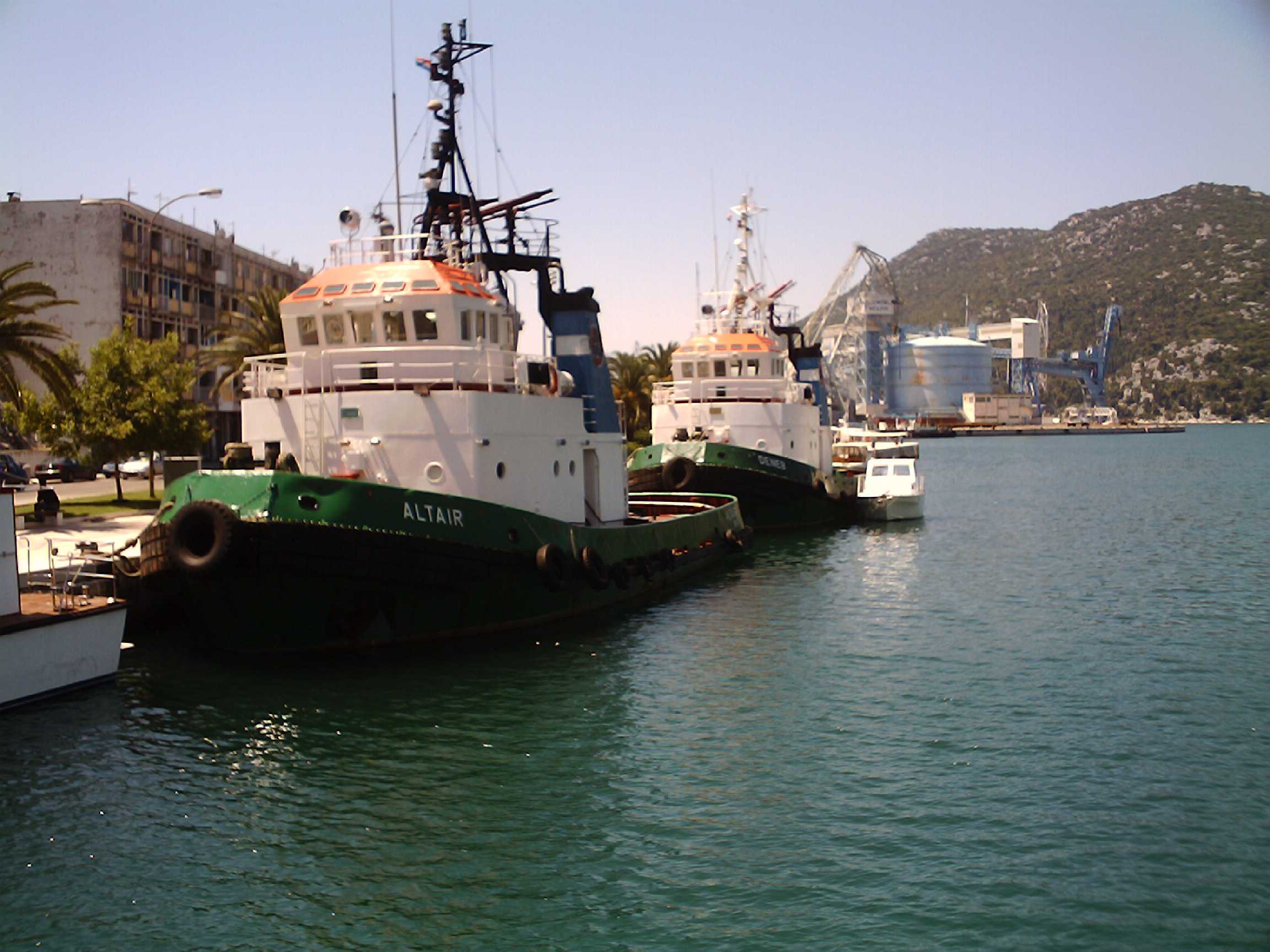
Ploče (, ) is a town and seaport in the Dubrovnik-Neretva County of Croatia. Geography Ploče is located on the Adriatic coast in Dalmatia just north of the Neretva Delta and is the natural seaside endpoint of most north-south routes through the central Dinaric Alps. This makes it the primary seaport used by Bosnia and Herzegovina and the endpoint of the Pan-European corridor 5C. Čeveljuša is a toponym in Ploče, located to the east of the town, on the intersection of the D8 highway and the D425. Climate Ploče at an elevation of is the location of Croatia's high temperature record, measured at on 4 and 5 August 1981. Records for the Ploče weather station began in 1975. The coldest temperature was , on 13 January 1985. History The town was first mentioned in 1387 as ''Ploča''. During the Kingdom of Yugoslavia, a port named Aleksandrovo after Alexander I of Yugoslavia was constructed in 1939. During the socialist Yugoslavia, between 1950 and 1954, and again from 1980 t ... [...More Info...] [...Related Items...] OR: [Wikipedia] [Google] [Baidu] |
Bregava
The Bregava ( sr-cyrl, Брегава) is a sinking river in Bosnia and Herzegovina that passes through the town of Stolac. It is a left tributary of the Neretva river. The river Bregava and its buildings - bridges, mills and stamping mills over the river - constitutes the backbone of the urban layout of Stolac. It passes through two waterfalls in Stolac, one of which is natural and the other artificial, and continues its way through the shallow and fertile Bregava gorge, leading to Badanj Cave. It is famous for its pure turquoise colour and clean waters, like the Neretva river which passes through Mostar. Many natural beaches are spread along the river. Natural environment The Bregava river also gathers a rich flora biodiversity, wild peppermint, sage, thyme, almond trees and numerous fruit trees (pomegranates, kiwis, plums, grapes...), and fauna living around, butterflies, trout, ducks, numerous diverse birds and water snakes. River biodiversity The Bregava river is a major ... [...More Info...] [...Related Items...] OR: [Wikipedia] [Google] [Baidu] |
Počitelj
Počitelj is a settlement and a historic village in the Township of Čapljina in Herzegovina-Neretva Canton of the Federation of Bosnia and Herzegovina, an entity of Bosnia and Herzegovina. Its walled nucleus is protected National Monument of Bosnia and Herzegovina and an open-air museum. The settlement is situated on the left bank of the river Neretva, on the main road Mostar- Metković. Geography It is located in the township of Čapljina, in the Herzegovina-Neretva Canton of the Federation of Bosnia and Herzegovina. The village is situated on the left bank of the river Neretva, on the main road Mostar- Metković, and it is about to the south of Mostar and about from the centre of Čapljina. The nucleus of the village is built in a natural karst amphitheater along the Neretva river during the Middle Ages. History The earliest mention of or recorded reference to Počitelj is in charters of king Alfonso V and Fridrich III from 1444 to 1448. However, the village most like ... [...More Info...] [...Related Items...] OR: [Wikipedia] [Google] [Baidu] |


