|
Metropolitan Regions Of China
In China, a megalopolis () is a designation by the government to promote the development of a group of cities through transportation and communication links. Conceptual history The Economist Intelligence Unit in 2012 identified 13 megalopolises: Chang-Zhu-Tan (Greater Changsha), Chengdu, Chongqing, Greater Beijing i.e. Jing-Jin-Ji, Greater Shanghai (incl. Suzhou), Greater Xi'an, Greater Zhengzhou, Greater Guangzhou, Hefei economic circle (incl. Lu'an, Huainan, Chaohu), Shandong Peninsula, Greater Shenyang, Shenzhen and Wuhan. As of 2018, there are nine officially approved megalopolises in China. In 2017, the National Development and Reform Commission stated that plans for six city clusters had been completed in 2016, five in 2017, with eight more forthcoming for a total of 19 city cluster plans by 2020. The new city clusters identified in 2017 were Lanzhou-Xining, Hohhot-Baotou- Ordos- Yulin, Guanzhong Plain, Western Taiwan Straits Economic Zone, and the Guangdong-Hong ... [...More Info...] [...Related Items...] OR: [Wikipedia] [Google] [Baidu] |
China
China, officially the People's Republic of China (PRC), is a country in East Asia. With population of China, a population exceeding 1.4 billion, it is the list of countries by population (United Nations), second-most populous country after India, representing 17.4% of the world population. China spans the equivalent of five time zones and Borders of China, borders fourteen countries by land across an area of nearly , making it the list of countries and dependencies by area, third-largest country by land area. The country is divided into 33 Province-level divisions of China, province-level divisions: 22 provinces of China, provinces, 5 autonomous regions of China, autonomous regions, 4 direct-administered municipalities of China, municipalities, and 2 semi-autonomous special administrative regions. Beijing is the country's capital, while Shanghai is List of cities in China by population, its most populous city by urban area and largest financial center. Considered one of six ... [...More Info...] [...Related Items...] OR: [Wikipedia] [Google] [Baidu] |
Chaohu
Chaohu () is a county-level city of Anhui Province, China, it is under the administration of the prefecture-level city of Hefei. Situated on the northeast and southeast shores of Lake Chao, from which the city was named, Chaohu is under the administration of Hefei, the provincial capital, and is the latter's easternmost county-level division. Formerly it was a prefecture-level city, which held administration over Wuwei, Lujiang, He and Hanshan counties until it dissolved on August 22, 2011. The Anhui provincial government announced in a controversial decision that the prefecture-level city Chaohu was to be split into three parts and absorbed into neighboring cities. Juchao District was renamed to Chaohu as a county-level city under Hefei's administration. Climate Administrative divisions Chaohu City is divided to 6 Subdistricts, 11 towns and 1 township. ;Subdistricts ;Towns ;Townships *Miaogang Township () Notable people *Zhou Yu (175–210), Three Kingdoms era milit ... [...More Info...] [...Related Items...] OR: [Wikipedia] [Google] [Baidu] |
Western Taiwan Straits Economic Zone
Western Taiwan Straits Economic Zone or West Coast Economic Zone () is the proposed economic development zone for the economic region west of the Taiwan Straits by the Fujian government in 2004 and approved by the State Council of the People's Republic of China (中國國務院常務會) on May 4, 2009. This include the coastal cities of Xiamen, Zhangzhou, Quanzhou and Fuzhou along Fujian province. The proposed economic zone aims to integrate the economies, transport, infrastructure, policies from the coastal cities west of the Taiwan Straits for competitiveness, social development, increased and strengthened economic cooperation with Taiwan. History The ideas of the economic zone has been around since 2001, when Fujian province was undergoing strong economic growth and the Fujian provincial government thought it needed to be competitive with other economic zones such as the Pearl River Delta and the Yangtze River Delta economic zones. [...More Info...] [...Related Items...] OR: [Wikipedia] [Google] [Baidu] |
Guanzhong
Guanzhong (, formerly romanization of Chinese, romanised as Kwanchung) region, also known as the Guanzhong Basin, Wei River Basin, or uncommonly as the Shaanzhong region, is a historical region of China corresponding to the crescentic graben structural basin, basin within present-day central Shaanxi, bounded between the Qinling Mountains in the south (known as Guanzhong's "South Mountains"), and the Huanglong Mountain, Meridian Ridge and Mount Liupan, Long Mountain ranges in the north (collectively known as its "North Mountains"). The central plain, flatland area of the basin, known as the Guanzhong Plain (关中平原; pinyin: Guānzhōng Píngyuán), is made up of alluvial plains along the lower Wei River and its numerous tributaries and thus also called the Wei River Plain. The region is part of the Shanxi, Jin-Shaanxi, Shaan Basin Belt, a prominent section of the Shanxi Rift System, and is separated from its geological sibling — the Yuncheng Basin to its northeast — by the ... [...More Info...] [...Related Items...] OR: [Wikipedia] [Google] [Baidu] |
Yulin, Inner Mongolia
Yulin () is a town under the administration of Saihan District, Hohhot, Inner Mongolia, China China, officially the People's Republic of China (PRC), is a country in East Asia. With population of China, a population exceeding 1.4 billion, it is the list of countries by population (United Nations), second-most populous country after .... , it has one residential community and 21 villages under its administration. References Township-level divisions of Inner Mongolia Hohhot {{Inner Mongolia-geo-stub ... [...More Info...] [...Related Items...] OR: [Wikipedia] [Google] [Baidu] |
Ordos City
Ordos, also known as Ih Ju, is one of the twelve List of administrative divisions of Inner Mongolia, major subdivisions of Inner Mongolia, China. It lies within the Ordos Plateau of the Yellow River. Although mainly rural, Ordos is administered as a prefecture-level city. Its population was 2,153,638 as of the 2020 census, and its built-up (or metro) area made up of Ejin Horo Banner and Kangbashi District was home to 366,779 inhabitants, as Dongsheng District (574,442 inhabitants) is not a conurbation yet. Ordos is known for its recently undertaken large scale government projects including most prominently the new Kangbashi District, an urban district planned as a massive civic mall with abundant monuments, cultural institutions and other showpiece architecture. It was the venue for the Miss World 2012, 2012 Miss World Final. When it was newly built, the streets of the new Kangbashi district did not have much activity, and the district was frequently described as a "Underoccupi ... [...More Info...] [...Related Items...] OR: [Wikipedia] [Google] [Baidu] |
Baotou
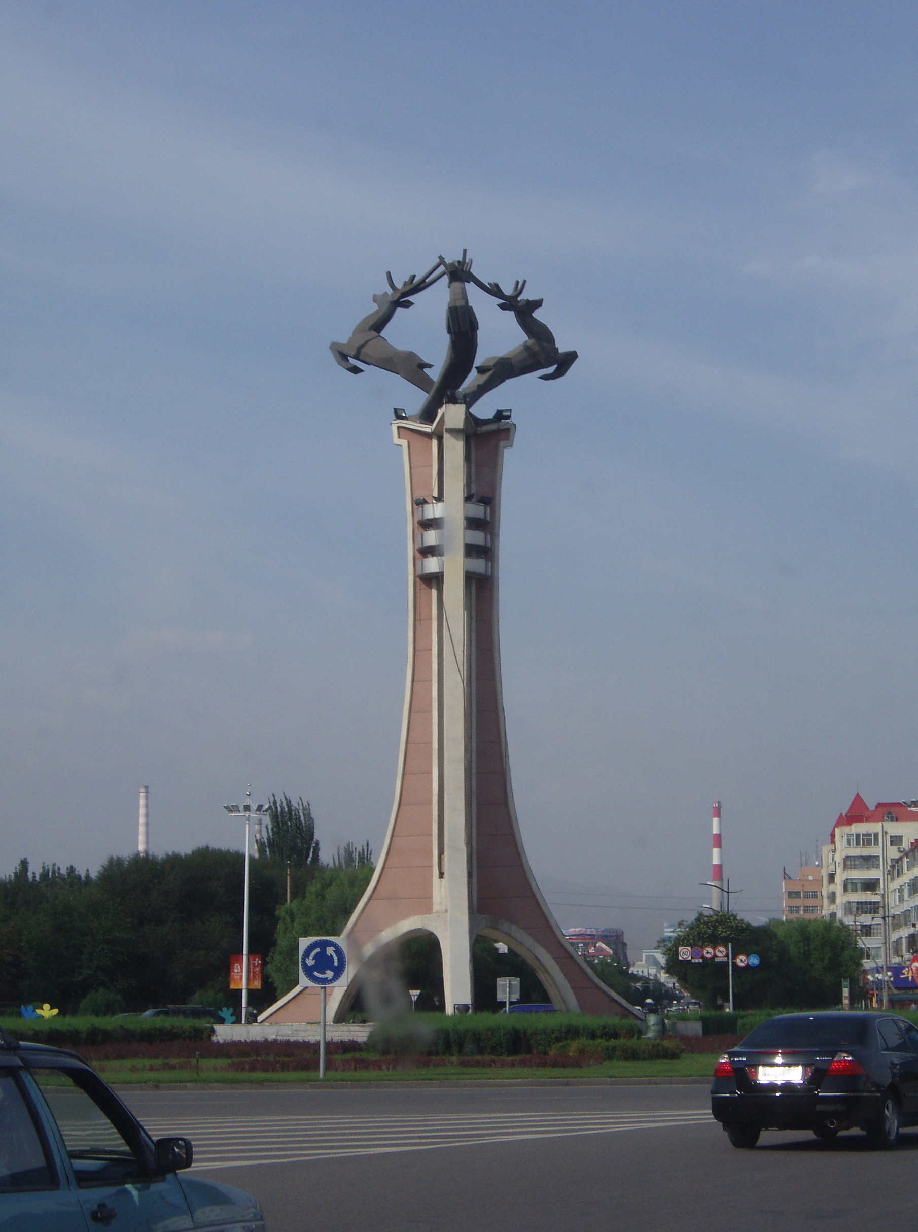
Baotou; is the largest city by urban population in Inner Mongolia, China. Governed as a prefecture-level city, as of the 2020 census, its built-up (''or metro'') area made up of its 5 urban districts is home to 2,261,089 people with a total population of 2,709,378 accounting for counties under its jurisdiction. The city's namesake, literally translated to "place with deer", is of Mongolic origin or "Lucheng" ( zh, c=鹿城 , p=Lùchéng), meaning "City of Deer". Alternatively Baotou is known as the "City of Steel in Gobi" ( zh, labels=no, s=草原钢城 , p=Cǎoyuán Gāngchéng). Steel was a major industry in the city. Today, Baotou refines over half of the rare-earth minerals produced in the world. This has led to environmental contamination near the industrial sites. History Ancient times The area now known as Baotou was inhabited by nomads, some of whose descendants would later be categorized as Mongols. Near the end of the Han dynasty (206 BC–220 AD), Lü Bu, a partic ... [...More Info...] [...Related Items...] OR: [Wikipedia] [Google] [Baidu] |
Hohhot
Hohhot,; abbreviated zh, c=呼市, p=Hūshì, labels=no formerly known as Kweisui, is the Capital (political), capital of Inner Mongolia in the North China, north of the China, People's Republic of China, serving as the region's administrative, economic and cultural center.''The New Encyclopædia Britannica'', 15th Edition (1977), Volume I, p. 275. Its population was 3,446,100 inhabitants as of the 2020 census, of whom 2,944,889 lived in the metropolitan area consisting of 4 urban districts (including Hohhot Economic and Development Zone) plus the Tumed Left Banner. The name of the city in Mongolian means "Blue City", although it is also wrongly referred to as the "Green City."Perkins (1999), p. 212. The color blue in Mongol culture is associated with the sky, eternity and purity. In Chinese, the name can be translated as ''Qīng Chéng'' ( zh, c=青城 , l=Distinguishing blue from green in language#Chinese, Blue/Green City) The name has also been variously romanized as Kokota ... [...More Info...] [...Related Items...] OR: [Wikipedia] [Google] [Baidu] |
Xining
Xining is the Capital (political), capital and most populous city of Qinghai province in western China and the largest city on the Tibetan Plateau. As of the 2020 census, it had 2,467,965 inhabitants (2,208,708 as of 2010), of whom 1,954,795 lived in the built-up (or metro) area made of 5 urban districts. The city lies in the Huangshui River, Huangshui River Valley, also known as Tsongkha (Tibetan script, Tibetan: ཙོང་ཁ་), and owing to its high altitude, has a cool climate on the borderline between Semi-arid climate#Cold semi-arid climates, cool semi-arid and dry winter humid continental climate, humid continental. Xining was a commercial hub along the Northern Silk Road's Hexi Corridor for over 2000 years, and was a stronghold of the Han dynasty, Han, Sui dynasty, Sui, Tang dynasty, Tang, and Song dynasty, Song dynasties' resistance against nomadic attacks from the west. Although long a part of Gansu province, Xining was added to Qinghai in 1928. Xining holds sites ... [...More Info...] [...Related Items...] OR: [Wikipedia] [Google] [Baidu] |
Lanzhou
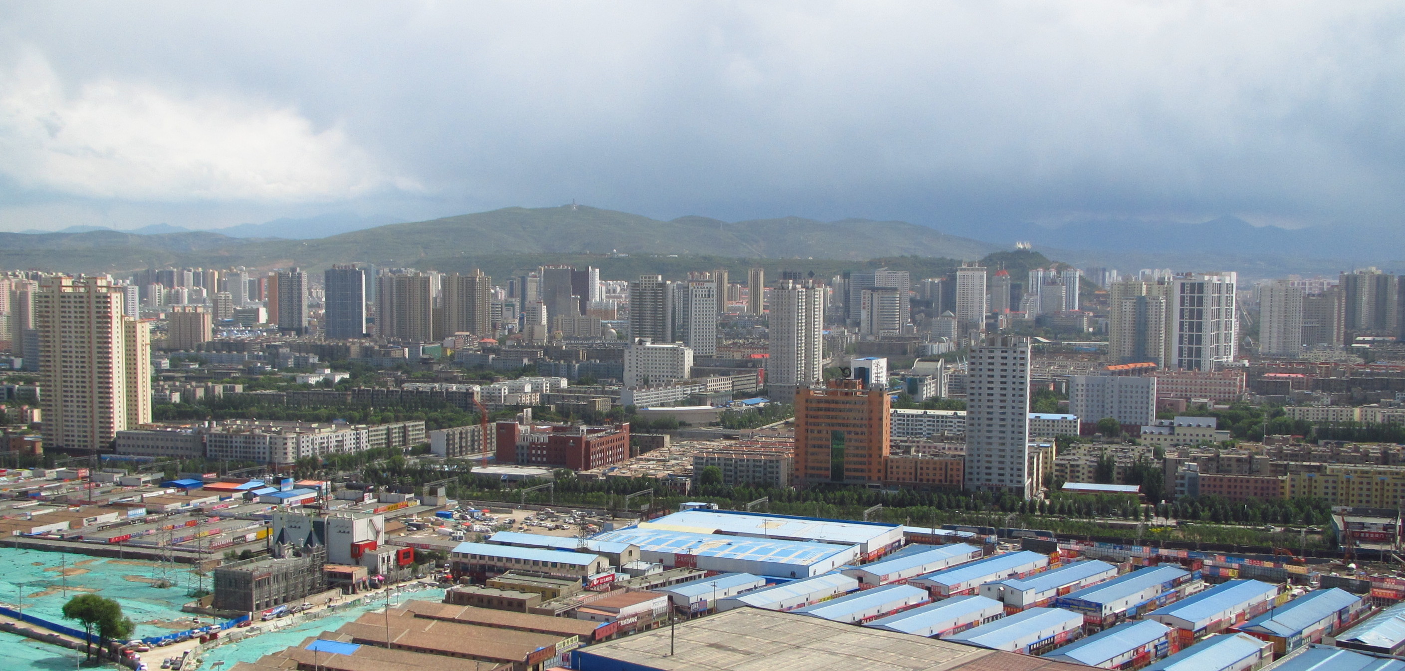
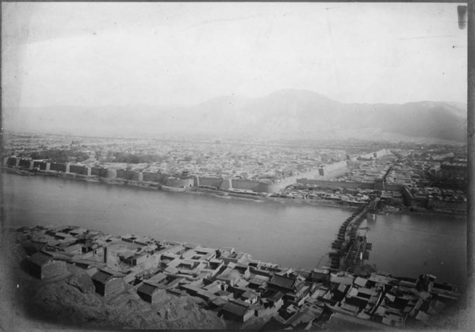
Lanzhou is the capital and largest city of Gansu province in northwestern China. Located on the banks of the Yellow River, it is a key regional transportation hub, connecting areas further west by rail to the eastern half of the country. Historically, it has been a major link on the Northern Silk Road and it stands to become a major hub on the New Eurasian Land Bridge. The city is also a center for heavy industry and petrochemical industry. Lanzhou is the third largest city in Northwest China after Xi'an and Urumqi. Lanzhou is also an important center for scientific research and education in Northwestern China after Xi'an. The city is one of the top 60 major cities in the world by scientific research output as tracked by the Nature Index. It hosts several research institutions, including, Lanzhou University, Northwest Normal University, Lanzhou University of Technology, Gansu Agricultural University, Gansu University of Chinese Medicine, and Lanzhou Jiaotong Uni ... [...More Info...] [...Related Items...] OR: [Wikipedia] [Google] [Baidu] |
National Development And Reform Commission
The National Development and Reform Commission (NDRC) is the third-ranked executive department of the State Council of the People's Republic of China, which functions as a macroeconomic management agency. Established as the State Planning Commission, the NDRC has broad administrative and planning control over the economy of mainland China, and has a reputation of being the "mini-state council". History The body was first established in November 1952 as the State Planning Commission of the Central People's Government. It was modeled after Gosplan. Gao Gang was its first director. In 1954, it was transformed to the State Planning Commission of the People's Republic of China. The NDRC's functions are to study and formulate policies for economic and social development, maintain the balance of economic development, and to guide restructuring of the economic system of mainland China. In March 1998, the commission was renamed into the State Development Planning Commission. It ... [...More Info...] [...Related Items...] OR: [Wikipedia] [Google] [Baidu] |
Wuhan
Wuhan; is the capital of Hubei, China. With a population of over eleven million, it is the most populous city in Hubei and the List of cities in China by population, eighth-most-populous city in China. It is also one of the nine National central city, national central cities and the second most livable city in China. Wuhan historically served as a busy city port for commerce and trading with some crucial influences on Chinese history. The name "Wuhan" came from the city's historical origin from the conglomeration of Wuchang, Wuhan, Wuchang, Hankou District, Hankou, and Hanyang District, Hanyang, which are collectively known as the "Three Towns of Wuhan" ( zh, s=武汉三镇, labels=no). Wuhan lies in the eastern Jianghan Plain, at the confluence of the Yangtze river and its largest tributary, the Han River (Hubei), Han River, and is known as "Nine Provinces' Thoroughfare" ( zh, labels=no, t= ). Wuhan was the site of the 1911 Wuchang Uprising against the Qing dynasty which Dyna ... [...More Info...] [...Related Items...] OR: [Wikipedia] [Google] [Baidu] |


