|
Malkhed Fort
The Malkhed Fort, (also known as the Manyakheta Fort) is located on the banks of the Kagina River in the district of Gulbarga in the state of Karnataka, India. Its construction attributed to the Rashtrakuta Emperor Amoghavarsha I. Manyakheta was the capital of the Rashtrakuta Empire from 814 AD to 968 AD, and after they were overthrown, it became the capital of the Western Chalukya Empire The Western Chalukya Empire ( ) ruled most of the Deccan Plateau, western Deccan, South India, between the 10th and 12th centuries. This Kannada dynasty is sometimes called the ''Kalyani Chalukya'' after its regal capital at Kalyani, today's .... The fort has four entrances and 52 bastions, and is over 20 feet tall. A Jumma Masjid and few dargahs can be found here. References Forts in Karnataka {{Karnataka-stub ... [...More Info...] [...Related Items...] OR: [Wikipedia] [Google] [Baidu] |
Malkheda
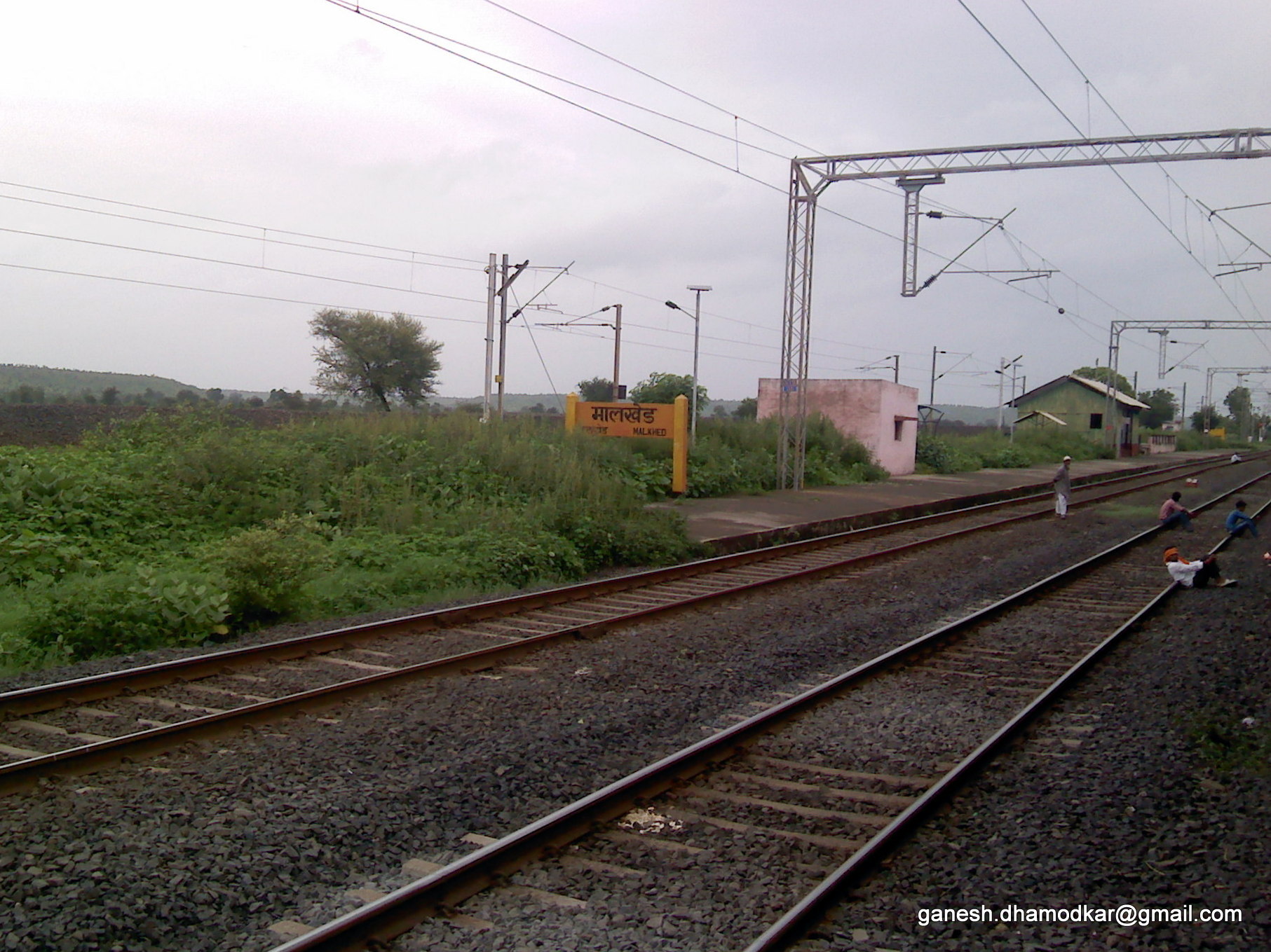
Malkheda originally known as Manyakheta (IAST: Mānyakheṭa, Prakrit: "Mannakheḍa"), and also known as Malkhed,Village code= 311400 Malkhed (J), Gulbarga, Karnataka is a town in Karnataka, India. It is located on the banks of Kagina river in Sedam Taluk of Kalaburagi district, around 40 km from Kalaburagi. The city reached the peak of its prosperity during the 9th and 10th centuries, serving as the Imperial capital of the Rashtrakutas. At Manyakheta, there is a historical fort whose restoration is in progress based on a proposal submitted by HKADB (Hyderabad Karnataka Area Development Board). Demographics India census, Malkheda had a population of 11,180 with 5,679 males and 5,501 females and 2,180 households. History Manyakheta rose to prominence when the capital of Rashtrakutas was moved from Mayurkhandi in present-day Bidar district to Mānyakheṭa during the reign of Amoghavarsha I. He is said to have built the imperial capital city to "match that of Lord ... [...More Info...] [...Related Items...] OR: [Wikipedia] [Google] [Baidu] |
Kalaburagi District
Kalaburagi district, formerly known as Gulbarga district, is one of the 31 districts of Karnataka state in southern India. Kalaburagi city is the administrative headquarters of the district. The district is the headquarters of Kalaburagi division. This district is situated in north Karnataka between 76°.04' and 77°.42 east longitude, and 17°.12' and 17°.46' north latitude, covering an area of 10,951 km2. This district is bounded on the west by Bijapur district and Solapur district of Maharashtra state, on the north by Bidar district and Osmanabad district of Maharashtra state, on the south by Yadgir district, and on the east by Sangareddy and Vikarabad districts of Telangana state. History The name of the area in Kannada is ''Kala-buragi'', meaning "stony land." In the 6th century CE, the district was under the control of the Chalukyas. The Rashtrakutas briefly conquered the area, but were driven out by the Chalukyas who ruled the area for the next two centuries ... [...More Info...] [...Related Items...] OR: [Wikipedia] [Google] [Baidu] |
Karnataka
Karnataka ( ) is a States and union territories of India, state in the southwestern region of India. It was Unification of Karnataka, formed as Mysore State on 1 November 1956, with the passage of the States Reorganisation Act, 1956, States Reorganisation Act, and renamed ''Karnataka'' in 1973. The state is bordered by the Lakshadweep Sea to the west, Goa to the northwest, Maharashtra to the north, Telangana to the northeast, Andhra Pradesh to the east, Tamil Nadu to the southeast, and Kerala to the southwest. With 61,130,704 inhabitants at the 2011 census, Karnataka is the List of states and union territories of India by population, eighth-largest state by population, comprising 31 List of districts in India, districts. With 15,257,000 residents, the state capital Bengaluru is the largest city of Karnataka. The economy of Karnataka is among the most productive in the country with a gross state domestic product (GSDP) of and a per capita GSDP of for the financial year 2023– ... [...More Info...] [...Related Items...] OR: [Wikipedia] [Google] [Baidu] |
India
India, officially the Republic of India, is a country in South Asia. It is the List of countries and dependencies by area, seventh-largest country by area; the List of countries by population (United Nations), most populous country since 2023; and, since its independence in 1947, the world's most populous democracy. Bounded by the Indian Ocean on the south, the Arabian Sea on the southwest, and the Bay of Bengal on the southeast, it shares land borders with Pakistan to the west; China, Nepal, and Bhutan to the north; and Bangladesh and Myanmar to the east. In the Indian Ocean, India is near Sri Lanka and the Maldives; its Andaman and Nicobar Islands share a maritime border with Thailand, Myanmar, and Indonesia. Modern humans arrived on the Indian subcontinent from Africa no later than 55,000 years ago., "Y-Chromosome and Mt-DNA data support the colonization of South Asia by modern humans originating in Africa. ... Coalescence dates for most non-European populations averag ... [...More Info...] [...Related Items...] OR: [Wikipedia] [Google] [Baidu] |
Government Of Karnataka
The Government of Karnataka, abbreviated as GoK or GoKA, formerly known as Government of Mysore (1956–1974), is a democratically elected state body with the governor as the ceremonial head to govern the Southwest Indian state of Karnataka. The governor who is appointed for five years appoints the chief minister and on the advice of the chief minister appoints their council of ministers. Even though the governor remains the ceremonial head of the state, the day-to-day running of the government is taken care of by the chief minister and their council of ministers in whom a great amount of legislative powers are vested. Head Leaders Council of Ministers District In-charge Ministers By Departments Administrative divisions Karnataka State has been divided into 4 revenue divisions, 31 districts, 49 subdivisions, 237 taluks, 747 hoblies/ revenue circles and 6,022 villages for land revenue administrative purposes. The state has 281 towns and 7 municipal corporati ... [...More Info...] [...Related Items...] OR: [Wikipedia] [Google] [Baidu] |
Amoghavarsha I
Amoghavarsha I (also known as Amoghavarsha Nrupatunga I) (r. 814 – 878 CE) is considered by many historians to be the greatest emperor of the Rashtrakuta dynasty. His reign of 64 years is one of the longest precisely dated monarchical reigns on record. Many Kannada and Sanskrit scholars prospered during his rule, including the great Indian mathematician Mahaviracharya who wrote ''Ganita-sara-samgraha'', Jinasena, Virasena, Shakatayan and Sri Vijaya (a Kannada language theorist). Amoghavarsha I was an accomplished poet and scholar. He wrote (or co-authored) the '' Kavirajamarga'', the earliest extant literary work in Kannada,Sastri (1955), p. 355. and ''Prashnottara Ratnamalika'', a religious work in Sanskrit. During his rule he held titles such as ''Nrupathunga'', ''Atishadhavala'', ''Veeranarayana'', ''Rattamarthanda'' and ''Srivallabha''. He moved the Rashtrakuta regnal capital from Mayurkhandi in the present-day Bidar district to Manyakheta in the present-day Kalab ... [...More Info...] [...Related Items...] OR: [Wikipedia] [Google] [Baidu] |
Rashtrakuta
The Rashtrakuta Empire was a royal Indian polity ruling large parts of the Indian subcontinent between the 6th and 10th centuries. The earliest known Rashtrakuta inscription is a 7th-century copper plate grant detailing their rule from Manapur, a city in Central or West India. Other ruling Rashtrakuta clans from the same period mentioned in inscriptions were the kings of Achalapur and the rulers of Kannauj. Several controversies exist regarding the origin of these early Rashtrakutas, their native homeland and their language. The Elichpur clan was a feudatory of the Badami Chalukyas, and during the rule of Dantidurga, it overthrew Chalukya Kirtivarman II and went on to build an empire with the Gulbarga region in modern Karnataka as its base. This clan came to be known as the Rashtrakutas of Manyakheta, rising to power in South India in 753 AD. At the same time the Pala dynasty of Bengal and the Prathihara dynasty of Gurjaratra were gaining force in eastern and northwes ... [...More Info...] [...Related Items...] OR: [Wikipedia] [Google] [Baidu] |
Limestone
Limestone is a type of carbonate rock, carbonate sedimentary rock which is the main source of the material Lime (material), lime. It is composed mostly of the minerals calcite and aragonite, which are different Polymorphism (materials science), crystal forms of calcium carbonate . Limestone forms when these minerals Precipitation (chemistry), precipitate out of water containing dissolved calcium. This can take place through both biological and nonbiological processes, though biological processes, such as the accumulation of corals and shells in the sea, have likely been more important for the last 540 million years. Limestone often contains fossils which provide scientists with information on ancient environments and on the evolution of life. About 20% to 25% of sedimentary rock is carbonate rock, and most of this is limestone. The remaining carbonate rock is mostly Dolomite (rock), dolomite, a closely related rock, which contains a high percentage of the mineral Dolomite (mine ... [...More Info...] [...Related Items...] OR: [Wikipedia] [Google] [Baidu] |
Kagna River
Kagna River is a tributary of the Bhima River, the main tributary of the Krishna River. It rises in the Ananthagiri hills near Vikarabad in the state of Telangana. Unlike other rivers of the Deccan that flow east or south east, the Kagna flows in a westernly direction through the states of Telangana and Karnataka before joining the Bhima near Wadi in Kalaburagi district Kalaburagi district, formerly known as Gulbarga district, is one of the 31 districts of Karnataka state in southern India. Kalaburagi city is the administrative headquarters of the district. The district is the headquarters of Kalaburagi divi ....Venkateswarlu, V. Ecological studies on the rivers of Andhra Pradesh with special reference to water quality and pollution. Proc. Indian Acad. Sci. 96, 495–508 (1986). https://doi.org/10.1007/BF03053544 References Rivers of India Rivers of Karnataka Tributaries of the Krishna River {{India-river-stub ... [...More Info...] [...Related Items...] OR: [Wikipedia] [Google] [Baidu] |
Rastrakutas
The Rashtrakuta Empire was a royal Indian polity ruling large parts of the Indian subcontinent between the 6th and 10th centuries. The earliest known Rashtrakuta inscription is a 7th-century copper plate grant detailing their rule from Manapur, a city in Central or West India. Other ruling Rashtrakuta clans from the same period mentioned in inscriptions were the kings of Achalapur and the rulers of Kannauj. Several controversies exist regarding the origin of these early Rashtrakutas, their native homeland and their language. The Elichpur clan was a feudatory of the Badami Chalukyas, and during the rule of Dantidurga, it overthrew Chalukya Kirtivarman II and went on to build an empire with the Gulbarga region in modern Karnataka as its base. This clan came to be known as the Rashtrakutas of Manyakheta, rising to power in South India in 753 AD. At the same time the Pala dynasty of Bengal and the Prathihara dynasty of Gurjaratra were gaining force in eastern and northwest ... [...More Info...] [...Related Items...] OR: [Wikipedia] [Google] [Baidu] |
Manyakheta
Malkheda originally known as Manyakheta (IAST: Mānyakheṭa, Prakrit: "Mannakheḍa"), and also known as Malkhed,Village code= 311400 Malkhed (J), Gulbarga, Karnataka is a town in Karnataka, India. It is located on the banks of Kagina river in Sedam Taluk of Kalaburagi district, around 40 km from Kalaburagi. The city reached the peak of its prosperity during the 9th and 10th centuries, serving as the Imperial capital of the Rashtrakutas. At Manyakheta, there is a historical fort whose restoration is in progress based on a proposal submitted by HKADB (Hyderabad Karnataka Area Development Board). Demographics India census, Malkheda had a population of 11,180 with 5,679 males and 5,501 females and 2,180 households. History Manyakheta rose to prominence when the capital of Rashtrakutas was moved from Mayurkhandi in present-day Bidar district to Mānyakheṭa during the reign of Amoghavarsha I. He is said to have built the imperial capital city to "match that of Lor ... [...More Info...] [...Related Items...] OR: [Wikipedia] [Google] [Baidu] |
Rashtrakuta Empire
The Rashtrakuta Empire was a royal Indian polity ruling large parts of the Indian subcontinent between the 6th and 10th centuries. The earliest known Rashtrakuta inscription is a 7th-century copper plate grant detailing their rule from Manapur, a city in Central or West India. Other ruling Rashtrakuta clans from the same period mentioned in inscriptions were the kings of Achalapur and the rulers of Kannauj. Several controversies exist regarding the origin of these early Rashtrakutas, their native homeland and their language. The Elichpur clan was a feudatory of the Badami Chalukyas, and during the rule of Dantidurga, it overthrew Chalukya Kirtivarman II and went on to build an empire with the Gulbarga region in modern Karnataka as its base. This clan came to be known as the Rashtrakutas of Manyakheta, rising to power in South India in 753 AD. At the same time the Pala dynasty of Bengal and the Prathihara dynasty of Gurjaratra were gaining force in eastern and northweste ... [...More Info...] [...Related Items...] OR: [Wikipedia] [Google] [Baidu] |


