|
List Of Storms Named Amang
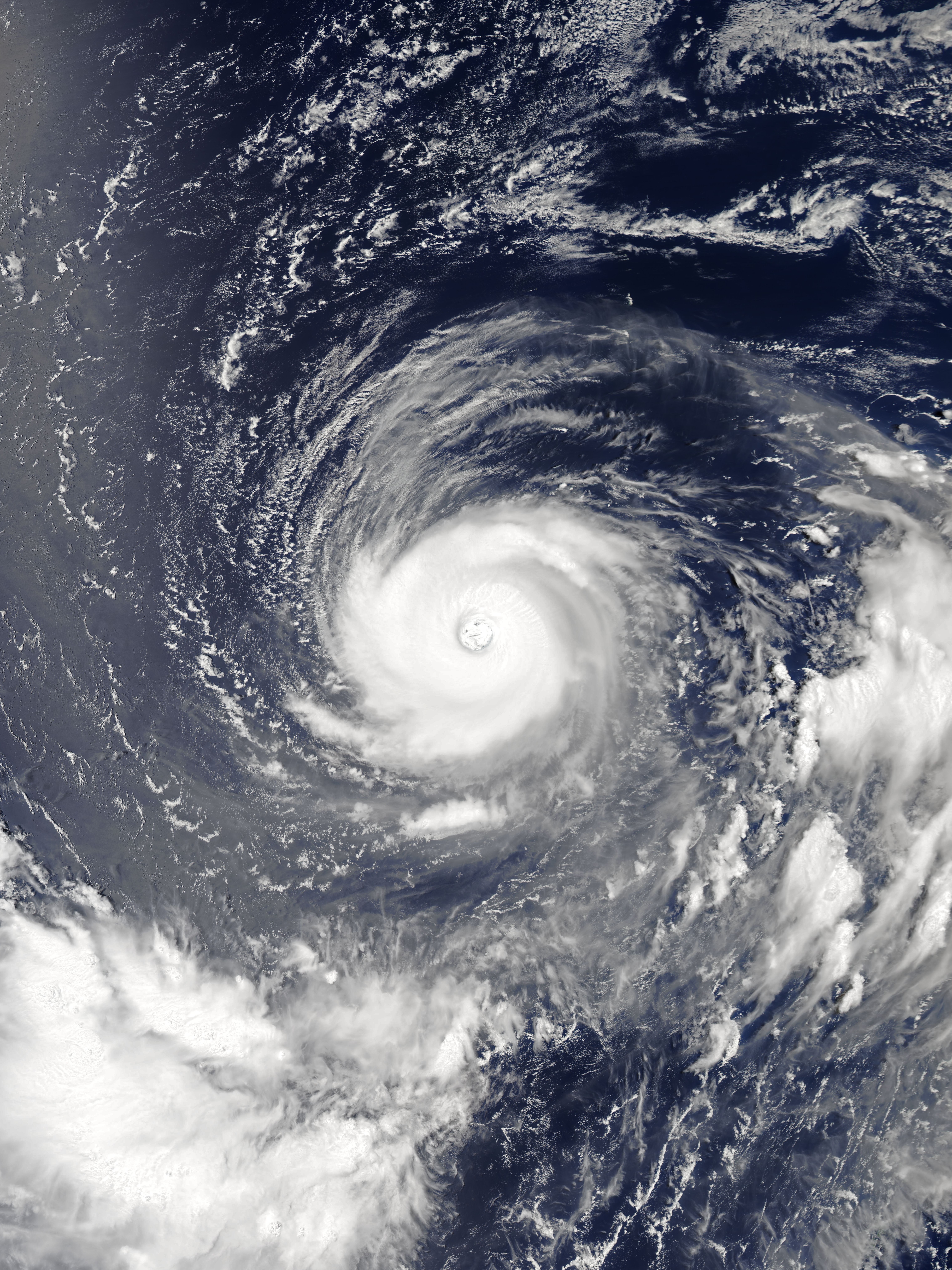
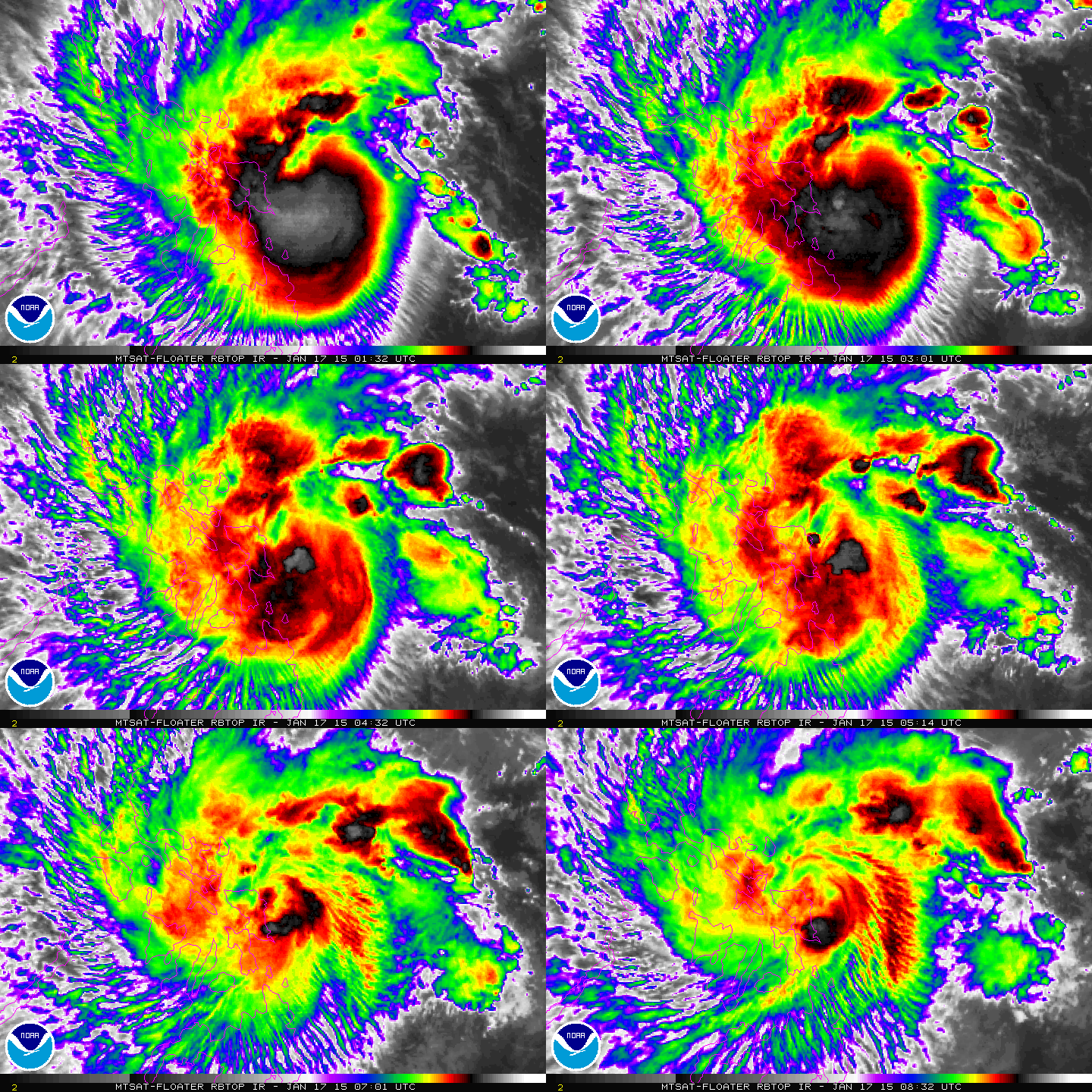
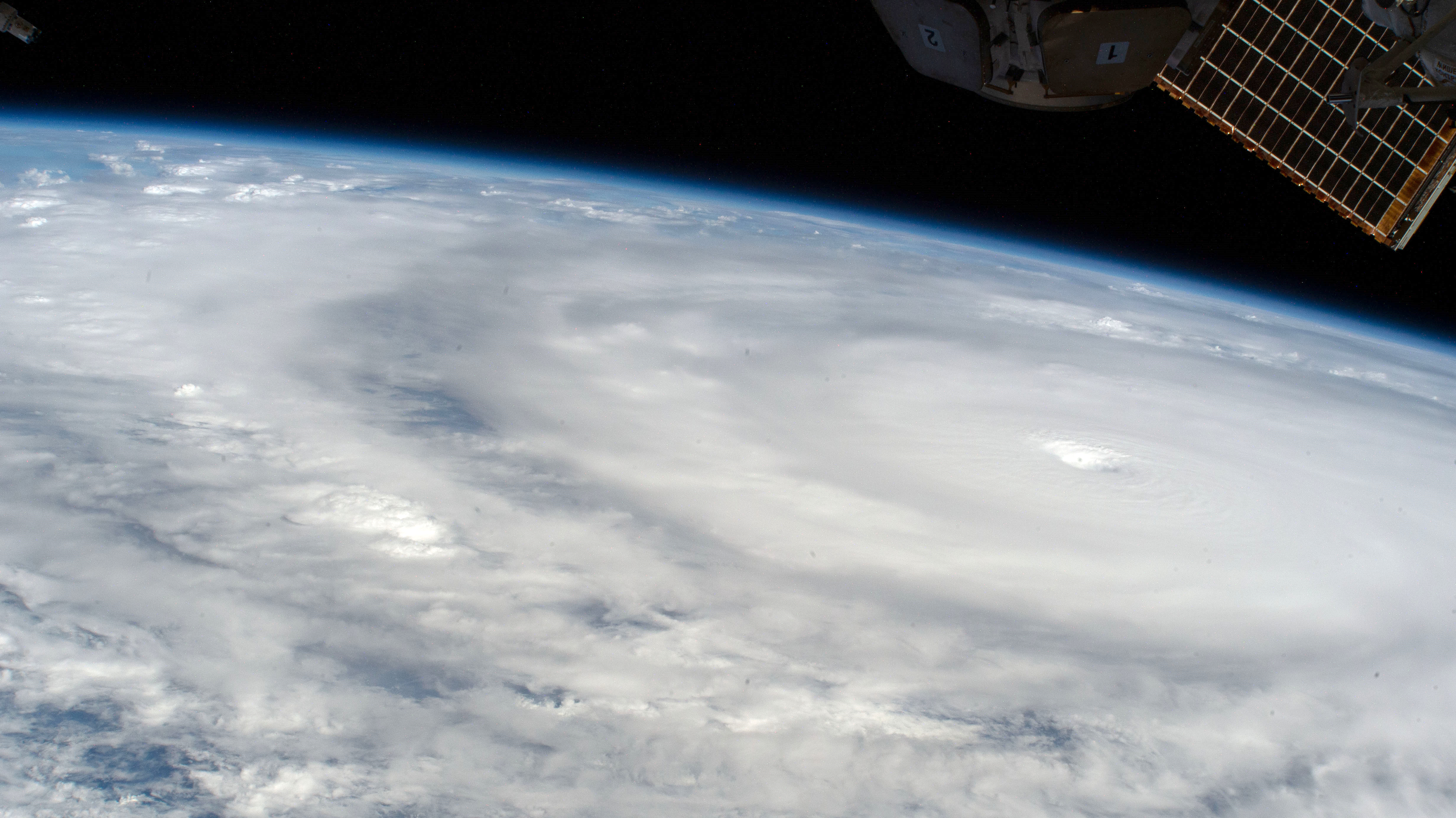
The name Amang, a Filipino male nickname, has been used for six tropical cyclones in the Philippine Area of Responsibility in Typhoon, the Western Pacific, all named by PAGASA: * Typhoon Kujira (2003) (T0302, 02W, Amang) – caused minimal effects in the Philippines * Typhoon Yutu (2007) (T0702, 02W, Amang) – an early-season super typhoon * Tropical Depression Amang (2011) (02W, Amang) – did not affect the Philippines but impacted the Mariana Islands * Tropical Storm Mekkhala (2015) (T1501, 01W, Amang) – an early-season tropical storm * Tropical Depression Amang (2019) (01W, Amang) – killed 10 people in the Philippines due to landslides and flash floods * Tropical Depression Amang (2023) – made two landfalls in the Philippines See also Similar names that have been used for tropical cyclones: * List of storms named Akang – also used in the Western Pacific Ocean * List of storms named Atang – used in the Western Pacific Ocean and in South-West Indian Ocean tropic ... [...More Info...] [...Related Items...] OR: [Wikipedia] [Google] [Baidu] |
Tropical Cyclone
A tropical cyclone is a rapidly rotating storm system with a low-pressure area, a closed low-level atmospheric circulation, strong winds, and a spiral arrangement of thunderstorms that produce heavy rain and squalls. Depending on its location and strength, a tropical cyclone is called a hurricane (), typhoon (), tropical storm, cyclonic storm, tropical depression, or simply cyclone. A hurricane is a strong tropical cyclone that occurs in the Atlantic Ocean or northeastern Pacific Ocean. A typhoon is the same thing which occurs in the northwestern Pacific Ocean. In the Indian Ocean and South Pacific, comparable storms are referred to as "tropical cyclones". In modern times, on average around 80 to 90 named tropical cyclones form each year around the world, over half of which develop hurricane-force winds of or more. Tropical cyclones tropical cyclogenesis, typically form over large bodies of relatively warm water. They derive their energy through the evaporation of water ... [...More Info...] [...Related Items...] OR: [Wikipedia] [Google] [Baidu] |
Philippine Area Of Responsibility
The Philippine Area of Responsibility (PAR) is an area in the Northwestern Pacific where PAGASA, the Philippines' national meteorological agency, monitors weather occurrences. Significant weather disturbances, specifically typhoons that enter or develop in the PAR, are given Philippine-specific names. Boundary The area is bounded by six points namely (clockwise): * * * * * * This area encompasses almost all of the land territory of the Philippines, except for the southernmost portions of the province of Tawi-Tawi, and some of the country's claimed islands in the Spratlys. The area also includes the main island of Palau, most of Taiwan, as well as portions of the Malaysian state of Sabah, the Japanese prefecture of Okinawa ( Miyakojima, Tarama, Ishigaki, Taketomi, Yonaguni) and a small patch of land in Brunei ( Brunei–Muara District). Function The establishing decree of PAGASA mandates the weather agency to monitor weather occurrences occurring within the PAR. ... [...More Info...] [...Related Items...] OR: [Wikipedia] [Google] [Baidu] |
Typhoon
A typhoon is a tropical cyclone that develops between 180° and 100°E in the Northern Hemisphere and which produces sustained hurricane-force winds of at least . This region is referred to as the Northwestern Pacific Basin, accounting for almost one third of the world's tropical cyclones. For organizational purposes, the northern Pacific Ocean is divided into three regions: the eastern (North America to 140°W), central (140°W to 180°), and western (180° to 100°E). The Regional Specialized Meteorological Center (RSMC) for tropical cyclone forecasts is in Japan, with other tropical cyclone warning centres for the northwest Pacific in Hawaii (the Joint Typhoon Warning Center), the Philippines, and Hong Kong. Although the RSMC names each system, the main name list itself is coordinated among 18 countries that have territories threatened by typhoons each year. Within most of the northwestern Pacific, there are no official typhoon seasons as tropical cyclones form througho ... [...More Info...] [...Related Items...] OR: [Wikipedia] [Google] [Baidu] |
PAGASA
The Philippine Atmospheric, Geophysical and Astronomical Services Administration (, abbreviated as PAGASA , which means "hope" as in the Tagalog language, Tagalog word ''pag-asa'') is the National Meteorological and Hydrological Services (NMHS) agency of the Philippines mandated to provide protection against natural calamities and to ensure the safety, well-being and economic security of all the people, and for the promotion of national progress by undertaking scientific and technological services in meteorology, hydrology, climatology, astronomy and other geophysical sciences. Created on December 8, 1972, by reorganizing the Weather Bureau, PAGASA now serves as one of the Scientific and Technological Services Institutes of the Department of Science and Technology (Philippines), Department of Science and Technology. History The ''Observatorio Meteorológico de Manila'' Formal meteorological and astronomical services in the Philippines began in 1865 with the establishment of ... [...More Info...] [...Related Items...] OR: [Wikipedia] [Google] [Baidu] |
Typhoon Kujira (2003)
Typhoon Kujira, known in the Philippines as Super Typhoon Amang, was a long-lived tropical cyclone that lasted for 16 days and affected the island nations of Micronesia, Taiwan, and Japan in mid April 2003, as well as the earliest typhoon in a calendar year to ever make landfall on the latter. Forming from a broad area of disturbed weather as a tropical depression on April 9 well removed from any landmasses, Kujira quickly intensified in its early stages, and was upgraded to a tropical storm just two days after cyclogenesis. Strengthening slowed afterwards, though the storm attained typhoon intensity on April 14. Intensification continued and late on April 15, Kujira reached its peak intensity with winds of and a minimum barometric pressure of 930 mbar (hPa; 27.46 inHg). Following peak intensity, Kujira began to track northwest and oscillate in strength, cresting an additional two times in intensity. On April 21, the typhoon was downgraded t ... [...More Info...] [...Related Items...] OR: [Wikipedia] [Google] [Baidu] |
Typhoon Yutu (2007)
The 2007 Pacific typhoon season was a near average season which featured 24 named storms, fourteen typhoons, and five super typhoons. It was an event in the annual cycle of tropical cyclone formation, in which tropical cyclones form in the western Pacific Ocean. The season ran throughout 2007, though most tropical cyclones typically develop between May and November. The season's first named storm, Kong-rey, developed on March 30, while the season's last named storm, Mitag, dissipated on November 27. The season's first typhoon, Yutu, reached typhoon status on May 18, and became the first super typhoon of the year on the next day. The scope of this article is limited to the Pacific Ocean, to the north of the equator between 100°E and the 180th meridian. Within the northwestern Pacific Ocean, there are two separate agencies that assign names to tropical cyclones, which can often result in a cyclone having two names. The Japan Meteorological Agency (JMA) will name a tropica ... [...More Info...] [...Related Items...] OR: [Wikipedia] [Google] [Baidu] |
Tropical Depression Amang (2011)
The 2011 Pacific typhoon season was a below average season that produced a total of 21 named storms, 8 typhoons, and four super typhoons. This season was much more active than the previous season, although both seasons were below the Pacific typhoon average of 26. The season ran throughout 2011, though most tropical cyclone tend to develop between May and October. The season's first named storm, Aere, developed on May 7 while the season's last named storm, Washi dissipated on December 19. The season was also much deadlier and destructive than the previous season. Typhoon Muifa affected many countries during August. Tropical Storm Talas and Typhoon Roke made landfall over in Japan and were the most destructive since 2009. Typhoon Nesat was the most powerful to strike China since 2008. Tropical Storm Washi, a late but weak cyclone, affected southern Philippines and killed 2546 people. The scope of this article is limited to the Pacific Ocean to the north of the equator between ... [...More Info...] [...Related Items...] OR: [Wikipedia] [Google] [Baidu] |
Mariana Islands
The Mariana Islands ( ; ), also simply the Marianas, are a crescent-shaped archipelago comprising the summits of fifteen longitudinally oriented, mostly dormant volcanic mountains in the northwestern Pacific Ocean, between the 12th and 21st parallels north and along the 145th meridian east. They lie south-southeast of Japan, west-southwest of Hawaii, north of New Guinea, and east of the Philippines, demarcating the Philippine Sea's eastern limit. They are found in the northern part of the western Oceanic sub-region of Micronesia, and are politically divided into two jurisdictions of the United States: the Commonwealth of the Northern Mariana Islands and, at the southern end of the chain, the territory of Guam. The islands were named after the influential Spanish queen Mariana of Austria following their colonization in the 17th century. The indigenous inhabitants are the Chamorro people. Archaeologists in 2013 reported findings which indicated that the people who first settl ... [...More Info...] [...Related Items...] OR: [Wikipedia] [Google] [Baidu] |
Tropical Storm Mekkhala (2015)
Severe Tropical Storm Mekkhala, known in the Philippines as Severe Tropical Storm Amang, was an early-season tropical cyclone that made landfall over the Philippines in mid-January 2015. Mekkhala killed three people in the Bicol Region and caused light crop damage. Notably, the storm disturbed Pope Francis’ visit to the country after the victims of Typhoon Haiyan on November 8, 2013. Although the storm also caused an airplane crash in Tacloban, nobody was hurt in the incident. The system developed on January 13 between the Philippines and Guam. Moving west-northwest for its duration, Mekkhala passed north of Yap State on January 14 while slowly intensifying due to moderate wind shear. Conditions became more favorable on January 16, when the storm quickly strengthened to peak winds of at least 110 km/h (70 mph); a ragged eye prompted the American-based Joint Typhoon Warning Center (JTWC) to upgrade it to a typhoon. The storm weakened slightly and made ... [...More Info...] [...Related Items...] OR: [Wikipedia] [Google] [Baidu] |
Tropical Depression Amang (2019)
Tropical Depression Amang was a weak but long-lived tropical cyclone which triggered flash floods and landslides over the southeastern Philippines in January 2019. Forming as a tropical depression northeast of the Gilbert Islands on January 4, the depression moved slowly to the north, but weakened to a low-pressure area two days later. The remnants turned westward and crossed the open Pacific Ocean. Despite favourable environment, the system failed to re-develop. It attained tropical depression status again on January 19, just east of Mindanao. Amang turned north-northwest and passed just east of Siargao Island on the next day. Amang dissipated on January 22 to the northeast of Samar. Amang brushed the eastern Mindanao, the Eastern Visayas and the Bicol Region, while some regions were still recovered from impacts brought by Usman last month. Therefore, authorities stayed alert and mandatory evacuations were performed. Heavy rainfall felt in eastern Mindanao and Samar. Eight peop ... [...More Info...] [...Related Items...] OR: [Wikipedia] [Google] [Baidu] |
Tropical Depression Amang (2023)
The 2023 Pacific typhoon season was the fourth and final consecutive below-average season and became the third-most inactive typhoon season on record in terms of named storms, with just 17 named storms developing, only ahead of 2010 and 1998, however it had a slightly above average in terms of ACE. Despite the season occurring during an El Niño event, which typically favors activity in the basin, activity was abnormally low. This was primarily due to a consistent period of negative PDO, which typically discourages tropical storm formation in this basin. The season was less active than the 2023 Atlantic hurricane season in terms of named storms, the fourth such season on record, after 2005, 2010 and 2020. The season's number of storms also did not exceed that of the 2023 Pacific hurricane season. Only ten became typhoons, with four strengthening further into super typhoons. However, it was very destructive, primarily due to Typhoon Doksuri which devastated the northern Philippine ... [...More Info...] [...Related Items...] OR: [Wikipedia] [Google] [Baidu] |
List Of Storms Named Betty
The name Betty has been used for a total of twenty-one tropical cyclones worldwide: seventeen in the Western Pacific Ocean – most recently for three storms in the Philippines by PAGASA – and one each in the Atlantic Ocean, the South Pacific Ocean, the Australian region, and the South-West Indian Ocean. In addition, it has been used to name one extratropical cyclone in Europe. In the Atlantic: * Hurricane Betty (1972) – a Category 2 hurricane (initially a subtropical system named ''Bravo'') which developed north-northeast of Bermuda but did not make landfall. In the Western Pacific: * Tropical Storm Betty (1945) – a short-lived early season storm that did not affect land. * Typhoon Betty (1946) – a strong typhoon that brushed the coasts of the Philippines and Japan. * Typhoon Betty (1949) (T4923) – a late-season tropical cyclone that hit southern Philippines. * Typhoon Betty (1953) (T5319) – a powerful typhoon which took an unusual south-southeastward path from Hainan ... [...More Info...] [...Related Items...] OR: [Wikipedia] [Google] [Baidu] |


