|
List Of Islands Called Linga
There are several islands called Linga, or similar names, in Scotland. "Linga", in the Northern Isles, and sometimes "Lingay" and "Lingeigh" in the Hebrides, is a common name for an island, and occurs most frequently in Shetland. It is derived from the old Norse ''lyngey'' meaning 'heather island'. The Scottish Gaelic equivalent is ''Eilean Fraoch'' or ''Fraoch Eilean''. Shetland * Linga, Bluemull Sound (near Gutcher and Yell) * Linga, Busta Voe * Linga, Scalloway Islands ** Hogg of Linga * Linga, Vaila Sound * Linga (near Vementry) * Linga, Yell Sound **Linga Skerries * Off Whalsay ** West Linga *** Calf of Linga, West Linga *** Little Linga ****Calf of Little Linga ** East Linga *** Calf of Linga, East Linga * Linga Skerries in South Nesting Bay off Mainland, Shetland * Urie Lingey off Fetlar Orkney * Off Stronsay ** Linga Holm (off St Catherine's Bay) ** Little Linga, Stronsay (off Links Ness) * Off Auskerry ** Linga Skerries Hebrides * Lingay, Fiaray north of Barra and ... [...More Info...] [...Related Items...] OR: [Wikipedia] [Google] [Baidu] |
Northern Isles
The Northern Isles (; ; ) are a chain (or archipelago) of Island, islands of Scotland, located off the north coast of the Scottish mainland. The climate is cool and temperate and highly influenced by the surrounding seas. There are two main island groups: Shetland and Orkney. There are a total of 36 inhabited islands, with the fertile agricultural islands of Orkney contrasting with the more rugged Shetland islands to the north, where the economy is more dependent on fishing and the oil wealth of the surrounding seas. Both archipelagos have a developing renewable energy industry. They share a common Picts, Pictish and Norse activity in the British Isles, Norse history, and were part of the Kingdom of Norway (872–1397), Kingdom of Norway before being absorbed into the Kingdom of Scotland in the 15th century. The islands played a significant naval role during the World war, world wars of the 20th century. Tourism is important to both archipelagos, with their distinctive prehisto ... [...More Info...] [...Related Items...] OR: [Wikipedia] [Google] [Baidu] |
East Linga
East Linga is one of the Shetland Islands. It lies between Whalsay (to the west), and Grif Skerry to the east. Geography and geology The bed rock is gneiss with granite veins. There are many skerries and rocks in the channel south of Whalsay and East Linga, some of which have disputed names, i.e. one local version, and a different one on Admiralty Charts and/or Ordnance Survey maps. For example, "Muckla Billan" is listed on the latter, but is known locally as "Peerie Fladdacap". In December 2008 the corpses of eighteen grey seals were discovered on the island, some of them apparently clubbed to death. Police have charged a forty-seven-year-old man in connection with the discovery. According to Scottish Natural Heritage, about thirty grey seals are born on East Linga each year. [...More Info...] [...Related Items...] OR: [Wikipedia] [Google] [Baidu] |
Lingeigh
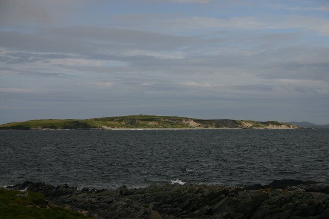
Lingeigh or Lingay is an unpopulated islet in the Outer Hebrides. It lies towards the southern end of the archipelago, just north of Pabbay and south of Vatersay The island of Vatersay (; ) is the southernmost and westernmost inhabited island in the Outer Hebrides of Scotland, and the settlement of Caolas on the north coast of the island is the westernmost permanently inhabited place in Scotland. The m .... There is a cave on the southeast side of the island. Notes and references Barra Isles Uninhabited islands of the Outer Hebrides {{WesternIsles-geo-stub ... [...More Info...] [...Related Items...] OR: [Wikipedia] [Google] [Baidu] |
Killegray
Killegray is an island in the Sound of Harris in the Outer Hebrides of Scotland. Geography Situated in the Sound of Harris, a channel of water between North Uist and the Isle of Harris Harris (, ) is the southern and more mountainous part of Lewis and Harris, the largest island in the Outer Hebrides, Scotland. Although not an island itself, Harris is often referred to in opposition to the ''Isle of Lewis'' as the Isle of Harr ..., Killegray is approximately long. The south end of the island is nearly all deep uncultivated moss. There is better cultivated land at the north. History Rubha Claidhe in the north is the site of a ruined chapel, Teampull na h-Annait, which may be the origin of the island's name. The island was occupied by a family of around three to eight people from 1841 to 1931. Two people were living on the island when the 1971 census was taken. The 19th-century Killegray House, the only house on the island, was renovated as holiday accommodation in 1991. ... [...More Info...] [...Related Items...] OR: [Wikipedia] [Google] [Baidu] |
Barra
Barra (; or ; ) is an island in the Outer Hebrides, Scotland, and the second southernmost inhabited island there, after the adjacent island of Vatersay to which it is connected by the Vatersay Causeway. In 2011, the population was 1,174. English and Gaelic are widely spoken, and at the 2011 Census, there were 761 Gaelic speakers (62% of the population, falling from 76% in the 1991 census). Geology In common with the rest of the Western Isles, Barra is formed from the oldest rocks in Britain, the Lewisian gneiss, which dates from the Archean, Archaean eon. Some of the gneiss in the east of the island is noted as being pyroxene-bearing. Layered textures or Foliation (geology), foliation in this metamorphic rock is typically around 30° to the east or northeast. Palaeoproterozoic age diorite, metadiorites and tonalite, metatonalites forming a part of the East Barra Meta-igneous Complex occur around Castlebay as they do on the neighbouring islands of Vatersay and Flodday, So ... [...More Info...] [...Related Items...] OR: [Wikipedia] [Google] [Baidu] |
Lingay, Fiaray
Lingay is an uninhabited island in Scotland, one of ten islands in the Sound of Barra, a Site of Community Importance for conservation in the Western Isles. It lies between South Uist, Eriskay Eriskay (), from the Old Norse for "Eric's Isle", is an island and community council area of the Outer Hebrides in northern Scotland with a population of 143, as of the United Kingdom Census 2011, 2011 census. It lies between South Uist and Bar ..., Fuday and Fiaraidh, once anglicized as Fiaray. Its maximum height is 51 metres. Footnotes Islands of the Sound of Barra Uninhabited islands of the Outer Hebrides {{WesternIsles-geo-stub ... [...More Info...] [...Related Items...] OR: [Wikipedia] [Google] [Baidu] |
Auskerry
Auskerry (; , east skerry) is a small island in eastern Orkney, Scotland. It lies in the North Sea south of Stronsay and has a lighthouse, completed in 1866. Description Auskerry is a small, flat, red sandstone islet, south of Stronsay. A standing stone and mediaeval chapel are signs of early settlement. The island was uninhabited for a time after the automation of the lighthouse in the 1960s. It was previously a popular location for hunting seals. Auskerry has been inhabited for nearly 50 years by a family (of the reporter Hamish Auskerry) who keep a flock of rare North Ronaldsay sheep. There are three small wind turbines and four solar panels on the island, which provide most of the power. After a series of expansions and renovations, the single roomed stone bothy is now a modern house with four bedrooms, kitchen, shower room and living room. The chemical toilet is outdoors due to the complication of installing septic tanks. Mail is delivered from Stronsay, once a month, ... [...More Info...] [...Related Items...] OR: [Wikipedia] [Google] [Baidu] |
Little Linga, Stronsay
Little is a synonym for small size and may refer to: Arts and entertainment * ''Little'' (album), 1990 debut album of Vic Chesnutt * ''Little'' (film), 2019 American comedy film *The Littles, a series of children's novels by American author John Peterson ** ''The Littles'' (TV series), an American animated series based on the novels Places *Little, Kentucky, United States *Little, West Virginia, United States Other uses *Clan Little, a Scottish clan *Little (surname), an English surname *Little (automobile), an American automobile manufactured from 1912 to 1915 *Little, Brown and Company, an American publishing company * USS ''Little'', multiple United States Navy ships See also * * *Little Mountain (other) *Little River (other) *Little Island (other) Little Island can refer to: Geographical areas Australia * Little Island (South Australia) * Little Island (Tasmania) * Little Island (Western Australia) Canada * Little Island (Lake Kagawong), Ontario ... [...More Info...] [...Related Items...] OR: [Wikipedia] [Google] [Baidu] |
Linga Holm
Linga Holm, commonly known as Linga, Midgarth and the Holm of Midgarth is an uninhabited Scottish island extending to approximately situated west of Stronsay island in the Orkney archipelago. The name "Linga Holm" is derived from the Old Norse ''Lyngholm''. History In common with many other Orkney islands, Linga Holm contains numerous archaeological remains. These include Pictish houses and ancient cairns. Although it is currently uninhabited, a household of six was recorded in 1841. Sheep In 1973 the Rare Breeds Survival Trust established a refuge population here of the very rare North Ronaldsay sheep, and the flock now numbers some 400. Wildlife It is thought to be the third largest breeding ground for the Atlantic grey seal in the world, and is an important nesting site for greylag geese. See also *Fogou *List of Orkney Islands This is a list of Orkney islands in Scotland. The Orkney archipelago is located north of mainland Scotland and comprises over 70 islan ... [...More Info...] [...Related Items...] OR: [Wikipedia] [Google] [Baidu] |
Stronsay
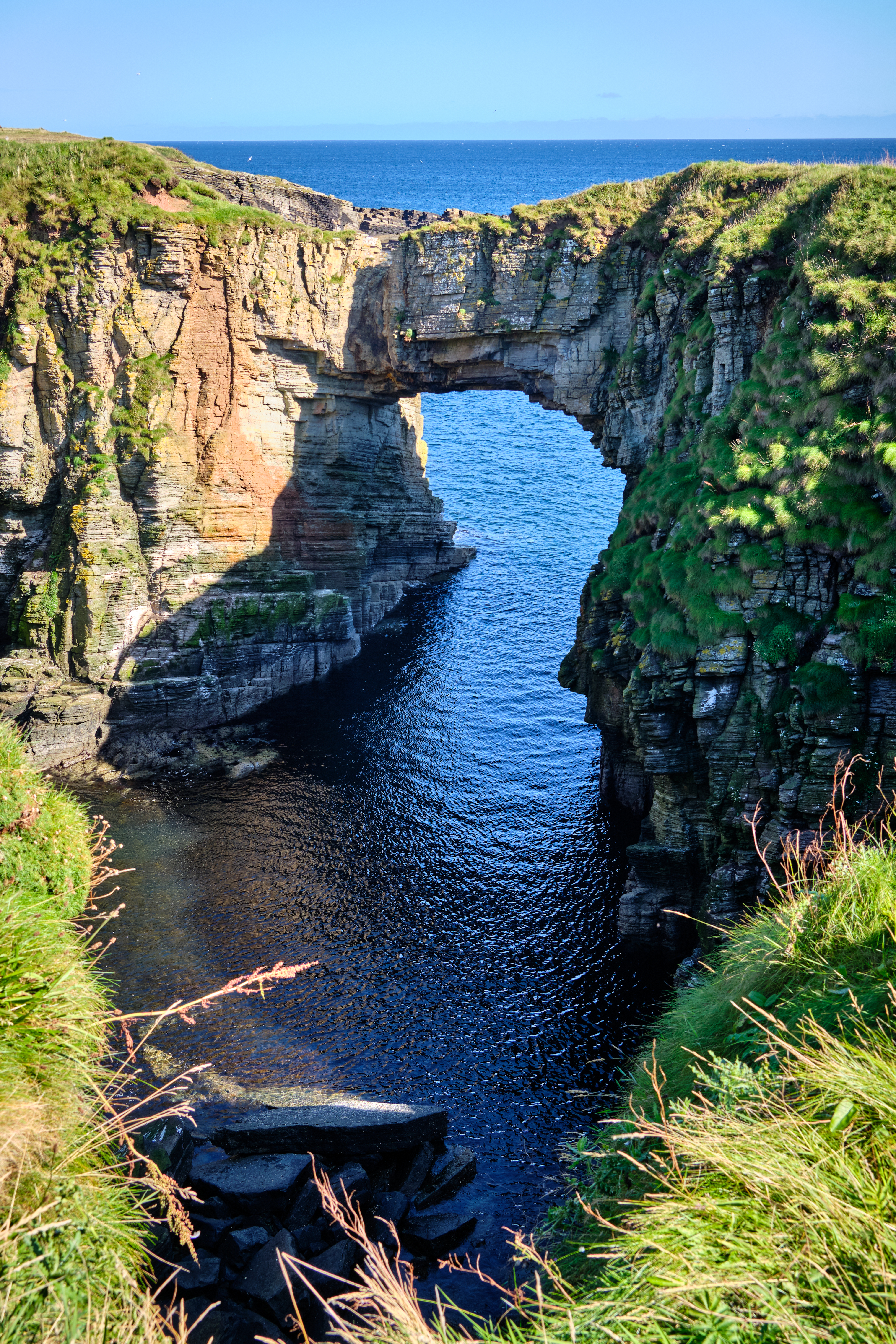
Stronsay () is an island in Orkney, Scotland. It is known as Orkney's 'Island of Bays', owing to an irregular shape with miles of coastline, with three large bays separated by two isthmuses: St Catherine's Bay to the west, the Bay of Holland to the south and Mill Bay to the east. Stronsay is in area, and in altitude at its highest point. It has a usually resident population of 349. The main village is Whitehall, home to a heritage centre. Sights on the island include the Vat of Kirbister, a natural arch described as the "finest in Orkney", white sand beaches in the three bays, and various seabirds amongst which are Arctic terns. Environment Geography and geology As with most of Orkney, Stronsay is made up of Old Red Sandstone which has produced a fine soil in many places. It is generally low-lying. On the eastern coast, spectacular rock formations include the Vat of Kirbister – Stronsay's famous natural rock arch, often described as the finest in Orkney. The coast around Od ... [...More Info...] [...Related Items...] OR: [Wikipedia] [Google] [Baidu] |
Fetlar
Fetlar is one of the North Isles of Shetland, Scotland, with a usually resident population of 61 at the time of the 2011 census. Its main settlement is Houbie on the south coast, home to the Fetlar Interpretive Centre. Other settlements include Aith, Funzie, Herra and Tresta. Fetlar is the fourth-largest island of Shetland and has an area of just over . Etymology There are three island names in Shetland of unknown and possibly pre-Celtic origin: Fetlar, Unst and Yell. The earliest recorded forms of these three names do carry Norse meanings: ''Fetlar'' is the plural of ''fetill'' and means "shoulder-straps", ''Omstr'' is "corn-stack", and ''í Ála'' is from ''ál'' meaning "deep furrow". However, these descriptions are hardly obvious ones as island names, and are probably adaptations of a pre-Norse language.Gammeltoft (2010) pp. 19–20 This may have been Pictish but there is no clear evidence for this.Gammeltoft (2010) p. 9 Haswell-Smith suggests a meaning of "prosperous ... [...More Info...] [...Related Items...] OR: [Wikipedia] [Google] [Baidu] |


