|
Linth
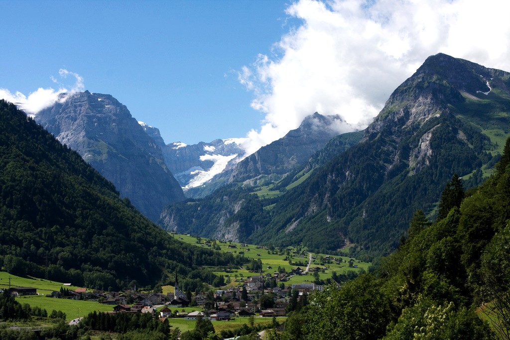
The Linth (pronounced "lint") is a Switzerland, Swiss river that rises near the Linthal, Glarus, village of Linthal in the mountains of the cantons of Switzerland, canton of canton of Glarus, Glarus, and eventually flows into the Obersee (Zürichsee), Obersee section of Lake Zurich. It is about in length. The water power of the Linth was a main factor in the creation of the textile industry of the canton Glarus, and is today used to drive the Linth–Limmern Power Stations, Linth–Limmern power stations in its upper reaches. The river and its upper valley forms the boundary between the mountain ranges of the Glarus Alps, to its east and south, and the Schwyzer Alps, to its west. In its lower part, in the Linth plain (), the Linth Canal forms the boundary between the cantons of Glarus and canton of St. Gallen, St. Gallen and part of the boundary between the cantons of St. Gallen and canton of Schwyz, Schwyz. The river lends its name to the former canton of Linth (1798–1803) ... [...More Info...] [...Related Items...] OR: [Wikipedia] [Google] [Baidu] |
Linthal, Glarus
Linthal is a village and former municipality in the municipality of Glarus Süd and canton of Glarus in Switzerland. The village lies near the head of the valley of the Linth river, and at the foot of the Klausen Pass into the canton of Uri. It is the terminus of the railway line that traverses the length of Glarus. History Linthal is first mentioned in 1289 as ''Lintal''. In 1879, Linthal was connected to the Swiss railway network by the opening of the Swiss Northeastern Railway line from Weesen. The road over the Klausen Pass was built between 1895 and 1900. Construction of the Linth–Limmern Power Stations, Linth–Limmern hydro-electric power scheme, in the mountains above Linthal, commenced in 1957, and was fully operational by 1968. In 2011, the municipality of Linthal was merged into the new municipality of Glarus Süd. Geography The village Linthal lies at the head of the valley of the Linth river, at an altitude of approximately . It is surrounded by mountains, incl ... [...More Info...] [...Related Items...] OR: [Wikipedia] [Google] [Baidu] |
Linth–Limmern Power Stations
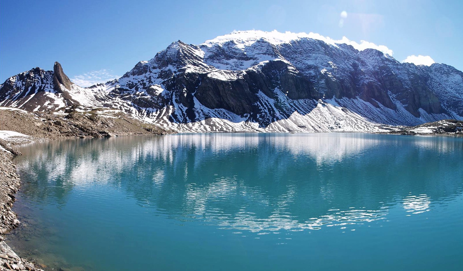
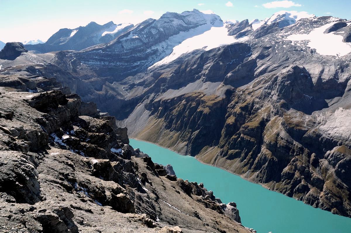
The Linth–Limmern Power Stations are a system of hydroelectric power stations located south of Linthal in the canton of Glarus, Switzerland. The system uses five reservoirs and four power stations at steep variations in altitude. Works on the complex began in 1957 with the construction of Lake Limmern Dam and the Mutt, Tierfehd and Linthal Power Stations. The dam was complete in 1963 and the power stations were all operational by 1968, with an installed capacity of 340 MW. In 2009, a 140 MW pumped-storage component between Lake Limmern and Tierfehd Reservoir was commissioned. In 2010, construction began on the Linthal 2015 Project, which included the expansion of Lake Mutt and Tierfehd Reservoir, and the addition of the Limmern Power Station, a 1,000 MW pumped-storage component between Lake Mutt and Lake Limmern. Commissioning of the last unit in Limmern was completed by December 2017, bringing the total installed capacity of the system to 1480 MW. Design and operation The high ... [...More Info...] [...Related Items...] OR: [Wikipedia] [Google] [Baidu] |
Obersee (Zürichsee)
The Obersee ("upper lake") is the smaller of the two parts of ''Zürichsee'' (Lake Zurich) in the cantons of Canton of St. Gallen, St. Gallen and Canton of Schwyz, Schwyz in Switzerland. Geography ''Zürichsee'' is the common name for the ''lower'' (''Untersee'') northwestern section of , while the smaller southeastern ''upper'' (''Obersee'') lake area measures , separated by the Seedamm causeway, a Molasse formation connecting Rapperswil with the Hurden peninsula. Before 1951 the annual water level fluctuated more than , but since then the water level is strictly regulated and therefore between summer and winter differs an average of . The average lake level is now at 406 metres above sea level, while ''Obersee'' and ''Untersee'' differ by only . The ''Seedamm'' between Rapperswil and Hurden was used since about 5,000 years as a Holzbrücke Rapperswil-Hurden, historical lake crossing. Since the 1870s a partially artificial road causeway and two bridges were added, to cro ... [...More Info...] [...Related Items...] OR: [Wikipedia] [Google] [Baidu] |
Rüti, Glarus
Rüti is a village, and former municipality, in the municipality of Glarus Süd and canton of Glarus in Switzerland. History Rüti is first mentioned about 1340. Agriculture was the main industry in Rüti until the 19th century. However, by the 17th century, manual cotton spinning was widespread. By 1770 this had declined and the resulting impoverishment ended only with the establishment of a cotton mill for mechanical spinning and weaving of cotton in 1847, and a second similar plant for weaving both wool and cotton in 1850. These factories attracted many foreign workers to Rüti, but their operations ceased in 2002. In 1879, Linthal was connected to the Swiss railway network by the opening of the Swiss Northeastern Railway line from Weesen to Linthal. Until 1939, the village of Braunwald formed part of the municipality of Rüti, but in that year it split off to form its own municipality. On 1 January 2011, both municipalities was reunited as part of the new municipality of G ... [...More Info...] [...Related Items...] OR: [Wikipedia] [Google] [Baidu] |
Schwanden, Glarus
Schwanden is a village, and former municipality, in the municipality of Glarus Süd and canton of Glarus in Switzerland. History Schwanden is first mentioned in 1240 as ''de swando''. In 1879, Schwanden was connected to the Swiss railway network by the opening of the Swiss Northeastern Railway line from Weesen. Between 1905 and 1969, the Sernftal tramway connected Schwanden with communities in the valley of the Sernf river as far as Elm. On 1 January 2011, Schwanden became part of the municipality of Glarus Süd. Geography Schwanden is situated at an elevation of at the point of confluence of the Linth and Sernf rivers. The village is located along the roads to Elm, Linthal and Schwändi, and includes the formerly independent (until 1876) hamlet of Thon. The villages of Nidfurn and Haslen lie to south in the valley of the Linth, whilst the village of Engi lies to the east in the valley of the Sernf. To the north, the village of Mitlödi lies in the valley of the Lin ... [...More Info...] [...Related Items...] OR: [Wikipedia] [Google] [Baidu] |
Canton Of Linth
Linth was a canton of the Helvetic Republic from 1798 to 1803, consisting of Glarus and its subject County of Werdenberg, the Höfe and March districts of Schwyz and the Züricher subject Lordship of Sax, along with a handful of shared territories. Its capital was Glarus. The canton was named after the Linth river. Administration The canton contained approximately 78,500 inhabitants. Like all the cantons of the Helvetic Republic, Linth was established and administered on a French Revolutionary model. Linth and was divided administratively into seven districts * Werdenberg: ::capital Werdenberg, 30 electors, approx. 10,500 inhabitants * Neu St. Johann: ::capital Neu St. Johann, 30 electors, approx. 11,600 inhabitants * Mels: ::capital Mels, 25 electors, approx. 9,800 inhabitants * Schwanden: ::capital Schwanden, 29 electors, approx. 10,100 inhabitants * Glarus: ::capital Glarus, 38 electors, 12,700 inhabitants * Schänis ( Gaster): ::capital Schänis, 29 electors, 11,900 ... [...More Info...] [...Related Items...] OR: [Wikipedia] [Google] [Baidu] |
Nidfurn
Nidfurn is a village, and former municipality, in the municipality of Glarus Süd and canton of Glarus in Switzerland. History Nidfurn is first mentioned in 1289 as ''Nitfúre''. Nidfurn belonged to Säckingen Abbey until 1395. During the Middle Ages, it was one of the richest parts of Glarus. Until the 20th century, the principal economic activity in the village was the raising of cattle, sheep and goats, with the dairy industry developing in the 18th century. Cotton spinning by hand was also common in the 18th century, but this never developed into factory-based industrial activity. In 1879, Linthal was connected to the Swiss railway network by the opening of the Swiss Northeastern Railway line from Weesen to Linthal. On 1 July 2006, the municipality of Nidfurn was merged into the municipality of Haslen. On 1 January 2011, the municipality of Haslen was itself merged into the new municipality of Glarus Süd. Geography Nidfurn is located in the valley of the Linth river, ... [...More Info...] [...Related Items...] OR: [Wikipedia] [Google] [Baidu] |
Lake Zurich
Lake Zurich (, ; ) is a lake in Switzerland, extending southeast of the city of Zurich. Depending on the context, Lake Zurich or can be used to describe the lake as a whole, or just that part of the lake downstream of the Hurden peninsula and Seedamm causeway (between Pfäffikon and Rapperswil). In the latter case, the upstream part of the lake is called '' Obersee'' (), while the lower part is sometimes also referred to as the Lower Lake (), respectively. Geography Lake Zurich is a glacial lake that was formed by the . Its main tributary is the River Linth, which rises in the glaciers of the Glarus Alps. The Linth originally flew directly into Lake Zurich, but was later diverted by the Escher canal (completed in 1811) into Lake Walen () from where its waters are now carried to the east end of Lake Zurich (near Schmerikon) by means of the straightened Linth canal (completed in 1816). Until the early 16th century, there was another lake upstream of ''Obersee'', Lake Tug ... [...More Info...] [...Related Items...] OR: [Wikipedia] [Google] [Baidu] |
Canton Of Glarus
The canton of Glarus ( ; ; ; ) is a cantons of Switzerland, canton in east-central Switzerland. The capital is Glarus. The population speaks a variety of Alemannic German. The majority of the population (81%) identifies as Christianity in Switzerland, Christian, about evenly split between Swiss Reformed Church, Protestants and Roman Catholicism in Switzerland, Catholics. History According to legend, the inhabitants of the Linth Valley were converted to Christianity in the 6th century by the Hiberno-Scottish mission, Irish monk Fridolin of Säckingen, Saint Fridolin, the founder of Säckingen Abbey in what is now the Germany, German state of Baden-Württemberg. From the 9th century, the area around Glarus was owned by Säckingen Abbey, the town of Glarus being recorded as ''Clarona''. The Alemanni began to settle in the valley in the early 8th century. The Alemannic German language took hold only gradually and was dominant by the 11th century. By 1288, the Habsburgs had claimed ... [...More Info...] [...Related Items...] OR: [Wikipedia] [Google] [Baidu] |
Glarus Alps
The Glarus Alps () are a mountain range in central Switzerland. They are bordered by the Uri Alps and the Schwyz Alps to the west, the Lepontine Alps to the south, the Appenzell Alps to the northeast. The eastern part of the Glarus Alps contains a major thrust fault that was declared a geologic UNESCO World Heritage Site (the Swiss Tectonic Arena Sardona). The Glarus Alps extend well beyond the canton of Glarus, including parts of the cantons of Canton of Uri, Uri, Graubünden, and Canton of St Gallen, St Gallen. Conversely, not all the mountains in the canton of Glarus are part of the Glarus Alps, with those to the north of the Urner Boden and to the west of the valley of the river Linth considered to be part of the Schwyz Alps. Geography The main chain of the Glarus Alps can be divided into six minor groups, separated from each other by passes, the lowest of which exceeds 7,500 ft. The westernmost of these is the Crispalt, a rugged range including many peaks of nearly e ... [...More Info...] [...Related Items...] OR: [Wikipedia] [Google] [Baidu] |
Canton Of Glarus
The canton of Glarus ( ; ; ; ) is a cantons of Switzerland, canton in east-central Switzerland. The capital is Glarus. The population speaks a variety of Alemannic German. The majority of the population (81%) identifies as Christianity in Switzerland, Christian, about evenly split between Swiss Reformed Church, Protestants and Roman Catholicism in Switzerland, Catholics. History According to legend, the inhabitants of the Linth Valley were converted to Christianity in the 6th century by the Hiberno-Scottish mission, Irish monk Fridolin of Säckingen, Saint Fridolin, the founder of Säckingen Abbey in what is now the Germany, German state of Baden-Württemberg. From the 9th century, the area around Glarus was owned by Säckingen Abbey, the town of Glarus being recorded as ''Clarona''. The Alemanni began to settle in the valley in the early 8th century. The Alemannic German language took hold only gradually and was dominant by the 11th century. By 1288, the Habsburgs had claimed ... [...More Info...] [...Related Items...] OR: [Wikipedia] [Google] [Baidu] |
Mitlödi
Mitlödi is a village and former Municipalities of Switzerland, municipality, in the municipality of Glarus Süd and canton of Glarus in Switzerland. History Mitlödi is first mentioned in 1320 as ''Mitlodi''. The coat of arms was officially adopted in 1939. It displays a silver fountain, the so-called "Schäflibrunnen", which is located in front of the church and was erected in the village in 1773. In 1879, Mitlödi was connected to the Swiss railway network by the opening of the Swiss Northeastern Railway line from Weesen. On 1 January 2011, Mitlödi became part of the municipality of Glarus Süd. Geography Mitlödi is located in the valley of the Linth river, on a pre-historic rock slide, at an elevation of . It consists of the village of Mitlödi itself, and the separate section of Ennetlinth on the right bank of the Linth. The Schwanden, Glarus, village of Schwanden lies upstream and to the south, whilst the Glarus, town of Glarus is downstream and to the north. Mitlödi ... [...More Info...] [...Related Items...] OR: [Wikipedia] [Google] [Baidu] |


