|
L'Anse Amour
L'Anse Amour () (''Cove of Love''), romanticized version of ''Anse aux Morts'' (''Cove of the Dead''), is a hamlet located on the north shore of the Strait of Belle Isle, Newfoundland and Labrador, Canada. As of 2006, it had a population of 8. The population of the village has not been officially counted since, though the total population of Subdivision 10A, which includes L'Anse Amour was 55 in 2021 (down from 61 in 2016). L'Anse Amour is located on Trans-Labrador Highway ( Route 510). Demographics The figures below pertain to Division No. 10, Subd. A, which includes L'Anse Amour. * Population, 2021: 55 * Population, 2016: 61 * Population change, 2016-2021: -9.8 percent * Area (square kilometers): 3,755.19 No statistics for the town of L'Anse Amour itself are available, though tourist Web sitelists the town's population at 8. History Human activity in the area dates back at least 8,300 years. The oldest evidence for this is a burial mound of a Maritime Archaic boy. His bod ... [...More Info...] [...Related Items...] OR: [Wikipedia] [Google] [Baidu] |
Strait Of Belle Isle
The Strait of Belle Isle ( ; ) is a waterway in eastern Canada, that separates Labrador from the island of Newfoundland (island), Newfoundland, in the province of Newfoundland and Labrador. Location The strait is located in the southeast of the Quebec-Labrador peninsula, Labrador peninsula, it is the northern outlet for the Gulf of St. Lawrence, the other two being the Cabot Strait and Strait of Canso. As such, it is also considered part of the St. Lawrence Seaway, Great Lakes-St. Lawrence Seaway system. The strait is approximately long and ranges from a maximum width of to just at its narrowest, the average width being . File:FMIB 34408 Berg off Belle Isle.jpeg, Iceberg 1911 File:L Anse Amour 960718 002 7143 4653.jpg, Rocks, iceberg, from L'Anse Amour hamlet File:Blanc Sablon, Qc - panoramio.jpg, Blanc-Sablon Bay, Blanc Sablon Bay, Green Island Cove and Green Island (51° 24′ 10.2″ N - 56° 34′ 36.1″ W) in background File:L'Anse-au-Loup.jpg, From L'Anse-au-Loup, ... [...More Info...] [...Related Items...] OR: [Wikipedia] [Google] [Baidu] |
L'Anse Au Loup
L'Anse-au-Loup (Town) is located on the banks of L'Anse-au-Loup Brook and the Strait of Belle Isle, in Newfoundland and Labrador province, Canada. History In Quebec-Labrador Peninsula, on the north shore of the Strait of Belle Isle, radiocarbon dating of archaeological sites leads geologists and archaeologists to date the presence of humans around 9,000 years ago, i.e. after the retreat of the ice from the last glaciation. After the glaciation, Newfoundland and Labrador was perhaps the last place to be populated by human groups. Small spear or dart points from Prince Edward Island are very similar to early artifacts found on the north shore of the Strait of Belle Isle. Archaeologists do not believe in coincidence, they rather put forward the thesis that the first Labradorians crossed the St. Lawrence River, travel East along the Lower North Shore, until arriving in Quebec-Labrador Peninsula, to end up settling there. So, the coasts of the Strait of Belle Isle, like those o ... [...More Info...] [...Related Items...] OR: [Wikipedia] [Google] [Baidu] |
List Of Communities In Newfoundland And Labrador
This article lists unincorporated communities of the province of Newfoundland and Labrador, Canada. Incorporated towns and cities are incorporated municipalities and can be found on List of municipalities in Newfoundland and Labrador. Newfoundland and Labrador at Confederation in 1949 had nearly 1,450 communities. Today it has fewer than 700. A listing of abandoned communities is found at the List of ghost towns in Newfoundland and Labrador. __NOTOC__ A * Aaron Arm, Burgeo (Newfoundland) * Allan's Island, Lamaline (Newfoundland) * Amherst Cove (Newfoundland) * Angelbrook, Glovertown (Newfoundland) * Angels Cove (Newfoundland) * Apsey Beach (Newfoundland) * Apsey Brook (Newfoundland) * Arnold's Cove Station (Newfoundland) * Aspen Cove (Newfoundland) B * Back Cove, Fogo (Newfoundland) * Back Harbour, Twillingate (Newfoundland) * Bacon Cove, Conception Harbour (Newfoundland) * Badger's Quay, New-Wes-Valley (Newfoundland) * Bailey's Cove, Bonavista (Newfoundland) * ... [...More Info...] [...Related Items...] OR: [Wikipedia] [Google] [Baidu] |
Atlantic Canada
Atlantic Canada, also called the Atlantic provinces (), is the list of regions of Canada, region of Eastern Canada comprising four provinces: New Brunswick, Newfoundland and Labrador, Nova Scotia, and Prince Edward Island. As of 2021, the landmass of the four Atlantic provinces was approximately , and had a population of over 2.4 million people. The term ''Atlantic Canada'' was popularized following the admission of Newfoundland as a Canadian province in 1949. The province of Newfoundland and Labrador is not included in the Maritimes, another significant regional term, but ''is'' included in Atlantic Canada. History The Atlantic Provinces are the historical territories of the Mi'kmaq, Naskapi, Beothuk and Nunatsiavut peoples. The people of Nunatsiavut are the Labrador Inuit (Labradormiut), who are descended from the Thule people. Exploration and settlement Leif Erikson and other members of his family began exploring the North American coast in 986 CE. Leif landed in three pla ... [...More Info...] [...Related Items...] OR: [Wikipedia] [Google] [Baidu] |
Seven Wonders Of Canada
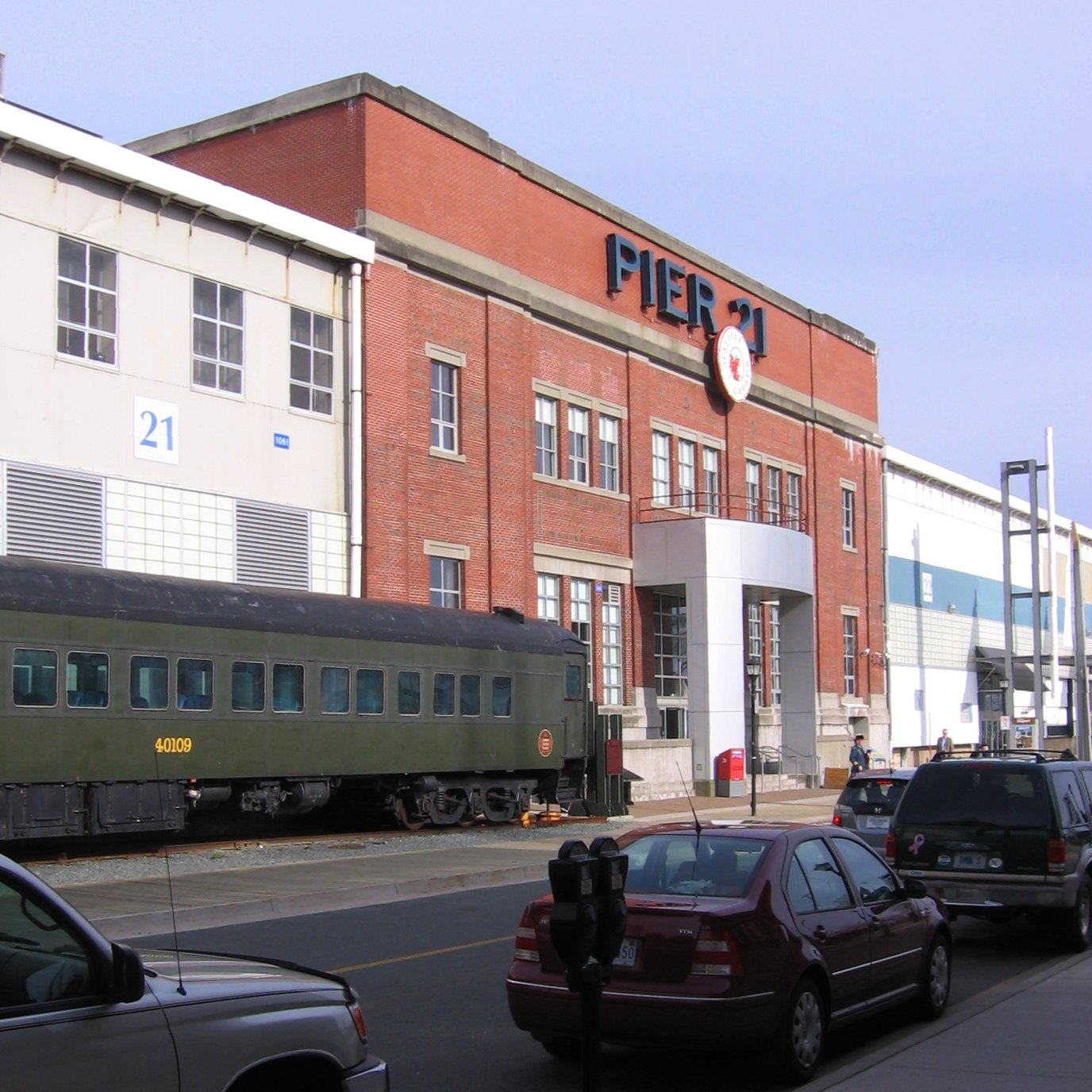
The Seven Wonders of Canada was a 2007 competition sponsored by CBC Television's ''CBC News: The National, The National'' and CBC Radio One's ''Sounds Like Canada''. They sought to determine Canada's "seven wonders" by receiving nominations from viewers, and then from on-line voting of the short list. After the vote, a panel of judges, Ra McGuire, Roy MacGregor and Roberta L. Jamieson, picked the winners based on geographic and poetic criteria. Their seven picks were revealed on ''CBC News: The National, The National'' on June 7, 2007, making the official Seven Wonders of Canada, the Canoe, the Igloo, Niagara Falls, Old Quebec City, Pier 21 Halifax, Prairie Skies, and the Rockies. CBC anchor Peter Mansbridge commented on the top winner, “it’s hard to imagine Canada being Canada without the canoe. Explorers, missionaries, fur traders and First Nations—they’re all linked by this subtle and simple craft. To many, the quintessential Canadian experience begins by picking up a padd ... [...More Info...] [...Related Items...] OR: [Wikipedia] [Google] [Baidu] |
Canadian Broadcasting Corporation
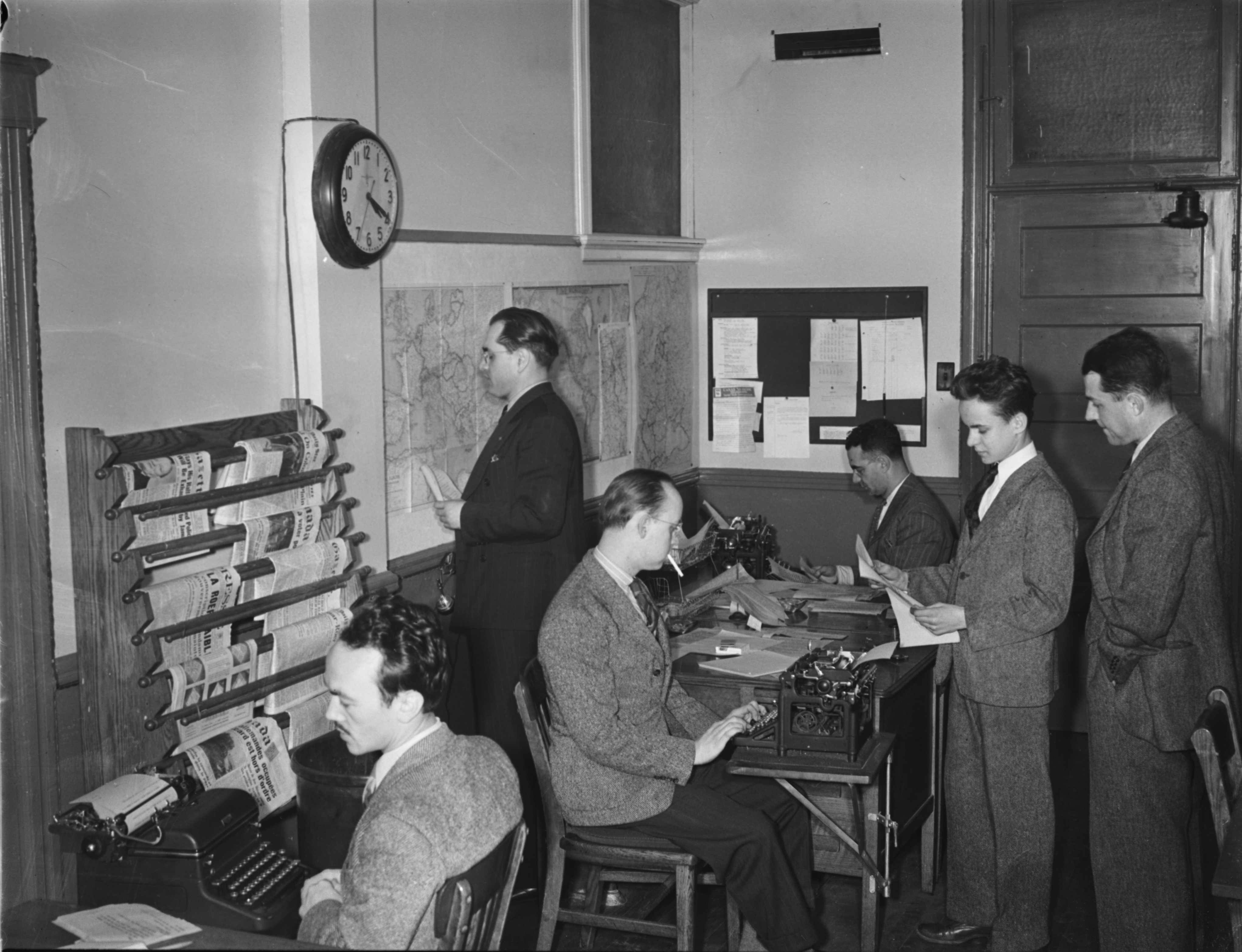
The Canadian Broadcasting Corporation (), branded as CBC/Radio-Canada, is the Canadian Public broadcasting, public broadcaster for both radio and television. It is a Crown corporation that serves as the national public broadcaster, with its English-language and French-language service units known as CBC and Radio-Canada, respectively. Although some local stations in Canada predate its founding, the CBC is the oldest continually-existing broadcasting network in Canada. The CBC was established on November 2, 1936. The CBC operates four terrestrial radio networks: The English-language CBC Radio One and CBC Music, and the French-language Ici Radio-Canada Première and Ici Musique (international radio service Radio Canada International historically transmitted via shortwave radio, but since 2012 its content is only available as podcasts on its website). The CBC also operates two terrestrial television networks, the English-language CBC Television and the French-language Ici Radio-C ... [...More Info...] [...Related Items...] OR: [Wikipedia] [Google] [Baidu] |
Forteau Bay
Forteau Bay is located in the Strait of Belle Isle, off the coast of Labrador, Newfoundland and Labrador, Canada Canada is a country in North America. Its Provinces and territories of Canada, ten provinces and three territories extend from the Atlantic Ocean to the Pacific Ocean and northward into the Arctic Ocean, making it the world's List of coun .... References Bays of Newfoundland and Labrador {{Labrador-geo-stub ... [...More Info...] [...Related Items...] OR: [Wikipedia] [Google] [Baidu] |
Point Amour Lighthouse
The Point Amour Lighthouse is located on the shore of Forteau Bay, in Strait of Belle Isle, Labrador Peninsula, L'Anse Amour hamlet, in southern Labrador, Newfoundland and Labrador, province, Canada. It was completed in 1857. It is the tallest lighthouse in Atlantic Canada, and the second tallest one in all of Canada, reaching a height of 109 feet (33m). The Point Amour Lighthouse was part of a series of four lighthouses built in the 1850s to allow for safer passage for the increased steamship travel between Europe and the new world at that time. The cylindrical tower is built of limestone and is painted white with a black band. The limestone used for construction of the lighthouse was obtained from local quarries. Other materials such as timber and brick were not as accessible and were shipped from Quebec to L’Anse au Loup. From L’Anse au Loup they were brought to the site where the lighthouse was constructed, four miles away. It was built in the series of Imperial Tow ... [...More Info...] [...Related Items...] OR: [Wikipedia] [Google] [Baidu] |
Iceberg
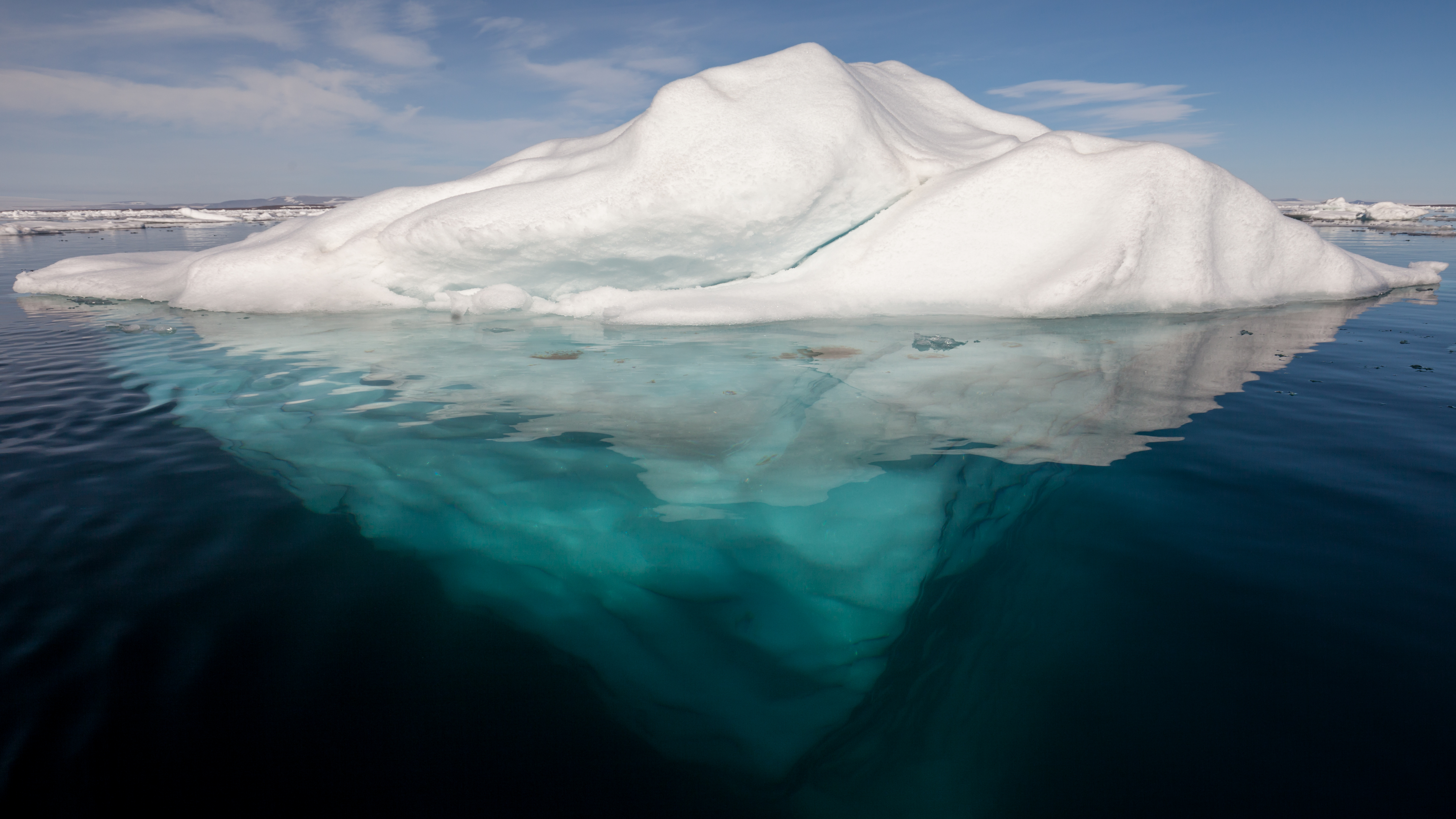
An iceberg is a piece of fresh water ice more than long that has broken off a glacier or an ice shelf and is floating freely in open water. Smaller chunks of floating glacially derived ice are called "growlers" or "bergy bits". Much of an iceberg is below the water's surface, which led to the expression " tip of the iceberg" to illustrate a small part of a larger unseen issue. Icebergs are considered a serious maritime hazard. Icebergs vary considerably in size and shape. Icebergs that calve from glaciers in Greenland are often irregularly shaped while Antarctic ice shelves often produce large tabular (table top) icebergs. The largest iceberg in recent history, named B-15, was measured at nearly in 2000. The largest iceberg on record was an Antarctic tabular iceberg measuring sighted west of Scott Island, in the South Pacific Ocean, by the USS ''Glacier'' on November 12, 1956. This iceberg was larger than Belgium. Etymology The word ''iceberg'' is a partial loan tr ... [...More Info...] [...Related Items...] OR: [Wikipedia] [Google] [Baidu] |
HMS Raleigh (1919)
HMS ''Raleigh'' was one of five heavy cruisers built for the Royal Navy during the First World War, although the ship was not completed until 1921. She was assigned to the North America and West Indies Station when she commissioned and often served as a flagship. After visiting ports in the Caribbean Sea, Gulf of Mexico and both coasts of the United States and Canada in 1921–1922, ''Raleigh'' ran aground off Labrador in August 1922 with the loss of a dozen crewmen. The ship was partially salvaged in place and was demolished with explosives in 1926, although she remains a diveable wreck in very shallow water. Design and description The ''Hawkins''-class cruisers were designed to be able to hunt down commerce raiders in the open ocean, for which they needed a heavy armament, high speed and long range. The ships had an overall length of , a beam of and a draught of at deep load. They displaced at normal load and at deep load. Their crew consisted of 712 officers and ... [...More Info...] [...Related Items...] OR: [Wikipedia] [Google] [Baidu] |
Atlantic Ocean
The Atlantic Ocean is the second largest of the world's five borders of the oceans, oceanic divisions, with an area of about . It covers approximately 17% of Earth#Surface, Earth's surface and about 24% of its water surface area. During the Age of Discovery, it was known for separating the New World of the Americas (North America and South America) from the Old World of Afro-Eurasia (Africa, Asia, and Europe). Through its separation of Afro-Eurasia from the Americas, the Atlantic Ocean has played a central role in the development of human society, globalization, and the histories of many nations. While the Norse colonization of North America, Norse were the first known humans to cross the Atlantic, it was the expedition of Christopher Columbus in 1492 that proved to be the most consequential. Columbus's expedition ushered in an Age of Discovery, age of exploration and colonization of the Americas by European powers, most notably Portuguese Empire, Portugal, Spanish Empire, Sp ... [...More Info...] [...Related Items...] OR: [Wikipedia] [Google] [Baidu] |
Gulf Of St
A gulf is a large inlet from an ocean or their seas into a landmass, larger and typically (though not always) with a narrower opening than a bay (geography), bay. The term was used traditionally for large, highly indented navigable bodies of salt water that are enclosed by the coastline. Many gulfs are major shipping areas, such as the Persian Gulf, Gulf of Mexico, Gulf of Finland, and Gulf of Aden. See also * References External links * {{Geography-stub Gulfs, Bodies of water Coastal and oceanic landforms Coastal geography Oceanographical terminology ... [...More Info...] [...Related Items...] OR: [Wikipedia] [Google] [Baidu] |


