|
Northridge, Los Angeles
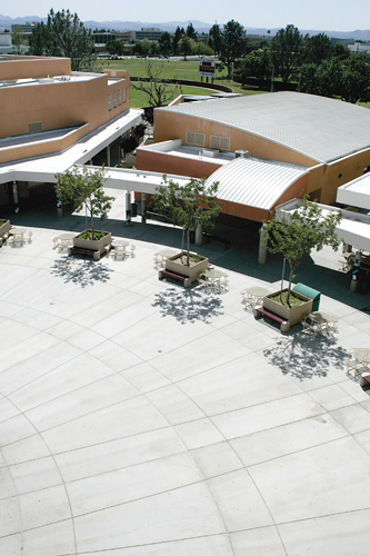
Northridge is a neighborhood in the San Fernando Valley region of the City of Los Angeles. The community is home to California State University, Northridge, and the Northridge Fashion Center. Originally named Zelzah by settlers in 1908, the community was renamed North Los Angeles in 1929 but the appellation sometimes caused confusion between North Hollywood and Los Angeles. In 1938, civic leader Carl S. Dentzel decided to rename the community to Northridge Village, which morphed into modern-day Northridge. The Northridge area can trace its history back to the Tongva people and later to Spanish explorers. It was sold by the Mexican governor Pío Pico to Eulogio de Celis, whose heirs divided it for resale. Population The 2000 U.S. census counted 57,561 residents in the Northridge neighborhood—or , among the lowest population densities for the city. In 2008, the city estimated that the population had increased to 61,993. In 2000 the median age for residents was 32, about ... [...More Info...] [...Related Items...] OR: [Wikipedia] [Google] [Baidu] |
Asian American
Asian Americans are Americans with ancestry from the continent of Asia (including naturalized Americans who are immigrants from specific regions in Asia and descendants of those immigrants). Although this term had historically been used for all the indigenous peoples of the continent of Asia, the usage of the term "Asian" by the United States Census Bureau denotes a racial category that includes people with origins or ancestry from East Asia, South Asia, Southeast Asia, and Central Asia. It excludes people with ethnic origins from West Asia, who were historically classified as 'white' and will be categorized as Middle Eastern Americans starting from the 2030 census. Central Asian ancestries (including Afghan, Kazakh, Kyrgyz, Tajik, Turkmen, and Uzbek) were previously not included in any racial category but have been designated as "Asian" as of 2024. The "Asian" census category includes people who indicate their race(s) on the census as "Asian" or reported entries s ... [...More Info...] [...Related Items...] OR: [Wikipedia] [Google] [Baidu] |
Pictographs
A pictogram (also pictogramme, pictograph, or simply picto) is a graphical symbol that conveys meaning through its visual resemblance to a physical object. Pictograms are used in systems of writing and visual communication. A pictography is a writing system which uses pictograms. Some pictograms, such as hazard pictograms, may be elements of formal languages. In the field of prehistoric art, the term "pictograph" has a different definition, and specifically refers to art painted on rock surfaces. Pictographs are contrasted with petroglyphs, which are carved or incised. Small pictograms displayed on a computer screen in order to help the user navigate are called '' icons''. Historical Early written symbols were based on pictograms (pictures which resemble what they signify) and ideograms (symbols which represent ideas). Ancient Sumerian, Egyptian, and Chinese civilizations began to adapt such symbols to represent concepts, developing them into logographic writing systems. Pic ... [...More Info...] [...Related Items...] OR: [Wikipedia] [Google] [Baidu] |
Uto-Aztecan
The Uto-Aztecan languages are a family of native American languages, consisting of over thirty languages. Uto-Aztecan languages are found almost entirely in the Western United States and Mexico. The name of the language family reflects the common ancestry of the Ute language of Utah and the Nahuan languages (also known as Aztecan) of Mexico. The Uto-Aztecan language family is one of the largest linguistic families in the Americas in terms of number of speakers, number of languages, and geographic extension. The northernmost Uto-Aztecan language is Shoshoni, which is spoken as far north as Salmon, Idaho, while the southernmost is the Nawat language of El Salvador and Nicaragua. ''Ethnologue'' gives the total number of languages in the family as 61, and the total number of speakers as 1,900,412. Speakers of Nahuatl languages account for over 85% of these. The internal classification of the family often divides it into two branches: a northern branch including all the languages o ... [...More Info...] [...Related Items...] OR: [Wikipedia] [Google] [Baidu] |
Takic
The Takic languages are a putative group of Uto-Aztecan languages historically spoken by a number of Indigenous peoples of California, Indigenous peoples of Southern California. Takic is grouped with the Tübatulabal language, Tubatulabal, Hopi language, Hopi, and Numic languages, Numic languages in the northern branch of the Uto-Aztecan family. Distribution Prior to European contact, the Takic languages were spoken along coastal California between modern Malibu, California, Malibu and Carlsbad, California, Carlsbad and on the Channel Islands (California), Southern Channel Islands. The Takic languages also were spoken in the Southern California interior, in portions of the Coachella Valley, Mojave Desert and Tehachapi Mountains. List of Takic languages *Cahuilla language *Cupeño language *Luiseño language *Serrano language *Tongva language *Kitanemuk language *Tataviam language ? *Nicoleño language ? Classification As classified by Victor Golla. *Takic **Serrano-Kitanemuk ... [...More Info...] [...Related Items...] OR: [Wikipedia] [Google] [Baidu] |
Chatsworth, Los Angeles
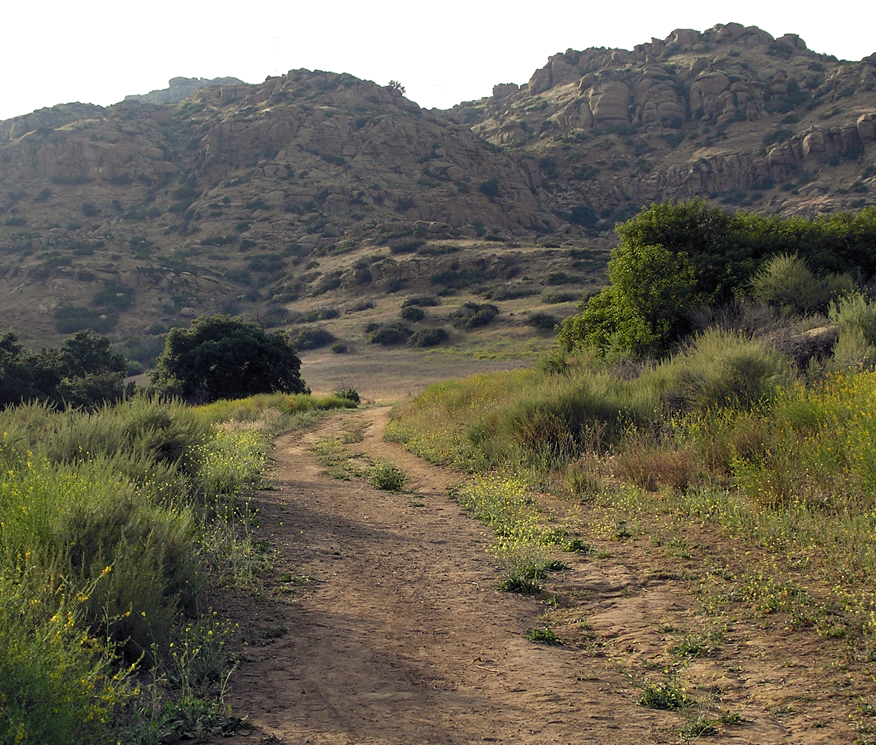
Chatsworth is a suburban neighborhood in Los Angeles, California, in the San Fernando Valley. The area around the town was home to Native Americans, who left caves containing rock art. Chatsworth was explored and colonized by the Spanish Empire, Spanish beginning in the 18th century in the United States, 18th century. The land was part of a Spanish land grant, Rancho Ex-Mission San Fernando. After the United States took over the land following the Mexican–American War, it was the largest such grant in California. Chatsworth has seven public and eight private schools. There are large open-space and smaller recreational parks as well as a public library and a transportation center. Landmarks in the town include the former Chatsworth Reservoir and the Santa Susana Field Laboratory. The neighborhood has one of the lowest population densities in Los Angeles and a relatively high income level. Chatsworth is the home of the Iverson Movie Ranch, a 500-acre area which was the most fil ... [...More Info...] [...Related Items...] OR: [Wikipedia] [Google] [Baidu] |
Winnetka, Los Angeles
Winnetka () is a neighborhood in the west-central San Fernando Valley in the city of Los Angeles. It is an ethnically diverse area, both for the city and for Los Angeles County, with a relatively large percentage of Hispanic and Asian people. Winnetka was founded in 1922 as a small farming community. As of 2018, there are six public and four private schools in the area, a recreation center, two pocket parks and a city-operated child-care center. Population The 2000 U.S. census counted 40,943 residents in the 4.78-square-mile Winnetka neighborhood, or 9,286 people per square mile, about an average population density for the city. In 2008, the city estimated that the population had increased to 54,825. In 2000 the median age for residents was 32, considered average for city and county neighborhoods. "Winnetka," ... [...More Info...] [...Related Items...] OR: [Wikipedia] [Google] [Baidu] |
Reseda, Los Angeles
Reseda is a neighborhood in the San Fernando Valley region of Los Angeles, California. It was founded in 1912, and its central business district started developing in 1915. The neighborhood was devoted to agriculture for many years. Earthquakes struck the area in 1971 San Fernando earthquake, 1971 and 1994 Northridge earthquake, 1994. The neighborhood has 15 public and five private schools. The community includes public parks, a senior center and a regional branch library. History Founding and growth The area now known as Reseda was inhabited by Indigenous peoples of the Americas, Native Americans of the Tongva tribe who lived close to the Los Angeles River. In 1909 the Suburban Homes Company, a syndicate led by Hobart Johnstone Whitley, H. J. Whitley, general manager of the Board of Control, Harry Chandler, Harrison Gray Otis (publisher), H.G. Otis, Moses Sherman, M.H. Sherman and O.F. Brandt purchased 48,000 acres of the Farming and Milling Company for $2,500,000. Henry E ... [...More Info...] [...Related Items...] OR: [Wikipedia] [Google] [Baidu] |
Lake Balboa
Lake Balboa is a neighborhood in the San Fernando Valley region of Los Angeles, California. The area was previously part of Van Nuys.Map . ''Lake Balboa Neighborhood Council''. Retrieved on December 6, 2008. Population The 2000 U.S. census counted 24,328 residents in the 3.13-square-mile Lake Balboa neighborhood—or 7,754 people per square mile, about an average for the city. In 2008, the city estimated that the population had increased to 26,195. In 2000 the median age for residents was 35, considered average for city and county neighborhoods, but the percentage of residents aged 35 to 49 was among the county's highest.[...More Info...] [...Related Items...] OR: [Wikipedia] [Google] [Baidu] |
Van Nuys, Los Angeles
Van Nuys ( ) is a neighborhood in the central San Fernando Valley region of Los Angeles, California. Home to Van Nuys Airport and the Valley Municipal Building, it is the most populous neighborhood in the San Fernando Valley. History In 1909, the Suburban Homes Company – a syndicate led by Hobart Johnstone Whitley, general manager of the board of control, along with Harry Chandler, H. G. Otis, M. H. Sherman and O. F. Brandt – purchased 48,000 acres of the Farming and Milling Company for $2.5 million. Henry E. Huntington extended his Pacific Electric Railway (Red Cars) through the Valley to Owensmouth (now Canoga Park). The Suburban Home Company laid out plans for roads and the towns of Van Nuys, Reseda (Marian) and Canoga Park (Owensmouth). The rural areas were annexed into the city of Los Angeles in 1915. The town was founded in 1911 and named for one of its developers, Isaac Newton Van Nuys, a rancher and entrepreneur of Dutch ancestry. It was annexed by Lo ... [...More Info...] [...Related Items...] OR: [Wikipedia] [Google] [Baidu] |
North Hills, Los Angeles
North Hills, known previously as Sepulveda, is a neighborhood in the San Fernando Valley region of Los Angeles, California. North Hills was originally part of an agricultural community known as Mission Acres. After World War II, the newly developed suburban community was renamed Sepulveda, after the prominent Sepúlveda family of California. In 1991, it was renamed North Hills. Geography Location The neighborhood of North Hills is located in the central San Fernando Valley, a region of the city of Los Angeles. It is intersected by the 405 Freeway and lies between Bull Creek and the Pacoima Wash. By road, it is 21 miles northwest of downtown; In relation to the cities surrounding Los Angeles, the neighborhood is about 17 miles north of Santa Monica, 16 miles east of Simi Valley, 14 miles northeast of Calabasas, 13 miles northwest of Burbank, 12 miles south of Santa Clarita, and 4 miles southwest of San Fernando. Surrounding neighborhoods are Northridge to the west, P ... [...More Info...] [...Related Items...] OR: [Wikipedia] [Google] [Baidu] |
Granada Hills, Los Angeles
Granada Hills is a neighborhood in the San Fernando Valley region of Los Angeles. The community has a sports program and a range of city recreation centers. The neighborhood has fourteen public and ten private schools. History The Granada Hills area is situated on the traditional homelands of the Tongva and Chumash people, Chumash. The Tongva village of Ceegenga may have been the closest village located to the Granada Hills area. The community began as a dairy farm and orchard known as the Sunshine Ranch which grew apricots, oranges, walnuts and beans. Vestiges of former citrus groves can still be seen in orange, lemon or grapefruit trees in many residential yards. In 1916, the San Fernando Valley's first oil well was drilled in what is now Granada Hills. The oil well was located at the northern tip of Zelzah Avenue. Granada Hills was founded in 1926 as "Granada;" the "Hills" portion of the name was added 15 years later. Geography and climate Granada Hills is located at the foo ... [...More Info...] [...Related Items...] OR: [Wikipedia] [Google] [Baidu] |


