|
Morecambe Bay
Morecambe Bay is an estuary in north-west England, just to the south of the Lake District National Park. It is the largest expanse of intertidal mudflats and sand in the United Kingdom, covering a total area of . In 1974, the second largest gas field in the UK was discovered west of Blackpool, with original reserves of over 7 trillion cubic feet (tcf) (200 billion cubic metres). At its peak, 15% of Britain's gas supply came from the bay but production is now in decline. Morecambe Bay is also an important wildlife site, with abundant birdlife and varied marine habitats. Natural features The rivers River Leven, Cumbria, Leven, River Kent, Kent, River Keer, Keer, River Lune, Lune and River Wyre, Wyre drain into the Bay, with their various estuaries making a number of peninsulas within the bay. Much of the land around the bay is reclaimed, forming salt marshes used in agriculture. The bay is known for its wildlife populations, being a Special Area of Conservation, Special Protect ... [...More Info...] [...Related Items...] OR: [Wikipedia] [Google] [Baidu] |
Location Map United Kingdom Morecambe Bay
In geography, location or place is used to denote a region (point, line, or area) on Earth's surface. The term ''location'' generally implies a higher degree of certainty than ''place'', the latter often indicating an entity with an ambiguous boundary, relying more on human or social attributes of place identity and sense of place than on geometry. A populated place is called a ''Human settlement, settlement''. Types Locality A suburb, locality, human settlement, settlement, or populated place is likely to have a well-defined name but a boundary that is not well defined, but rather varies by context. London, for instance, has a legal boundary, but this is unlikely to completely match with general usage. An area within a town, such as Covent Garden in London, also almost always has some ambiguity as to its extent. In geography, location is considered to be more precise than "place". Relative location A relative location, or situation, is described as a displacement from another si ... [...More Info...] [...Related Items...] OR: [Wikipedia] [Google] [Baidu] |
Special Protection Area
A special protection area (SPA) is a designation under the European Union Directive on the Conservation of Wild Birds. Under the Directive, Member States of the European Union (EU) have a duty to safeguard the habitats of migratory birds and certain particularly threatened birds. Together with special areas of conservation (SACs), the SPAs form a network of protected sites across the EU, called Natura 2000. Each SPA has an EU code – for example the North Norfolk Coast SPA has the code ''UK9009031''. In the United Kingdom As at 21 September 2006, there were 252 classified SPAs and 12 proposed SPAs in England, Scotland, Wales and Northern Ireland. The Conservation (Natural Habitats etc.) Regulations 1994 implement the terms of the Directive in Scotland, England and Wales. In Great Britain, SPAs (and SACs) designated on land or in the intertidal area are normally also notified as Sites of Special Scientific Interest (SSSIs), and in Northern Ireland as Areas of Special Scientif ... [...More Info...] [...Related Items...] OR: [Wikipedia] [Google] [Baidu] |
Foulney Island
Foulney Island is a low-lying grass and shingle area 1 mile (1.6 km) to the south-east of Roa Island, off the southern tip of the Furness Peninsula in Cumbria, England. Foulney Island is one of the Islands of Furness in Morecambe Bay, northern England. For local government purposes the island is in the borough of Westmorland and Furness. It has an area of about 40 acres (16 ha). In earlier times it was known as ''Fowle Island''. The island is connected to the mainland via a shingle and rock causeway which was built in Victorian times as a tidal protection measure. The Foulney causeway leaves the Roa Island causeway halfway along its length on the eastern side. The maximum elevation on the island is no more than 10 feet (3 metres) above the high tide level. At the time of highest tides much of the island can be inundated. There are no permanent inhabitants on the island. Bird sanctuary Foulney is a bird sanctuary and is included in the South Walney & Piel Channel Flats Sit ... [...More Info...] [...Related Items...] OR: [Wikipedia] [Google] [Baidu] |
Chapel Island
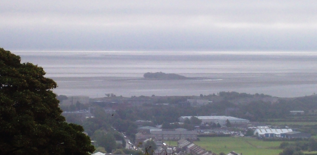
Chapel Island is a limestone outcrop that lies in the Leven estuary of Morecambe Bay in England, less than from the shoreline at Bardsea in the area known as Ulverston Sands. It is located at ( OS grid ref. SD 321759). It is one of the Islands of Furness in the county of Cumbria, in the area of the historic county of Lancashire ("Lancashire north of the sands"). The island is approximately long and just over at its widest. Its area is about . Chapel Island, known as Harlesyde Isle in 1593, got its present name in 1795. The name was coined by Mrs. Radcliffe in her book ‘Tour of the Lakes’.Farrer and Brownbill, 1914, The Victoria History of the County of Lancashire, Vol. 8, p.276. In the 14th century Augustinian canons from nearby Conishead Priory built a small chapel on the island to serve the needs of travellers and fishermen working in the Leven fisheries. The Island lies on the path of the ancient crossing from Cartmel to Conishead and would have been a place of ha ... [...More Info...] [...Related Items...] OR: [Wikipedia] [Google] [Baidu] |
Piel Island
Piel Island lies in Morecambe Bay, around off the southern tip of the Furness peninsula in the administrative county of Cumbria, England. It is one of the Islands of Furness, three of which sit near to Piel at the mouth of Walney Channel. The island is the location of Piel Castle, built by the monks of Furness Abbey in the fourteenth century. Historically within Lancashire, the island today is owned by the town of Barrow-in-Furness, having been given to the people by the Duke of Buccleuch in 1922. The council's administrative duties also include the selection of the "King" of Piel, who is the landlord of the island's public house, the Ship Inn. Piel is about in size. The landlord and their family and three others who live in the old Ship's pilots' cottages are the island's only permanent residents. History In the Middle Ages Piel was known as Fowdray (or Fouldrey or Fowdrey) island. This name would seem to be derived from the Old Norse words ', meaning "fodder", and ' o ... [...More Info...] [...Related Items...] OR: [Wikipedia] [Google] [Baidu] |
Sheep Island (England)
Sheep Island is an uninhabited grassy island of around , located just over from the shore of Walney Island, opposite Snab Point. It is one of the Islands of Furness and is in Westmorland and Furness in Cumbria in north-west England. The island's geographic location is, using the British national grid reference system, . Sheep Island is accessible on foot at low tide from either Walney, or from Piel Island Piel Island lies in Morecambe Bay, around off the southern tip of the Furness peninsula in the administrative county of Cumbria, England. It is one of the Islands of Furness, three of which sit near to Piel at the mouth of Walney Channel. T ... - a distance of about a mile (approx. 1.5 km). The island is uninhabited and there is no shelter. Between 1892 and 1922 it included a small isolation hospital located within a wooden building, which was erected by Barrow Borough Council at a cost of £257 but seldom used. Islands of Furness Uninhabited islands of Eng ... [...More Info...] [...Related Items...] OR: [Wikipedia] [Google] [Baidu] |
Barrow Island, Barrow-in-Furness
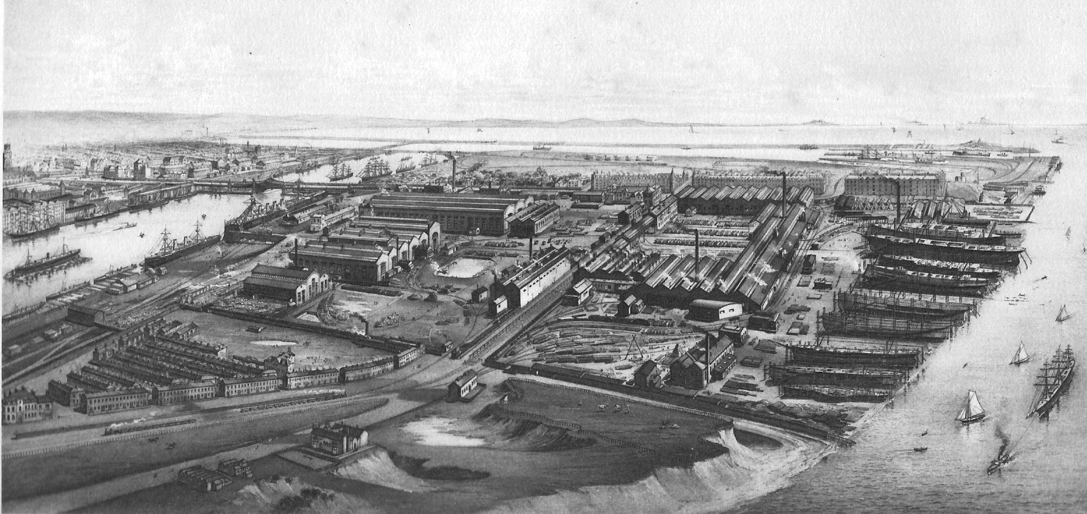
Barrow Island is an area, current Town Council and former district-level ward of Westmorland and Furness, Cumbria, England. Originally separate from the British mainland, land reclamation in the 1860s saw the northern fringes of the island connected to Central Barrow. Barrow Island is also bound to the south and east by the town's dock system and to the west by Walney Channel. The Ward population taken at the 2011 census was 2,616. Whilst still an electoral ward for Barrow Town Council, the ward was combined at a district/ local authority level with Central and Hindpool wards in April 2023 following formation of the new Westmorland and Furness local authority and be named 'Old Barrow'. Background and history The name of the town of Barrow-in-Furness is believed to derive from the Norse word ''Barrae'', meaning ''Bare Island'', which actually referred to Barrow Island. Since the 1860s the island has been connected to the mainland as its channel was modified to form two doc ... [...More Info...] [...Related Items...] OR: [Wikipedia] [Google] [Baidu] |
Furness Islands
The Islands of Furness are situated to the south-west and east of the Furness Peninsula. Within England, they are the third biggest collection of islands. They are generally quite small, though at 12.99 km2 Walney Island is the eighth biggest in England. Of these, only Walney Island, Barrow Island, Roa Island and Piel Island are inhabited. The majority of the islands lay within the boundary of the former Borough of Barrow-in-Furness, with some 15,000 residents constituting 20% of the district's population. They are the largest group of islands between Anglesey in Wales and the Firth of Clyde in Scotland. The main islands are: *Walney Island - Population 10,651 (Settlements include Biggar, North Scale, North Walney and Vickerstown) * Barrow Island - Population 2,616 * Sheep Island - Population 0 * Roa Island - Population ~100 *Piel Island - Population ~10 *Foulney Island - Population 0 *Chapel Island - Population 0 As well as these, the small islets of Dova Haw ... [...More Info...] [...Related Items...] OR: [Wikipedia] [Google] [Baidu] |
Cockle (bivalve)
A cockle is an edible marine bivalve mollusc. Although many small edible bivalves are loosely called cockles, true cockles are species in the family Cardiidae.>MolluscaBase eds. (2022). MolluscaBase. Cardiidae Lamarck, 1809. Accessed through: World Register of Marine Species on 2022-02-09/ref> True cockles live in sandy, sheltered beaches throughout the world. The distinctive rounded shells are bilaterally symmetrical, and are heart-shaped when viewed from the end. Numerous radial, evenly spaced ribs are a feature of the shell in most but not all genera (for an exception, see the genus '' Laevicardium'', the egg cockles, which have very smooth shells). The shell of a cockle is able to close completely (i.e., there is no "gap" at any point around the edge). Though the shell of a cockle may superficially resemble that of a scallop because of the ribs, cockles can be distinguished from scallops morphologically in that cockle shells lack "auricles" (triangular ear-shaped protrusi ... [...More Info...] [...Related Items...] OR: [Wikipedia] [Google] [Baidu] |
High Brown Fritillary
''Fabriciana adippe'', the high brown fritillary, is a large and brightly colored butterfly of the family Nymphalidae, native to Europe and across the Palearctic to Japan. It is known for being Great Britain's most threatened butterfly and is listed as a vulnerable species under the Wildlife and Countryside Act 1981.Barnett, L. K., & Warren, M. S. (1995). ''High Brown Fritillary ''. Wareham, Dorset: Butterfly Conservation Like other fritillaries it is dependent on warm climates with violet-rich flora. __TOC__ Description The high brown fritillary's wingspan is on average around 65 mm. Its upper wings are orange with black markings and the undersides are colored a duller orange with white and brown markings. While flying, it is very hard to distinguish from the dark green fritillary which has many of the same markings. The male and female fritillary share many of the same physical features. Larvae are brown with a single longitudinal white stripe down the length of their ... [...More Info...] [...Related Items...] OR: [Wikipedia] [Google] [Baidu] |
Morecambe Bay Pavements
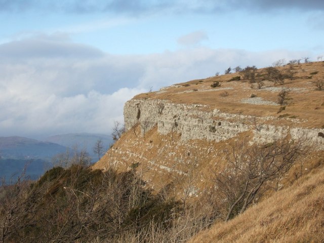
Morecambe Bay Pavements is a multi-site Special Area of Conservation comprising limestone pavements around Morecambe Bay in North-West England. It was designated in 2005 under the Habitats Directive. The SAC does not include any marine areas; Morecambe Bay itself is a separate SAC, which was designated the same year. The SAC is designated for its biological rather geological interest, but the areas protected, on the margins of Morecambe Bay, have in common that they feature faulted outcrops of Carboniferous Limestone, Lower Carboniferous Limestone. The limestone tends to form hills as it is more resistant to erosion than other rocks in the area. There are separate WP articles describing the sites (which are in the counties of Cumbria and Lancashire): * Cunswick Scar * Hutton Roof Crags * Scout Scar * Whitbarrow Other levels of protection Parts of the SAC lies within the Arnside and Silverdale Area of Outstanding Natural Beauty (designated in 1972), and the Lake District Nationa ... [...More Info...] [...Related Items...] OR: [Wikipedia] [Google] [Baidu] |
Protected Area
Protected areas or conservation areas are locations which receive protection because of their recognized natural or cultural values. Protected areas are those areas in which human presence or the exploitation of natural resources (e.g. firewood, non-timber forest products, water, ...) is limited. The term "protected area" also includes marine protected areas and transboundary protected areas across multiple borders. As of 2016, there are over 161,000 protected areas representing about 17 percent of the world's land surface area (excluding Antarctica). For waters under national jurisdiction beyond inland waters, there are 14,688 Marine Protected Areas (MPAs), covering approximately 10.2% of coastal and marine areas and 4.12% of global ocean areas. In contrast, only 0.25% of the world's oceans beyond national jurisdiction are covered by MPAs. In recent years, the 30 by 30 initiative has targeted to protect 30% of ocean territory and 30% of land territory worldwide by 2030; this ... [...More Info...] [...Related Items...] OR: [Wikipedia] [Google] [Baidu] |


