|
Kohistan District, Pakistan
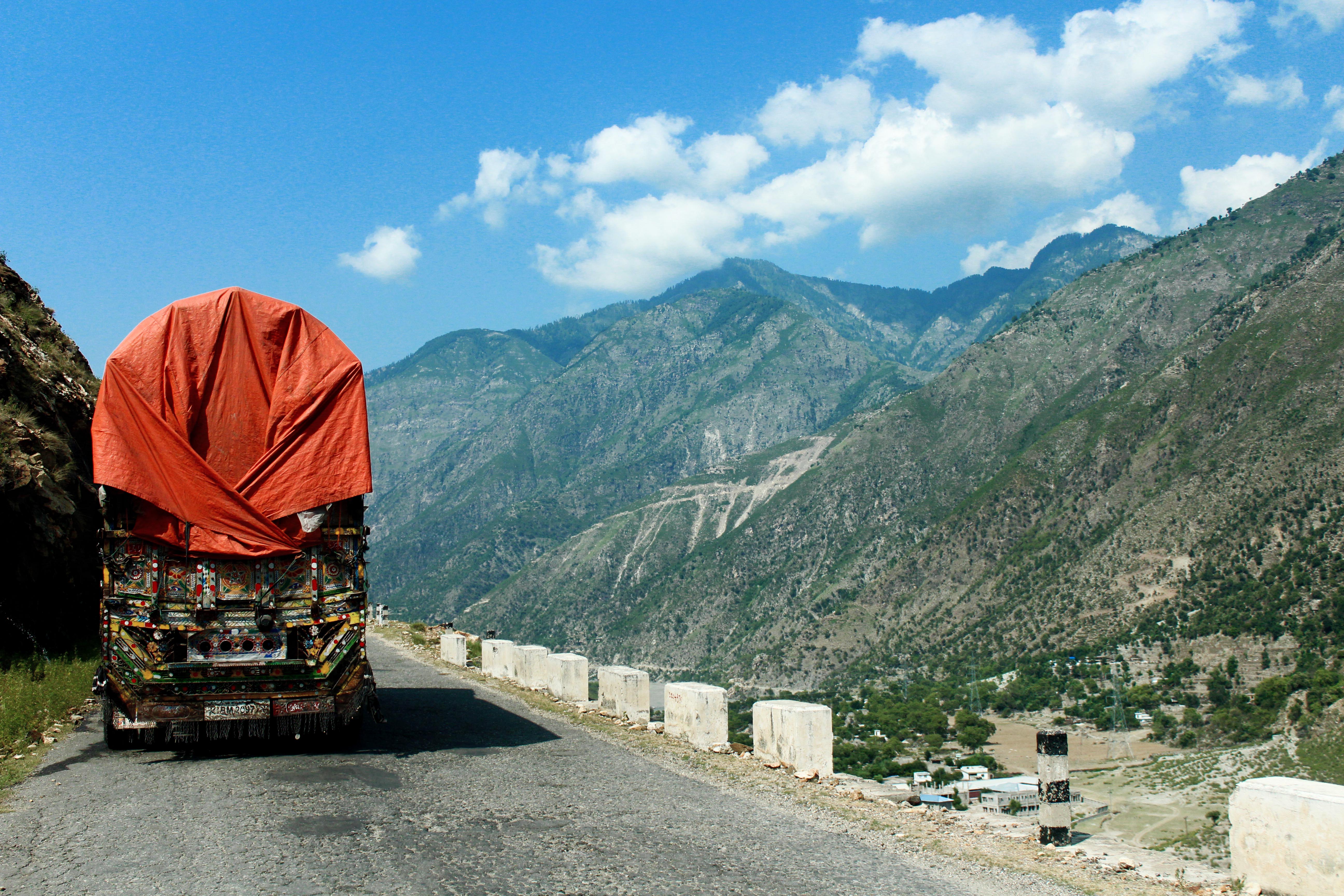
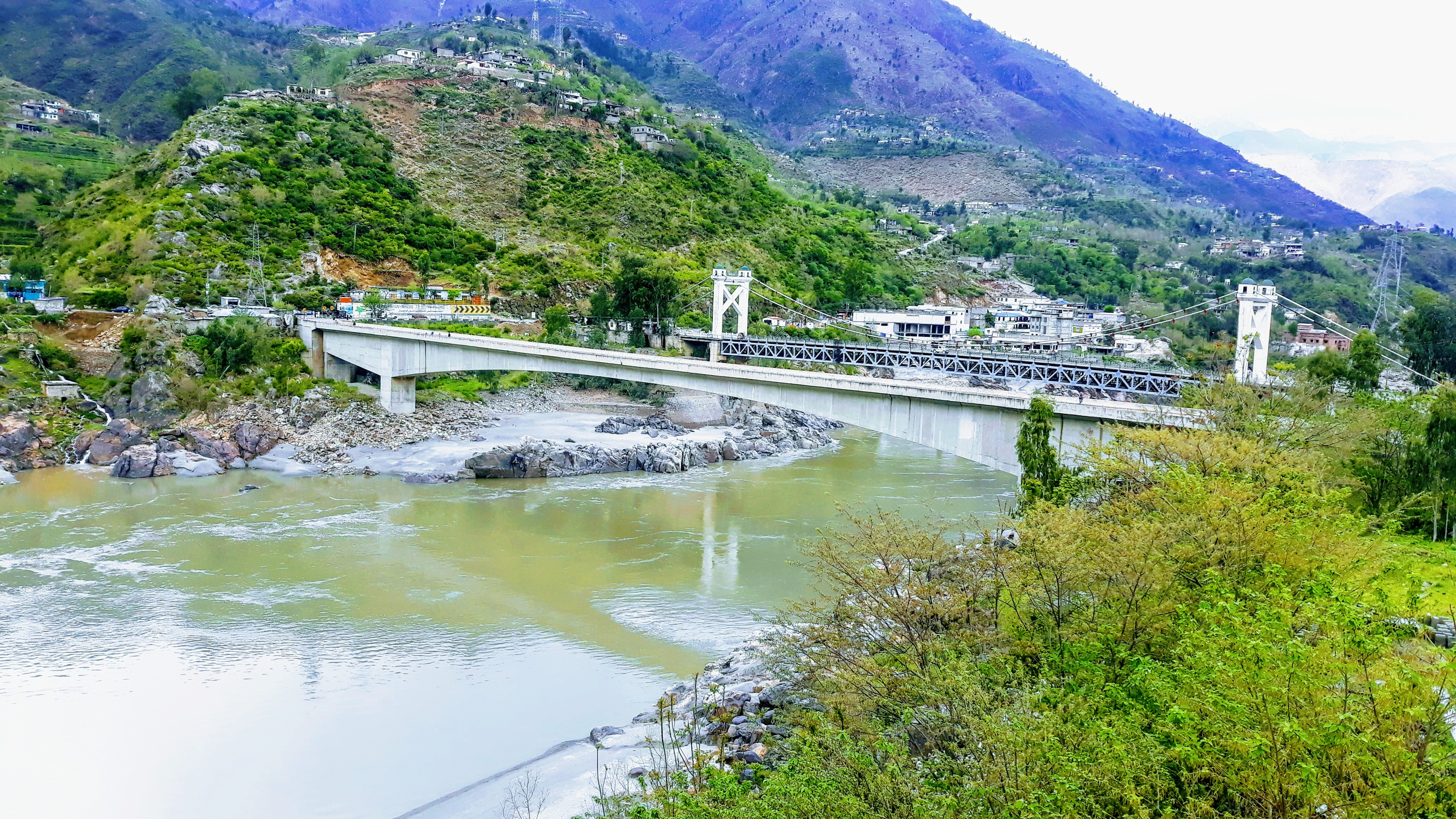
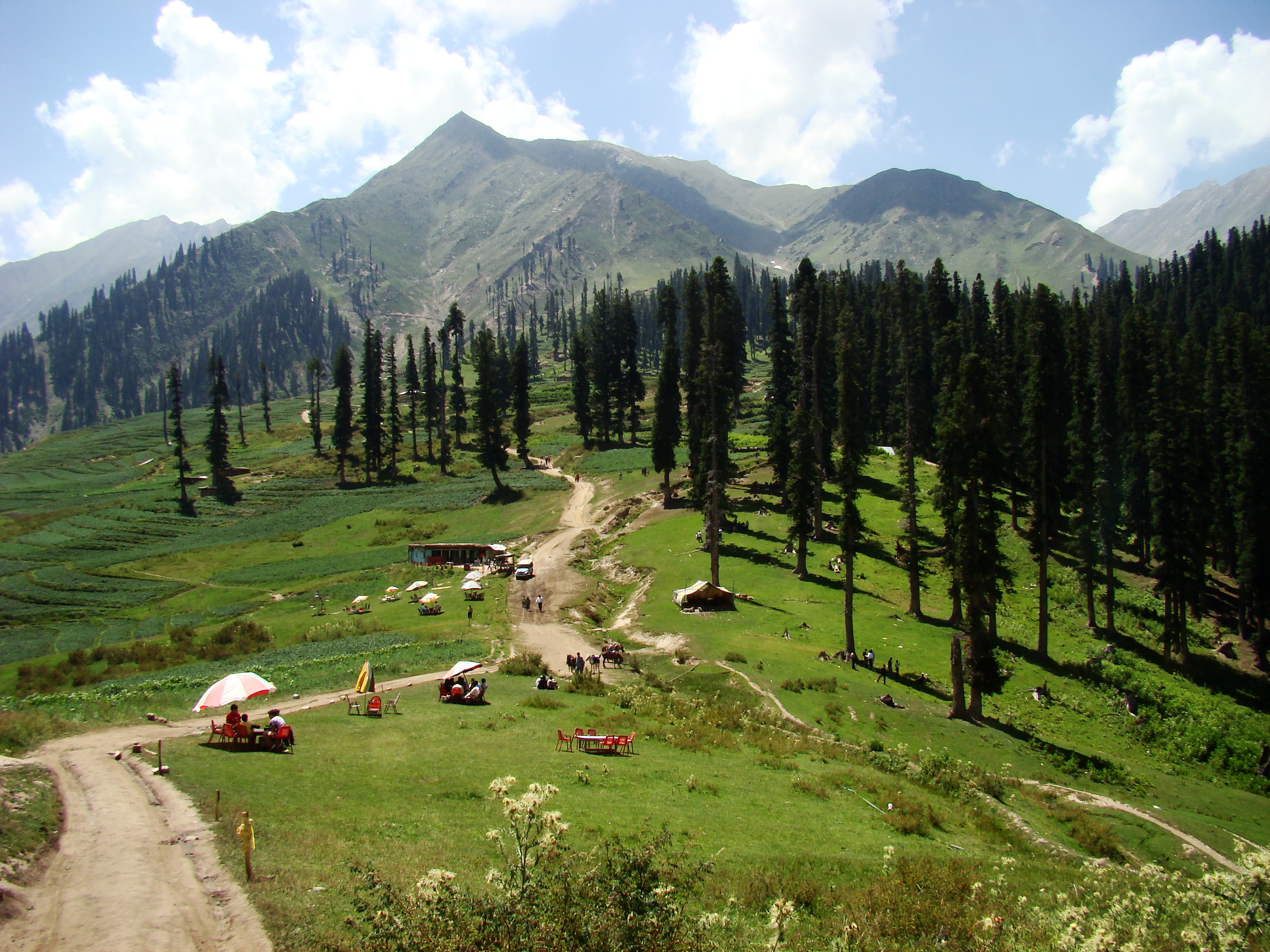
Kohistan District, also known as Indus Kohistan ( Kohistani: ) and Hazara Kohistan, was a district within the Hazara Division of Khyber Pakhtunkhwa, Pakistan. Consisting of eastern portion of the larger Kohistan region, it was bifurcated into two districts in 2014: Upper Kohistan and Lower Kohistan. In 2017, the Lower Kohistan District was further bifurcated and a district Kolai-Palas was established. It has an area of and a population of 472,570 according to the 1998 Census. Geographically, Kohistan stretched from Gilgit-Baltistan in the north to the Mansehra District in the east to the Battagram District and Shangla and Swat districts in the west. History The Kohistan region is mainly inhibited by the speakers of Dardic languages, commonly known as Kohistani people. Until 1st May 1934 Indus Kohistan was included in the Gilgit Agency, when its control was transferred to the North Western Frontier Province. However, its area continued to be counted in the total a ... [...More Info...] [...Related Items...] OR: [Wikipedia] [Google] [Baidu] |
Districts Of Pakistan
The districts of Pakistan () are the third-level administrative divisions of Pakistan, below administrative units of Pakistan, provinces and divisions of Pakistan, divisions, but forming the first-tier of local government in Pakistan, local government. In total, there are 169 districts in Pakistan, including 10 districts in list of districts in Azad Kashmir, Azad Kashmir and 14 districts in list of districts in Gilgit-Baltistan, Gilgit-Baltistan., excluding Islamabad Capital Territory. These districts are further divided into ''list of tehsils in Pakistan, tehsils and union councils of Pakistan, union councils''. History In 1947, when Pakistan gained independence there were 124 districts. In 1969, 2 new districts (Tangail and Patuakhali) in East Pakistan were formed, bringing the total to 126. With the Independence of Bangladesh, Pakistan lost 20 of its districts and so there were 106 districts. In 2001, the number was reduced to 102 by the merger of the 5 districts of Karach ... [...More Info...] [...Related Items...] OR: [Wikipedia] [Google] [Baidu] |
Battagram District
Battagram (, ) is a tribal Districts of Pakistan, district in Hazara Division of Khyber Pakhtunkhwa province in Pakistan. The headquarter is Battagram, which is about 75 km from Mansehra, Mansehra city. It was part of historic Yaghistan (Independent Territory) before 1955. Later in 1955, It was merged into Pakistan and made part of neighboring Mansehra District with the status of Tehsil. It was officially separated from Mansehra District in July 1993 and was given the status of district. Battagram District was ruled by many different Khans, all belonging to the Swati tribe. Overview and history The district of Battagram is located at a latitude of 34.41 and longitude of 73.1. It is surrounded by Kolai-Palas District, Kohistan District to the north, Mansehra District to the east, (Torghar District) to the south, and Shangla District to the west. It has a land area of . Battagram obtained the status of a district in July 1993, when it was upgraded from a Tehsil and separate ... [...More Info...] [...Related Items...] OR: [Wikipedia] [Google] [Baidu] |
Mansehra
Mansehra (Urdu, ) is a city in the Hazara Division of Khyber Pakhtunkhwa province, Pakistan. By population, it is the List of largest cities in Pakistan, 71st largest city in the country and the List of cities in Khyber Pakhtunkhwa by population, 7th largest in the province, and serves as the headquarter of its namesake Mansehra Tehsil, tehsil and Mansehra District, district. It was founded by a Sikh General Maan Singh. History Ancient period The region around the present-day city of Mansehra was inhabited by the Indo-Aryan migrations, early Indo-Aryans since the 3rd millennium BC, and was later a part of the ancient kingdom of Gandhara (kingdom), Gandhara and the Mauryan Empire. Ashoka governed this area as a prince on the Maurya Empire, imperial throne in 272 BCE. He made it one of the major seats of his government. The Edicts of Ashoka, inscribed on three large boulders near Mansehra record fourteen of Ashoka's edicts, presenting aspects of the emperor's ''dharma'' or righteo ... [...More Info...] [...Related Items...] OR: [Wikipedia] [Google] [Baidu] |
Kaghan Valley
The Kaghan Valley (Hindko, ) is an Alpine climate, alpine valley in Mansehra District of Khyber Pakhtunkhwa, Pakistan. The valley stretches across the northern Pakistan, rising from its lowest elevation of to its highest point at the Babusar Pass around . Furthermore, the highest mountain peak in the valley known as Malika Parbat ''()'', stands with a height of around . Landslides triggered by the devastating 2005 Kashmir earthquake destroyed many passes leading into the valley, though roads have since been rebuilt. Kaghan is a popular Tourism in Pakistan, tourist attraction in Pakistan. Geography The Kaghan Valley is located in the Hazara region of Pakistan, and borders the Pakistani-administered territories of Gilgit-Baltistan and Azad Kashmir to the north and east, respectively. From here, the Mansehra-Naran-Jalkhad (MNJ) Road leads to Gilgit Baltistan. The 155-kilometre-long valley is enveloped by the Lower Himalayan Range, Lower Himalayan mountain range, resulting in a ... [...More Info...] [...Related Items...] OR: [Wikipedia] [Google] [Baidu] |
Diamer District
Diamer District (), also spelled Diamir District, is a district of Pakistan-administered territory of Gilgit–Baltistan in the disputed Kashmir region. The application of the term "administered" to the various regions of Kashmir and a mention of the Kashmir dispute is supported by the WP:TERTIARY, tertiary sources (a) through (d), reflecting WP:DUE, due weight in the coverage. Although "controlled" and "held" are also applied neutrally to the names of the disputants or to the regions administered by them, as evidenced in sources (f) through (h) below, "held" is also considered politicized usage, as is the term "occupied," (see (i) below). (a) (subscription required) Quote: "Kashmir, region of the northwestern Indian subcontinent ... has been the subject of dispute between India and Pakistan since the partition of the Indian subcontinent in 1947. The northern and western portions are administered by Pakistan and comprise three areas: Azad Kashmir, Gilgit, and Baltistan, the last ... [...More Info...] [...Related Items...] OR: [Wikipedia] [Google] [Baidu] |
1961 Census Of India
The 1961 census of India was the tenth in a series of censuses held in India every decade since 1872. The population of India was counted as 438,936,918 people. Population by state Language data The 1961 census recognized 1,652 ''mother tongues'', counting all declarations made by any individual at the time when the census was conducted. However, the declaring individuals often mixed names of languages with those of dialects, sub-dialects and dialect clusters or even castes, professions, religions, localities, regions, countries and nationalities. The list therefore includes "languages" with barely a few individual speakers as well as 530 unclassified "mother tongues" and more than 100 idioms that are non-native to India, including linguistically unspecific demonyms such as "African", "Canadian" or "Belgian". Modifications were done by bringing in two additional components- place of birth i.e. village or town and duration of stay (if born elsewhere). See also *Demographics of ... [...More Info...] [...Related Items...] OR: [Wikipedia] [Google] [Baidu] |
Jammu And Kashmir (princely State)
Jammu and Kashmir, also known as Kashmir and Jammu, was a princely state in a subsidiary alliance with the Company rule in India, British East India Company from 1846 to 1858 and under the ''Suzerainty#British_paramountcy, paramountcy'' (or tutelage) of the The Crown, British Crown, from 1858 until the Partition of India in 1947, when it became a Kashmir#Kashmir_dispute, disputed territory, now administered by three countries: China, India, and Pakistan. Quote: "Kashmir, region of the northwestern Indian subcontinent. It is bounded by the Uygur Autonomous Region of Xinjiang to the northeast and the Tibet Autonomous Region to the east (both parts of China), by the Indian states of Himachal Pradesh and Punjab to the south, by Pakistan to the west, and by Afghanistan to the northwest. The northern and western portions are administered by Pakistan and comprise three areas: Azad Kashmir, Gilgit, and Baltistan, ... The southern and southeastern portions constitute the Indian state of ... [...More Info...] [...Related Items...] OR: [Wikipedia] [Google] [Baidu] |
North-West Frontier Province
The North-West Frontier Province (NWFP; ) was a province of British India from 1901 to 1947, of the Dominion of Pakistan from 1947 to 1955, and of the Pakistan, Islamic Republic of Pakistan from 1970 to 2010. It was established on 9 November 1901 from the north-western districts of the Punjab Province (British India), British Punjab, during the British Raj. Following the 1947 North-West Frontier Province referendum, referendum in 1947 to join either Pakistan or India, the province voted hugely in favour of joining Dominion of Pakistan, Pakistan and it acceded accordingly on 14 August 1947. It was dissolved to form a unified province of West Pakistan in 1955 upon promulgation of One Unit Scheme and was reestablished in Legal Framework Order, 1970, 1970. It was known by this name until 19 April 2010, when it was dissolved and redesignated as the province of Khyber Pakhtunkhwa following the enactment of the Eighteenth Amendment to the Constitution of Pakistan, Eighteenth Amendmen ... [...More Info...] [...Related Items...] OR: [Wikipedia] [Google] [Baidu] |
Gilgit Agency
The Gilgit Agency () was an agency within the British Indian Empire. It encompassed Hunza, Nagar and the governorships of Yasin, Koh Ghizer, Ishkoman, Punial and the tribal areas of Gor, Darel, Tangir, the district of Chilas and the Gilgit tehsil of the princely state of Jammu and Kashmir.The primary objective of establishing the Gilgit Agency was to bolster and fortify these regions, particularly in the context of concerns about Russian encroachment in the area. The agency headquarters was based in the town of Gilgit, within the Gilgit tehsil of Jammu and Kashmir. Gilgit Agency was bounded in the west by the Chitral State, in the northwest by Afghanistan's Wakhan corridor, in the east by Chinese Turkestan, in the south by the Kashmir province, and in the southeast by the Ladakh ''wazarat'' of Jammu and Kashmir (which included Baltistan). An Officer on Special Duty was established in 1877 in the town of Gilgit till 1882 to monitor the Baroghil and Ishkoman passes. After ... [...More Info...] [...Related Items...] OR: [Wikipedia] [Google] [Baidu] |
Indus Kohistani People
Indus Kohistanis are an Indo-Aryan ethnolinguistic group speaking the Indus Kohistani language. They mainly reside in Indus Kohistan, Hazara Division in northern Pakistan. History Kohistan is home to several ethnic groups Inhabiting the region of Indus Kohistan, Hazara Division. The Kohistani's like their neighbours in the Hazara Division formerly practised Hinduism and Buddhism, until the 15th century, when the Hazarewals started converting to Islam. '' A Glossary of the Tribes and Castes of the Punjab and North-West Frontier Province'' thus notes that their neighbours, "The Pathan Pashtuns (, , ; ;), also known as Pakhtuns, or Pathans, are an Iranic ethnic group primarily residing in southern and eastern Afghanistan and northwestern Pakistan. They were historically also referred to as Afghans until 1964 after the ...s call them, and all Muhammadis (صلى الله عليه وسلم) of Indian descent in the Hindu Kush valleys, Kohistanis." During the winter, ... [...More Info...] [...Related Items...] OR: [Wikipedia] [Google] [Baidu] |
Dardic Languages
The Dardic languages (also Dardu or Pisaca), or Hindu-Kush Indo-Aryan languages, are a group of several Indo-Aryan languages spoken in northern Pakistan, northwestern India and parts of northeastern Afghanistan. This region has sometimes been referred to as Dardistan. Rather than close linguistic or ethnic relationships, the original term Dardic was a geographical concept, denoting the northwesternmost group of Indo-Aryan languages. There is no ethnic unity among the speakers of these languages nor can the languages be traced to a single ancestor. After further research, the term "Eastern Dardic" is now a legitimate grouping of languages that excludes some languages in the Dardistan region that are now considered to be part of different language families. The extinct Gandhari language, used by the Gandhara civilization, from circa 1500 BCE, was Dardic in nature. Linguistic evidence has linked Gandhari with some living Dardic languages, particularly Torwali and other Kohistani ... [...More Info...] [...Related Items...] OR: [Wikipedia] [Google] [Baidu] |


