|
Guro District, Seoul
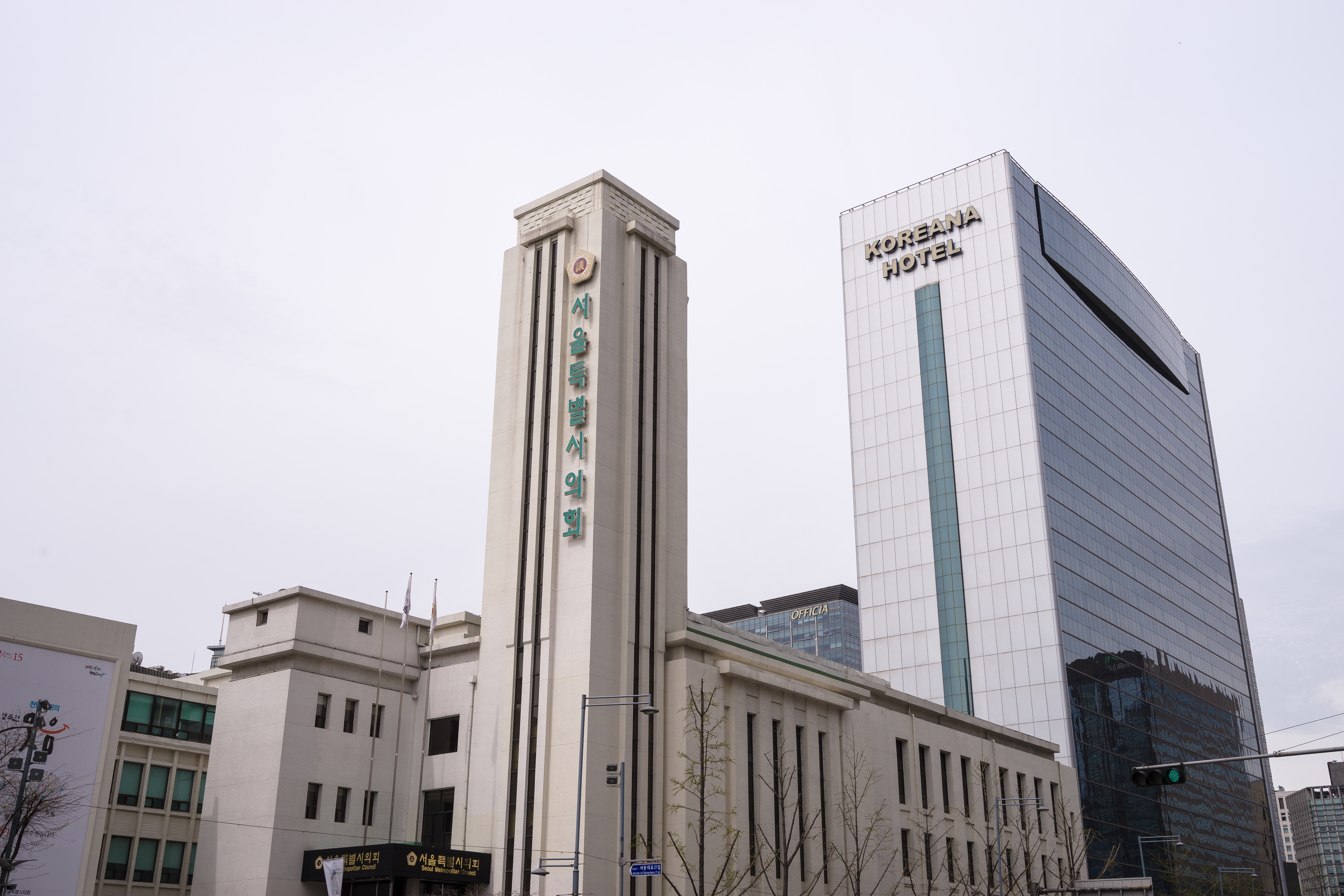
Guro District () is one of the 25 districts of Seoul, South Korea, which was separated from Yeongdeungpo District on April 1, 1980. Located in the southwestern part of the city, where besides Yangcheon District and Geumcheon District, Guro District has an important position as a transport link which contains railroads, land routes from the rest of Seoul to the south of the country. The Gyeongbu and Gyeongin railway lines connect Seoul to Busan and Incheon. In addition, Seoul Metropolitan Subway lines 1, 2, and 7, and major highways intersect in Guro District. The name Guro originates from the legend that nine () old men (Korean: ''ro'') enjoyed longevity in the district. A digital industrial complex is located in Guro District. The Guro Digital Industrial Complex, which played a leading industrial role mainly with textile manufacturing, dressmaking and other labour-intensive industries in 1967, has been rapidly changed into an IT industrial complex. This complex pla ... [...More Info...] [...Related Items...] OR: [Wikipedia] [Google] [Baidu] |
List Of Districts Of Seoul
The districts of Seoul are the twenty-five ''Administrative divisions of South Korea#Gu (District), gu'' (districts; ) comprising Seoul, South Korea. The ''gu'' vary greatly in area (from 10 to 47 km2) and population (from less than 140,000 to 630,000), fourteen of which are located north of the Han River (Korea), Han River, and eleven south. Songpa District is the most populated, while Seocho District has the largest area. Gu are similar to London's or New York City, New York's boroughs or Tokyo's Special Wards of Tokyo, 23 special wards. Each gu's government handles many of the functions that are handled by city governments in other jurisdictions. This city-like standing is underscored by the fact that each gu has its own legislative council, mayor and sister cities. Each ''gu'' is further divided into ''Dong (administrative division), dong'' or neighborhoods. Some ''gu'' have only a few ''dong'' while others (like Jongno District) have a very large number of distinct neighbo ... [...More Info...] [...Related Items...] OR: [Wikipedia] [Google] [Baidu] |
Korea Standard Time
South Korea has one time zone, Korea Standard Time (UTC+09:00, UTC+9), which is abbreviated KST. South Korea currently does not observe daylight saving time. From May 8 to October 9 in 1988, daylight saving time was tested to better accommodate the calendar of competitions held during the 1988 Summer Olympics in Seoul. History In 1434, inventor Jang Yeong-sil developed Korea's first automatic water clock, which Sejong the Great, King Sejong adapted as Korea's standard timekeeper. It is likely that Koreans used water clocks to keep time prior to this invention, but no concrete records of them exist. In 1437, Jang Yeong-sil, with Jeong Cho, created a bowl-shaped sundial called the ''angbu ilgu'' (), which King Sejong had placed in public so anyone could use it. In 1908, the Korean Empire adopted a standard time, GMT+08:30. In 1912, during the Korea under Japanese rule, Japanese occupation of Korea, the Governor-General of Korea changed standard time to GMT+09:00 to align with Ja ... [...More Info...] [...Related Items...] OR: [Wikipedia] [Google] [Baidu] |
E-government
E-government (known for electronic government) involves utilizing technology devices, such as computers and the Internet, for faster means of delivering public services to citizens and other persons in a country or region. E-government offers new opportunities for more direct and convenient citizen access to government and for government provision of services directly to citizens. E- government involves digital interactions across various levels and stakeholders (C2G), between governments and other government agencies (G2G), between government and citizens (G2C), between government and employees (G2E), and between government and businesses/commerces (G2B). E-government delivery models can be broken down into the following categories:Jeong Chun Hai @Ibrahim. (2007). ''Fundamental of Development Administration.'' Selangor: Scholar Press. This interaction consists of citizens communicating with all levels of government (city, state/province, national, and international), facil ... [...More Info...] [...Related Items...] OR: [Wikipedia] [Google] [Baidu] |
Green Belt
A green belt or greenbelt is a policy, and land-use zone designation used in land-use planning to retain areas of largely undeveloped, wilderness, wild, or agricultural landscape, land surrounding or neighboring urban areas. Similar concepts are greenway (landscape), greenways or green wedges, which have a linear character and may run through an urban area instead of around it. In essence, a green belt is an invisible line designating a border around a certain area, preventing development of the area and allowing wildlife to return and be established. The more general term in the United States is green space or greenspace, which may be a very small area such as a park. Purposes In those countries which have them, the stated objectives of green belt policy are to: * Protect natural or semi-natural environments; * Improve air quality within urban area, urban areas; * Ensure that urban dwellers have access to the countryside, with consequent educational and recreational opportu ... [...More Info...] [...Related Items...] OR: [Wikipedia] [Google] [Baidu] |
Miracle On The Han River
The Miracle on the Han River () was the period of rapid economic growth in South Korea, following the Korean War (1950–1953), during which South Korea transformed from one of the least developed countries into a highly developed country. The rapid reconstruction and development of the South Korean economy during the latter half of the 20th century was accompanied by events such as the country's hosting of the 1988 Summer Olympics and its co-hosting of the 2002 FIFA World Cup, as well as the ascension of family-owned conglomerates known as chaebols, such as Samsung, LG, and Hyundai Group, Hyundai. This growth also encompassed declines in child mortality and increases in life expectancy. South Korea during this period has been described as "corporatist" or as practicing state capitalism. This period of growth was overseen by the Democratic Republican Party (South Korea), Democratic Republican Party (DRP),Kohli, A. (2004). ''State-Directed Development: Political Power and Industr ... [...More Info...] [...Related Items...] OR: [Wikipedia] [Google] [Baidu] |
Textile Manufacturing
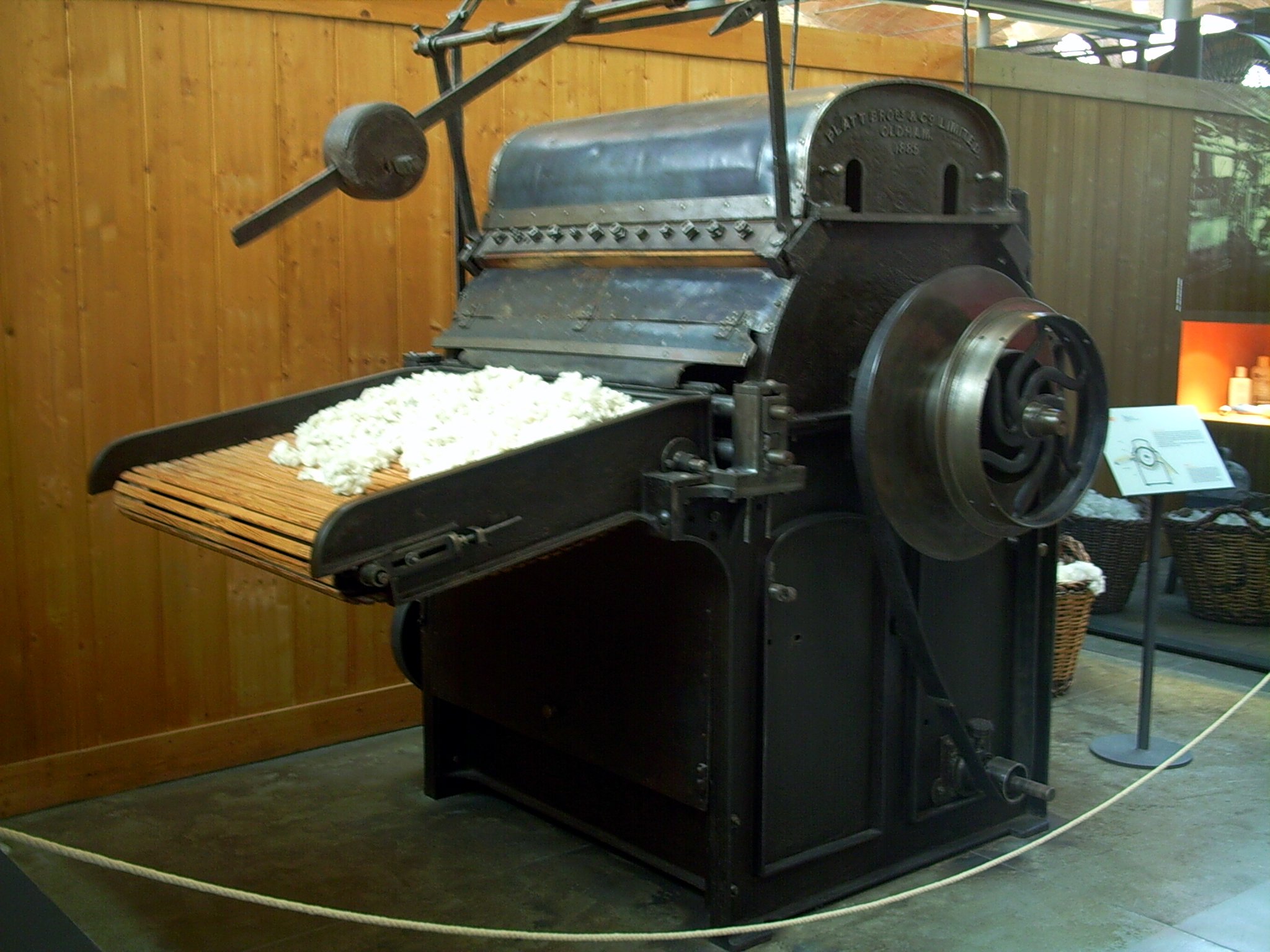
Textile manufacturing or textile engineering is a major industry. It is largely based on the conversion of fibre into yarn, then yarn into fabric. These are then dyed or printed, fabricated into cloth which is then converted into useful goods such as clothing, household items, upholstery and various industrial products. Different types of fibres are used to produce yarn. Cotton remains the most widely used and common natural fiber making up 90% of all-natural fibers used in the textile industry. People often use cotton clothing and accessories because of comfort, not limited to different weathers. There are many variable processes available at the spinning and fabric-forming stages coupled with the complexities of the finishing and colouration processes to the production of a wide range of products. History Textile manufacturing in the modern era is an evolved form of the art and craft industries. Until the 18th and 19th centuries, the textile industry was a household work ... [...More Info...] [...Related Items...] OR: [Wikipedia] [Google] [Baidu] |
Seoul Subway Line 7
Seoul Subway Line 7 of the Seoul Metropolitan Subway was built from 1990 to 1996 (Jangam- Konkuk Univ.) and was completed on August 1, 2000 (central section . Konkuk University to Sinpung); the western section between Sinpung and Onsu was put into service on February 29, 2000. This north-south line does not run through the city centre but links Gangnam directly to the northeastern districts of Seoul. In 2019, Line 7 had an annual ridership of 380 million or 1.04 million passengers per day. Although most trains run between Jangam and Seongnam, some trains short turn at Onsu station and some trains start at Dobongsan station. All trains on Line 7 are monitored by 1,008 closed-circuit television cameras that were installed in June 2012. The extension to Incheon Subway Line 1 was designed to relieve the traffic congestion in western Seoul and northern Incheon. Nine stations were added on October 27, 2012, for the extension, starting from Onsu Station of Line 7 and ending at ... [...More Info...] [...Related Items...] OR: [Wikipedia] [Google] [Baidu] |
Seoul Subway Line 2
Seoul Subway Line 2 (), also known as the Circle Line, is a orbital (metro), circular line of the Seoul Metropolitan Subway. The line running clockwise is called the "inner circle line" and the counter-clockwise line is called the "outer circle line". This is Seoul's most heavily used line, and consists of the main loop (), the Seongsu Branch () and the Sinjeong Branch () for a total line length of . The Line 2 loop is the third longest subway loop in the world after Moscow Metro Bolshaya Koltsevaya line and Beijing Subway Line 10, Beijing Subway, Line 10. In 2019, Line 2 had an annual ridership of 812 million passengers or 2.2 million passengers per day. Headways on the line vary from 2 minutes 18 seconds on peak periods and 5–6 minutes off-peak periods. The line connects the city centre to Gangnam (Seoul), Gangnam, Teheranno, Teheran Valley and the COEX/KWTC complex. History In 1972, then-Mayor of Seoul (1932–1996) changed the existing plans for the Seoul Subway to ... [...More Info...] [...Related Items...] OR: [Wikipedia] [Google] [Baidu] |
Seoul Subway Line 1
Seoul Subway Line 1 (dubbed ''The Dark Blue Line'') of the Seoul Metropolitan Subway is a rapid transit and commuter rail line which links central Seoul, South Korea to Yeoncheon station, Yeoncheon in the northeast, Incheon in the southwest, and Sinchang station, Sinchang via Suwon and Cheonan in the south. The central underground portion of Line 1, running underneath Sejongno, Jongno, and Wangsan-ro avenues along Seoul's traditional downtown area, is the oldest subway-operated section in the Seoul Metropolitan Subway system. Its branches and services cover a large part of the Seoul Metropolitan Area; totaling in route length. The underground section between Seoul station and Cheongnyangni station, which is referred to as Seoul Metro Line 1 () after its operator, is currently operated by Seoul Metro, and is Railway electrification, electrified at the subway standard of 1.5 kV DC. The line first opened in 1974 as the Korean National Railroad of Seoul with Through train, through ... [...More Info...] [...Related Items...] OR: [Wikipedia] [Google] [Baidu] |
Seoul Metropolitan Subway
The Seoul Metropolitan Subway () is a urban rail transit, metropolitan railway system consisting of 23 rapid transit, Medium-capacity rail transport system, light metro, commuter rail and people mover lines located in northwest South Korea. The system serves most of the Seoul Metropolitan Area including the Incheon metropolis and satellite cities in Gyeonggi Province, Gyeonggi province. Some Regional rail, regional lines in the network stretch out beyond the Seoul Metropolitan Area to rural areas in northern Chungnam, Chungnam province and western Gangwon Province, South Korea, Gangwon Province, that lie over away from the capital. The network consists of multiple systems that form a larger, coherent system. These being the Seoul Metro proper, consisting of Seoul Metro lines 1 through 9 and certain light rail lines, that serves Seoul city proper and its surroundings; Korail regional rail lines, which serve the greater metropolitan region and beyond; Incheon Subway, Incheon Me ... [...More Info...] [...Related Items...] OR: [Wikipedia] [Google] [Baidu] |
Incheon
Incheon is a city located in northwestern South Korea, bordering Seoul and Gyeonggi Province to the east. Inhabited since the Neolithic, Incheon was home to just 4,700 people when it became an international port in 1883. As of February 2020, about 3 million people live in the city, making it South Korea's third-most-populous city after Seoul and Busan. The city's growth has been assured in modern times with the development of its port due to its natural advantages as a coastal city and its proximity to the South Korean capital. It is part of the Seoul Metropolitan Area, along with Seoul itself and Gyeonggi Province, forming the world's fourth-largest List of metropolitan areas by population, metropolitan area by population. Incheon has since led the economic development of South Korea by opening its port to the outside world, ushering in the modernization of South Korea as a center of industrialization. In 2003, the city was designated as South Korea's first free economic zon ... [...More Info...] [...Related Items...] OR: [Wikipedia] [Google] [Baidu] |
Busan
Busan (), officially Busan Metropolitan City, is South Korea's second list of cities in South Korea by population, most populous city after Seoul, with a population of over 3.3 million as of 2024. Formerly romanized as Pusan, it is the economic, cultural and educational center of southeastern South Korea, with its port being South Korea's busiest and the sixth-busiest in the world. The surrounding "Southeastern Maritime Industrial Region" (including Ulsan, South Gyeongsang Province, South Gyeongsang, Daegu, and part of North Gyeongsang Province, North Gyeongsang and South Jeolla Province, South Jeolla) is South Korea's largest industrial area. The large volumes of port traffic and urban population in excess of 1 million make Busan a Large-Port metropolis using the Southampton System of Port-City classification. As of 2019, Busan Port is the primary port in Korea and the world's sixth-largest container port. Busan is divided into 15 major administrative districts and a single co ... [...More Info...] [...Related Items...] OR: [Wikipedia] [Google] [Baidu] |


