|
Deerfield, Illinois
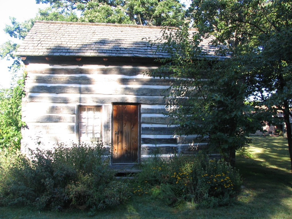
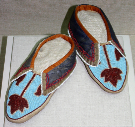
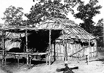
Deerfield is a village in Lake County, Illinois, Lake and Cook County, Illinois, Cook counties in the U.S. state of Illinois. A northern Chicago metropolitan area, suburb of Chicago, Deerfield is located on the North Shore (Chicago), North Shore, about north of Chicago Loop, downtown Chicago. The population was 19,196 at the 2020 United States census, 2020 census. Deerfield is home to the headquarters of Walgreens Boots Alliance, Baxter Healthcare, and Fortune Brands Home & Security. Deerfield is often listed among the wealthiest and highest-earning places in Illinois and the Midwest. According to the United States Census Bureau, the median household income in Deerfield was $185,762 in 2022. History Beginnings Originally populated by the Bodéwadmiakiwen (Potawatomi), Myaamia (Miami people, Miami), Kiikaapoi (Kickapoo people, Kickapoo), and Peoria people, Peoria Native Americans, the area was settled by Horace Lamb and Jacob B. Cadwell in 1835 and named Cadwell's Corner. A sh ... [...More Info...] [...Related Items...] OR: [Wikipedia] [Google] [Baidu] |
List Of Towns And Villages In Illinois
Illinois is a U.S. state, state located in the Midwestern United States. According to the 2020 United States census, Illinois is the List of U.S. states and territories by population, 6th most populous state with inhabitants but the List of U.S. states and territories by area, 24th largest by land area spanning of land. Illinois is divided into 102 County (United States), counties and, as of 2020, contained 1,300 Municipal corporation, municipalities consisting of cities, towns, and villages. The most populous city is Chicago with 2,746,388 residents while the least populous is Valley City, Illinois, Valley City with 14 residents. The largest municipality by land area is Chicago, which spans , while the smallest is Irwin, Illinois, Irwin at . List File:ChicagoFromCellularField.jpg, alt=Skyline of Chicago, Chicago is Illinois' most populous municipality. File:Paramount Theatre - panoramio.jpg, alt=Paramount Theatre, Aurora, Paramount Theatre in Aurora, Illinois, Aurora, Illi ... [...More Info...] [...Related Items...] OR: [Wikipedia] [Google] [Baidu] |
United States Census Bureau
The United States Census Bureau, officially the Bureau of the Census, is a principal agency of the Federal statistical system, U.S. federal statistical system, responsible for producing data about the American people and American economy, economy. The U.S. Census Bureau is part of the United States Department of Commerce, U.S. Department of Commerce and its Director of the United States Census Bureau, director is appointed by the president of the United States. Currently, Ron S. Jarmin is the acting director of the U.S. Census Bureau. The Census Bureau's primary mission is conducting the United States census, U.S. census every ten years, which allocates the seats of the United States House of Representatives, U.S. House of Representatives to the U.S. state, states based on their population. The bureau's various censuses and surveys help allocate over $675 billion in federal funds every year and it assists states, local communities, and businesses in making informed decisions. T ... [...More Info...] [...Related Items...] OR: [Wikipedia] [Google] [Baidu] |
Thomas Tallmadge
Thomas Eddy Tallmadge (April 24, 1876 – January 1, 1940) was an American architect, best known for his Prairie School works with Vernon S. Watson as Tallmadge & Watson. Early life and education Tallmadge was born in Washington, D.C., on April 24, 1876. He was raised in the Chicago suburb of Evanston, and graduated from Evanston Township High School. He attended the Massachusetts Institute of Technology, where he graduated in 1898 with a bachelor's degree in architecture. He returned to Chicago to study under Daniel H. Burnham, one of the city's most prominent architects. While working for Burnham, Tallmadge received a scholarship from the Chicago Architectural Club for his work "A Crèche in a Manufacturing District". He used the scholarship to travel through Europe. Career Upon his return in 1905, Tallmadge decided to start his own architectural firm with fellow Burnham draftsman Vernon S. Watson. Although Watson was the chief designer, Tallmadge became the face of the fi ... [...More Info...] [...Related Items...] OR: [Wikipedia] [Google] [Baidu] |
Underground Railroad
The Underground Railroad was an organized network of secret routes and safe houses used by freedom seekers to escape to the abolitionist Northern United States and Eastern Canada. Enslaved Africans and African Americans escaped from slavery as early as the 16th century and many of their escapes were unaided. However, a network of safe houses generally known as the Underground Railroad began to organize in the 1780s among Abolitionist Societies in the North. It ran north and grew steadily until the Emancipation Proclamation was signed in 1863 by President Abraham Lincoln.Vox, Lisa"How Did Slaves Resist Slavery?", ''African-American History'', About.com. Retrieved July 17, 2011. The escapees sought primarily to escape into free states, and potentially from there to Canada. The network, primarily the work of free and enslaved African Americans, was assisted by abolitionists and others sympathetic to the cause of the escapees. The enslaved people who risked capture and thos ... [...More Info...] [...Related Items...] OR: [Wikipedia] [Google] [Baidu] |
Chicago River
The Chicago River is a system of rivers and canals with a combined length of that runs through the city of Chicago, including its center (the Chicago Loop). The river is one of the reasons for Chicago's geographic importance: the related Chicago Portage is a link between the Great Lakes and the Mississippi Valley, Mississippi River Basin, and ultimately the Gulf of Mexico. In 1887, the Illinois General Assembly decided to reverse the flow of the Chicago River through civil engineering by taking water from Lake Michigan and discharging it into the Mississippi River watershed, partly in response to concerns created by an extreme weather event in 1885 that threatened the city's water supply. In 1889, the state created the Chicago Sanitary District (now the Metropolitan Water Reclamation District of Greater Chicago, Metropolitan Water Reclamation District) to replace the Illinois and Michigan Canal with the Chicago Sanitary and Ship Canal, a much larger waterway, because the forme ... [...More Info...] [...Related Items...] OR: [Wikipedia] [Google] [Baidu] |
Des Plaines River
The Des Plaines River ( ) is a river that flows southward for U.S. Geological Survey. National Hydrography Dataset high-resolution flowline dataThe National Map , accessed May 13, 2011 through southern Wisconsin and northern Illinois''American Heritage Dictionary of the English Language,'' Fourth Edition in the United States US Midwest, Midwest, eventually meeting the Kankakee River west of Channahon, Illinois, Channahon to form the Illinois River, a tributary of the Mississippi River. Native Americans used the river as transportation route and portage. When French explorers and missionaries arrived in the 1600s, in what was then the Illinois Country of New France, they named the waterway ''La Rivière des Plaines'' (River of the Plains). The local Native Americans showed these early European explorers how to traverse waterways of the Des Plaines watershed to travel from Lake Michigan to the Mississippi River and its Mississippi Valley, valley. Parts of the river are now part ... [...More Info...] [...Related Items...] OR: [Wikipedia] [Google] [Baidu] |
Lake Cook Road
Lake Cook Road (alternatively referred to as County Line Road or Main Street in some areas) is a major east–west highway in Cook, Lake, McHenry, and Kane Counties in Illinois. For much of its length, it marks the border between Cook and Lake Counties, hence the name of the road. In its western stretch, it marks the border between McHenry and Cook Counties, and further west, McHenry and Kane Counties. The road is approximately in length, from its western terminus at Illinois Route 62 in Algonquin to its eastern terminus at Sheridan Road in Highland Park and Glencoe, near Lake Michigan. The road is notable for its cross-section of Chicago's northern suburbs, balancing densely developed commercial, industrial, and residential land uses, with open space areas such as forest preserves, parks, golf courses, creeks, rivers, gardens, and Lake Michigan. Municipalities served Lake Cook Road goes through, or runs adjacent to, sections of the following municipalities from west t ... [...More Info...] [...Related Items...] OR: [Wikipedia] [Google] [Baidu] |
Illinois Route 43
Illinois Route 43 (IL 43) is a major north–south state highway in the U.S. state of Illinois. It runs from U.S. Route 30 (US 30) in Frankfort north to the large intersection of IL 120 (Belvidere Road) and US 41 ( Skokie Highway) in Waukegan. Route description IL 43 is called Waukegan Road for the first until its intersection with Oakton Street in Niles; it then follows that road west one block until it turns back south and remains Harlem Avenue for the duration. When IL 50 begins in Skokie and IL 171 begins in Chicago, it parallels those routes for much of the rest of its length. It enters, exits, and runs parallel to Chicago limits several times, passing through or parallel to Edison Park, Norwood Park, Dunning, Montclare, and Austin on the Northwest Side then Garfield Ridge and Clearing on the Southwest Side. Listed as 7200 West in the Chicago address system, it is one of seven state roads that travel through the city of Chicago. H ... [...More Info...] [...Related Items...] OR: [Wikipedia] [Google] [Baidu] |
Peoria People
The Peoria are a Native Americans of the United States, Native American people. They are enrolled in the Federally recognized tribes, federally recognized Peoria Tribe of Indians of Oklahoma headquartered in Miami, Oklahoma. The Peoria people are the remnants of the nations which constituted the Illinois Confederation. The Peoria Tribe were located east of the Mississippi River and north of the Ohio River. In the colonial period, they traded with French colonists in that territory. After 1763, when the British took over those lands following victory in the Seven Years' War, the Peoria were moved west across the Mississippi. In 1867 their descendants moved to Indian Territory with remnants of related tribes and were assigned land in present-day Ottawa County, Oklahoma. The land which they were assigned belonged to the Quapaw, who were made to cede this land for the Peoria and Miami. Language and name The Peoria speak a dialect of the Miami–Illinois language, a Central Algonq ... [...More Info...] [...Related Items...] OR: [Wikipedia] [Google] [Baidu] |
Kickapoo People
The Kickapoo people (; Kickapoo language, Kickapoo: Kiikaapoa or Kiikaapoi; ) are an Algonquian languages, Algonquian-speaking Native Americans in the United States, Native American tribe and Indigenous people in Mexico, originating in the region south of the Great Lakes. There are three Federally recognized tribe, federally recognized Kickapoo tribes in the United States: the Kickapoo Tribe in Kansas, the Kickapoo Tribe of Oklahoma, and the Kickapoo Traditional Tribe of Texas. The Oklahoma and Texas bands are politically associated with each other. The Kickapoo in Kansas came from a relocation from southern Missouri in 1832 as a land exchange from their reserve there. Around 3,000 people are enrolled tribal members. Another band, the Mexican Kickapoo, Tribu Kikapú, resides in Múzquiz Municipality in the northern Mexico, Mexican state of Coahuila, ending up there after disputes between leaders of rival bands in the tribe caused a schism between followers of the "Kickapoo Prophe ... [...More Info...] [...Related Items...] OR: [Wikipedia] [Google] [Baidu] |
Miami People
The Miami ( Miami–Illinois: ''Myaamiaki'') are a Native American nation originally speaking the Miami–Illinois language, one of the Algonquian languages. Among the peoples known as the Great Lakes tribes, they occupied territory that is now identified as north-central Indiana, southwest Michigan, and western Ohio. The Miami were historically made up of several prominent subgroups, including the Piankeshaw, Wea, Pepikokia, Kilatika, Mengakonkia, and Atchakangouen. In modern times, Miami is used more specifically to refer to the Atchakangouen. By 1846, most of the Miami had been forcefully displaced to Indian Territory (initially to what is now Kansas, and later to what is now part of Oklahoma). The Miami Tribe of Oklahoma are the federally recognized tribe of Miami Indians in the United States. The Miami Nation of Indiana, a nonprofit organization of self-identified descendants of Miamis who were exempted from removal, have unsuccessfully sought separate recognition. Nam ... [...More Info...] [...Related Items...] OR: [Wikipedia] [Google] [Baidu] |
Potawatomi
The Potawatomi (), also spelled Pottawatomi and Pottawatomie (among many variations), are a Native American tribe of the Great Plains, upper Mississippi River, and western Great Lakes region. They traditionally speak the Potawatomi language, a member of the Algonquian family. They are additionally First Nations in Canada. The Potawatomi call themselves ''Neshnabé'', a cognate of the word ''Anishinaabe''. The Potawatomi are part of a long-term alliance, called the Council of Three Fires, with the Ojibwe and Odawa (Ottawa). In the Council of Three Fires, the Potawatomi are considered the "youngest brother". Their people are referred to in this context as ''Bodéwadmi'', a name that means "keepers of the fire" and refers to the council fire of three peoples. In the 19th century, some bands of Potawatomi were pushed to the west by European/American encroachment. In the 1830s the federal government removed most from their lands east of the Mississippi River to Indian Territo ... [...More Info...] [...Related Items...] OR: [Wikipedia] [Google] [Baidu] |


