|
2012 In Romania
Events from the year 2012 in Romania. Incumbents *President: Traian Băsescu *Prime Minister: Emil Boc (until February); Mihai Răzvan Ungureanu (until April); Victor Ponta (since April) Events January *January 12: Protests against President Traian Băsescu and government begin with over 3,500 people attending the revolt in Bucharest and thousands others protesting in additional cities, like Timișoara, Cluj-Napoca, Constanța or Iași. Following these street demonstrations, over 60 people were injured and other 240 citizens were arrested by the Romanian Gendarmerie. *January 24: A violent blizzard ravages Romania, killing 86 people. The lowest temperature in recent decades, , was recorded this winter at Întorsura Buzăului, in Covasna County. February *February 6: Prime Minister Emil Boc resigned from office amid ongoing anti-austerity protests. Mihai Răzvan Ungureanu was given a mandate by President Traian Băsescu to form a new government. He will have to pass his fo ... [...More Info...] [...Related Items...] OR: [Wikipedia] [Google] [Baidu] |
Întorsura Buzăului
Întorsura Buzăului ( ) is a town in Covasna County, Transylvania, Romania. It administers three villages: Brădet (''Bredét''), Floroaia (''Virágospatak''), and Scrădoasa. Geography The town is located in the southern part of the county, on the border with Brașov County, and lies on the left bank of the Buzău River. The town's name means ''Buzău's Turning'' in Romanian; it gets its name from being located near a large turn that the river takes. The river initially flows northwards, but takes a sudden turn towards the south-east near the town. Întorsura Buzăului is located at altitude, in a depression, surrounded by the , Ciucaș, and mountains. Due to its location, the town registers the lowest temperatures in Romania every year. The town is some southeast of the county seat, Sfântu Gheorghe, and south of Covasna. It is traversed by national road DN10, which links Brașov to Buzău. This road passes through the Carpathian Mountains and for most of its length ... [...More Info...] [...Related Items...] OR: [Wikipedia] [Google] [Baidu] |
Tulcea County
Tulcea County () is a county (județ) of Romania, in the historical region Dobruja, with the capital city at Tulcea. It includes in its northeast corner the large and thinly-populated estuary of the Danube. Demographics In 2021, Tulcea County had a population of 193,355. The population density was 22.8/km2, the lowest among the counties of Romania, due to the inclusion within the area of the lowly-populated Danube estuarial wetlands. * Romanians - 79.18% * Lipovans - 4.14% * Romani people, Roma - 2.05% * Turkish people, Turks - 0.51% * Ukrainian people, Ukrainians - 0.47% * Greek people, Greeks - 0.14% * Tatar people, Tatars - 0.05% * Bulgarian people, Bulgarians - 0.02% In the Danube Delta there is an important community of Russians and Lipovans. In the south of the county there are communities of Turkish people, Turks. The region once was a centre of Islam in Romania. Geography The county has a total area of . The most significant feature of Tulcea County is the ... [...More Info...] [...Related Items...] OR: [Wikipedia] [Google] [Baidu] |
Ostrov, Tulcea
Ostrov is a commune in Tulcea County, Northern Dobruja, Romania. It is composed of two villages, Ostrov and Piatra. It is the site of the Roman fort ''Beroe'' in the Roman province of Moesia and part of the defensive frontier system of the Limes Moesiae The Moesian Limes () is the modern term given to a linked series of Roman forts on the northern frontier of the Roman province of Moesia along the Danube between the Black Sea shore and Pannonia (present-day Hungary) and dating from the 1st cen ... along the Danube.Nicolae Buzgar, Raman study of the brownish-yellow pigment from a Roman Basilica (Dobrogea, Romania – 4th – 6th century A.D.), Analele Stiintifice ale Universitatii “Al. I. Cuza” din Iasi, Seria Geologie 57 (2) (2011) 15–18 http://geology.uaic.ro/auig/ The Beroe archaeological site is on the bank of the branch of the Danube River, 3 km south of Ostrov village. The first historical reference related to the fortress dates to the 2 century AD, the fort being ... [...More Info...] [...Related Items...] OR: [Wikipedia] [Google] [Baidu] |
Vrancea County
Vrancea () is a county (județ) in Romania, with its seat at Focșani. It is mostly in the historical region of Moldavia but the southern part, below the Milcov (Siret), Milcov River, is in Muntenia. Demographics At the 2021 Romanian census, 2021 census, the county had a population of 335,312 and a population density of . * Romanians – over 98% * Romani people in Romania, Romani, Minorities of Romania, others – 2%. Geography Vrancea County covers an area of . A curvedly shaped mountainous area, known in Romanian as the ''Sub Carpathians, Carpații de Curbură'', lies in the western part of the county, at the Southern end of the Eastern Carpathians, with heights over . To the East, the heights decrease into hilly areas and the lower valley of the Siret (river), Siret River. The main tributary of the Siret, which crosses the county, is the Putna (Siret), Putna River. A right tributary of the Putna is the Milcov (Siret), Milcov, a river that divides Moldavia from Munteni ... [...More Info...] [...Related Items...] OR: [Wikipedia] [Google] [Baidu] |
Spulber
Spulber is a commune located in Vrancea County, Romania. It is composed of seven villages: Carșochești-Corăbița, Morărești, Păvălari, Spulber, Tojanii de Jos, Tojanii de Sus and Țipău. These were part of Paltin The PAL-TIN (Participarea TINerilor la Administrarea Locala, translated as Youth Participation in Local Government) Project is a large network of local youth and children’s councils throughout Romania. PAL-TIN (acronym commonly shortened to PALT ... Commune until 2005, when they were split off. Geographical positioning The commune is situated along the river Zăbala (Putna), Zăbala, with some villages being spread on the surrounding hills and valleys. The Tojan mountain is situated on the eastern bank of the river, as well as the old local church. Spulber is situated on road DJ 205 D and has Nereju to the south and Paltin to the north. Economy The chief economic activity is agriculture, with fruit orchards, meadows and animal breeding as the main activities. ... [...More Info...] [...Related Items...] OR: [Wikipedia] [Google] [Baidu] |
Nereju
Nereju is a commune located in Vrancea County, Romania. It is composed of five villages: Brădăcești, Chiricani (or ''Chiricari''), Nereju, Nereju Mic, and Sahastru. Nereju, Nereju Mic, and Brădăcești lie along the Zăbala River, while Chiricani and Sahastru are situated on the surrounding hills and valleys. History 2020 Earthquake On January 31, 2020, a magnitude 4.8 earthquake struck 5 kilometers WNW of the town. The official time of the earthquake was 01:26:47 (UTC). Economy Main economic activities are in the wood industry (the surrounding hills are rich in coniferous forests), mountainous ecological agriculture, mountainous tourism, folk arts and traditions. Tourism Main touristic sights are: *Lacul Negru – a natural lake, with an area of , depth , and situated at an altitude of *Mountainous areas Dealul Negru (Black Hill) and Lapoș, at an altitude of *Căldările Zăbalei (Zăbala's Buckets) – a protected area, along the Zăbala River's course '' ... [...More Info...] [...Related Items...] OR: [Wikipedia] [Google] [Baidu] |
Prahova County
Prahova County () is a county (județ) of Romania, in the Historical regions of Romania, historical region Muntenia, with the capital city at Ploiești. Demographics In 2011, it had a population of 762,886 and the population density was 161/km2. It is Romania's third most populated county (after the Municipality of Bucharest and Iași County), having a population density double that of the country's mean. * Romanians - 97.74% * Romani people in Romania, Romas and Minorities of Romania, others - 2.26% The county received an inflow of population who have moved here due to the industrial development. Geography This county has a total area of 4,716 km2. The relief is split in approximately equal parts between the mountains, the hills and the plain. In the North side there are mountains from the southern end of the Eastern Carpathians - the Curvature Carpathians group; and the Bucegi Mountains the Eastern end of the Southern Carpathians group. The two groups are separated ... [...More Info...] [...Related Items...] OR: [Wikipedia] [Google] [Baidu] |
Ploiești
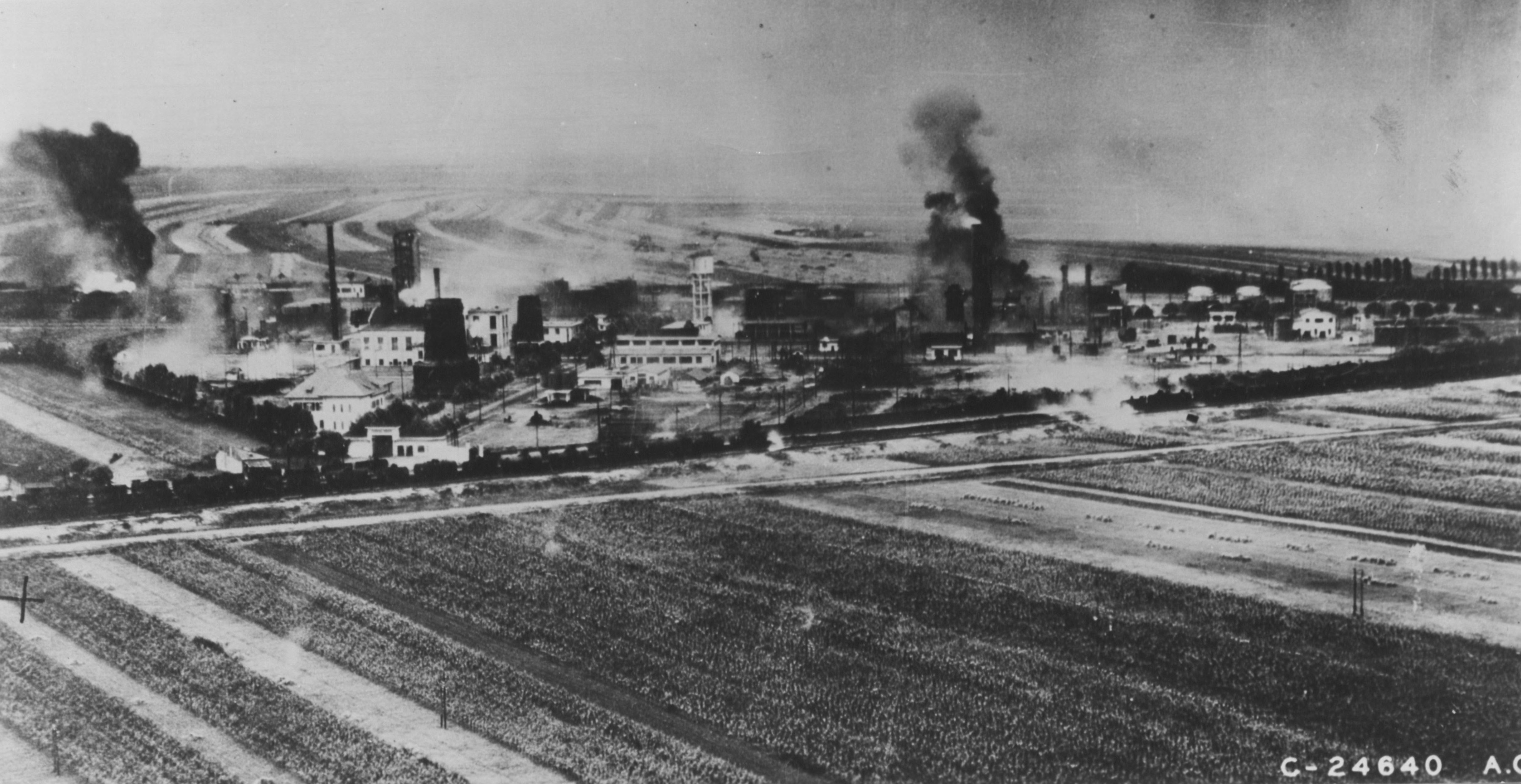
Ploiești ( , , ), formerly spelled Ploești, is a Municipiu, city and county seat in Prahova County, Romania. Part of the historical region of Muntenia, it is located north of Bucharest. The area of Ploiești is around , and it borders the Blejoi commune in the north, Bărcănești, Prahova, Bărcănești and Brazi communes in the south, Târgșoru Vechi commune in the west, and Bucov and Berceni, Prahova, Berceni communes in the east. According to the 2021 Romanian census, 2021 census, Ploiești is the List of cities and towns in Romania, tenth most populous city in the country with a population of 180,540. The city grew beginning with the 17th century on an estate bought by ruler Michael the Brave from the local landlords, gradually replacing nearby Wallachian fairs of Târgșor, Gherghița, and Bucov. Its development was accelerated by heavy industrialisation during the mid-19th century, with the world's first large-scale oil refinery, petroleum refinery being opened between ... [...More Info...] [...Related Items...] OR: [Wikipedia] [Google] [Baidu] |
Petrobrazi Refinery
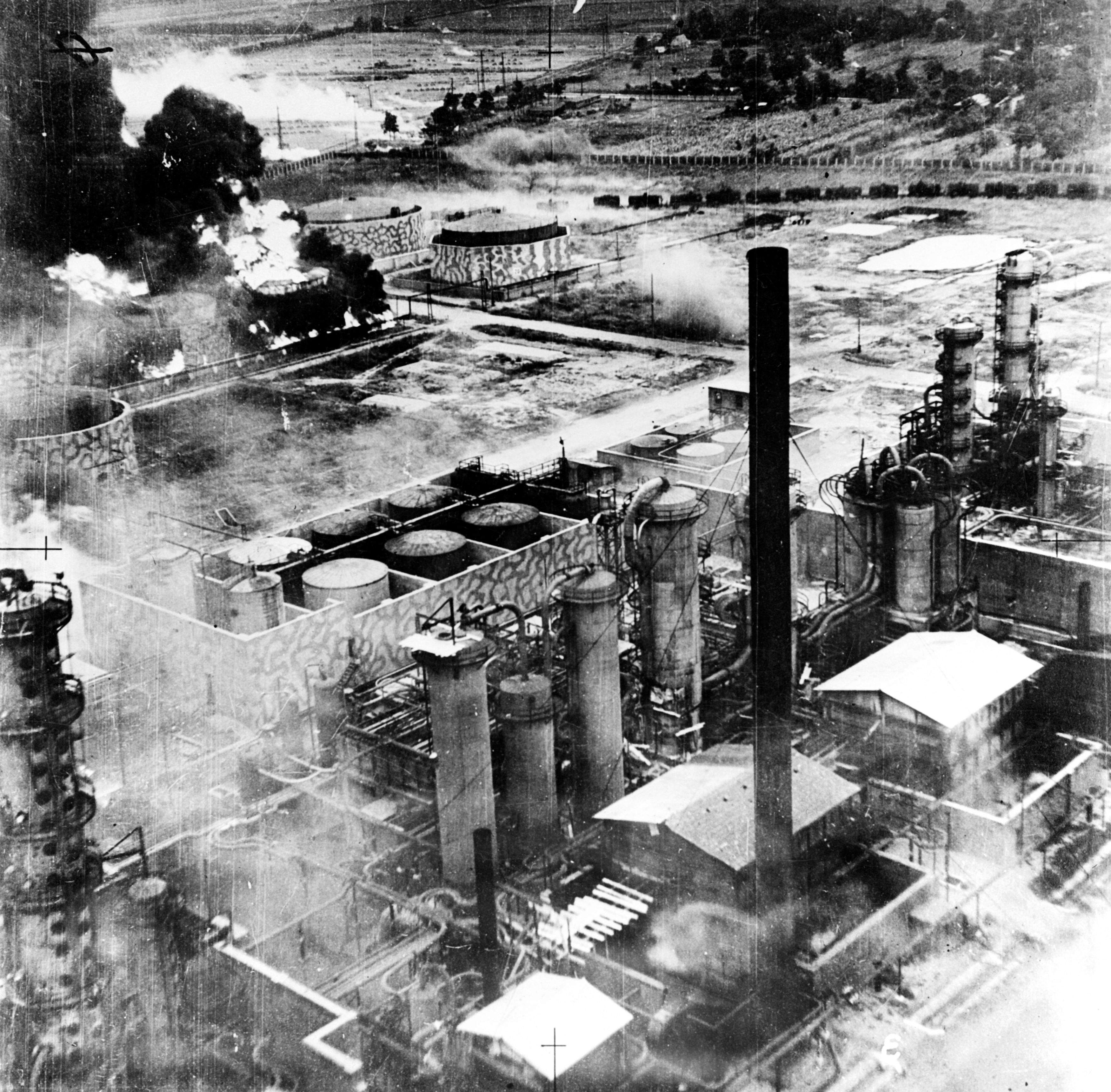
Petrobrazi Refinery is one of the largest Romanian refineries and one of the largest in Eastern Europe, located near Ploiești, Prahova County having as a main activity the processing of Romanian oil but also has a separate unit specialised in processing chemical products. The refinery had two processing modules with a nominal capacity of 3.5 million tonnes/year each and a total capacity of 7 million tonnes/year. Now only one of the two modules is operational and has a capacity of 4.5 million tonnes/year or , 1 million tonnes larger due to an investment program from 1999 - 2000. The facility is connected by pipeline to virtually all of the oil fields in Romania and to the Port of Constanța by a pipeline with a capacity of 10,000 tonnes/day. History Petrobrazi was founded on 17 June 1934 by the Creditul Minier Society in a strategic industrial zone of located in Southern Romania near Ploiești. The first oil processing capacity was established in 1934 and had a processing capaci ... [...More Info...] [...Related Items...] OR: [Wikipedia] [Google] [Baidu] |
Ministry Of Administration And Interior (Romania)
The Ministry of Internal Affairs of Romania () is one of the eighteen ministries of the Government of Romania. From 23 August 1944 to 18 March 1975 the ministry held the title of ''Minister of Internal Affairs'', between 2004 and 2007, held the title of ''Minister of Administration and Interior'', and since April 2007, ''Minister of Interior and Administrative Reform''. In December 2008, the Boc government changed the name back to ''Ministry of Administration and Interior''. Until 2006, the ministry was housed near Lipscani in ''Palatul Vama Poştei'', built between 1914 and 1926 according to the architect Statie Ciortan's plans. In 2006 the ministry moved into the former building of the Senate on Revolution Square. Subordinated structures Within Romania, the following structures are subordinated to the Ministry of Internal Affairs: * Romanian Police * Romanian Gendarmerie * Romanian Border Police * General Inspectorate for Emergency Situations * General Inspectorate for ... [...More Info...] [...Related Items...] OR: [Wikipedia] [Google] [Baidu] |
Maramureș County
Maramureș County () is a county (județ) in Romania, in the Maramureș region. The county seat is Baia Mare. Name In Hungarian language, Hungarian it is known as ''Máramaros megye'', in Ukrainian language, Ukrainian as Мараморо́щина, in German language, German as ''Kreis Marmarosch'', and in Yiddish as מאַרמאַראָש. Geography Maramureș County is situated in the northern part of Romania, in the Historical regions of Romania, historical region of Transylvania, and has a border with Ukraine. This county has a total area of , of which 43% is covered by the Rodna Mountains, with its tallest peak, , at altitude. Together with the Gutin Mountains, Gutâi and Țibleș Mountains, Țibleș mountain ranges, the Rodna mountains are part of the Eastern Carpathians. The rest of the county are hills, plateaus, and valleys. The county is crossed by Tisza, Tisa River and its main tributaries: the Iza (river), Iza, Vișeu, and Mara (Iza), Mara rivers. Ne ... [...More Info...] [...Related Items...] OR: [Wikipedia] [Google] [Baidu] |


