|
Buckel's Bog
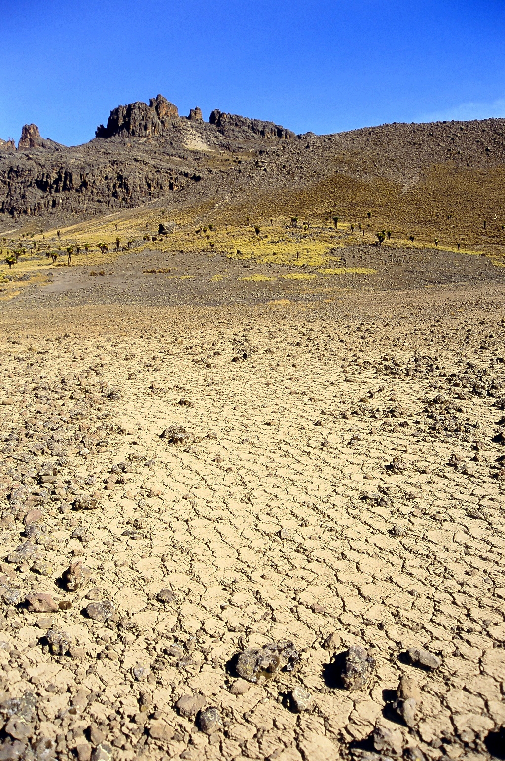
Buckel's Bog was a 160-acre, shallow periglacial lake or a glade that occupied the headwater region of the North Branch of the Casselman River in Garrett County, Maryland during the late Pleistocene epoch. It is the remnant of the only known natural lake in Maryland. The eastern side of the remaining evidence of Buckel's Bog is presently traversed by the Casselman River as its waters flow northward into Pennsylvania. In the nineteenth century, the fledgling United States began its westward expansion; the National Road was one artery proposed and constructed to facilitate this westward flow. The proposed road would cross the Casselman River just south of Buckel's Bog, so the (at that time) country's largest stone-arch bridge was constructed (1813–14) over the river. The 80–foot–span Casselman Bridge The Casselman Bridge is an historic transportation structure on the Casselman River, located immediately east of Grantsville in Garrett County, Maryland. The bridge was built i ... [...More Info...] [...Related Items...] OR: [Wikipedia] [Google] [Baidu] |
Garrett County, Maryland
Garrett County () is the westernmost county of the U.S. state of Maryland. As of the 2020 census, the population was 28,806, making it the third-least populous county in Maryland. Its county seat is Oakland. The county was named for John Work Garrett (1820–1884), president of the Baltimore and Ohio Railroad. Created from Allegany County, Maryland in 1872, it was the last Maryland county to be formed. Garrett County has long been part of the media market of Pittsburgh, Pennsylvania. It is considered to be a part of Western Maryland. The Commonwealth of Pennsylvania is to the north. The Maryland–Pennsylvania boundary is commonly known as the Mason–Dixon line. The eastern border with Allegany County was defined by the Bauer Report, submitted to Governor Lloyd Lowndes, Jr. on November 9, 1898. The Potomac River and State of West Virginia lie to the south and west. Garrett County lies in the Allegheny Mountains, which here form the western flank of the Appalachian Mount ... [...More Info...] [...Related Items...] OR: [Wikipedia] [Google] [Baidu] |
Maryland
Maryland ( ) is a state in the Mid-Atlantic region of the United States. It shares borders with Virginia, West Virginia, and the District of Columbia to its south and west; Pennsylvania to its north; and Delaware and the Atlantic Ocean to its east. Baltimore is the largest city in the state, and the capital is Annapolis. Among its occasional nicknames are '' Old Line State'', the ''Free State'', and the '' Chesapeake Bay State''. It is named after Henrietta Maria, the French-born queen of England, Scotland, and Ireland, who was known then in England as Mary. Before its coastline was explored by Europeans in the 16th century, Maryland was inhabited by several groups of Native Americans – mostly by Algonquian peoples and, to a lesser degree, Iroquoian and Siouan. As one of the original Thirteen Colonies of England, Maryland was founded by George Calvert, 1st Baron Baltimore, a Catholic convert"George Calvert and Cecilius Calvert, Barons Baltimore" William Hand Browne, ... [...More Info...] [...Related Items...] OR: [Wikipedia] [Google] [Baidu] |
Glade (geography)
In the most general sense, a glade or clearing is an open area within a forest. Glades are often grassy meadows under the canopy of deciduous trees such as red alder or quaking aspen in western North America. They also represent openings in forests where local conditions such as avalanches, poor soils, or fire damage have created semipermanent clearings. They are very important to herbivorous animals, such as deer and elk, for forage and denning activities. Sometimes the word is used in a looser sense, as in the treeless wetlands of the Everglades of Florida. In the central United States, calcareous glades occur with rocky, prairie-like habitats in areas of shallow soil. Glades are characterized by unique plant and animal communities that are adapted to harsh and dry conditions. See also *Treefall gap A treefall gap is a distinguishable hole in the canopy of a forest with vertical sides extending through all levels down to an average height of above ground. These holes o ... [...More Info...] [...Related Items...] OR: [Wikipedia] [Google] [Baidu] |
Periglaciation
Periglaciation (adjective: "periglacial", also referring to places at the edges of glacier, glacial areas) describes Geomorphology, geomorphic processes that result from seasonal thawing of snow in areas of permafrost, the runoff from which refreezes in ice wedges and other structures. "Periglacial" suggests an environment located on the margin of past glaciers. However, freeze and thaw cycles influence landscapes outside areas of past glaciation. Therefore, periglacial environments are anywhere that freezing and thawing modify the landscape in a significant manner. Tundra is a common Biocoenosis, ecological community in periglacial areas. History Periglaciation became a distinct subject within the study of geology after Walery Łoziński, a Polish geologist, introduced the term in 1909. Łoziński drew upon the early work of Johan Gunnar Andersson. According to Alfred Jahn, his introduction of his work at the 1910 International Geological Congress held in Stockholm caused signifi ... [...More Info...] [...Related Items...] OR: [Wikipedia] [Google] [Baidu] |


