Waipori River on:
[Wikipedia]
[Google]
[Amazon]
 The Waipori River is in
Otago
Otago (, ; mi, Ōtākou ) is a region of New Zealand located in the southern half of the South Island administered by the Otago Regional Council. It has an area of approximately , making it the country's second largest local government reg ...
in the South Island
The South Island, also officially named , is the larger of the two major islands of New Zealand in surface area, the other being the smaller but more populous North Island. It is bordered to the north by Cook Strait, to the west by the Tasman ...
of New Zealand. Rising in the Lammerlaw Range, it flows southeast for before joining the Taieri River near Henley
Henley may refer to:
Places United Kingdom
* Henley, Dorset, a location
* Henley, Gloucestershire, a location
* Henley-on-Thames, a town in South Oxfordshire, England
** Henley (UK Parliament constituency)
** Henley Rural District, a former ru ...
, southwest of Dunedin
Dunedin ( ; mi, Ōtepoti) is the second-largest city in the South Island of New Zealand (after Christchurch), and the principal city of the Otago region. Its name comes from , the Scottish Gaelic name for Edinburgh, the capital of Scotland. Th ...
of which it is officially the southernmost border. Google Maps erroneously shows the stretch of Taieri river from the confluence to the mouth as Waipori River. The correct name is shown on the New Zealand government's official NZ Topo Map.
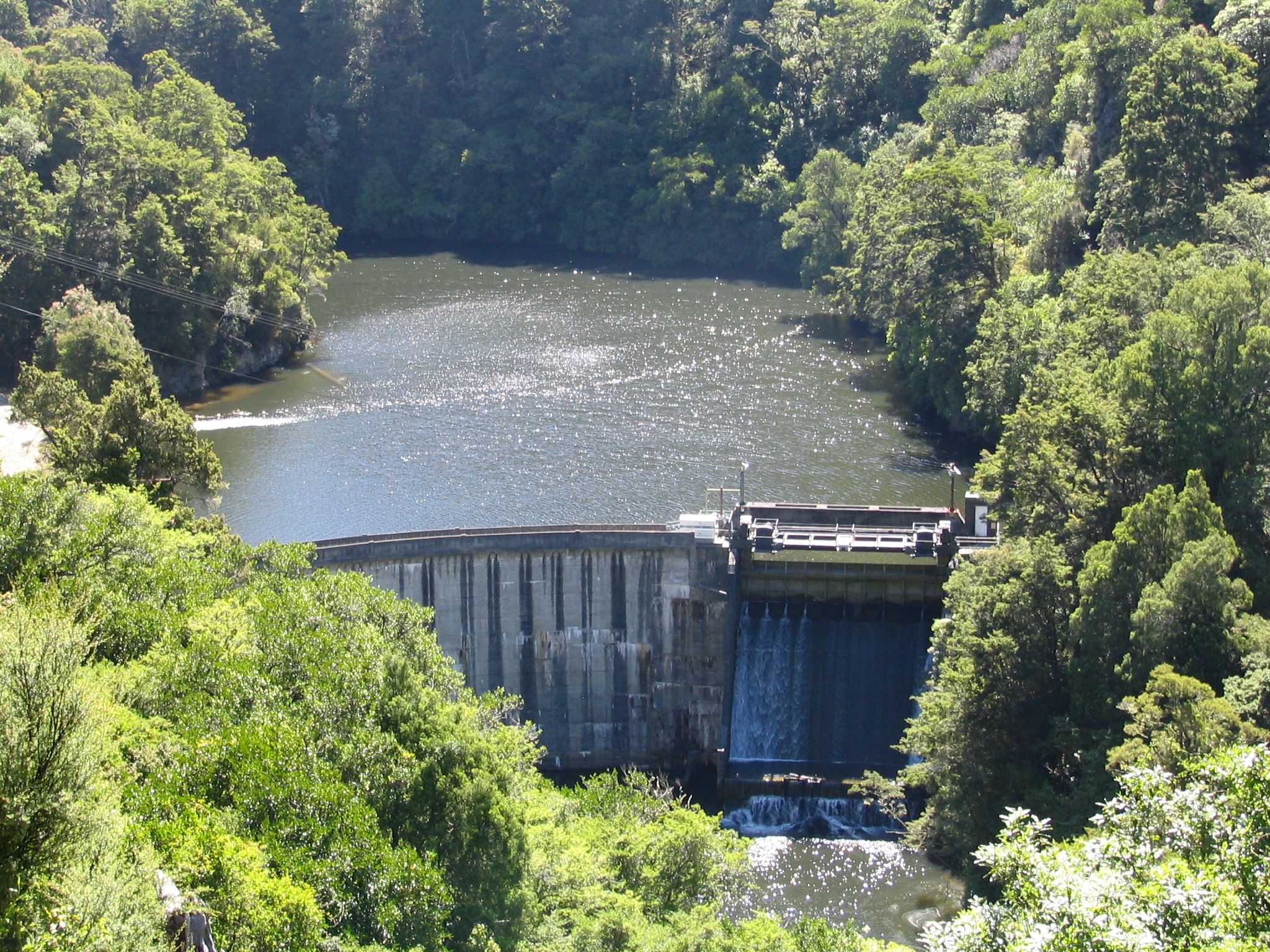
The upper reaches of the Waipori flow through rough hill country, much of it covered by the Berwick Forest. An artificial lake, Lake Mahinerangi
Lake Mahinerangi is a lake formed when a dam was built on the Waipori River for hydroelectric generation. The lake is to the west of Dunedin in New Zealand's South Island. Construction of the dam started in 1903 and since 1907, power has been pr ...
is formed on the river behind a small hydroelectric
Hydroelectricity, or hydroelectric power, is electricity generated from hydropower (water power). Hydropower supplies one sixth of the world's electricity, almost 4500 TWh in 2020, which is more than all other renewable sources combined an ...
station at Waipori Falls, which was built in 1880 to provide power for the city of Dunedin. Much of this area is within the Waipori Falls Scenic Reserve.Dann, C. & Peat, N. (1989) ''Dunedin, North and South Otago.'' Wellington: GP Books; pp. 66-69.
The lower reaches of the river pass through an area of wetlands around Lakes Waihola
The township of Waihola lies between Dunedin and Milton, New Zealand in Otago, in New Zealand's South Island. It lies close to the southeast shore of the shallow tidal lake which shares its name.
The town is located on State Highway 1, and th ...
and Waipori, both of which drain into the river. This area is a habitat for many species of wading birds. The Sinclair Wetlands
The Sinclair Wetlands (''Te Nohoaka o Tukiauau'') are an internationally renowned wetlands located to the south west of Dunedin, New Zealand, at the southern edge of the Taieri Plains. They are on the western side of Lake Waipori and approximat ...
reserve is located in this area.
The name Waipori comes from Māori
Māori or Maori can refer to:
Relating to the Māori people
* Māori people of New Zealand, or members of that group
* Māori language, the language of the Māori people of New Zealand
* Māori culture
* Cook Islanders, the Māori people of the Co ...
words meaning "dark water". p. 453.
Notes
Rivers of Otago Rivers of New Zealand Taieri River {{Otago-river-stub